Trumley Copse
Wood, Forest in Sussex Chichester
England
Trumley Copse
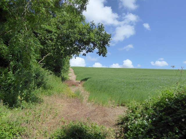
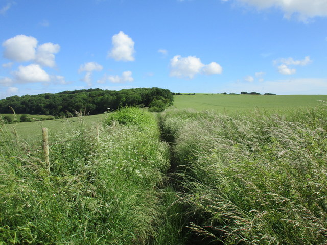
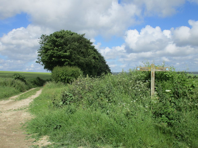
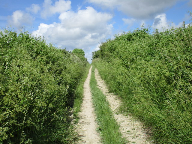
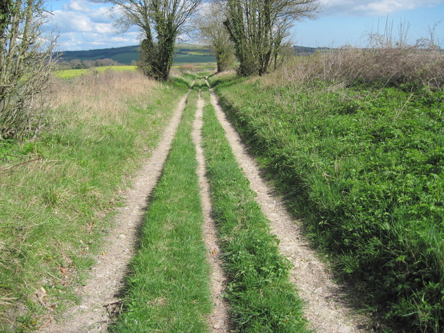
Trumley Copse is a picturesque woodland area located in Sussex, England. Covering approximately 50 acres, this peaceful forest is a popular destination for nature lovers and outdoor enthusiasts. The copse is characterized by its dense canopy of mature oak, ash, and beech trees, creating a lush and verdant environment that is home to a variety of wildlife.
Trumley Copse is crisscrossed with a network of winding trails and footpaths, making it an ideal spot for hiking, walking, and birdwatching. The forest floor is carpeted with a diverse array of wildflowers, ferns, and mosses, adding to the area's natural beauty.
Visitors to Trumley Copse can also enjoy a picnic in one of the designated areas, or simply relax and take in the tranquil surroundings. The copse is well-maintained and cared for by local conservation groups, ensuring that its natural charm and biodiversity are preserved for future generations to enjoy.
Overall, Trumley Copse offers a peaceful and immersive woodland experience, perfect for those looking to escape the hustle and bustle of everyday life and reconnect with nature.
If you have any feedback on the listing, please let us know in the comments section below.
Trumley Copse Images
Images are sourced within 2km of 50.87313/-0.80690086 or Grid Reference SU8408. Thanks to Geograph Open Source API. All images are credited.


Trumley Copse is located at Grid Ref: SU8408 (Lat: 50.87313, Lng: -0.80690086)
Administrative County: West Sussex
District: Chichester
Police Authority: Sussex
What 3 Words
///bulldozer.blank.headed. Near Chichester, West Sussex
Nearby Locations
Related Wikis
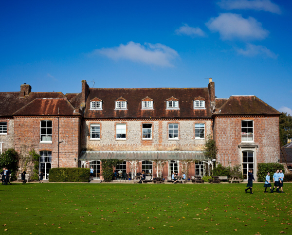
Lavant House
Lavant House (or West Lavant House) is a country house and estate in the parish of Lavant, West Sussex, England. It was used as a private school for girls...
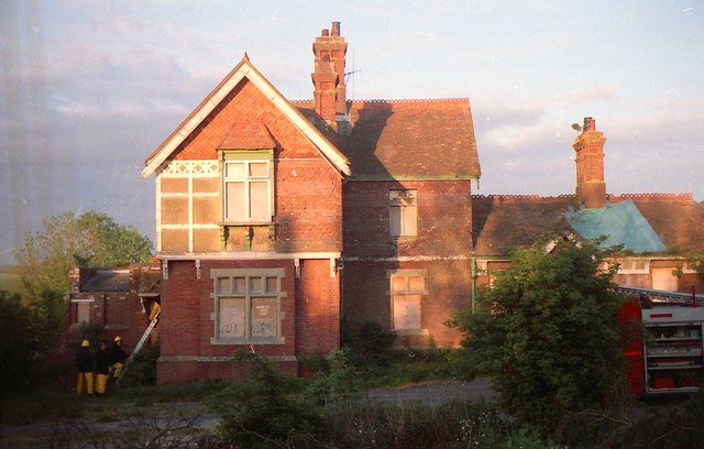
Lavant railway station
Lavant Railway Station served the village group of Lavant in the county of West Sussex in England. It was on the former London Brighton and South Coast...
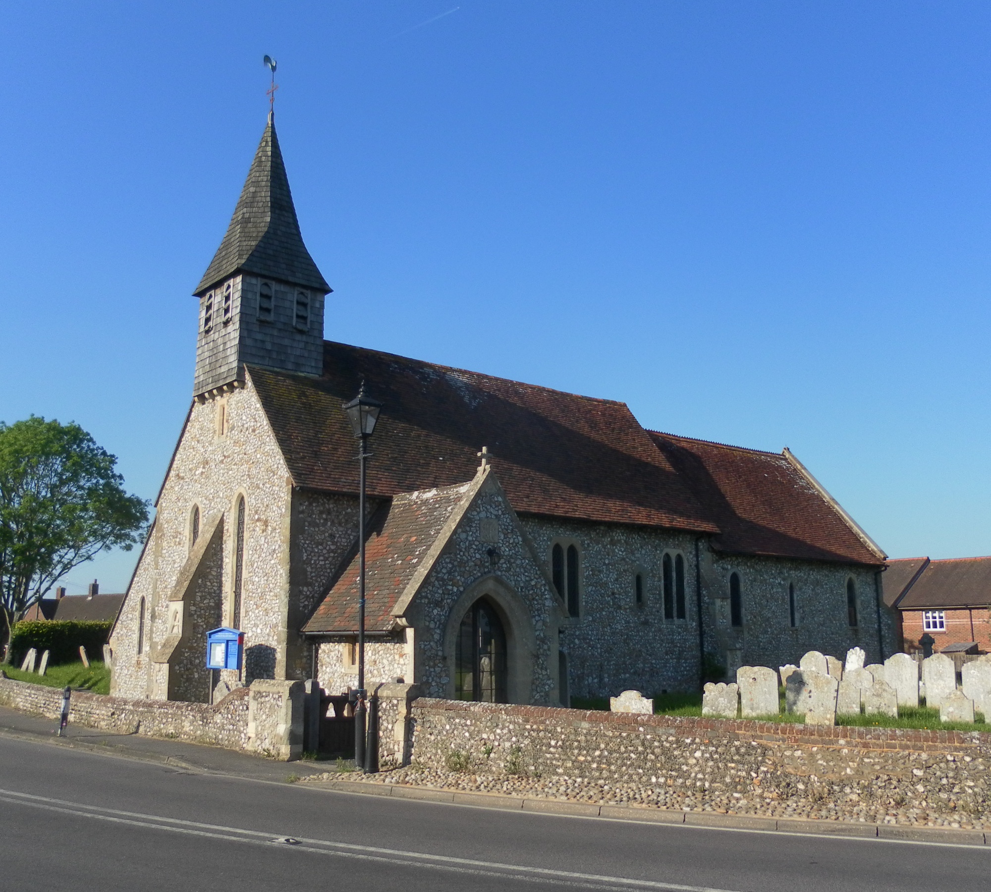
Lavant, West Sussex
Lavant is a civil parish in the Chichester district of West Sussex, England, 2.2 miles (3.5 km) north of Chichester. It includes three villages: Mid Lavant...

Sennicotts
Sennicotts is a small estate near Chichester, West Sussex, England, formed in 1809 by Charles Baker (1761–1839) having retired after serving in Madras...
Nearby Amenities
Located within 500m of 50.87313,-0.80690086Have you been to Trumley Copse?
Leave your review of Trumley Copse below (or comments, questions and feedback).