West End

Settlement in Norfolk Breckland

England

West End

Direction Sign – Signpost on Dereham Road, Mattishall Located on the northwest side of the crossroads of Dereham Road, Norwich Road, Burgh Lane and Church Plain in Mattishall parish. 3 arms and missing annulus finial. 

Milestone Society National ID: NO_TG0511
Direction Sign – Signpost on Dereham Road, Mattishall Credit: A Hogg

West End is a neighborhood located in Norfolk, Virginia, situated on the western side of the city. It is primarily a residential area, known for its historic charm and tree-lined streets. West End is bordered by the Elizabeth River to the north, Granby Street to the east, and the Lafayette River to the west.

The neighborhood is home to a mix of architectural styles, including Colonial Revival, Craftsman, and Victorian homes. Many of these houses date back to the early 20th century, showcasing the area's rich history. West End's well-maintained streets and sidewalks create a welcoming atmosphere for residents and visitors alike.

One of the standout features of West End is its proximity to several parks and recreational areas. The Lafayette Park, located on the western edge of the neighborhood, offers stunning views of the Lafayette River and provides a perfect spot for picnics, walks, or simply relaxing. Additionally, West Ghent Playground, a popular destination for families, offers a range of amenities such as playground equipment, basketball courts, and open green spaces.

West End is also known for its vibrant dining and shopping scene. The neighborhood boasts a variety of local restaurants, cafes, and boutique shops, offering a wide range of cuisines and products.

Overall, West End is a picturesque and community-oriented neighborhood in Norfolk, Virginia, offering a blend of historic charm, recreational opportunities, and a thriving local business scene.

If you have any feedback on the listing, please let us know in the comments section below.
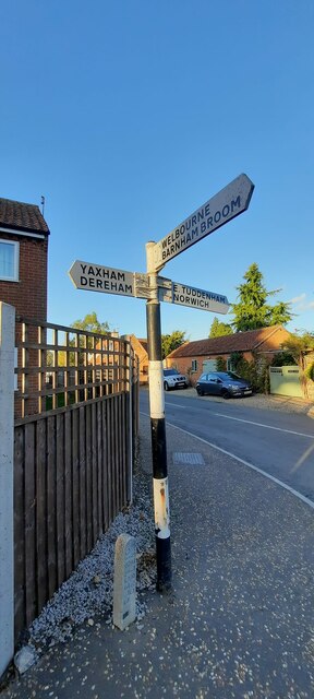
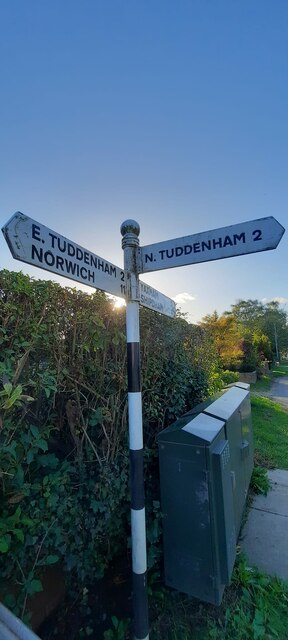
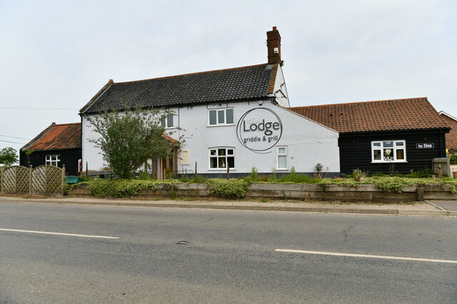
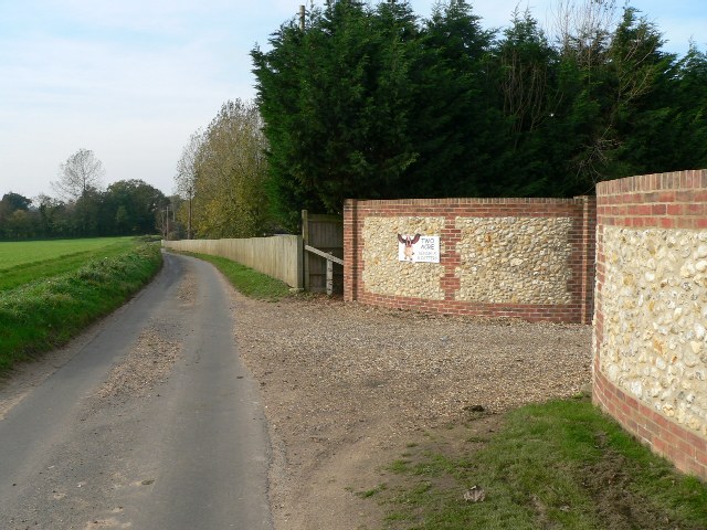
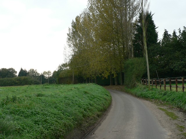
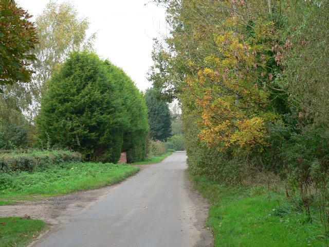
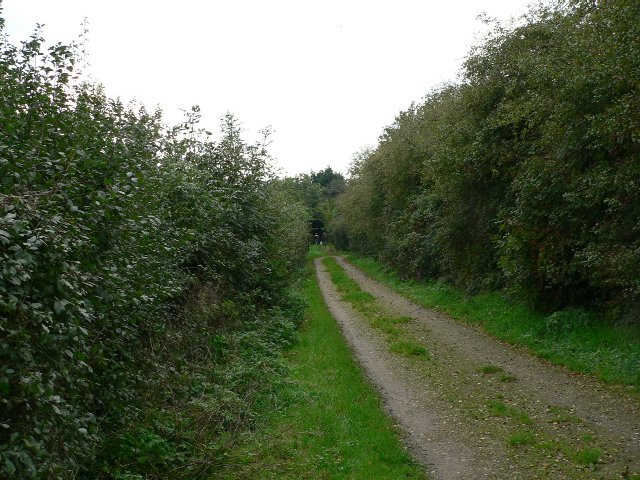
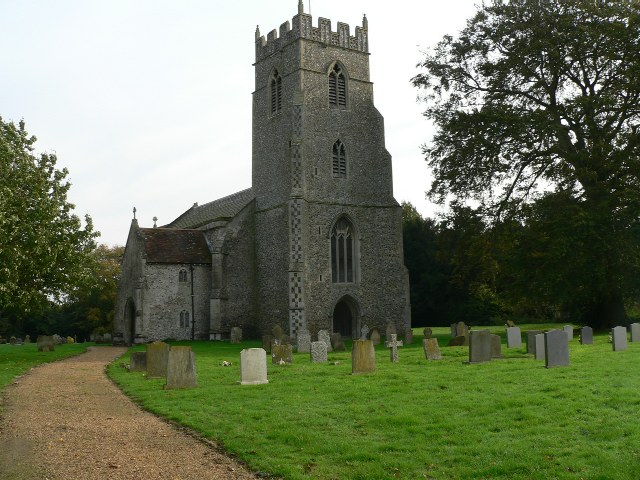
West End Images

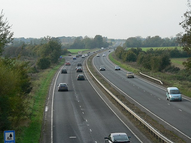
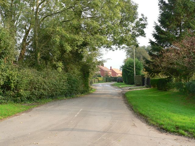
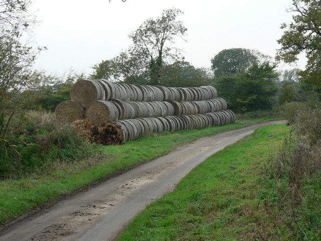
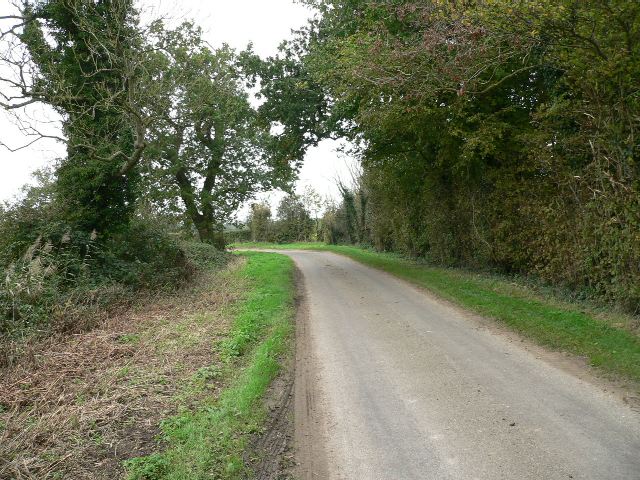
Images are sourced within 2km of 52.671964/1.0211504 or Grid Reference TG0412. Thanks to Geograph Open Source API. All images are credited.

Direction Sign – Signpost on Dereham Road, Mattishall Located on the northwest side of the crossroads of Dereham Road, Norwich Road, Burgh Lane and Church Plain in Mattishall parish. 3 arms and missing annulus finial. 

Milestone Society National ID: NO_TG0511
Direction Sign – Signpost on Dereham Road, Mattishall
Located on the northwest side of the crossroads of Dereham Road, Norwich Road, Burgh Lane and Church Plain in Mattishall parish. 3 arms and missing annulus finial. Milestone Society National ID: NO_TG0511
Direction Sign – Signpost on Dereham Road, Mattishall Located on the south side of the junction of Dereham Road and Mill Road in Mattishall parish. 3 arms and ball finial. A replacement at some time after 2012 for a fingerpost with a wooden post and arms which can be seen on Street View.

Milestone Society National ID: NO_TG0411
Direction Sign – Signpost on Dereham Road, Mattishall
Located on the south side of the junction of Dereham Road and Mill Road in Mattishall parish. 3 arms and ball finial. A replacement at some time after 2012 for a fingerpost with a wooden post and arms which can be seen on Street View. Milestone Society National ID: NO_TG0411
North Tuddenham: The Lodge griddle and grill
An Impressive Approach The entrance to Two Acre Kennels and Cattery between Hockering and North Tuddenham.
An Impressive Approach
The entrance to Two Acre Kennels and Cattery between Hockering and North Tuddenham.
A Major Artery The A47 looking towards Dereham from the Mill Road bridge.
A Major Artery
The A47 looking towards Dereham from the Mill Road bridge.
Low Road North Tuddenham.
Low Road
North Tuddenham.
A Straw-Lined Road Bales of straw on Mill Road, North-west of Ballard's Bridge.
A Straw-Lined Road
Bales of straw on Mill Road, North-west of Ballard's Bridge.
The Road To North Tuddenham North-west of Ballard's Bridge.
The Road To North Tuddenham
North-west of Ballard's Bridge.
Mill Road Looking towards Mattishall.
Mill Road
Looking towards Mattishall.
Mill Road, Mattishall Looking towards Clippings Farm.
Mill Road, Mattishall
Looking towards Clippings Farm.
A Track Between Two Hedges The Public Footpath from Thynne's Lane to Old Hall Road.
A Track Between Two Hedges
The Public Footpath from Thynne's Lane to Old Hall Road.
The Parish Church Of St. Mary North Tuddenham. The church is a surprising distance from the centre of the village.
The Parish Church Of St. Mary
North Tuddenham. The church is a surprising distance from the centre of the village.
To Church On Foot A Public Footpath off Burgh Lane, Mattishall Burgh.
To Church On Foot
A Public Footpath off Burgh Lane, Mattishall Burgh.
The Lodge Public House North Tuddenham. The Lodge was on the former A47 until the present road was built, which must have greatly affected its trade.
The Lodge Public House
North Tuddenham. The Lodge was on the former A47 until the present road was built, which must have greatly affected its trade.
A Tidy Field On the way to Old Hall Farm.
A Tidy Field
On the way to Old Hall Farm.
The Road From Dereham Towards Mattishall.
The Road From Dereham
Towards Mattishall.
Farm Fresh A stall with fruit and vegetables for sale at the end of the drive to Old Moor Farm, Mattishall.
Farm Fresh
A stall with fruit and vegetables for sale at the end of the drive to Old Moor Farm, Mattishall.
Track, 1.4 Km NW Mattishall, Norfolk Track leads to Stoneroad Farm (TG 028120)
Track, 1.4 Km NW Mattishall, Norfolk
Track leads to Stoneroad Farm (TG 028120)
Show me another place!

West End is located at Grid Ref: TG0412 (Lat: 52.671964, Lng: 1.0211504)

Administrative County: Norfolk

District: Breckland

Police Authority: Norfolk

What 3 Words

///spades.scooped.bookshelf. Near Mattishall, Norfolk

Nearby Locations

West End Clippings Green

Related Wikis

Rosie Curston's Meadow, Mattishall

Rosie Curston's Meadow is a 2.3-hectare (5.7-acre) biological Site of Special Scientific Interest in Mattishall in Norfolk.This unimproved calcareous clay...

List of Sites of Special Scientific Interest in Norfolk

In England, Sites of Special Scientific Interest (SSSIs) are designated by Natural England, which is responsible for protecting England's natural environment...

List of local nature reserves in Norfolk

Norfolk is a county in East Anglia. It has an area of 2,074 square miles (5,370 square kilometres) and a population as of mid-2017 of 898,400. The top...

North Tuddenham

North Tuddenham is a civil parish in the English county of Norfolk, North Tuddenham is 3 miles (4.8 km) east of East Dereham, and is close to the A47 road...

Nearby Amenities

Located within 500m of 52.671964,1.0211504
Clippings Green
Place: village
Lat/Long: 52.6718344/1.0269408
West End
Place: village
Lat/Long: 52.6716444/1.0205258
Post Box
Lat/Long: 52.6720282/1.0210567
The data included in this document is from www.openstreetmap.org. The data is made available under ODbL.

Have you been to West End?

Leave your review of West End below (or comments, questions and feedback).