West End
Settlement in Lincolnshire East Lindsey
England
West End
West End is a charming village located in the county of Lincolnshire in eastern England. Situated near the town of Spalding, it is a small yet vibrant community with a population of around 1,500 residents.
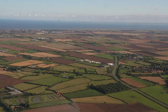
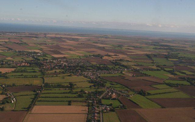
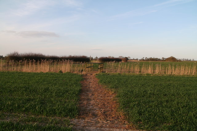
The village is known for its picturesque setting, surrounded by lush green fields and rolling countryside. It offers a peaceful and idyllic atmosphere, making it an ideal place for those seeking a tranquil lifestyle away from the hustle and bustle of larger towns and cities.
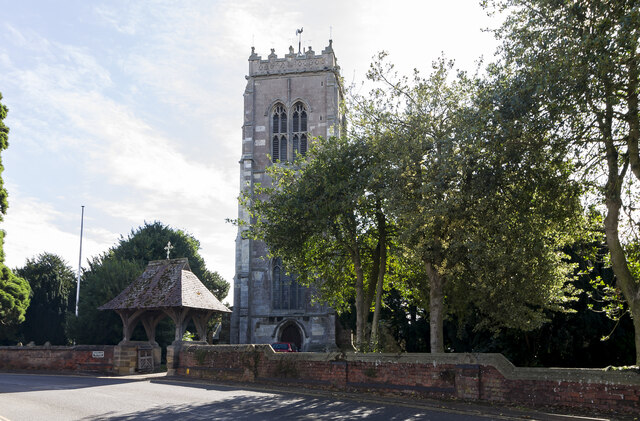
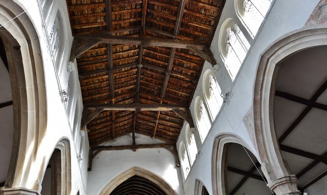
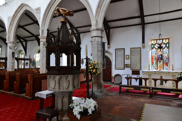
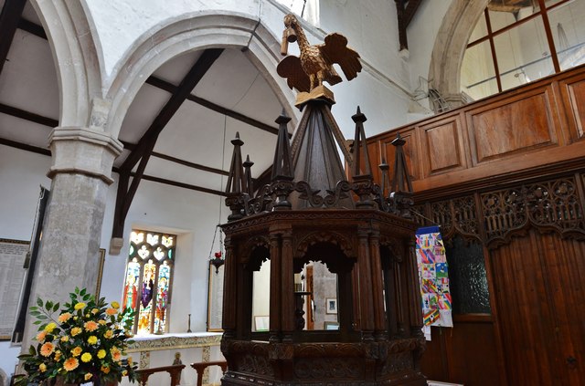
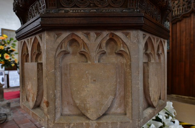
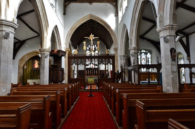
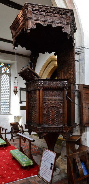
West End boasts a rich history, with records dating back to the medieval period. The village has several historic buildings, including a beautiful 14th-century church, which adds to its rustic charm. The local community takes great pride in preserving the heritage and character of the area.
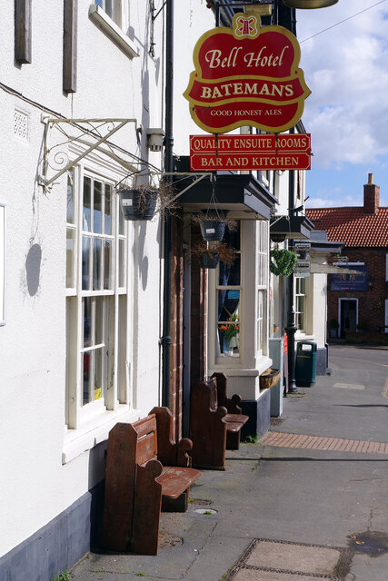
Despite its small size, West End has a strong sense of community and offers a range of amenities for its residents. The village has a primary school, a village hall, and a local pub that serves as a hub for social gatherings. There are also several shops and businesses catering to the daily needs of the residents.
For those who enjoy outdoor activities, West End provides ample opportunities for walking, cycling, and exploring the surrounding countryside. The village is also conveniently located near the River Welland, offering fishing and boating opportunities.
Overall, West End is a delightful village that offers a peaceful and close-knit community, coupled with its beautiful surroundings and historical charm. It is a place where residents can enjoy a quality lifestyle in a serene setting.
If you have any feedback on the listing, please let us know in the comments section below.
West End Images
Images are sourced within 2km of 53.162081/0.23816424 or Grid Reference TF4965. Thanks to Geograph Open Source API. All images are credited.
West End is located at Grid Ref: TF4965 (Lat: 53.162081, Lng: 0.23816424)
Division: Parts of Lindsey
Administrative County: Lincolnshire
District: East Lindsey
Police Authority: Lincolnshire
What 3 Words
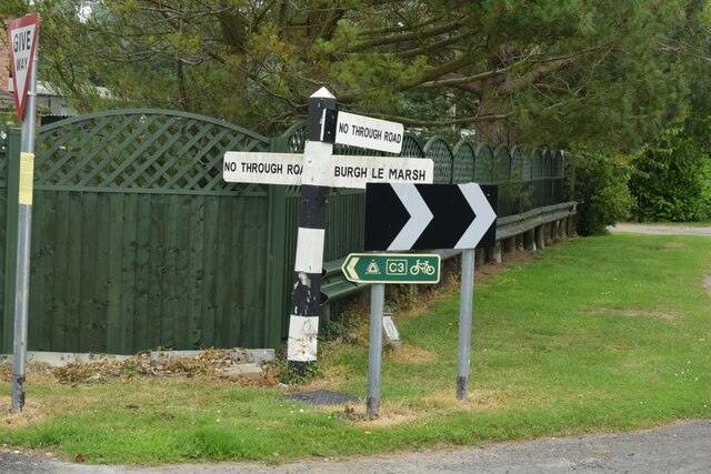
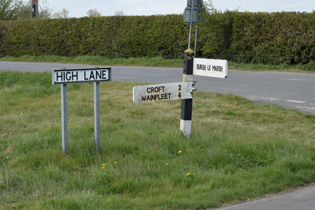
///unfilled.servers.belt. Near Burgh le Marsh, Lincolnshire
Related Wikis

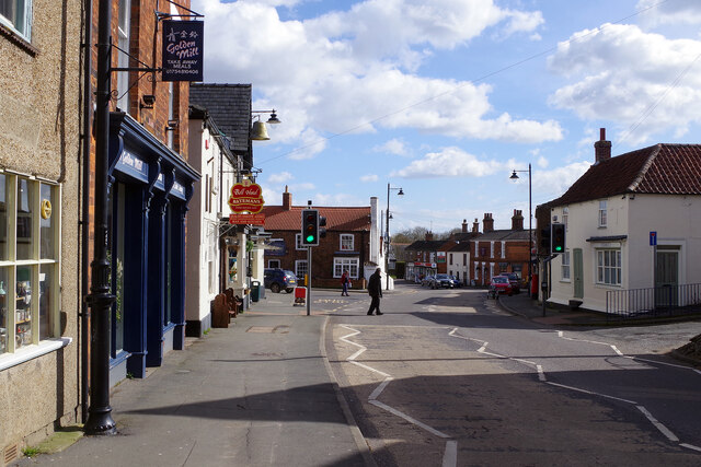
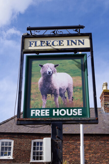
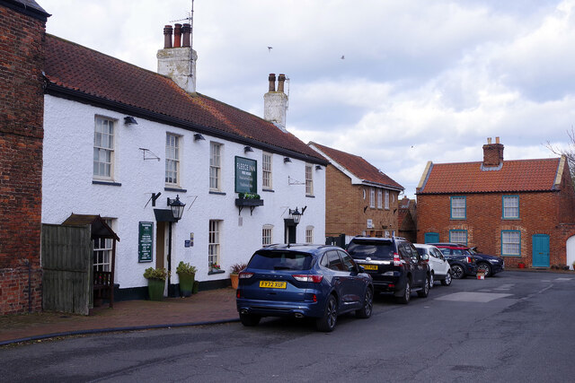
Burgh le Marsh
Burgh le Marsh is a town and civil parish in the East Lindsey district of Lincolnshire, England. == Geography == The town is built on a low hill surrounded...

Dobson's Mill
Dobson's Mill was a working tower windmill for grinding wheat and corn. It stands in the High Street in the town of Burgh le Marsh, near Skegness in Lincolnshire...

Burgh Bypass
Burgh Bypass is a bypass of the town of Burgh Le Marsh near Skegness. It was passed in 2005 and construction began in September 2006 after a lengthy campaign...

Orby
Orby is a village and civil parish in the East Lindsey district of Lincolnshire, England. It is situated approximately 9 miles (14 km) east from the town...

Bratoft
Bratoft is a small hamlet in the East Lindsey district of Lincolnshire, England. It is situated approximately 5 miles (8 km) east from Spilsby, 2 miles...

Burgh-le-Marsh railway station
Burgh-le-Marsh was a railway station on the East Lincolnshire Railway which served the town of Burgh le Marsh in Lincolnshire between 1848 and 1970. It...

Irby in the Marsh
Irby in the Marsh is a village and civil parish in the East Lindsey district of Lincolnshire, England. It is situated on the B1195 road, geographically...

Gunby Hall
Gunby Hall is a country house in Gunby, near Spilsby, in Lincolnshire, England, reached by a half mile long private drive. The Estate comprises the 42...
Nearby Amenities
Located within 500m of 53.162081,0.23816424Have you been to West End?
Leave your review of West End below (or comments, questions and feedback).