Cock Hill
Hill, Mountain in Lincolnshire East Lindsey
England
Cock Hill
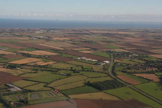
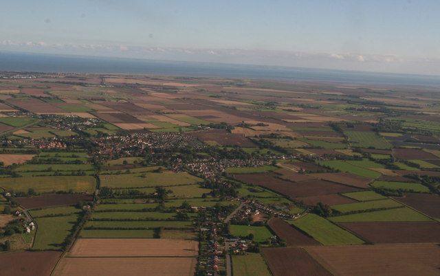
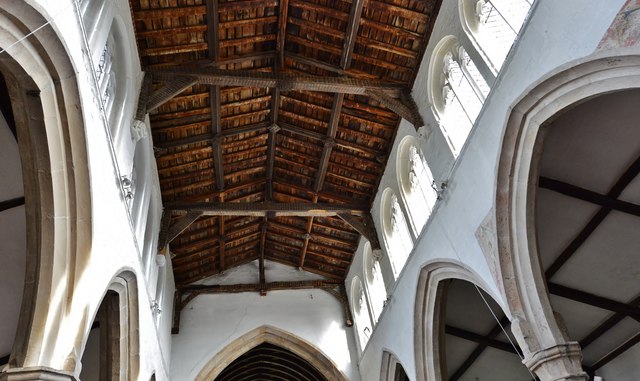
Cock Hill is a small hill located in the county of Lincolnshire, England. Situated near the village of Cockthorpe, it is part of the Lincolnshire Wolds, an Area of Outstanding Natural Beauty.
Standing at an elevation of approximately 148 meters (485 feet), Cock Hill is not a particularly high or prominent peak, but it offers stunning panoramic views of the surrounding countryside. The hill is covered in lush green grass and is dotted with small patches of trees, creating a picturesque landscape.
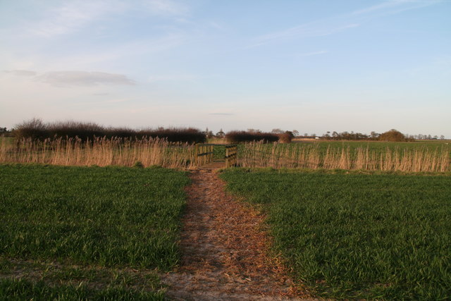
Cock Hill is a popular destination for hikers and nature enthusiasts, offering a range of walking trails and footpaths that wind through the surrounding countryside. Visitors can enjoy a leisurely stroll or a more challenging hike to the top of the hill, where they can take in the breathtaking views and appreciate the tranquility of the area.
The hill is also known for its rich wildlife, with various species of birds, mammals, and insects calling it their home. It provides a habitat for a wide range of flora and fauna, making it a haven for nature lovers and a great spot for birdwatching.
Cock Hill is a place of natural beauty and tranquility, offering a peaceful escape from the bustling city life. Whether it's for a leisurely walk, a picnic, or simply to enjoy the stunning views, visitors to Cock Hill are sure to be captivated by its charm and natural splendor.
If you have any feedback on the listing, please let us know in the comments section below.
Cock Hill Images
Images are sourced within 2km of 53.161935/0.24110373 or Grid Reference TF4965. Thanks to Geograph Open Source API. All images are credited.
Cock Hill is located at Grid Ref: TF4965 (Lat: 53.161935, Lng: 0.24110373)
Administrative County: Lincolnshire
District: East Lindsey
Police Authority: Lincolnshire
What 3 Words
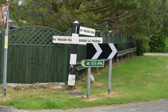
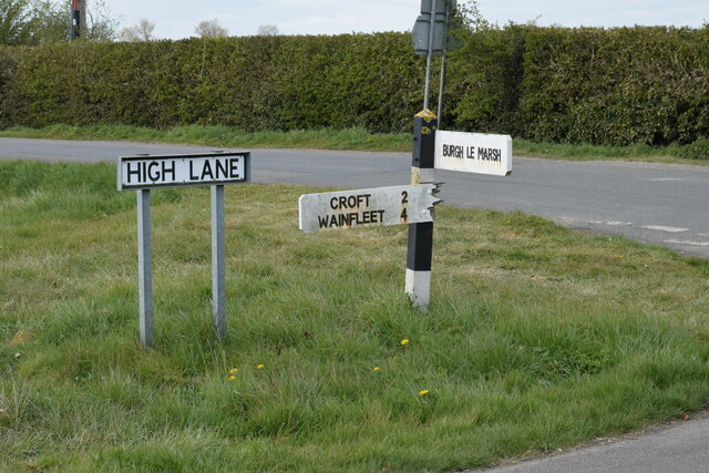
///wiggling.wager.hairstyle. Near Burgh le Marsh, Lincolnshire
Related Wikis

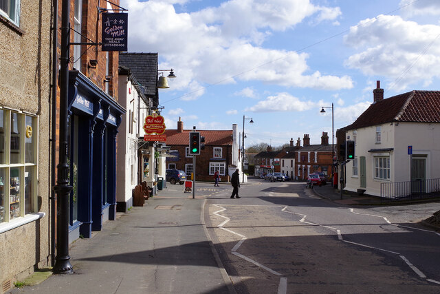
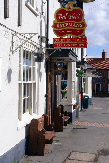
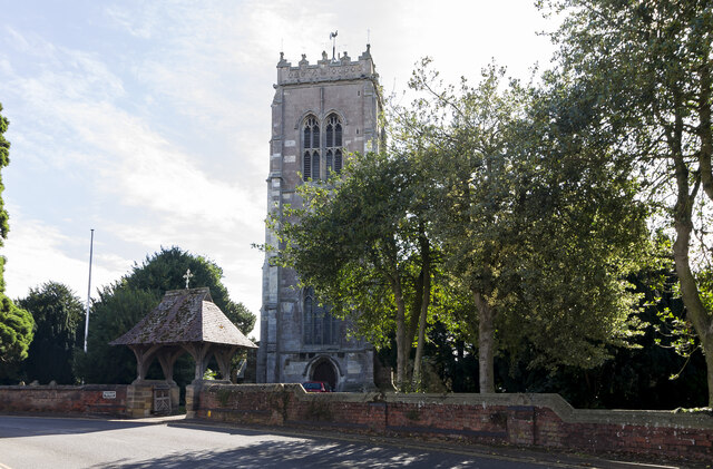
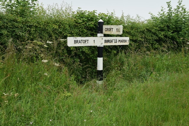
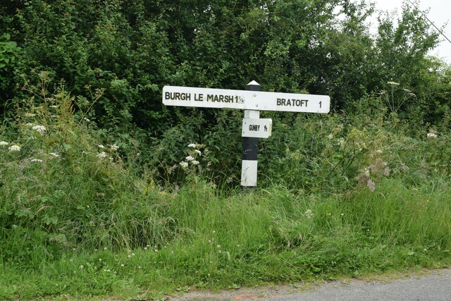
Burgh le Marsh
Burgh le Marsh is a town and civil parish in the East Lindsey district of Lincolnshire, England. == Geography == The town is built on a low hill surrounded...

Dobson's Mill
Dobson's Mill was a working tower windmill for grinding wheat and corn. It stands in the High Street in the town of Burgh le Marsh, near Skegness in Lincolnshire...

Burgh Bypass
Burgh Bypass is a bypass of the town of Burgh Le Marsh near Skegness. It was passed in 2005 and construction began in September 2006 after a lengthy campaign...

Orby
Orby is a village and civil parish in the East Lindsey district of Lincolnshire, England. It is situated approximately 9 miles (14 km) east from the town...

Bratoft
Bratoft is a small hamlet in the East Lindsey district of Lincolnshire, England. It is situated approximately 5 miles (8 km) east from Spilsby, 2 miles...

Burgh-le-Marsh railway station
Burgh-le-Marsh was a railway station on the East Lincolnshire Railway which served the town of Burgh le Marsh in Lincolnshire between 1848 and 1970. It...

Irby in the Marsh
Irby in the Marsh is a village and civil parish in the East Lindsey district of Lincolnshire, England. It is situated on the B1195 road, geographically...

Gunby Hall
Gunby Hall is a country house in Gunby, near Spilsby, in Lincolnshire, England, reached by a half mile long private drive. The Estate comprises the 42...
Nearby Amenities
Located within 500m of 53.161935,0.24110373Have you been to Cock Hill?
Leave your review of Cock Hill below (or comments, questions and feedback).