Clippings Green

Settlement in Norfolk Breckland

England

Clippings Green

Direction Sign – Signpost on Dereham Road, Mattishall Located on the northwest side of the crossroads of Dereham Road, Norwich Road, Burgh Lane and Church Plain in Mattishall parish. 3 arms and missing annulus finial. 

Milestone Society National ID: NO_TG0511
Direction Sign – Signpost on Dereham Road, Mattishall Credit: A Hogg

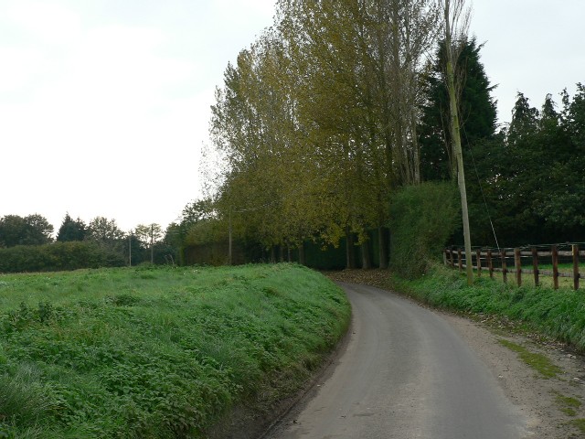
Clippings Green is a quaint and picturesque village located in the county of Norfolk, England. Situated amidst the rolling hills and lush green countryside, this charming village offers a serene and idyllic setting for residents and visitors alike.

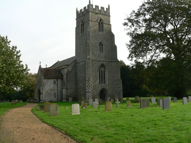
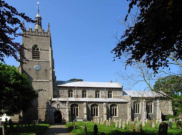
The village is characterized by its traditional thatched cottages, which add to its rustic and timeless appeal. The well-preserved architecture showcases the village's rich history, dating back several centuries. The local community takes great pride in maintaining the village's heritage, ensuring that it remains an authentic representation of rural England.

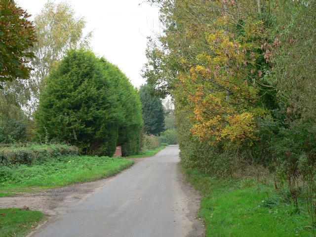
Surrounded by acres of fertile farmland, Clippings Green is known for its agricultural activities. The fertile soil and favorable climate make it an ideal location for farming, particularly for crops such as wheat, barley, and potatoes. The village's economy relies heavily on agriculture, with many residents working in farming or related industries.

Besides its natural beauty and rural charm, Clippings Green also offers a range of amenities for its residents. These include a village hall, a small but well-stocked grocery store, and a cozy pub that serves traditional English fare. The close-knit community fosters a strong sense of belonging and camaraderie among its inhabitants.

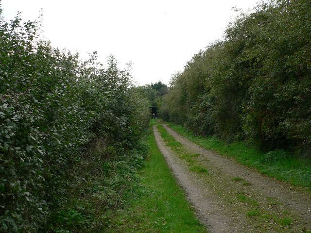
The village is surrounded by stunning natural landscapes, making it a popular destination for outdoor enthusiasts. There are numerous walking trails and cycling routes that allow visitors to explore the picturesque countryside and enjoy the tranquility of the area.

In conclusion, Clippings Green is a delightful village in Norfolk that offers a peaceful and authentic English countryside experience. Its rich history, breathtaking landscapes, and strong sense of community make it a truly special place to visit or call home.

If you have any feedback on the listing, please let us know in the comments section below.

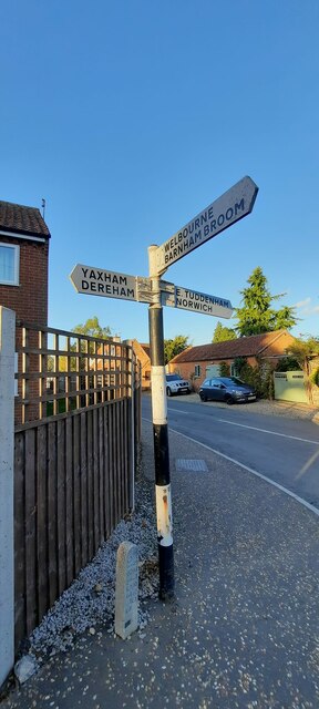
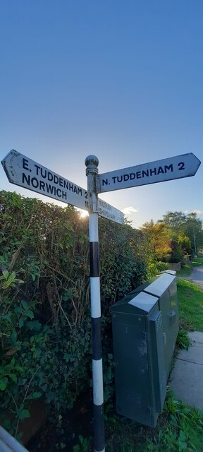
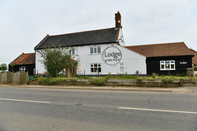
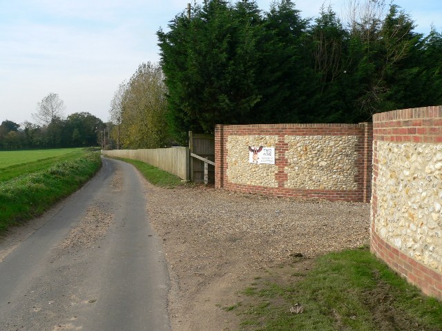
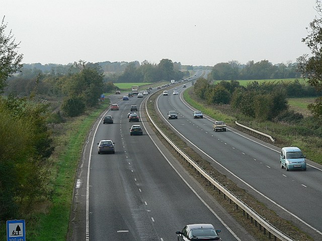
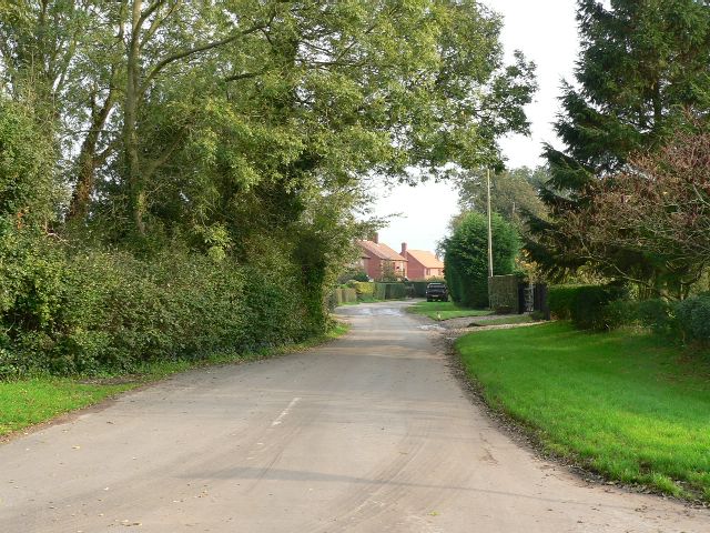
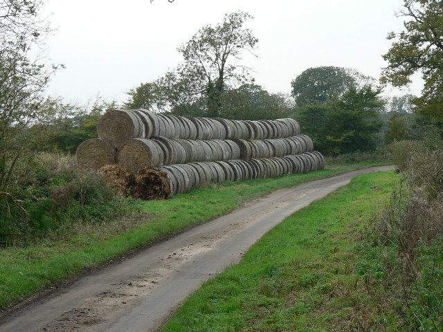
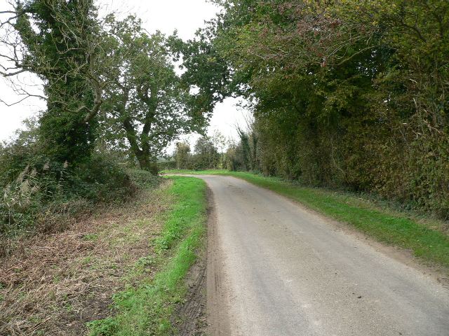
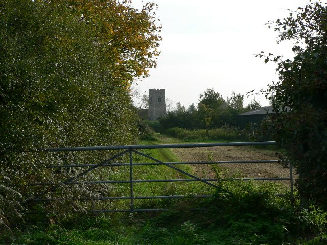
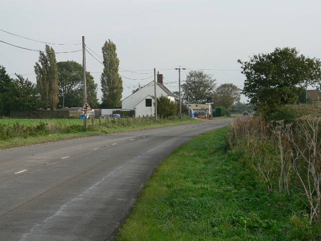
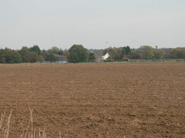
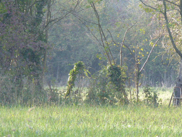
Clippings Green Images

Images are sourced within 2km of 52.67166/1.026922 or Grid Reference TG0412. Thanks to Geograph Open Source API. All images are credited.

Direction Sign – Signpost on Dereham Road, Mattishall Located on the northwest side of the crossroads of Dereham Road, Norwich Road, Burgh Lane and Church Plain in Mattishall parish. 3 arms and missing annulus finial. 

Milestone Society National ID: NO_TG0511
Direction Sign – Signpost on Dereham Road, Mattishall
Located on the northwest side of the crossroads of Dereham Road, Norwich Road, Burgh Lane and Church Plain in Mattishall parish. 3 arms and missing annulus finial. Milestone Society National ID: NO_TG0511
Direction Sign – Signpost on Dereham Road, Mattishall Located on the south side of the junction of Dereham Road and Mill Road in Mattishall parish. 3 arms and ball finial. A replacement at some time after 2012 for a fingerpost with a wooden post and arms which can be seen on Street View.

Milestone Society National ID: NO_TG0411
Direction Sign – Signpost on Dereham Road, Mattishall
Located on the south side of the junction of Dereham Road and Mill Road in Mattishall parish. 3 arms and ball finial. A replacement at some time after 2012 for a fingerpost with a wooden post and arms which can be seen on Street View. Milestone Society National ID: NO_TG0411
North Tuddenham: The Lodge griddle and grill
An Impressive Approach The entrance to Two Acre Kennels and Cattery between Hockering and North Tuddenham.
An Impressive Approach
The entrance to Two Acre Kennels and Cattery between Hockering and North Tuddenham.
A Well Used Trailer In a farmyard on Low Road.
A Well Used Trailer
In a farmyard on Low Road.
Storage Space Farm equipment in a shed near Whitford Bridge.
Storage Space
Farm equipment in a shed near Whitford Bridge.
The Road To Whitford Bridge From Mattishall.
The Road To Whitford Bridge
From Mattishall.
A Major Artery The A47 looking towards Dereham from the Mill Road bridge.
A Major Artery
The A47 looking towards Dereham from the Mill Road bridge.
Low Road North Tuddenham.
Low Road
North Tuddenham.
A Straw-Lined Road Bales of straw on Mill Road, North-west of Ballard's Bridge.
A Straw-Lined Road
Bales of straw on Mill Road, North-west of Ballard's Bridge.
The Road To North Tuddenham North-west of Ballard's Bridge.
The Road To North Tuddenham
North-west of Ballard's Bridge.
Mill Road Looking towards Mattishall.
Mill Road
Looking towards Mattishall.
Mill Road, Mattishall Looking towards Clippings Farm.
Mill Road, Mattishall
Looking towards Clippings Farm.
A Track Between Two Hedges The Public Footpath from Thynne's Lane to Old Hall Road.
A Track Between Two Hedges
The Public Footpath from Thynne's Lane to Old Hall Road.
The Parish Church Of St. Mary North Tuddenham. The church is a surprising distance from the centre of the village.
The Parish Church Of St. Mary
North Tuddenham. The church is a surprising distance from the centre of the village.
To Church On Foot A Public Footpath off Burgh Lane, Mattishall Burgh.
To Church On Foot
A Public Footpath off Burgh Lane, Mattishall Burgh.
The Lodge Public House North Tuddenham. The Lodge was on the former A47 until the present road was built, which must have greatly affected its trade.
The Lodge Public House
North Tuddenham. The Lodge was on the former A47 until the present road was built, which must have greatly affected its trade.
A Tidy Field On the way to Old Hall Farm.
A Tidy Field
On the way to Old Hall Farm.
Show me another place!

Clippings Green is located at Grid Ref: TG0412 (Lat: 52.67166, Lng: 1.026922)

Administrative County: Norfolk

District: Breckland

Police Authority: Norfolk

What 3 Words

///stereos.replace.undercuts. Near Mattishall, Norfolk

Nearby Locations

West End Clippings Green

Related Wikis

Rosie Curston's Meadow, Mattishall

Rosie Curston's Meadow is a 2.3-hectare (5.7-acre) biological Site of Special Scientific Interest in Mattishall in Norfolk. This unimproved calcareous...

Mattishall

Mattishall is a village and civil parish in the English county of Norfolk. It is situated 13 miles (21 km) west of Norwich and 4 miles (6.4 km) east of...

North Tuddenham

North Tuddenham is a civil parish in the English county of Norfolk, North Tuddenham is 3 miles (4.8 km) east of East Dereham, and is close to the A47 road...

List of Sites of Special Scientific Interest in Norfolk

In England, Sites of Special Scientific Interest (SSSIs) are designated by Natural England, which is responsible for protecting England's natural environment...

Nearby Amenities

Located within 500m of 52.67166,1.026922
Clippings Green
Place: village
Lat/Long: 52.6718344/1.0269408
West End
Place: village
Lat/Long: 52.6716444/1.0205258
Post Box
Lat/Long: 52.6720282/1.0210567
The data included in this document is from www.openstreetmap.org. The data is made available under ODbL.

Have you been to Clippings Green?

Leave your review of Clippings Green below (or comments, questions and feedback).