West End

Settlement in Norfolk South Norfolk

England

West End

River Waveney
River Waveney Credit: Matthew Chadwick

West End is a neighborhood located in Norfolk, Virginia, USA. Situated in the western part of the city, it is bordered by the Elizabeth River to the north and east, and Granby Street to the west. West End is a predominantly residential area known for its historic charm and diverse community.

The neighborhood features a mix of architectural styles, including Victorian, Craftsman, and Colonial Revival homes. Tree-lined streets and well-maintained sidewalks create a welcoming atmosphere for residents and visitors alike. West End is also home to several parks and green spaces, providing ample opportunities for outdoor activities and recreation.

West End offers a range of amenities and services to cater to residents' needs. Granby Street, the neighborhood's main commercial corridor, is lined with local businesses, shops, and restaurants, providing convenient access to shopping and dining options. The area also boasts excellent educational institutions, including public and private schools.

Transportation in West End is facilitated by the nearby Interstate 264 and the Tide light rail system, which connects the neighborhood to downtown Norfolk and other parts of the city. Additionally, the Norfolk International Airport is just a short drive away, providing easy access to domestic and international destinations.

Overall, West End is a vibrant and historic neighborhood in Norfolk, offering a blend of residential tranquility and urban convenience. With its charming architecture, green spaces, and diverse community, West End is a highly desirable place to live and visit.

If you have any feedback on the listing, please let us know in the comments section below.
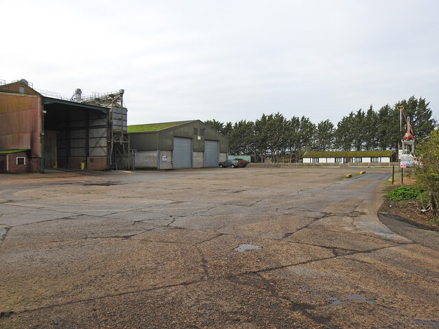
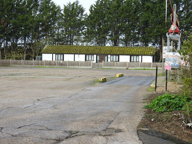
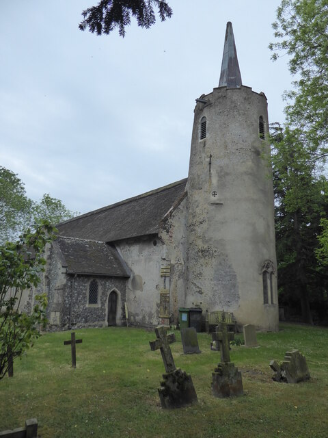
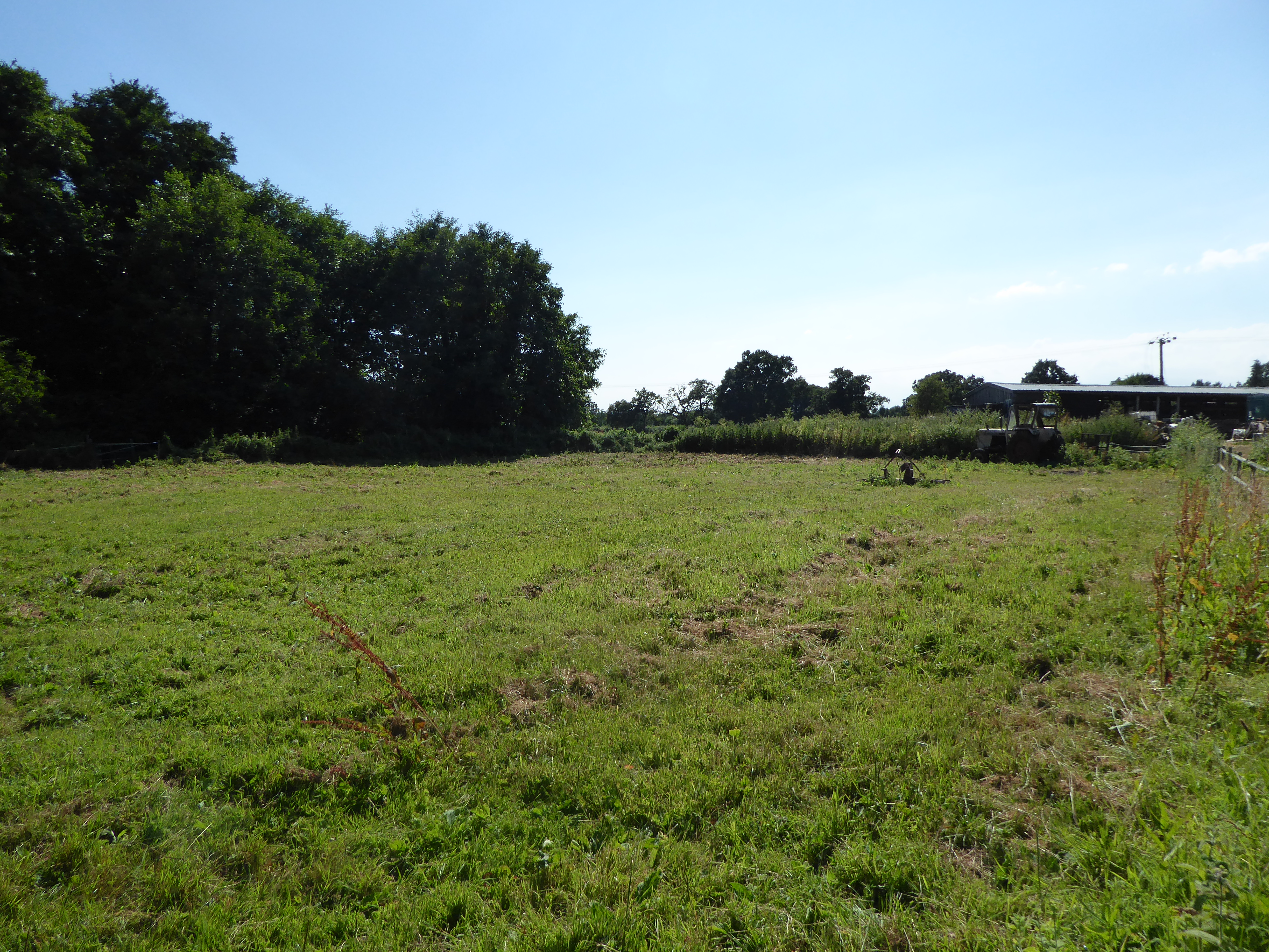
West End Images

Images are sourced within 2km of 52.476673/1.511218 or Grid Reference TM3892. Thanks to Geograph Open Source API. All images are credited.

River Waveney
River Waveney
The Wherry Inn
The Wherry Inn
River Waveney
River Waveney
The Locks Inn
The Locks Inn
A143 east near turning for Kirby Cane
A143 east approaching junction with A146
The former railway line from the crossing Looking east from the Geldeston crossing.
The former railway line from the crossing
Looking east from the Geldeston crossing.
A single parapet of a former bridge across a tributary The rest of the bridge has been dismantled to benefit the passage of river-craft
A single parapet of a former bridge across a tributary
The rest of the bridge has been dismantled to benefit the passage of river-craft
The former station house at Geldeston The building is a private residence and has an extension on the west end, but retains the Italianate style of the Waveney Valley Railway buildings.
The former Goods Shed can be seen in the background which has been given a pent roof extension on its east end.
The station was 16½ miles from Tivetshall 2½ miles from Beccles. The platform was 110 yards long. A 200 yard long siding fed into the goods shed which contained a 1 ton crane for unloading and loading. The signal box stood to the north of the track by the crossing gates and a crossing keepers hut on the south side of the single track. The station was closed to all traffic in 1915 as a war economy measure but reopened in 1919. Passenger services were withdrawn in July 1954 but freight services continued until July 1964.
The former station house at Geldeston
The building is a private residence and has an extension on the west end, but retains the Italianate style of the Waveney Valley Railway buildings. The former Goods Shed can be seen in the background which has been given a pent roof extension on its east end. The station was 16½ miles from Tivetshall 2½ miles from Beccles. The platform was 110 yards long. A 200 yard long siding fed into the goods shed which contained a 1 ton crane for unloading and loading. The signal box stood to the north of the track by the crossing gates and a crossing keepers hut on the south side of the single track. The station was closed to all traffic in 1915 as a war economy measure but reopened in 1919. Passenger services were withdrawn in July 1954 but freight services continued until July 1964.
The former Goods Shed at Geldeston station A pent roof extension has been added to this end of the building. A railway line once ran through the building which had a large sliding door each end. Inside the goods were stored on a wooden deck at the same height as the floor of the wagons and a 1 ton crane facilitated unloading and loading the heavier items. A wire netting cage protected the sacks of grain and other perishable goods from vermin.
The former Goods Shed at Geldeston station
A pent roof extension has been added to this end of the building. A railway line once ran through the building which had a large sliding door each end. Inside the goods were stored on a wooden deck at the same height as the floor of the wagons and a 1 ton crane facilitated unloading and loading the heavier items. A wire netting cage protected the sacks of grain and other perishable goods from vermin.
Gate keeper's cottage on Braces Lane crossing The crossing, designated the number 84, is now a private dwelling house. The track crossed the road this side of the house. A small extension has been added to the east end but the building is much as it was in a much simplified Italianate style.
Gate keeper's cottage on Braces Lane crossing
The crossing, designated the number 84, is now a private dwelling house. The track crossed the road this side of the house. A small extension has been added to the east end but the building is much as it was in a much simplified Italianate style.
Fence posts delineate the course of the former railway line Beccles is a station on the Ipswich to Lowestoft line and had a branch line to Great Yarmouth which opened in 1859 and another to Norwich both via the Haddiscoe Junction.
At the Tivetshall end was the junction between the Waveney Valley Railway and the Eastern Union Railway, enabling passengers and freight to travel all over the country.
Fence posts delineate the course of the former railway line
Beccles is a station on the Ipswich to Lowestoft line and had a branch line to Great Yarmouth which opened in 1859 and another to Norwich both via the Haddiscoe Junction. At the Tivetshall end was the junction between the Waveney Valley Railway and the Eastern Union Railway, enabling passengers and freight to travel all over the country.
Church Road bridge from the east The bridge is designated the number 1197 and carries Church Road Ellingham over the line. The bridge is constructed entirely from red brick apart from concrete coping on the parapets. Beneath the bridge are six blind relieving arches, three on each side, these are normally quite shallow and were used to reduce the weight of and to save on material costs rather than create a shelter from passing trains.
To the right of the bridge is a hexagonal WW2 pillbox placed to protect the line and prevent its use by the enemy if an invasion were to take place. <a title="https://www.geograph.org.uk/photo/4431825" href="https://www.geograph.org.uk/photo/4431825">Link</a>
Church Road bridge from the east
The bridge is designated the number 1197 and carries Church Road Ellingham over the line. The bridge is constructed entirely from red brick apart from concrete coping on the parapets. Beneath the bridge are six blind relieving arches, three on each side, these are normally quite shallow and were used to reduce the weight of and to save on material costs rather than create a shelter from passing trains. To the right of the bridge is a hexagonal WW2 pillbox placed to protect the line and prevent its use by the enemy if an invasion were to take place. Link
Church Road bridge, Ellingham The pillbox can be seen left of the bridge
Church Road bridge, Ellingham
The pillbox can be seen left of the bridge
The former USAAF fuel depot at Ellingham The fuel depot was administered by the USAAF for the various airfields in the vicinity, primarily Bungay (aka Flixton), Holton, Hardwick, Thorpe Abbotts and Eye.
The depot was fed by rail with two additional loop sidings to the north of the depot now under woodland but still outlined on the current OS maps. It was during six months between 1943 and 1944 that there were 148 additional trains delivering aviation fuel to the depot. The depot consisted of four 12 metre diameter, cylindrical tanks with associated buildings and four pumps, filling points for the bowsers working out of the depot. 
Dispatch riders delivered requisitions, and the fuel delivered the same day.
The fuel was unloaded from the railway wagons and delivered into the depot via an underground pipe beneath the road. 
Its use continued for a while after the war until the late 1960s. By 1988 it had been demolished and a grain store erected on the site. Three of the original buildings remain extant including an above ground air raid shelter across the road from the depot.
The former USAAF fuel depot at Ellingham
The fuel depot was administered by the USAAF for the various airfields in the vicinity, primarily Bungay (aka Flixton), Holton, Hardwick, Thorpe Abbotts and Eye. The depot was fed by rail with two additional loop sidings to the north of the depot now under woodland but still outlined on the current OS maps. It was during six months between 1943 and 1944 that there were 148 additional trains delivering aviation fuel to the depot. The depot consisted of four 12 metre diameter, cylindrical tanks with associated buildings and four pumps, filling points for the bowsers working out of the depot. Dispatch riders delivered requisitions, and the fuel delivered the same day. The fuel was unloaded from the railway wagons and delivered into the depot via an underground pipe beneath the road. Its use continued for a while after the war until the late 1960s. By 1988 it had been demolished and a grain store erected on the site. Three of the original buildings remain extant including an above ground air raid shelter across the road from the depot.
Offices at the former USAAF fuel depot at Ellingham The fuel depot was administered by the USAAF for the various airfields in the vicinity, primarily Bungay (aka Flixton), Holton, Hardwick, Thorpe Abbotts and Eye.
The depot was fed by rail with two additional loop sidings to the north of the depot now under woodland but still outlined on the current OS maps. It was during six months between 1943 and 1944 that there were 148 additional trains delivering aviation fuel to the depot. The depot consisted of four 12 metre diameter, cylindrical tanks with associated buildings and four pumps, filling points for the bowsers working out of the depot. 
Dispatch riders delivered requisitions, and the fuel delivered the same day.
The fuel was unloaded from the railway wagons and delivered into the depot via an underground pipe beneath the road. 
Its use continued for a while after the war until the late 1960s. By 1988 it had been demolished and a grain store erected on the site. Three of the original buildings remain extant including an above ground air raid shelter across the road from the depot.
Offices at the former USAAF fuel depot at Ellingham
The fuel depot was administered by the USAAF for the various airfields in the vicinity, primarily Bungay (aka Flixton), Holton, Hardwick, Thorpe Abbotts and Eye. The depot was fed by rail with two additional loop sidings to the north of the depot now under woodland but still outlined on the current OS maps. It was during six months between 1943 and 1944 that there were 148 additional trains delivering aviation fuel to the depot. The depot consisted of four 12 metre diameter, cylindrical tanks with associated buildings and four pumps, filling points for the bowsers working out of the depot. Dispatch riders delivered requisitions, and the fuel delivered the same day. The fuel was unloaded from the railway wagons and delivered into the depot via an underground pipe beneath the road. Its use continued for a while after the war until the late 1960s. By 1988 it had been demolished and a grain store erected on the site. Three of the original buildings remain extant including an above ground air raid shelter across the road from the depot.
Site of the former level crossing #86 at Geldeston The five bar gate marks the line of the former railway. The signal box stood on this corner where the hedge is in the foreground.
Site of the former level crossing #86 at Geldeston
The five bar gate marks the line of the former railway. The signal box stood on this corner where the hedge is in the foreground.
Stockton, St Michael & All Angels
Show me another place!

West End is located at Grid Ref: TM3892 (Lat: 52.476673, Lng: 1.511218)

Administrative County: Norfolk

District: South Norfolk

Police Authority: Norfolk

What 3 Words

///gathering.outlooks.trout. Near Beccles, Suffolk

Nearby Locations

Boon's Plantation West End

Related Wikis

Geldeston railway station

Geldeston (also Geldeston Halt) was a station on the Waveney Valley Line serving the village of Geldeston, Norfolk. It was operational for passenger services...

Leet Hill, Kirby Cane

Leet Hill, Kirby Cane is a 6.5-hectare (16-acre) geological Site of Special Scientific Interest in Kirby Cane in Norfolk. It is a Geological Conservation...

Geldeston

Geldeston is a village and civil parish in the English county of Norfolk. The village is located 2.5 miles (4.0 km) north-west of Beccles and 14 miles...

Geldeston Meadows

Geldeston Meadows is a 14-hectare (35-acre) biological Site of Special Scientific Interest near Geldeston in Norfolk. It is part of the Broadland Ramsar...

Nearby Amenities

Located within 500m of 52.476673,1.511218
West End, adj
Naptan AtcoCode: 2900G055
Naptan Bearing: NW
Naptan BusStopType: CUS
Naptan CommonName: West End
Naptan Indicator: adj
Naptan Landmark: West End
Naptan Locality: Geldeston
Naptan NaptanCode: nfoatajm
Naptan ShortCommonName: West End
Naptan Street: Yarmouth Road
Naptan Verified: no
Source: naptan_import
Lat/Long: 52.475954/1.5125273
West End, opp
Naptan AtcoCode: 2900G056
Naptan Bearing: SE
Naptan BusStopType: CUS
Naptan CommonName: West End
Naptan Indicator: opp
Naptan Landmark: West End
Naptan Locality: Geldeston
Naptan NaptanCode: nfoatajp
Naptan ShortCommonName: West End
Naptan Street: Yarmouth Road
Naptan Verified: no
Source: naptan_import
Lat/Long: 52.4758643/1.5125202
Crossing
Crossing: unmarked
Crossing Island: no
Kerb: raised
Tactile Paving: yes
Lat/Long: 52.4728599/1.5144709
Waste Basket
Colour: green
Waste: trash
Lat/Long: 52.4730539/1.5144885
Bench
Backrest: yes
Material: wood
Seats: 3
Lat/Long: 52.4730433/1.5145314
Give Way
Lat/Long: 52.4728983/1.5146154
Give Way
Lat/Long: 52.4729367/1.5145408
Waste Basket
Waste: dog_excrement
Lat/Long: 52.4737374/1.5126686
The data included in this document is from www.openstreetmap.org. The data is made available under ODbL.

Have you been to West End?

Leave your review of West End below (or comments, questions and feedback).