Waun Baglam

Settlement in Carmarthenshire

Wales

Waun Baglam

Trig pillar on Pembrey Mountain No marked right of way aywhere near this one, so a shot from the adjacent road will have to suffice.
Trig pillar on Pembrey Mountain Credit: Nigel Davies

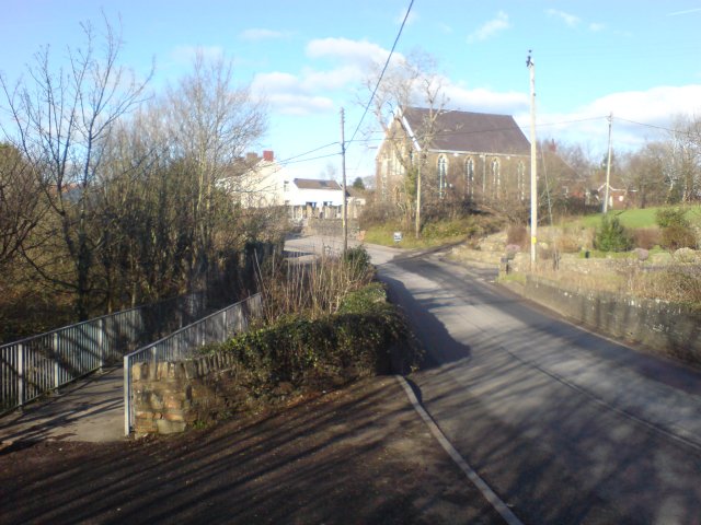
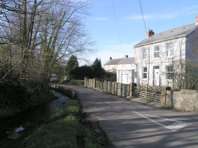
Waun Baglam is a small village located in Carmarthenshire, Wales. It is situated near the town of Llanelli and is surrounded by picturesque countryside. The village is known for its peaceful and quaint atmosphere, making it a popular destination for those looking to escape the hustle and bustle of city life.

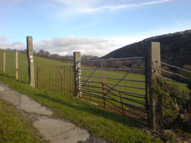
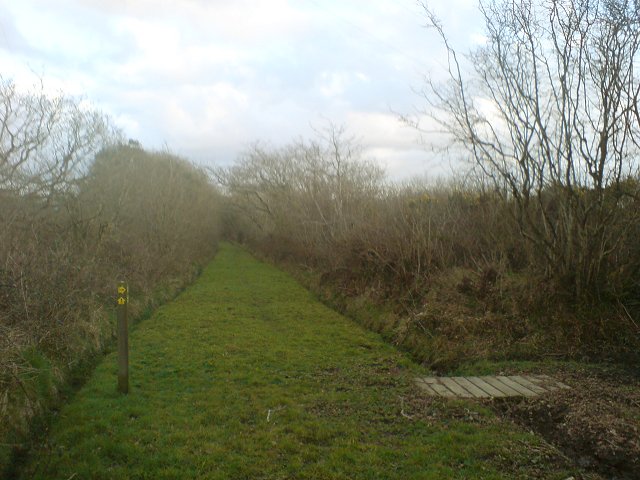
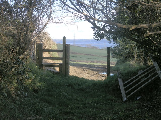
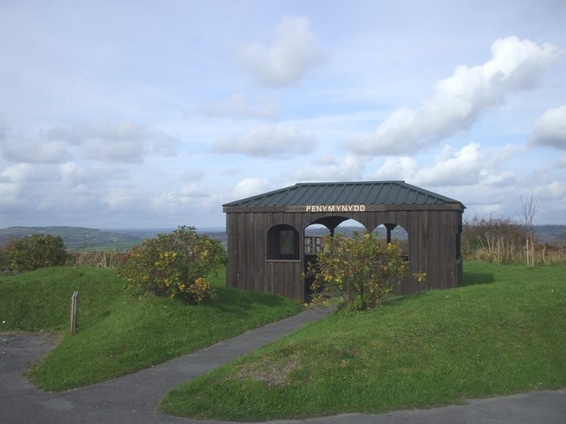
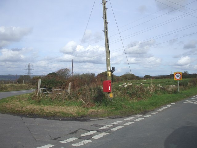
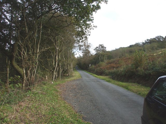
Waun Baglam is home to a close-knit community of residents who take pride in their village and its surroundings. The village has a few local amenities, including a small shop and a pub, providing the essentials for its residents. The surrounding area offers plenty of opportunities for outdoor activities, such as hiking, cycling, and birdwatching.

The architecture in Waun Baglam is typically traditional, with many of the buildings dating back to the 19th century. The village is also known for its beautiful gardens and green spaces, adding to its charm and appeal. Overall, Waun Baglam is a tranquil and idyllic village, perfect for those seeking a peaceful retreat in the heart of the Welsh countryside.

If you have any feedback on the listing, please let us know in the comments section below.
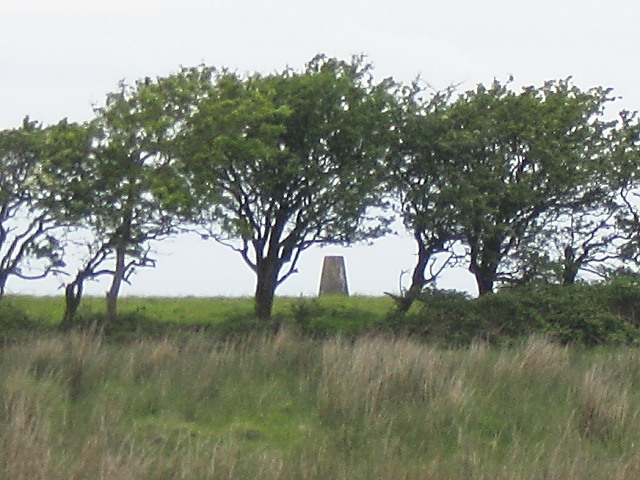
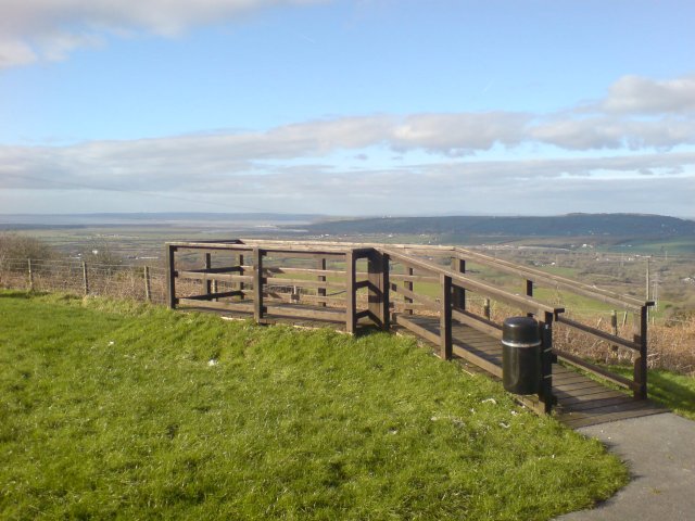
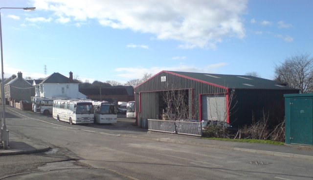
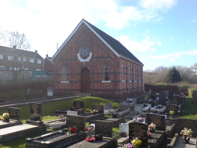
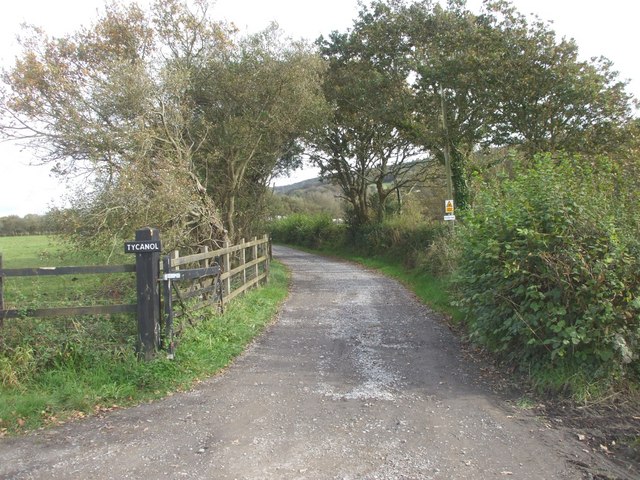
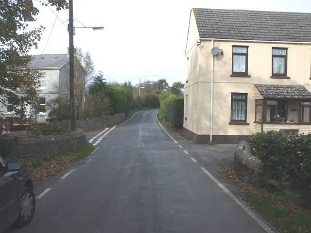
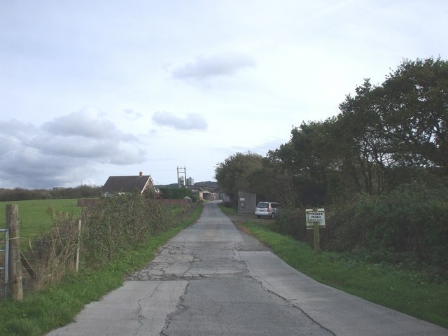
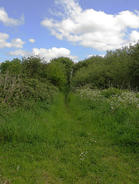
Waun Baglam Images

Images are sourced within 2km of 51.708588/-4.2563357 or Grid Reference SN4403. Thanks to Geograph Open Source API. All images are credited.

Trig pillar on Pembrey Mountain No marked right of way aywhere near this one, so a shot from the adjacent road will have to suffice.
Trig pillar on Pembrey Mountain
No marked right of way aywhere near this one, so a shot from the adjacent road will have to suffice.
Viewpoint on Pembrey Mountain Not marked on the 50k map, there is a viewpoint and picnic area just to the east of a public footpath on the main road along the mountain. There are benches, tables, barbecue holders and a shelter. 
Behind the brick barbecue holder in the background on the left is a raised ramp with railings around it. This is the viewpoint that looks from WNW to NE affording a view of the Gwendraeth Fawr valley all the way down to Kidwelly and out to sea.
Viewpoint on Pembrey Mountain
Not marked on the 50k map, there is a viewpoint and picnic area just to the east of a public footpath on the main road along the mountain. There are benches, tables, barbecue holders and a shelter. Behind the brick barbecue holder in the background on the left is a raised ramp with railings around it. This is the viewpoint that looks from WNW to NE affording a view of the Gwendraeth Fawr valley all the way down to Kidwelly and out to sea.
Viewing area on Penbrey Mountain A viewing area has been created with some parking space to enjoy the view from the hillside.  On the day the picture was taken, RAF aircraft could be seen (and heard) training in the distance.
Viewing area on Penbrey Mountain
A viewing area has been created with some parking space to enjoy the view from the hillside. On the day the picture was taken, RAF aircraft could be seen (and heard) training in the distance.
Gwynne Price Coaches depot This is the depot and headquarters of Gwynne Price coaches in Trimsaran.  A small stream goes under a bridge in the foreground.
Gwynne Price Coaches depot
This is the depot and headquarters of Gwynne Price coaches in Trimsaran. A small stream goes under a bridge in the foreground.
Noddfa Chapel, Trimsaran One of the many non-conformist chapels that are found in this part of the country.
Noddfa Chapel, Trimsaran
One of the many non-conformist chapels that are found in this part of the country.
Bridge over the river Morlais A small road bridge and even smaller foot bridge span the river Morlais in Trimsaran.  A chapel can be seen in the distance on the road curve.
Bridge over the river Morlais
A small road bridge and even smaller foot bridge span the river Morlais in Trimsaran. A chapel can be seen in the distance on the road curve.
A kissing gate on St. Illtyd's Walk Part of the St. Illtyd's walk footpath, this gate takes the walker into the nearby field.  Nearby is a small chapel.
A kissing gate on St. Illtyd's Walk
Part of the St. Illtyd's walk footpath, this gate takes the walker into the nearby field. Nearby is a small chapel.
Road junction near a stream This narrow country road followed a stream.  Ordnance Survey maps implied that there is a public telephone box nearby, but I didn't see one.
Road junction near a stream
This narrow country road followed a stream. Ordnance Survey maps implied that there is a public telephone box nearby, but I didn't see one.
Public footpath above Burry Port The hillside above Burry Port is criss-crossed by a network of trackways.  Originally, all would have been of similar status but over the years, some developed into tarmac covered roads, some into farm tracks and others, as can be seen here into footpaths.
Public footpath above Burry Port
The hillside above Burry Port is criss-crossed by a network of trackways. Originally, all would have been of similar status but over the years, some developed into tarmac covered roads, some into farm tracks and others, as can be seen here into footpaths.
Stile with a view At the seeming end of an ancient thoroughfare, this stile leads into a field where the old route can be followed through the field to the coast beyond.
Stile with a view
At the seeming end of an ancient thoroughfare, this stile leads into a field where the old route can be followed through the field to the coast beyond.
Penymynydd viewing area on Mynydd  Penbre
Penymynydd viewing area on Mynydd Penbre
Road junction, mailbox and sheep
Passing place on the road through Waun Baglan Wood
Wern Farm
Wern Farm
Driveway to Ty Canol
Bridge on the B4137
Bridge on the B4137
Farm entrance
Farm entrance
Bridge near Llandyry
Show me another place!

Waun Baglam is located at Grid Ref: SN4403 (Lat: 51.708588, Lng: -4.2563357)

Unitary Authority: Carmarthenshire

Police Authority: Dyfed Powys

What 3 Words

///success.examples.series. Near Trimsaran, Carmarthenshire

Nearby Locations

Mynydd-Pen-bre Waun Baglam

Related Wikis

Trimsaran

Trimsaran is a community and former mining village which lies on the B4308 between Llanelli and Kidwelly, in the Welsh county of Carmarthenshire. Trimsaran...

Burry Port

Burry Port (Welsh: Porth Tywyn) is a port town and community in Carmarthenshire, Wales, on the Loughor estuary (Moryd Llwchwr), to the west of Llanelli...

Pinged railway station

Pinged Halt railway station was opened in 1909 but was renamed Pinged railway station in 1922. It continued to serve the inhabitants of the Pinged area...

Gwernydd Penbre

Gwernydd Penbre is a Site of Special Scientific Interest (SSSI) in Carmarthenshire, Wales. It is also spelled by DEFRA and Natural Resources Wales as Gwernydd...

Nearby Amenities

Located within 500m of 51.708588,-4.2563357
Power: tower
Lat/Long: 51.7085648/-4.250051
Power: tower
Lat/Long: 51.7112599/-4.2521846
Direction: 145
Generator Method: photovoltaic
Generator Output Electricity: yes
Generator Solar Modules: 5
Generator Source: solar
Generator Type: solar_photovoltaic_panel
Location: roof
Power: generator
Lat/Long: 51.7097504/-4.2576283
Direction: 235
Generator Method: photovoltaic
Generator Output Electricity: yes
Generator Solar Modules: 5
Generator Source: solar
Generator Type: solar_photovoltaic_panel
Location: roof
Power: generator
Lat/Long: 51.7097689/-4.2575575
Direction: 235
Generator Method: photovoltaic
Generator Output Electricity: yes
Generator Solar Modules: 5
Generator Source: solar
Generator Type: solar_photovoltaic_panel
Location: roof
Power: generator
Lat/Long: 51.7098088/-4.2576031
The data included in this document is from www.openstreetmap.org. The data is made available under ODbL.

Have you been to Waun Baglam?

Leave your review of Waun Baglam below (or comments, questions and feedback).