Watt's Cross
Settlement in Kent Tonbridge and Malling
England
Watt's Cross
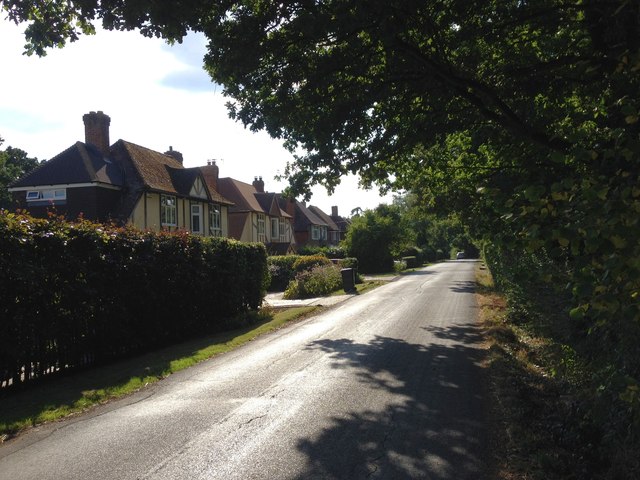
Watt's Cross is a small village located in the county of Kent, England. Situated in the southeastern part of the county, it lies approximately 6 miles to the south of the historic city of Canterbury and about 2 miles to the west of the coastal town of Whitstable.
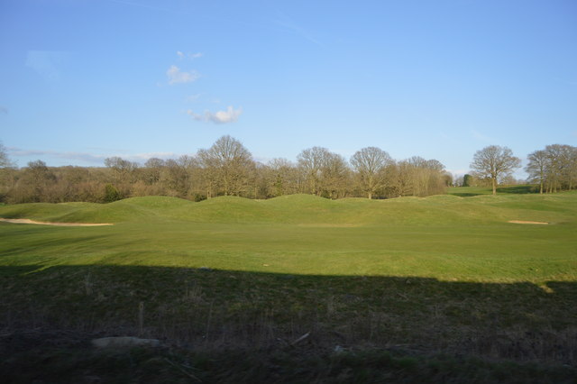
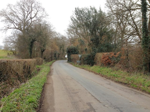
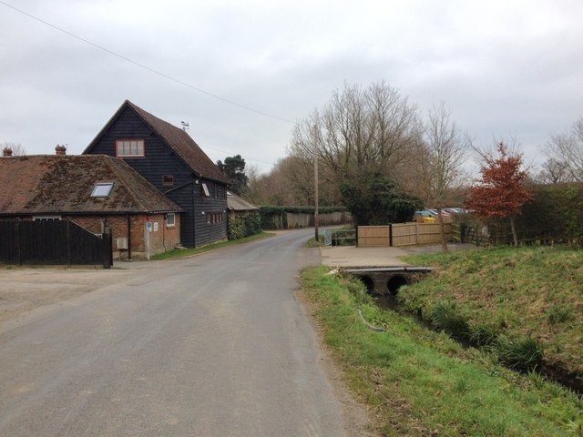
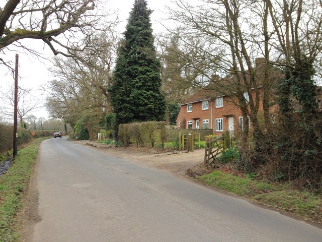
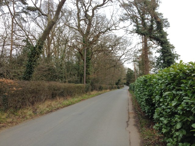
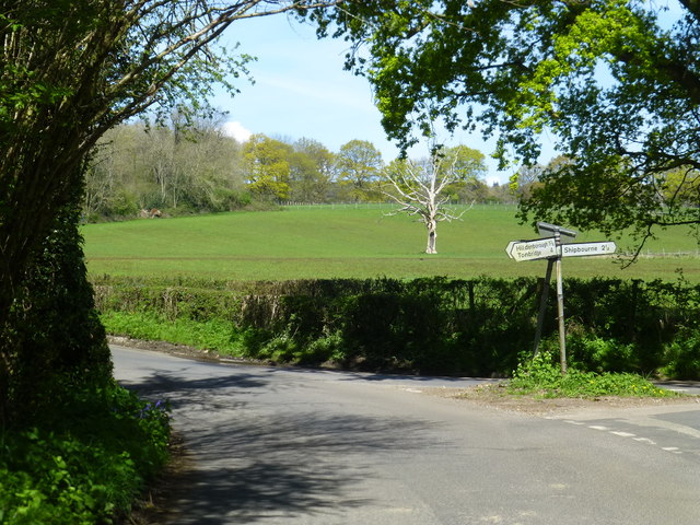
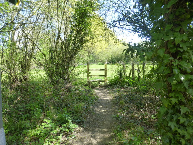
The village has a population of around 500 residents and is known for its picturesque countryside and charming rural atmosphere. It is surrounded by rolling hills, lush fields, and quaint cottages, creating a tranquil and idyllic setting.
Watt's Cross is primarily an agricultural community, with farming being the main source of livelihood for many of its inhabitants. The fertile soil in the area allows for the cultivation of a variety of crops, including wheat, barley, and vegetables.
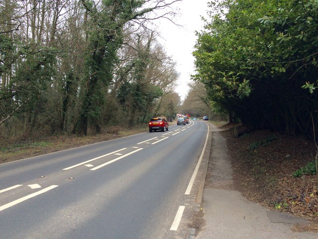
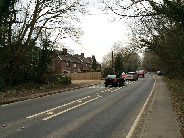
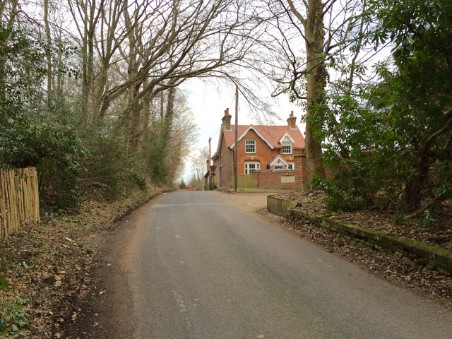
The village itself is relatively small, consisting of a few residential streets, a local pub, and a village hall. There are limited amenities available within Watt's Cross, with residents often relying on nearby towns for shopping, healthcare, and other services.
Despite its small size, the village has a strong sense of community and a friendly atmosphere. Local events and gatherings, such as fairs and festivals, are organized throughout the year, bringing residents together and fostering a sense of belonging.
Overall, Watt's Cross offers a peaceful and charming place to live, away from the hustle and bustle of larger towns and cities, while still providing easy access to nearby amenities and attractions.
If you have any feedback on the listing, please let us know in the comments section below.
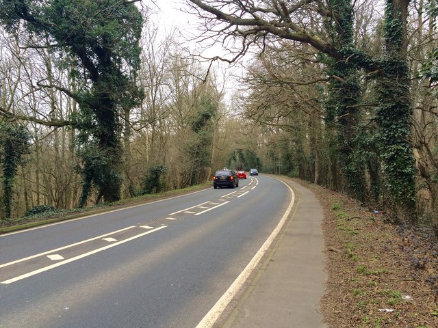
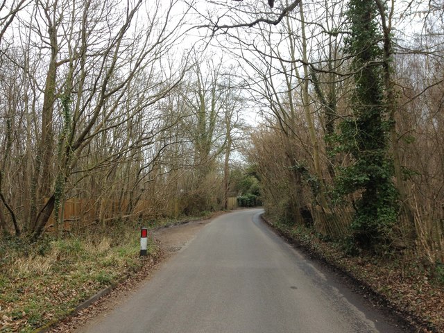
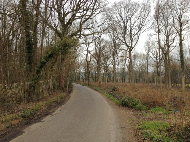
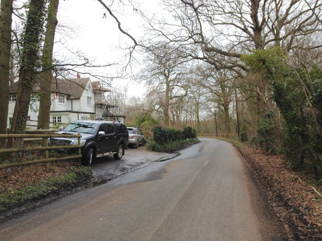
Watt's Cross Images
Images are sourced within 2km of 51.222473/0.22936479 or Grid Reference TQ5549. Thanks to Geograph Open Source API. All images are credited.
Watt's Cross is located at Grid Ref: TQ5549 (Lat: 51.222473, Lng: 0.22936479)
Administrative County: Kent
District: Tonbridge and Malling
Police Authority: Kent
What 3 Words
///poet.soil.snows. Near Tonbridge, Kent
Nearby Locations
Related Wikis
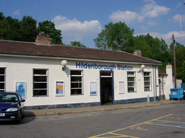
Hildenborough railway station
Hildenborough railway station is on the South Eastern Main Line in England, serving Hildenborough, Kent, and the surrounding villages. It is 27 miles 2...

Sackville School, Hildenborough
Sackville School is a small profit-making coeducational independent school located in the village of Hildenborough, in Kent, England. == History == Sackville...

Princess Christian's Farm
Princess Christian's Farm is an educational facility geared towards people with learning disabilities. The farm is run by a partnership with Kent County...
Hildenborough
Hildenborough is a village and rural parish in the borough of Tonbridge and Malling in Kent, England. It is located 2 miles (3.2 km) north-west of Tonbridge...
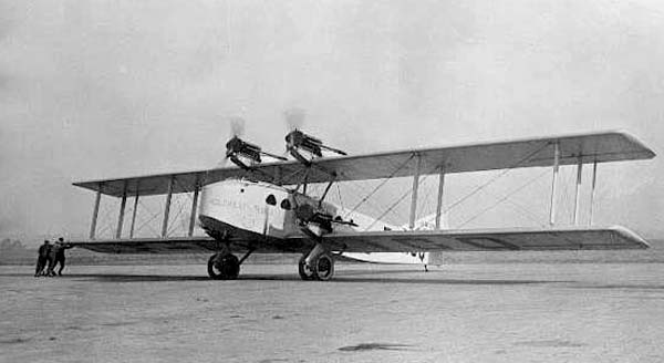
October 1926 Air Union Blériot 155 crash
The October 1926 Air Union Blériot 155 crash happened on 2 October 1926 at Leigh, Kent when Blériot 155 F-AICQ caught fire in mid-air and crashed while...

St Mary's Church, Leigh
St Mary's Church is a parish church in Leigh, Kent. The current church was originally completed in the 13th century, although a church is believed to have...

Oast Theatre, Tonbridge
The Oast Theatre is situated on the outskirts of Tonbridge, Kent. It is a small theatre that is based in an old oast house. It is home to the Tonbridge...

Leigh, Kent
Leigh , historically spelled Lyghe, is a village and a civil parish located in the Sevenoaks district of Kent, England. It is located six miles (10 km...
Related Videos

Walking across Southern England | Day 6a - Sevenoaks to Oxted
Links for today's video: The accompanying blog - https://280miles.blogspot.com Drone Assist from Altitude Angel (I believe this is ...

Community Bushcraft event in Kent, UK
Community Bushcraft weekend event in Kent UK.

My First Solo Camping Trip At An Adults Only Campsite! Morley’s Farm Sevenoaks On Pitchup
My first time camping on my own at Morley's Farm Campsite near Sevenoaks. You can book direct, details at ...

S1E13 - VW Camping - VOLKSWEALD, Barry gets punished, Betty Boo Wheels
A massive cockup by Barry from Cork, we visit or not the VOLKSWEALD show and Mark gets some lunch. You can always find us ...
Nearby Amenities
Located within 500m of 51.222473,0.22936479Have you been to Watt's Cross?
Leave your review of Watt's Cross below (or comments, questions and feedback).