Mynydd-Pen-bre
Settlement in Carmarthenshire
Wales
Mynydd-Pen-bre
Mynydd-Pen-bre is a small village located in Carmarthenshire, Wales. It is situated on the northern edge of the Gwendraeth Valley, near the town of Kidwelly. The village is surrounded by rolling hills and farmland, offering picturesque views of the countryside.
The name Mynydd-Pen-bre translates to "head of the hill" in Welsh, reflecting its elevated position in the landscape. The village is known for its quaint rural charm and friendly community atmosphere.
Mynydd-Pen-bre is home to a number of historic buildings, including St. Michael's Church, which dates back to the 12th century. The village also has a primary school, post office, and several small shops and businesses.
The surrounding area offers plenty of opportunities for outdoor activities, such as hiking, cycling, and birdwatching. The nearby Pembrey Country Park is a popular destination for visitors, with its sandy beach, woodland trails, and variety of recreational facilities.
Overall, Mynydd-Pen-bre is a peaceful and idyllic village, perfect for those looking to escape the hustle and bustle of city life and enjoy the beauty of the Welsh countryside.
If you have any feedback on the listing, please let us know in the comments section below.
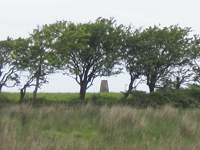
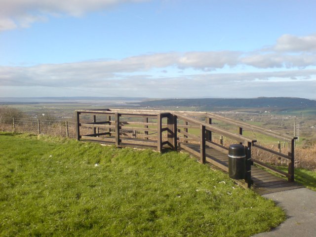
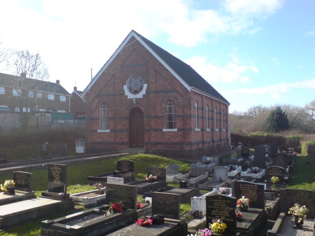
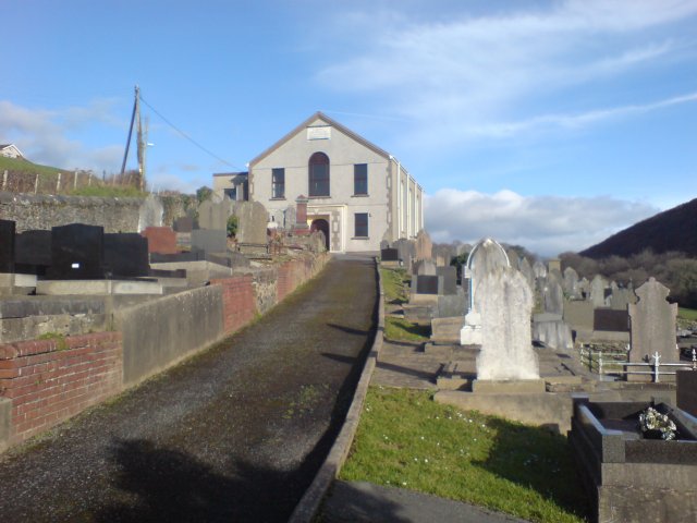
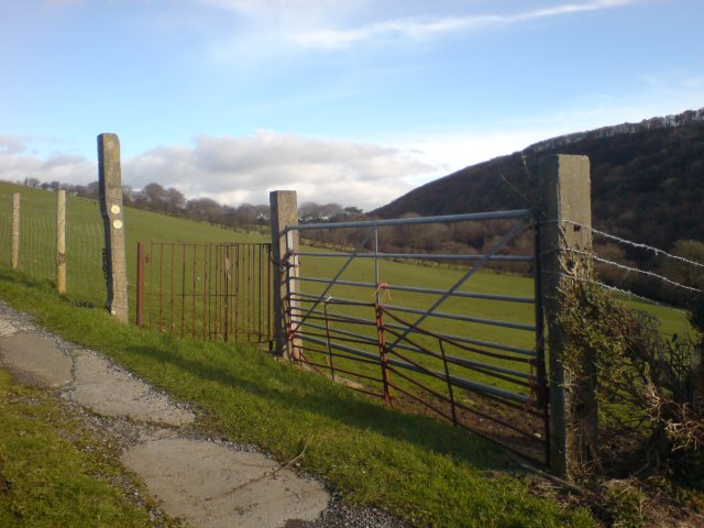
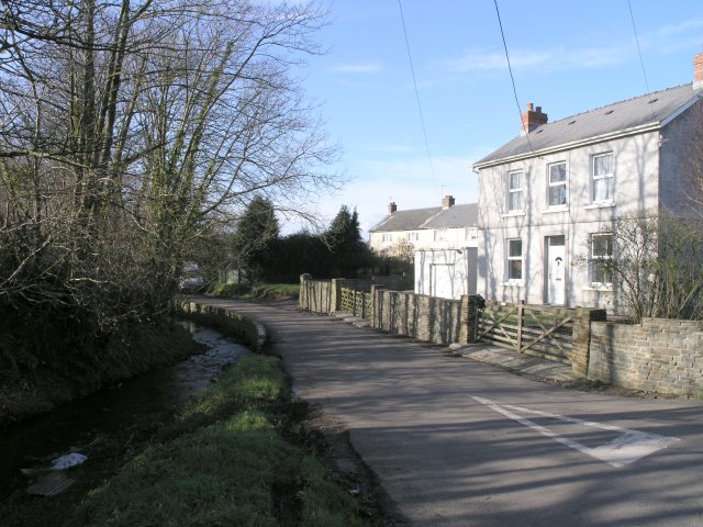
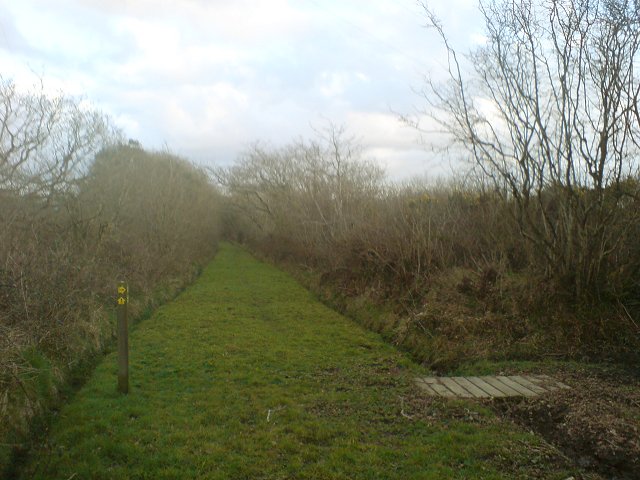
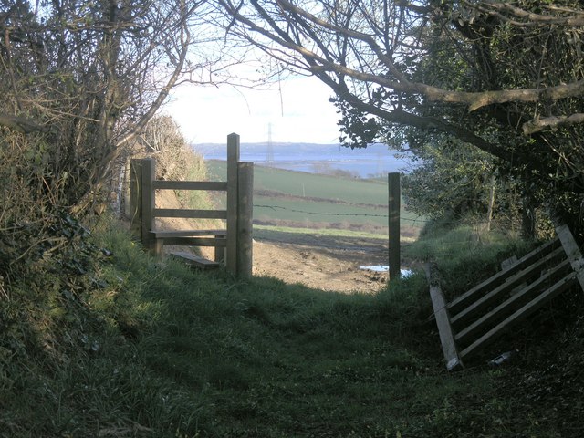
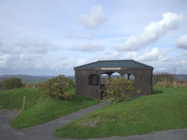
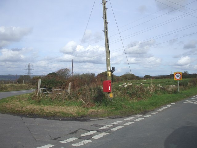
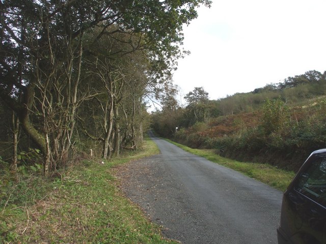
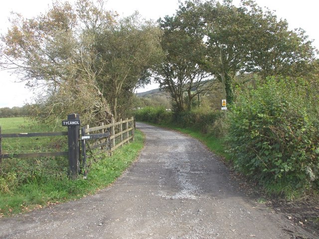
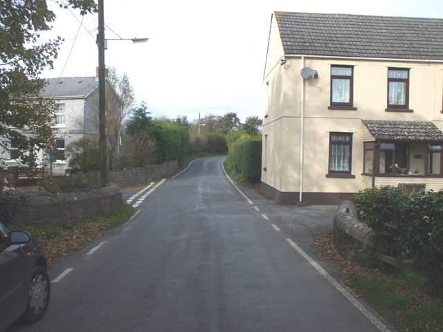
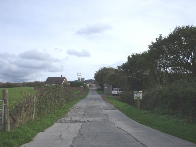
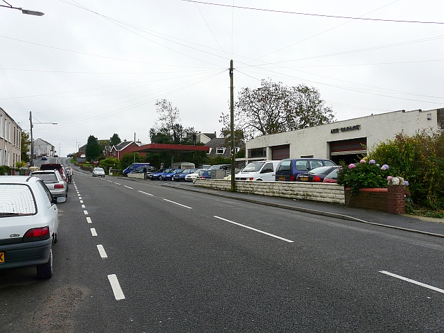
Mynydd-Pen-bre Images
Images are sourced within 2km of 51.703995/-4.2589873 or Grid Reference SN4403. Thanks to Geograph Open Source API. All images are credited.


Mynydd-Pen-bre is located at Grid Ref: SN4403 (Lat: 51.703995, Lng: -4.2589873)
Unitary Authority: Carmarthenshire
Police Authority: Dyfed Powys
What 3 Words
///shipyards.nights.reissued. Near Trimsaran, Carmarthenshire
Nearby Locations
Related Wikis

Burry Port
Burry Port (Welsh: Porth Tywyn) is a port town and community in Carmarthenshire, Wales, on the Loughor estuary (Moryd Llwchwr), to the west of Llanelli...

Court Farm, Pembrey
Court Farm in Pembrey, Carmarthenshire, Wales, is an ancient and formerly imposing manor house which is now an overgrown ruin, but structurally sound,...
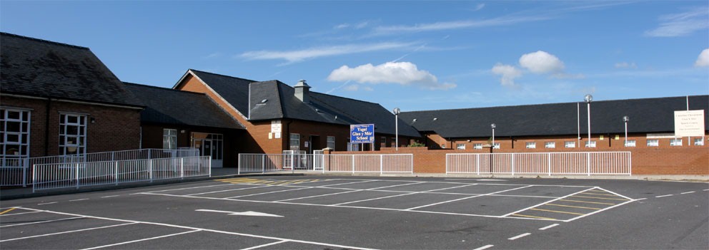
Glan-y-Mor Comprehensive School
Glan-y-Mor Comprehensive School (English Seaside Comprehensive School) is a mixed, community comprehensive school of around 600 pupils, catering for all...

Gwernydd Penbre
Gwernydd Penbre is a Site of Special Scientific Interest (SSSI) in Carmarthenshire, Wales. It is also spelled by DEFRA and Natural Resources Wales as Gwernydd...
Nearby Amenities
Located within 500m of 51.703995,-4.2589873Have you been to Mynydd-Pen-bre?
Leave your review of Mynydd-Pen-bre below (or comments, questions and feedback).