Mearbeck
Settlement in Yorkshire Craven
England
Mearbeck
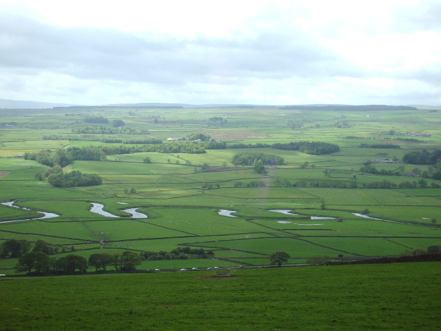
Mearbeck is a small village located in the Craven district of North Yorkshire, England. Situated in the picturesque Yorkshire Dales, it lies approximately 5 miles northeast of Settle and 15 miles southeast of Skipton. The village is perched on the banks of the Mearbeck River, which adds to its scenic beauty.
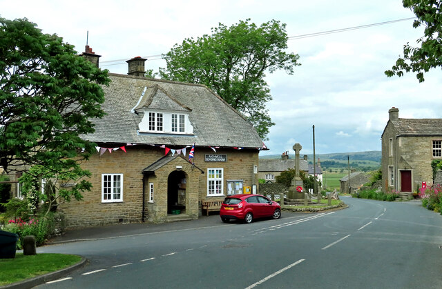
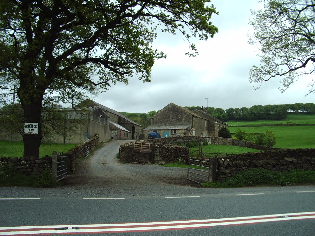
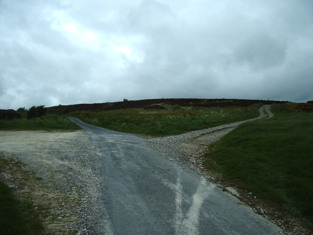
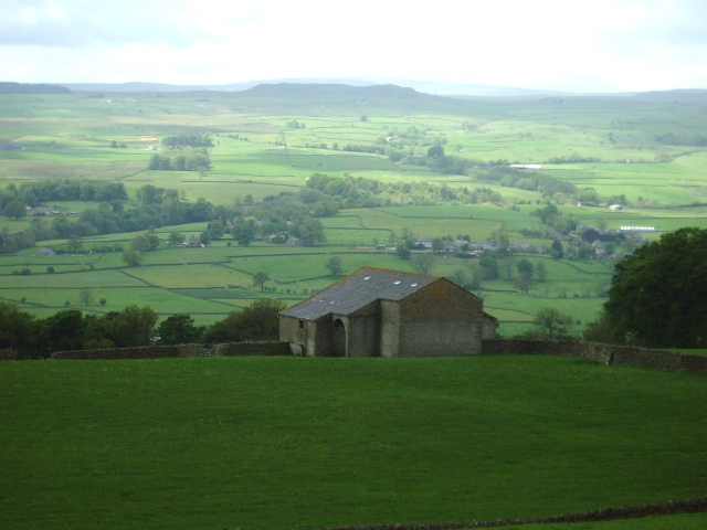
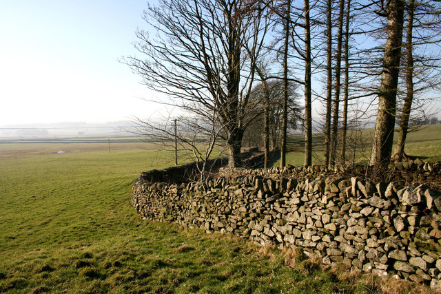
Mearbeck is known for its charming stone-built houses, typically found in traditional Yorkshire architecture. The village exudes a tranquil atmosphere, making it an ideal destination for those seeking a peaceful retreat or a base to explore the surrounding countryside. The landscape surrounding Mearbeck is characterized by rolling hills, lush green fields, and quaint farms, offering countless opportunities for hiking, cycling, and nature walks.
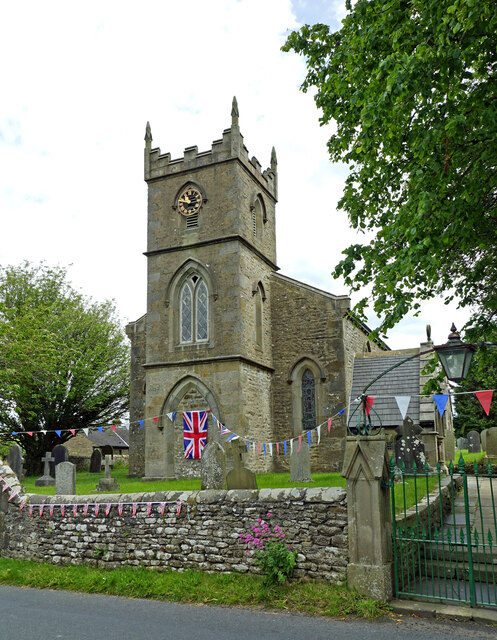
Although small in size, Mearbeck boasts a strong sense of community. The village features a local pub, where residents and visitors can gather for a drink or a hearty meal, and an ancient parish church that dates back to the 12th century. The church, St. Mary's, is a prominent landmark in the area and attracts visitors with its historic architecture and serene surroundings.
The village is well-positioned for exploring the wider Yorkshire Dales National Park, with popular attractions such as Malham Cove, Gordale Scar, and Ingleborough Cave within easy reach. Settle, a nearby town, offers additional amenities, including shops, cafes, and a railway station, making it convenient for residents and tourists alike.
In summary, Mearbeck is a quaint and picturesque village nestled in the heart of the Yorkshire Dales, offering a peaceful escape and access to the beautiful natural surroundings of the region.
If you have any feedback on the listing, please let us know in the comments section below.
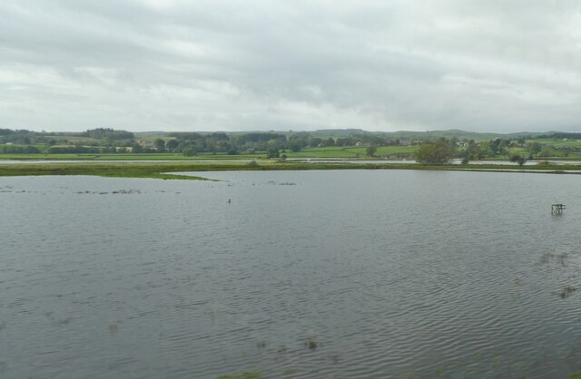
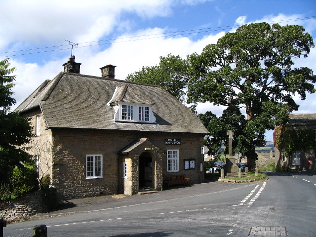
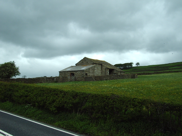
Mearbeck Images
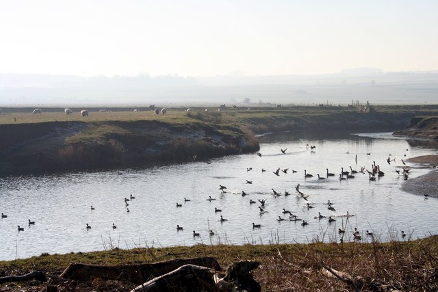
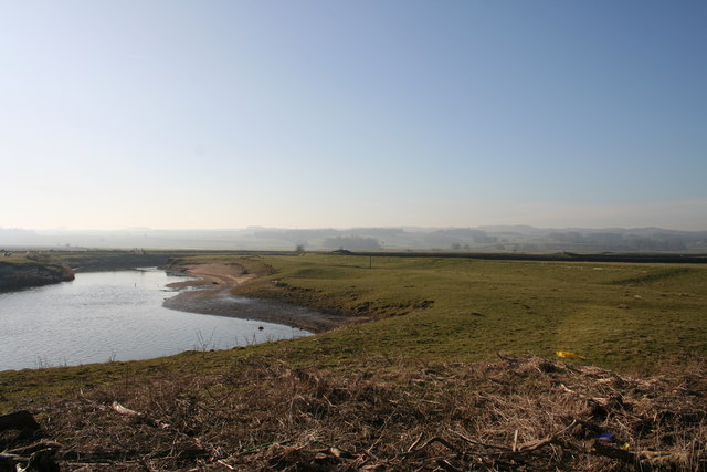
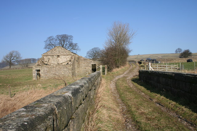
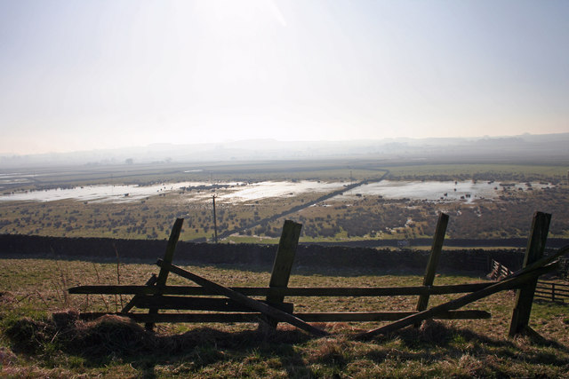
Images are sourced within 2km of 54.040871/-2.28018 or Grid Reference SD8160. Thanks to Geograph Open Source API. All images are credited.

Mearbeck is located at Grid Ref: SD8160 (Lat: 54.040871, Lng: -2.28018)
Division: West Riding
Administrative County: North Yorkshire
District: Craven
Police Authority: North Yorkshire
What 3 Words
///thinnest.crab.fills. Near Settle, North Yorkshire
Nearby Locations
Related Wikis

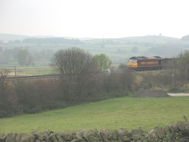
Settle Junction railway station
Settle Junction railway station was located near the town of Settle, North Yorkshire, England, immediately to south of the junction between the Midland...

Rathmell
Rathmell is a village and civil parish in the Craven district of North Yorkshire, England. The population of the civil parish in the 2011 census was 305...

Giggleswick railway station
Giggleswick is a railway station on the Bentham Line, which runs between Leeds and Morecambe via Skipton. The station, situated 41+1⁄4 miles (66 km) north...
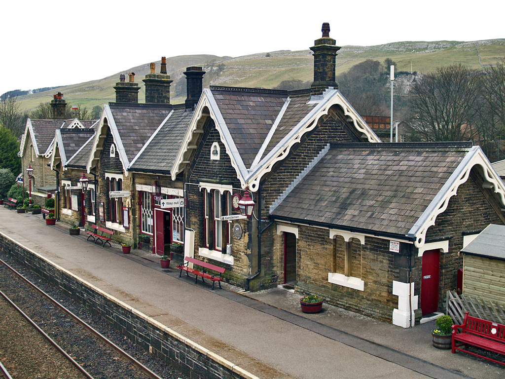
Settle railway station
Settle is a railway station on the Settle and Carlisle Line, which runs between Carlisle and Leeds via Settle. The station, situated 41 miles 37 chains...
Nearby Amenities
Located within 500m of 54.040871,-2.28018Have you been to Mearbeck?
Leave your review of Mearbeck below (or comments, questions and feedback).