Meanwood
Settlement in Yorkshire
England
Meanwood

Meanwood is a suburban area located in the city of Leeds, West Yorkshire, England. It lies approximately 3 miles north of the city center and is bordered by the neighborhoods of Headingley, Chapel Allerton, and Moortown. Meanwood is a predominantly residential area with a mix of different housing types, including Victorian terraced houses, semi-detached properties, and modern apartments.
The area is known for its green spaces and natural beauty, with Meanwood Park being a prominent feature. This expansive park covers over 29 hectares and offers a tranquil retreat for residents and visitors alike. It boasts picturesque woodlands, open fields, and a large lake, providing ample opportunities for walking, jogging, and picnicking.
Meanwood Beck, a small river, flows through the area, adding to the charm and natural appeal of the neighborhood. Numerous footpaths and cycle routes connect Meanwood with other nearby areas, making it popular amongst outdoor enthusiasts.
In recent years, Meanwood has experienced significant regeneration, resulting in the development of new housing, shops, and amenities. The area is well-served by a range of local businesses, including independent retailers, cafes, restaurants, and pubs. Meanwood also benefits from good transport links, with regular bus services connecting it to Leeds city center and surrounding areas.
Overall, Meanwood offers a pleasant suburban lifestyle with its attractive green spaces, diverse housing options, and convenient amenities, making it an appealing place to live and visit in Yorkshire.
If you have any feedback on the listing, please let us know in the comments section below.
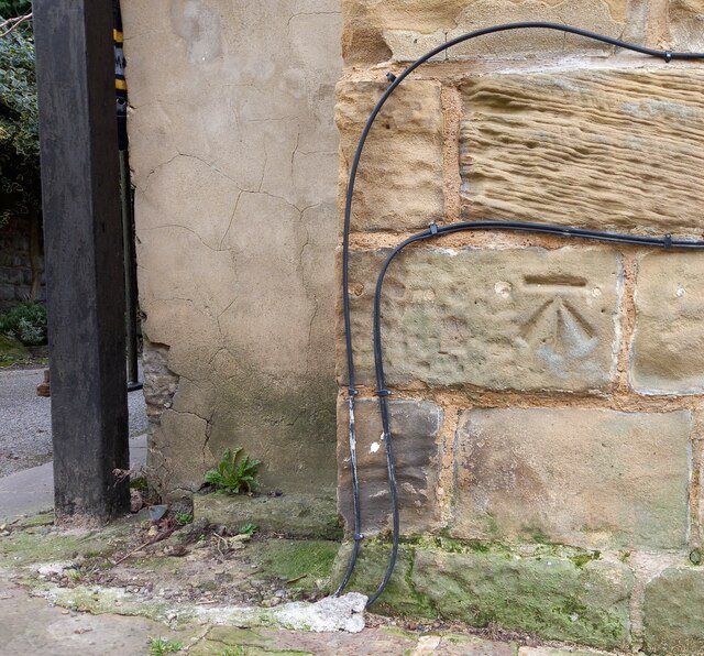
Meanwood Images
Images are sourced within 2km of 53.836107/-1.563084 or Grid Reference SE2837. Thanks to Geograph Open Source API. All images are credited.


Meanwood is located at Grid Ref: SE2837 (Lat: 53.836107, Lng: -1.563084)
Division: West Riding
Unitary Authority: Leeds
Police Authority: West Yorkshire
What 3 Words
///myself.shall.funded. Near Chapel Allerton, West Yorkshire
Nearby Locations
Related Wikis
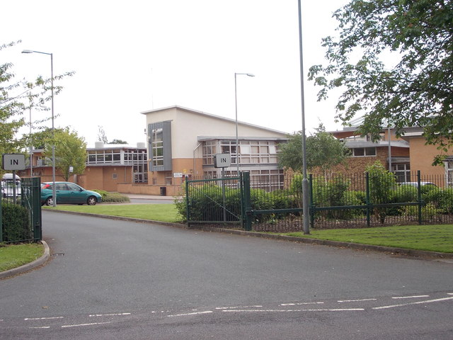
Cardinal Heenan Catholic High School, Leeds
Cardinal Heenan Catholic High School is a comprehensive school located in Meanwood, Leeds, West Yorkshire, England. == General == Cardinal Heenan Catholic...

Meanwood
Meanwood is a suburb and former village in north-west Leeds, West Yorkshire, England. The area sits in the Moortown ward of Leeds City Council and Leeds...

Carr Manor
Carr Manor is a Victorian grade II listed house in Meanwood, Leeds, England, designed by Edward Schroeder Prior and built for Thomas Clifford Allbutt...
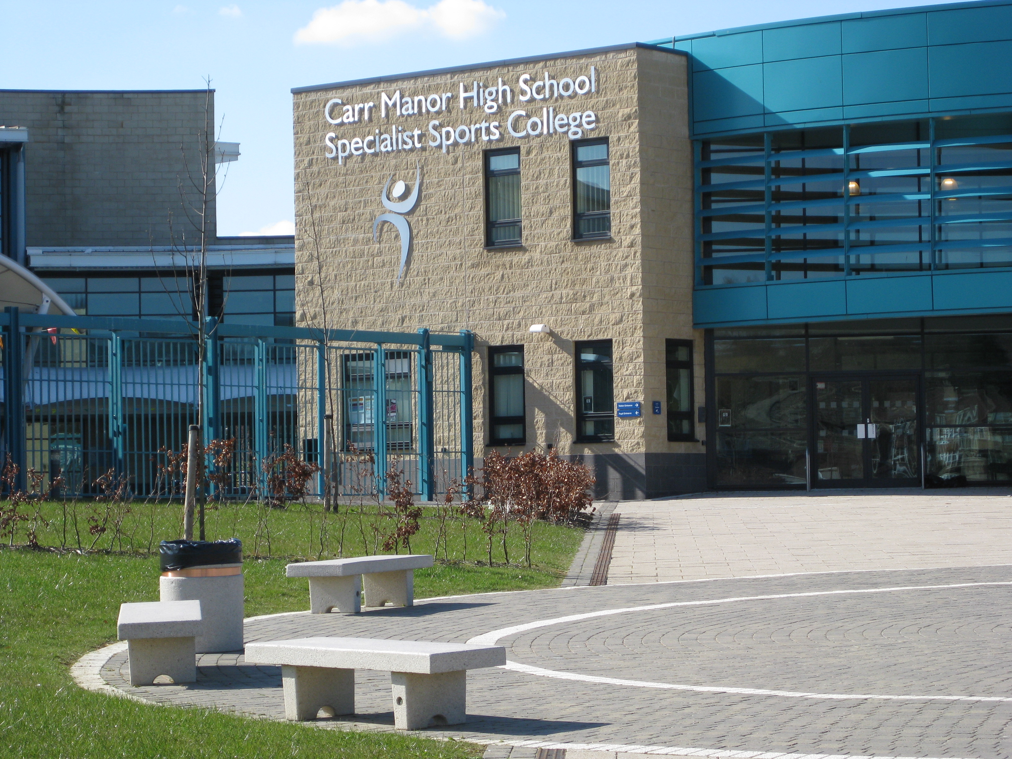
Carr Manor Community School
Carr Manor Community School (formerly Carr Manor High School) is a mixed all-through school located in Leeds, West Yorkshire, England. It was formed from...
Nearby Amenities
Located within 500m of 53.836107,-1.563084Have you been to Meanwood?
Leave your review of Meanwood below (or comments, questions and feedback).