Upper Pond Street
Settlement in Essex Uttlesford
England
Upper Pond Street
Upper Pond Street is a small residential street located in Essex, England. Situated within the borough of Colchester, it is part of the larger area known as Stanway. The street is primarily residential, consisting of a mix of detached and semi-detached houses.
Upper Pond Street benefits from its convenient location, with easy access to a range of amenities. The nearby Tollgate Retail Park offers a variety of shops, including major supermarkets, fashion outlets, and home improvement stores. Residents also have access to several local schools, making it an ideal location for families.
The street itself is well-maintained, with tidy pavements and well-kept gardens. The houses on Upper Pond Street are predominantly modern in style, showcasing a variety of architectural designs. Many properties have driveways or allocated parking spaces, providing ample parking for residents and visitors.
In terms of transportation, Upper Pond Street benefits from good road connections. The nearby A12 and A120 provide easy access to Colchester town center, Chelmsford, and other major cities in the region. Additionally, there are regular bus services that run along nearby roads, offering further transportation options.
The area surrounding Upper Pond Street is characterized by its green spaces and recreational facilities. The nearby Stanway Green Lodge Park offers a tranquil setting for outdoor activities, such as walking, picnicking, and birdwatching.
Overall, Upper Pond Street in Essex offers a peaceful and convenient residential location, with easy access to amenities, schools, and transportation links.
If you have any feedback on the listing, please let us know in the comments section below.
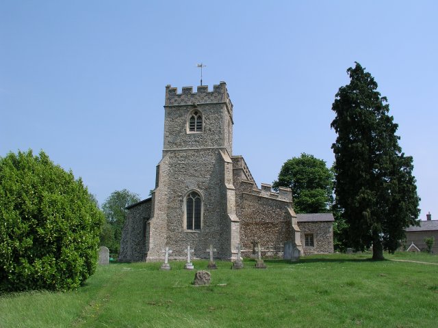
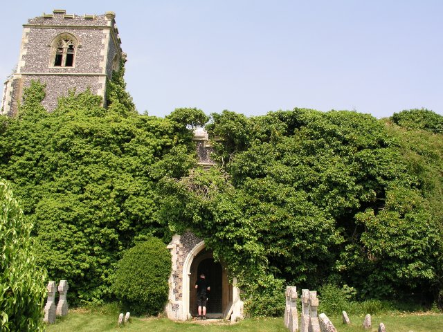
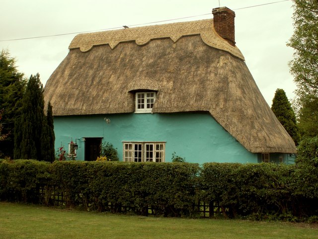
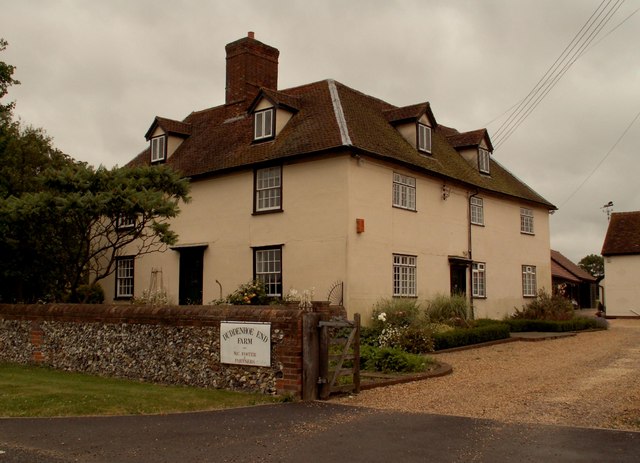
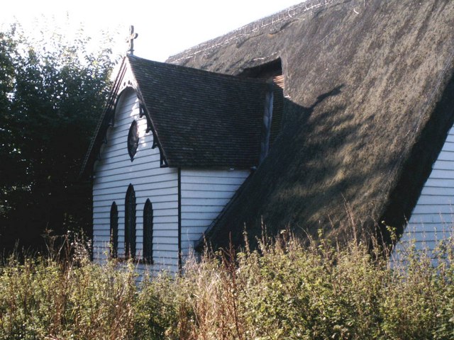
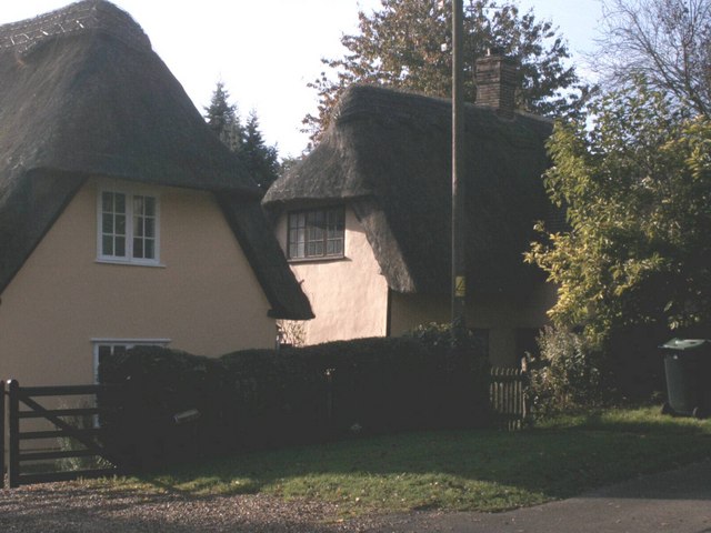
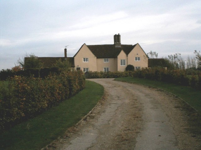
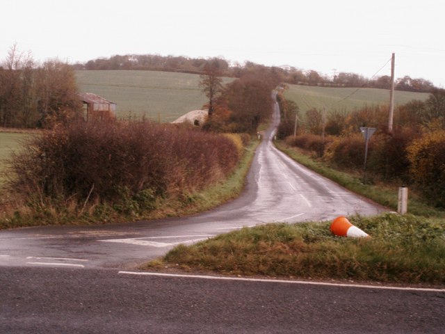
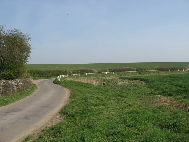
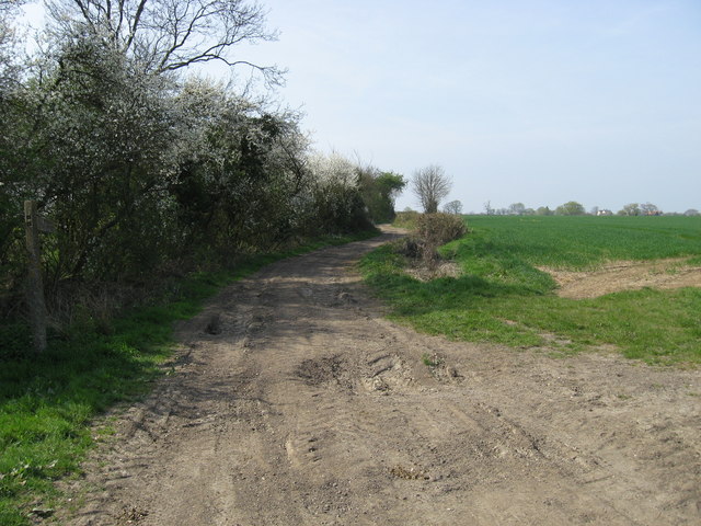
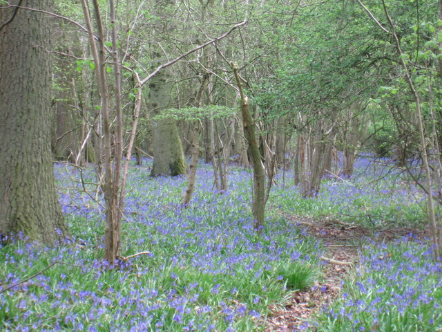
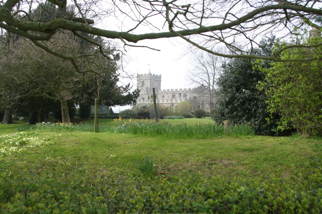
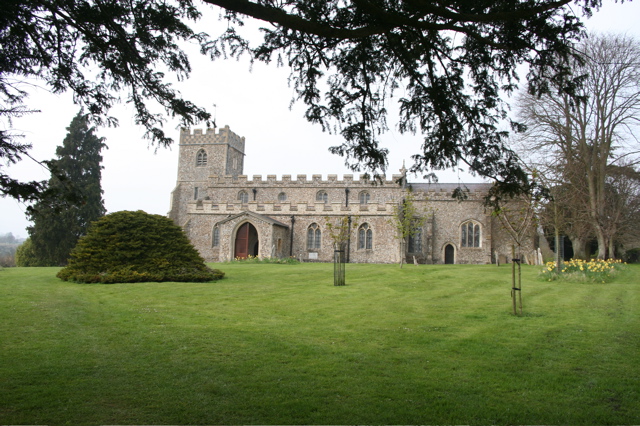
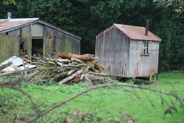
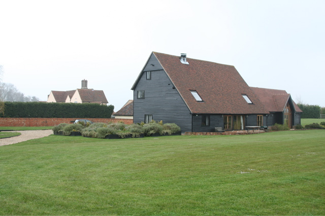
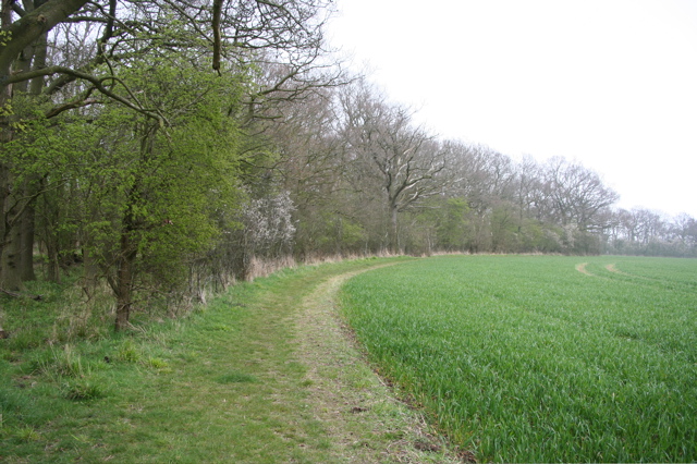
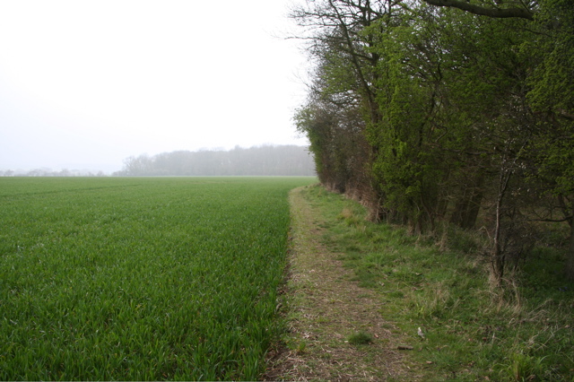
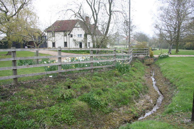
Upper Pond Street Images
Images are sourced within 2km of 52.013187/0.12522448 or Grid Reference TL4537. Thanks to Geograph Open Source API. All images are credited.
Upper Pond Street is located at Grid Ref: TL4537 (Lat: 52.013187, Lng: 0.12522448)
Administrative County: Essex
District: Uttlesford
Police Authority: Essex
What 3 Words
///panting.graver.gravitate. Near Great Chesterford, Essex
Nearby Locations
Related Wikis

Duddenhoe End
Duddenhoe End is a small village in the civil parish of Elmdon & Wenden Lofts, in northwest Essex, England, and situated approximately halfway between...

Wenden Lofts
Wenden Lofts is a small community in the civil parish of Elmdon, Duddenhoe End & Wenden Lofts in the Uttlesford district, in the county of Essex, England...

Chrishall
Chrishall (pronounced Chris hall) is a small village in the English county of Essex. It is located 12 miles (20 km) south of Cambridge and lies equidistant...

Elmdon
See also, Elmdon, West Midlands.Elmdon is a village in the civil parish of Elmdon, Duddenhoe End & Wenden Lofts situated in the Uttlesford district of...

Langley, Essex
For the historic house in Essex called Langley's, see Great Waltham. Langley is a village and civil parish near Clavering in the English county of Essex...

Littlebury Green
Littlebury Green is a village in the civil parish of Littlebury and the district of Uttlesford in Essex, England. Littlebury Green is one of three settlements...

Strethall
Strethall is a village and a civil parish in the Uttlesford District, in the English county of Essex, near the town of Saffron Walden. Having suffered...

Arkesden
Arkesden is a village and civil parish in the Uttlesford district of Essex, England. The village is 4.3 miles (7 km) south-west from Saffron Walden, approximately...
Nearby Amenities
Located within 500m of 52.013187,0.12522448Have you been to Upper Pond Street?
Leave your review of Upper Pond Street below (or comments, questions and feedback).