Lower Pond Street
Settlement in Essex Uttlesford
England
Lower Pond Street
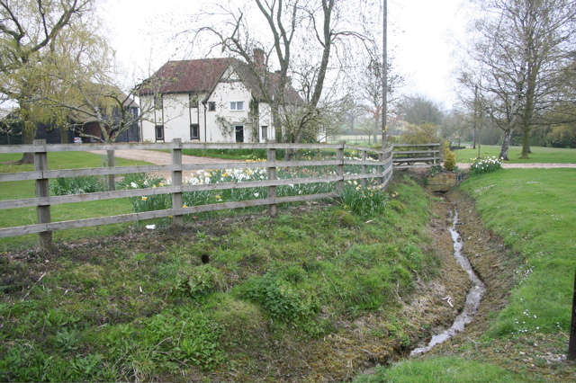
Lower Pond Street is a charming residential street located in the county of Essex, England. Situated in a peaceful and picturesque area, the street is known for its idyllic surroundings and tranquil atmosphere. It is a popular choice for families and individuals seeking a quiet and serene place to live.
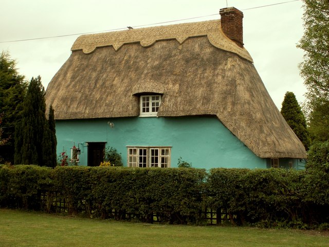
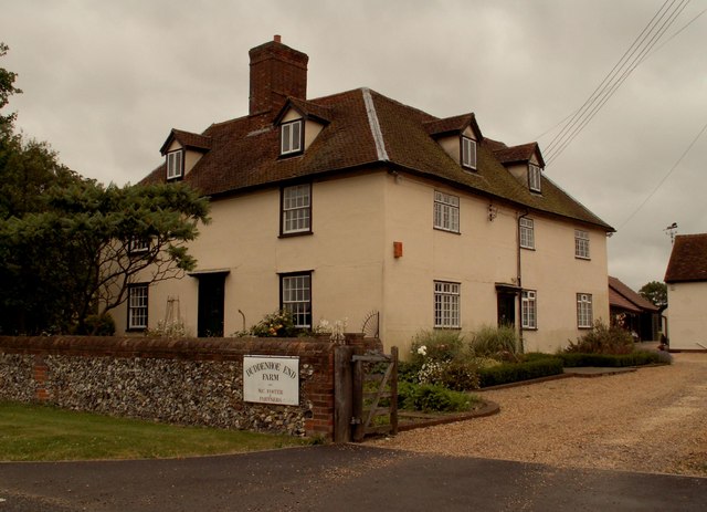
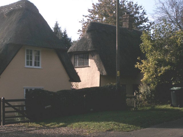
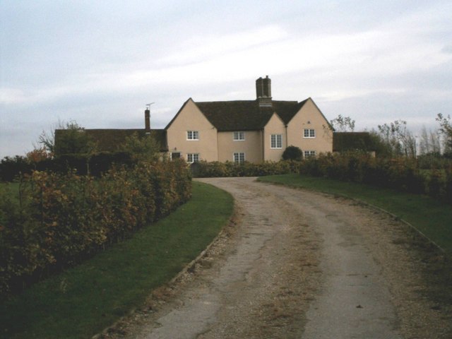
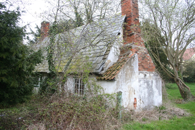
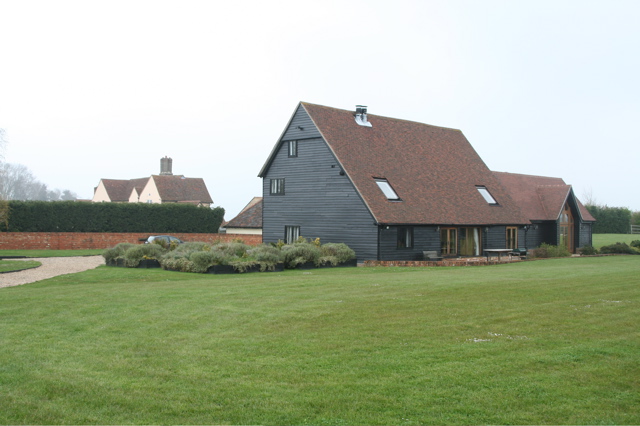
The street is lined with a mix of beautiful detached and semi-detached houses, showcasing a variety of architectural styles. Many of these properties have well-maintained gardens, adding to the overall aesthetic appeal of the street. The houses typically have ample parking spaces and are set back from the road, providing a sense of privacy for residents.
Lower Pond Street benefits from its close proximity to several amenities and facilities. Within a short distance, residents can find an array of local shops, supermarkets, and restaurants, catering to their everyday needs. The street is also conveniently located near schools, making it a desirable location for families with children.
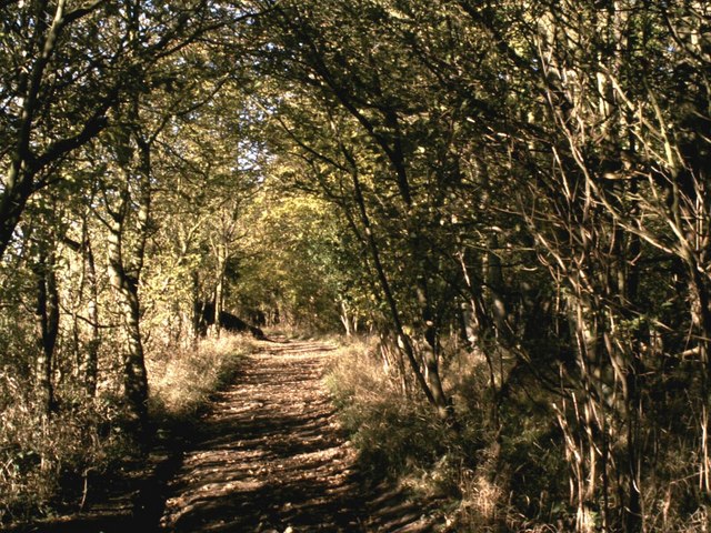
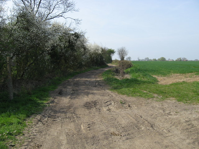
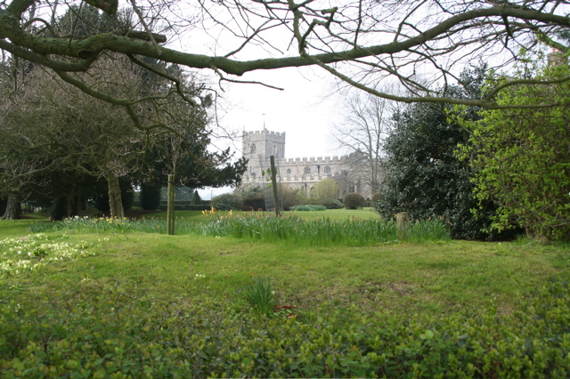
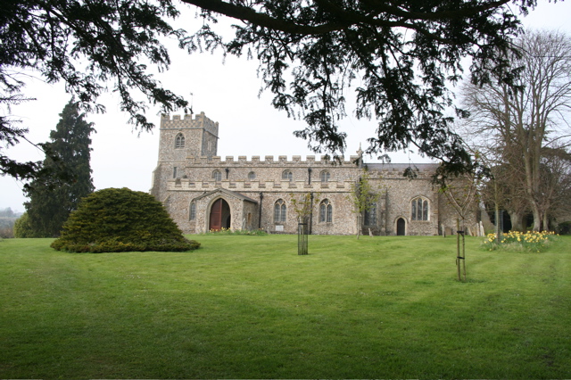
Nature enthusiasts can take advantage of the nearby countryside, with various walking and cycling trails available for exploration. Lower Pond Street is in close proximity to several parks and green spaces, providing residents with ample opportunities for outdoor activities and recreation.
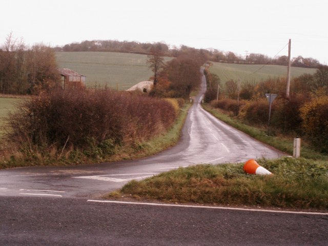
Transport links in the area are excellent, with easy access to major roads and motorways, allowing for convenient commuting to nearby towns and cities. Additionally, public transportation options, including bus services, are readily available, ensuring easy connectivity for those without private vehicles.
Overall, Lower Pond Street offers a peaceful and family-friendly environment, with its charming houses, convenient amenities, and natural beauty making it an attractive place to call home in Essex.
If you have any feedback on the listing, please let us know in the comments section below.
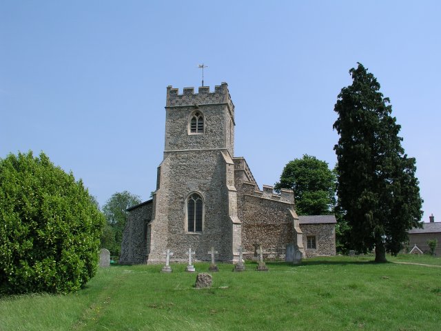
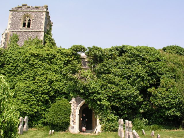
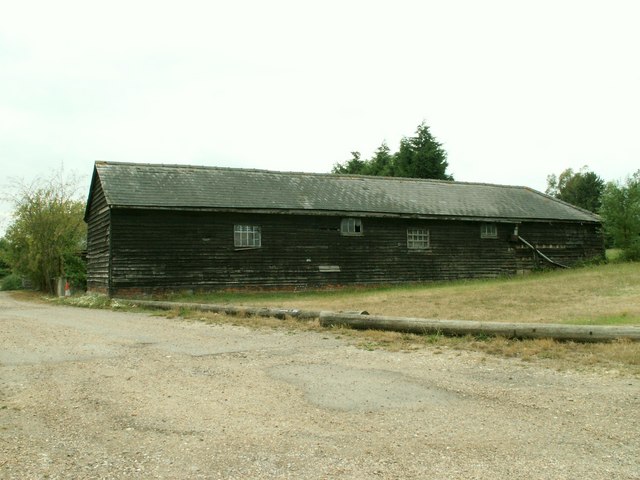
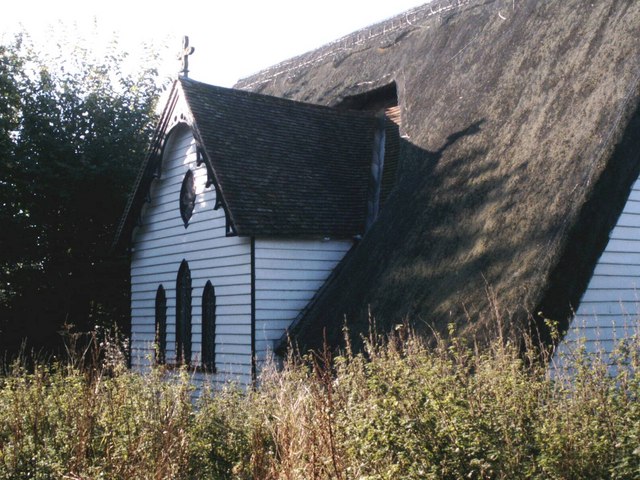
Lower Pond Street Images
Images are sourced within 2km of 52.01791/0.12310189 or Grid Reference TL4537. Thanks to Geograph Open Source API. All images are credited.

Lower Pond Street is located at Grid Ref: TL4537 (Lat: 52.01791, Lng: 0.12310189)
Administrative County: Essex
District: Uttlesford
Police Authority: Essex
What 3 Words
///flocking.robes.radiated. Near Great Chesterford, Essex
Nearby Locations
Related Wikis

Wenden Lofts
Wenden Lofts is a small community in the civil parish of Elmdon, Duddenhoe End & Wenden Lofts in the Uttlesford district, in the county of Essex, England...

Duddenhoe End
Duddenhoe End is a small village in the civil parish of Elmdon & Wenden Lofts, in northwest Essex, England, and situated approximately halfway between...

Chrishall
Chrishall (pronounced Chris hall) is a small village in the English county of Essex. It is located 12 miles (20 km) south of Cambridge and lies equidistant...

Elmdon
See also, Elmdon, West Midlands.Elmdon is a village in the civil parish of Elmdon, Duddenhoe End & Wenden Lofts situated in the Uttlesford district of...

Langley, Essex
For the historic house in Essex called Langley's, see Great Waltham. Langley is a village and civil parish near Clavering in the English county of Essex...

Strethall
Strethall is a village and a civil parish in the Uttlesford District, in the English county of Essex, near the town of Saffron Walden. Having suffered...

Littlebury Green
Littlebury Green is a village in the civil parish of Littlebury and the district of Uttlesford in Essex, England. Littlebury Green is one of three settlements...
Heydon, Cambridgeshire
Heydon is a village and civil parish in Cambridgeshire, England. The parish of Heydon was transferred from Essex to Cambridgeshire in 1894. The area of...
Related Videos

UNPLUGGED CABIN | Outside London Getaway | KOYA Cabin
This is a 3 day nice weekend getaway - away from the toxicity and noise of the city - carefully placed in the beautiful country side.

An Elmdon Circular. 23/6/21
A decent 11.7 miles of walking in NW Essex, courtesy of Essex Walks.com. It was a fair day, with a good walking temperature of ...
Nearby Amenities
Located within 500m of 52.01791,0.12310189Have you been to Lower Pond Street?
Leave your review of Lower Pond Street below (or comments, questions and feedback).