Lower Pitcalzean

Settlement in Ross-shire

Scotland

Lower Pitcalzean

Nigg Beach The eastern part of Nigg Beach with the guano-stained cliffs of North Sutor beyond.  The North Sutor cliffs support breeding razorbill, guillemot, shag, kittiwake, black guillemot and 4% of the breeding British cormorant population.
Nigg Beach Credit: Julian Paren

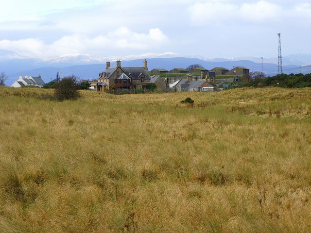
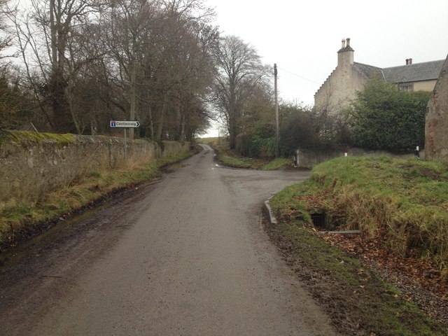
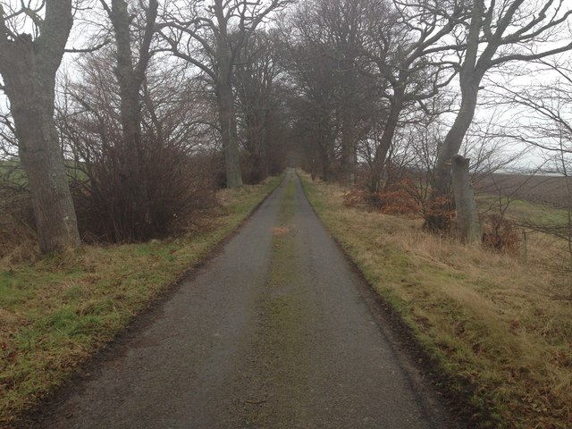
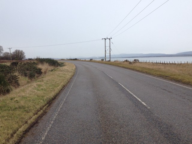
Lower Pitcalzean is a small, rural village located in the county of Ross-shire, in the Highland region of Scotland. Situated in the eastern part of Ross-shire, the village is nestled in a picturesque and tranquil setting, surrounded by rolling hills and lush green pastures.

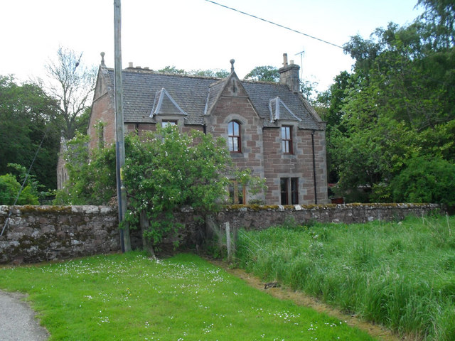
The village itself is made up of a scattering of traditional stone-built houses, giving it a charming and quaint appearance. The community is tight-knit and friendly, with a population of approximately 100 residents.

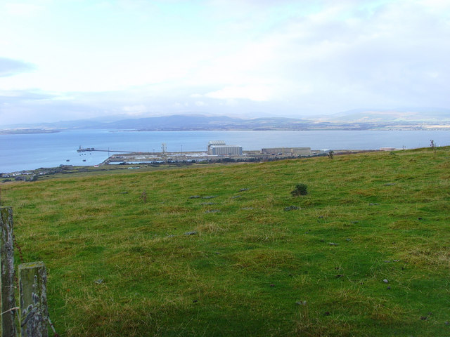
Lower Pitcalzean is known for its stunning natural beauty and offers breathtaking panoramic views of the surrounding countryside. The village is a haven for nature lovers and outdoor enthusiasts, with numerous walking trails and hiking routes nearby. It is also home to a variety of wildlife, including deer, foxes, and a wide array of bird species.

Although small, Lower Pitcalzean is well-served by amenities. It has a local primary school, a village hall, and a small convenience store that caters to the daily needs of the residents. For more extensive shopping and services, the nearby towns of Tain and Invergordon are within easy reach.

Overall, Lower Pitcalzean offers a peaceful and idyllic lifestyle away from the hustle and bustle of urban areas. Its stunning natural surroundings, close-knit community, and proximity to amenities make it an attractive place to live for those seeking a rural retreat in the Scottish Highlands.

If you have any feedback on the listing, please let us know in the comments section below.

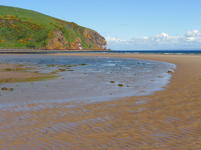
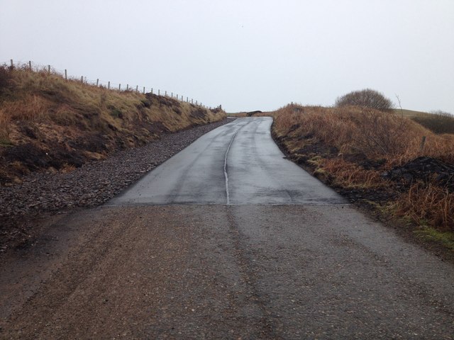
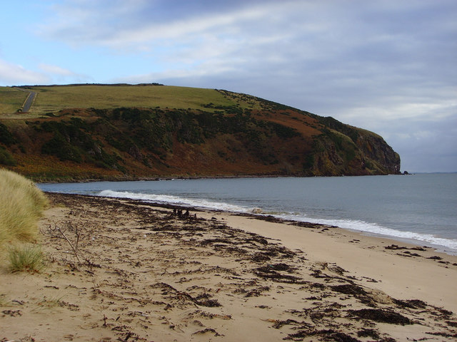
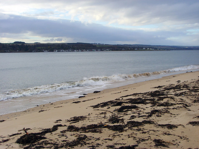
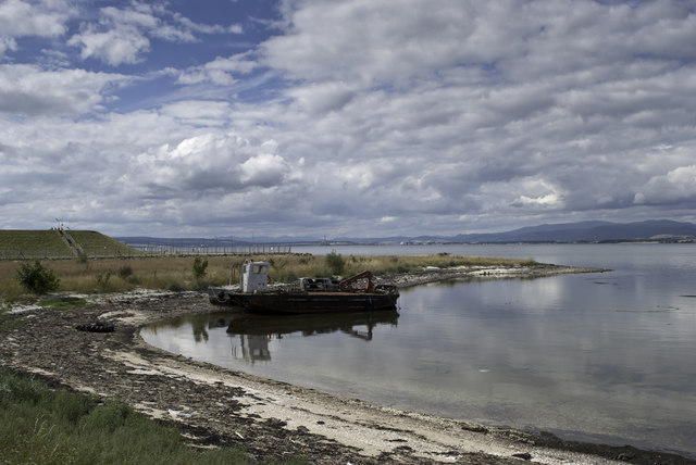
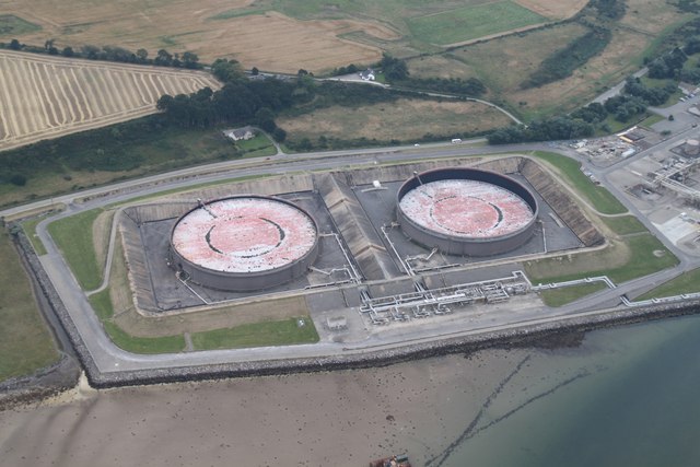
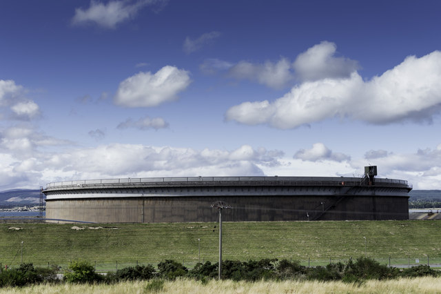
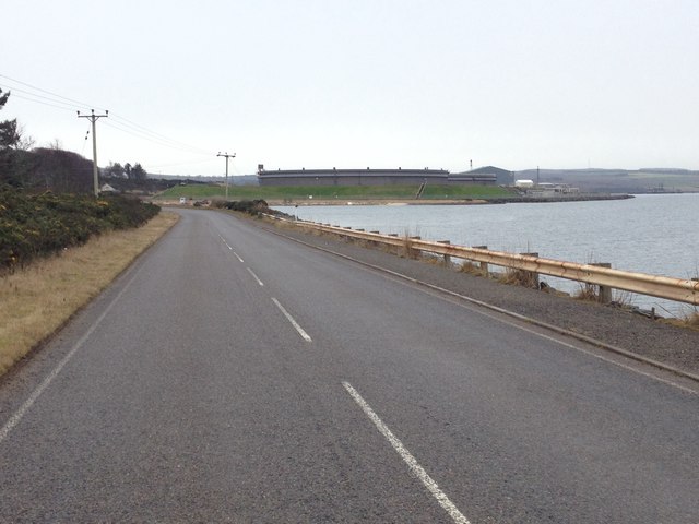
Lower Pitcalzean Images

Images are sourced within 2km of 57.707866/-4.0266113 or Grid Reference NH7970. Thanks to Geograph Open Source API. All images are credited.

Nigg Beach The eastern part of Nigg Beach with the guano-stained cliffs of North Sutor beyond.  The North Sutor cliffs support breeding razorbill, guillemot, shag, kittiwake, black guillemot and 4% of the breeding British cormorant population.
Nigg Beach
The eastern part of Nigg Beach with the guano-stained cliffs of North Sutor beyond. The North Sutor cliffs support breeding razorbill, guillemot, shag, kittiwake, black guillemot and 4% of the breeding British cormorant population.
North Sutor Coastline The nice sandy Beach on the North Sutor Coastline.
North Sutor Coastline
The nice sandy Beach on the North Sutor Coastline.
Quarry access road, Nigg
The beach near Nigg, North Sutor in the distance
Near Nigg Ferry, looking across towards Cromarty
Looking back towards Nigg Ferry
On Nigg Hill The oil rig service yards can be seen in the distance.
On Nigg Hill
The oil rig service yards can be seen in the distance.
Former School at Nigg
Road junction in Nigg
Road to Pitcalzean House
Nigg Old Church and churchyard The church receives a stream of visitors to see the Pictish Cross Slab now well conserved and shown off well within the church. It is the real stone - not a replica - that is displayed in the church.
Nigg Old Church and churchyard
The church receives a stream of visitors to see the Pictish Cross Slab now well conserved and shown off well within the church. It is the real stone - not a replica - that is displayed in the church.
The Pictish Cross Slab housed in Nigg Old Church Until recently the stone was outside the church.  Now it is the focal point of a very good display that explains its significance.
The Pictish Cross Slab housed in Nigg Old Church
Until recently the stone was outside the church. Now it is the focal point of a very good display that explains its significance.
Wall sign for Nigg Old Church How refreshing to see a welcome sign in keeping with a venerable mossy wall and the antiquity of the site you are about to visit.  No garish Visit Scotland 4-Star plastic plaques, or reminders you are on the Easter Ross Pictish Trail.  No sign saying "Car Park" or white lines on the ground.  Just a simple elegant sign.
Wall sign for Nigg Old Church
How refreshing to see a welcome sign in keeping with a venerable mossy wall and the antiquity of the site you are about to visit. No garish Visit Scotland 4-Star plastic plaques, or reminders you are on the Easter Ross Pictish Trail. No sign saying "Car Park" or white lines on the ground. Just a simple elegant sign.
Aground near Nigg
Aground near Nigg
Oil Tanks for Nigg Yard The two big oil tanks, one looking empty the other a bit fuller taken from above.
Oil Tanks for Nigg Yard
The two big oil tanks, one looking empty the other a bit fuller taken from above.
Oil Tank at Nigg Terminal
B9175 near Nigg
B9175 near Nigg
B9175 near Nigg
B9175 near Nigg
Show me another place!

Lower Pitcalzean is located at Grid Ref: NH7970 (Lat: 57.707866, Lng: -4.0266113)

Unitary Authority: Highland

Police Authority: Highlands and Islands

What 3 Words

///plankton.sculpting.soon. Near Balintore, Highland

Related Wikis

Balnapaling

Balnapaling (Scottish Gaelic: Baile nam Pèiling) is a village on the north side of the Cromarty Firth, opposite Cromarty, located in eastern Ross-shire...
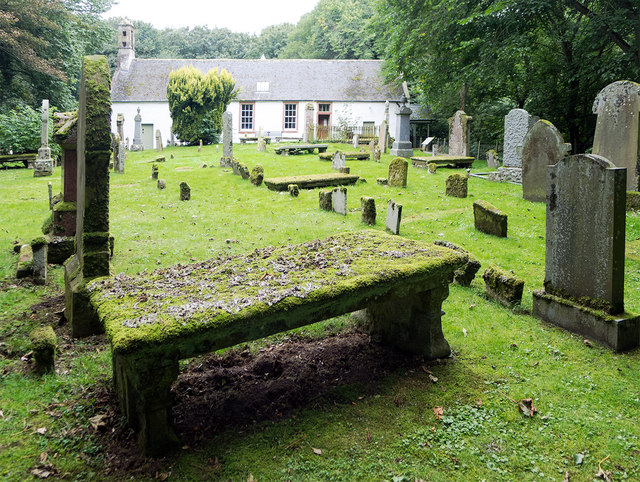
Nigg, Highland

Nigg (from the Scottish Gaelic: An Neag meaning "the notch", referring to a feature of the hills above the parish church) is a village and parish in Easter...
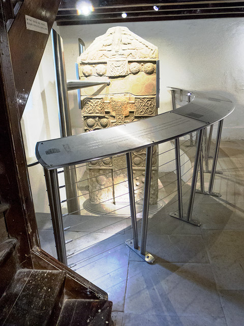
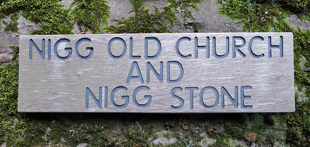
Nigg Stone

The Nigg Stone is an incomplete Class II Pictish cross-slab, perhaps dating to the end of the 8th century.The stone was originally located at the gateway...

Nigg Bay

Nigg Bay (Scottish Gaelic: Camas Neig) is a large, relatively shallow sandy bay, consisting of mudflats, saltmarsh and wet grassland, located on the north...

Pitcalnie

Pitcalnie (Scottish Gaelic: Baile Chailnidh or Cuilt Eararaidh) is a small hamlet on the northeast corner of Nigg Bay in Ross-shire, Scottish Highlands...

Cromarty

Cromarty ( ; Scottish Gaelic: Cromba, IPA: [ˈkʰɾɔumpə]) is a town, civil parish and former royal burgh in Ross and Cromarty, in the Highland area of Scotland...

Cromarty Courthouse

Cromarty Courthouse, formerly Cromarty Town House, is a municipal building in Church Street, Cromarty, in the Highland area of Scotland. The structure...

Cromarty Castle

Cromarty Castle was a castle in Cromarty, Scotland. Cromarty, then known as Crumbathyn, was created a royal burgh in the reign of King Alexander I of Scotland...

Nearby Amenities

Located within 500m of 57.707866,-4.0266113
Source: PGS
Lat/Long: 57.7121139/-4.0280784
Source: PGS
Lat/Long: 57.7114514/-4.0287597
Source: PGS
Lat/Long: 57.7110806/-4.0292274
Source: PGS
Lat/Long: 57.7107017/-4.0296341
Source: PGS
Lat/Long: 57.7098776/-4.0302145
Source: PGS
Lat/Long: 57.7092024/-4.0306855
Source: PGS
Lat/Long: 57.7086195/-4.0311082
Source: PGS
Lat/Long: 57.7081266/-4.0309623
Source: PGS
Lat/Long: 57.707738/-4.0310052
Source: PGS
Lat/Long: 57.7071252/-4.0314762
Source: PGS
Lat/Long: 57.7065721/-4.0318099
Source: PGS
Lat/Long: 57.705886/-4.0324504
Source: PGS
Lat/Long: 57.7051643/-4.0329514
Power: pole
Lat/Long: 57.703762/-4.0243281
Power: pole
Lat/Long: 57.7044992/-4.0243809
Power: pole
Lat/Long: 57.7053406/-4.0244316
Power: pole
Lat/Long: 57.705965/-4.0248151
Power: pole
Lat/Long: 57.7068518/-4.0253285
Power: pole
Lat/Long: 57.7077115/-4.0260996
Power: pole
Lat/Long: 57.7081842/-4.0245067
Power: pole
Lat/Long: 57.7087181/-4.0241138
Power: pole
Lat/Long: 57.7087219/-4.024111
Power: pole
Lat/Long: 57.7090492/-4.024109
Power: pole
Lat/Long: 57.7096119/-4.0241049
Power: pole
Lat/Long: 57.708762/-4.0236077
Power: pole
Lat/Long: 57.7093062/-4.0225262
Power: pole
Lat/Long: 57.7098666/-4.0214263
Power: pole
Lat/Long: 57.7104433/-4.0202717
Power: pole
Lat/Long: 57.7038411/-4.024115
Power: pole
Lat/Long: 57.7045491/-4.0241394
The data included in this document is from www.openstreetmap.org. The data is made available under ODbL.

Have you been to Lower Pitcalzean?

Leave your review of Lower Pitcalzean below (or comments, questions and feedback).