Tregof Village

Settlement in Glamorgan

Wales

Tregof Village

Ordnance Survey Cut Mark This OS cut mark can be found on the wall SW side of Park Road. It marks a point 21.120m above mean sea level.
Ordnance Survey Cut Mark Credit: Adrian Dust

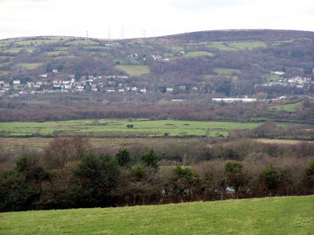
Tregof Village is a small rural community located in the county of Glamorgan, Wales. Situated amidst rolling hills and lush green fields, the village is known for its picturesque countryside views and tranquil atmosphere. The village is home to a tight-knit community of residents who take pride in their close connections and strong sense of community spirit.

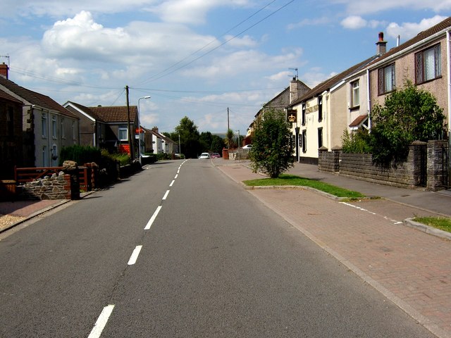
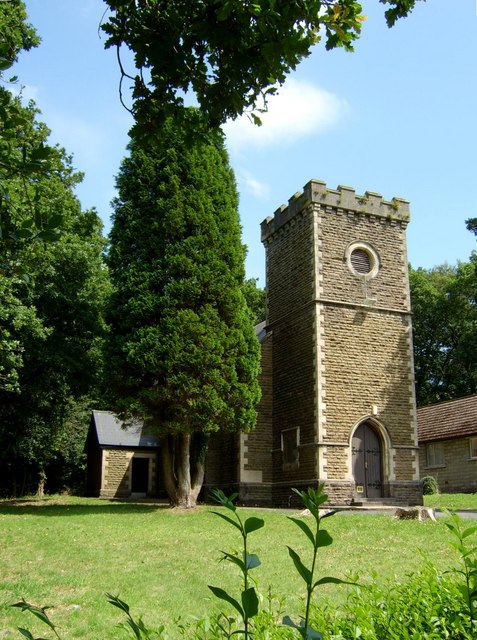
Tregof Village is characterized by its traditional Welsh architecture, with charming stone cottages and quaint village shops lining the narrow streets. The village church, St. Mary's, stands at the heart of the community and serves as a focal point for local gatherings and events.

Despite its small size, Tregof Village boasts a range of amenities including a village hall, a local pub, and a primary school. The surrounding countryside provides ample opportunities for outdoor activities such as hiking, cycling, and horseback riding.

Overall, Tregof Village offers a peaceful and idyllic setting for those seeking a slower pace of life in the beautiful Welsh countryside.

If you have any feedback on the listing, please let us know in the comments section below.

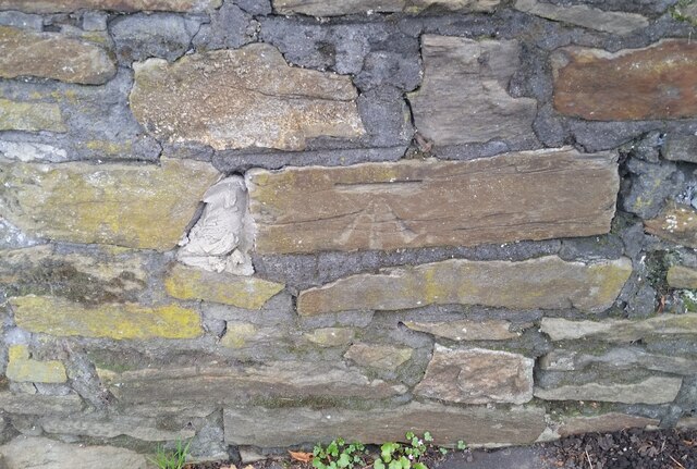
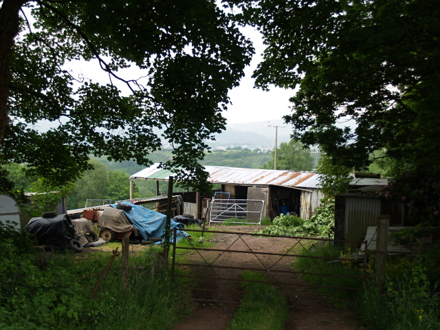
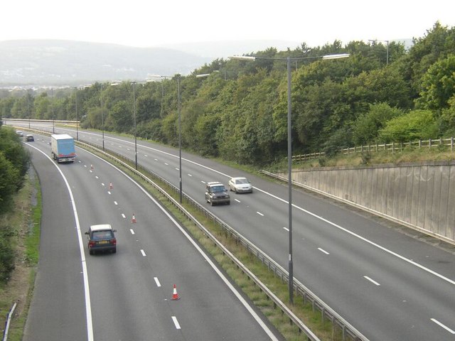
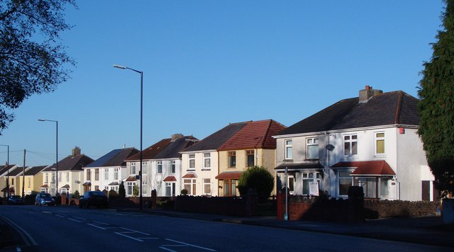
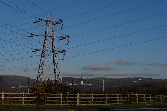
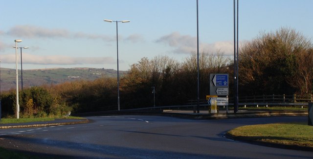
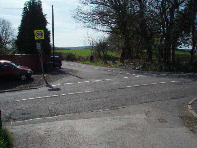
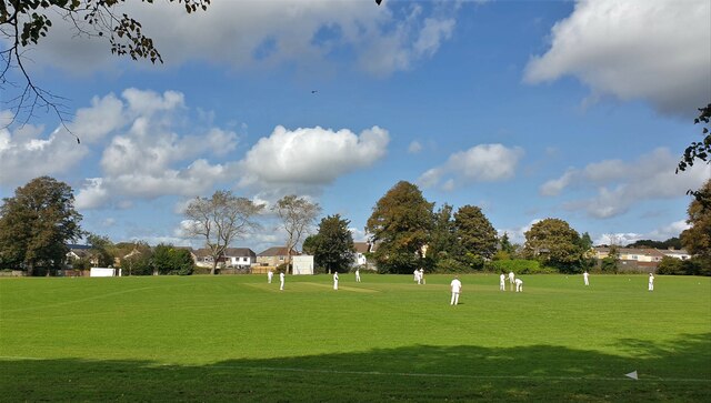
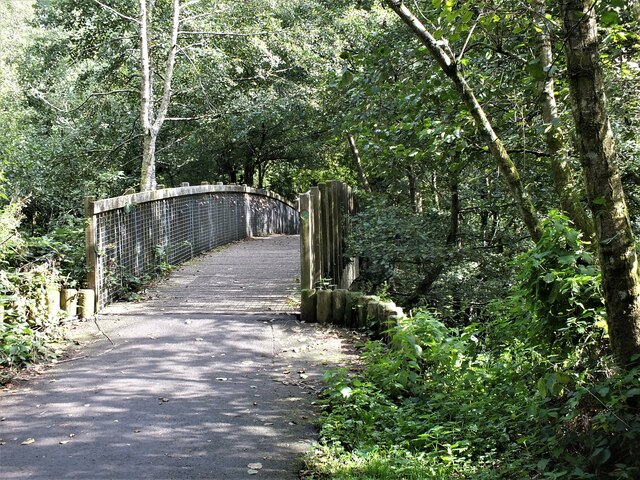
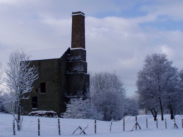
Tregof Village Images

Images are sourced within 2km of 51.669017/-3.893703 or Grid Reference SS6998. Thanks to Geograph Open Source API. All images are credited.

Ordnance Survey Cut Mark This OS cut mark can be found on the wall SW side of Park Road. It marks a point 21.120m above mean sea level.
Ordnance Survey Cut Mark
This OS cut mark can be found on the wall SW side of Park Road. It marks a point 21.120m above mean sea level.
Gateway High in Hedge
Gateway at Glyn-derwen
Farm Buildings, Birchgrove Just off the B4291, a busy road between Glais and Neath.
Farm Buildings, Birchgrove
Just off the B4291, a busy road between Glais and Neath.
Birchgrove near Swansea Looking north-northwest along the B4291 at Birchgrove, with the post office (sadly, now closed) on the left and the Crown Inn on the right.
Birchgrove near Swansea
Looking north-northwest along the B4291 at Birchgrove, with the post office (sadly, now closed) on the left and the Crown Inn on the right.
St John's Church, Birchgrove St John's, Birchgrove, is situated within the parish of Llansamlet, part of the Church in Wales Diocese of Swansea and Brecon.
St John's Church, Birchgrove
St John's, Birchgrove, is situated within the parish of Llansamlet, part of the Church in Wales Diocese of Swansea and Brecon.
Birchgrove Comprehensive School Birchgrove Comprehensive School, which opened in 1991, serves the Swansea Valley communities of Birchgrove, Glais, and Clydach as well as taking a number of students from nearby Llansamlet and Trallwn.
Birchgrove Comprehensive School
Birchgrove Comprehensive School, which opened in 1991, serves the Swansea Valley communities of Birchgrove, Glais, and Clydach as well as taking a number of students from nearby Llansamlet and Trallwn.
Junction 44 of the M4 The eastbound sliproad from the A48 to the M4 near Birchgrove is unusual in that it peels off the inside of the roundabout that straddles the motorway at this point. Traffic approaching from the B4291 (between the two leftmost lamp posts as seen here) and wishing to join the M4 eastbound has to perform a near 360° circuit of the roundabout.
Junction 44 of the M4
The eastbound sliproad from the A48 to the M4 near Birchgrove is unusual in that it peels off the inside of the roundabout that straddles the motorway at this point. Traffic approaching from the B4291 (between the two leftmost lamp posts as seen here) and wishing to join the M4 eastbound has to perform a near 360° circuit of the roundabout.
M4 motorway (westbound) at Junction 44 Taken from above motorway bridge/junction.   As is so often the case, one lane (westbound) is coned off - but for no apparent reason.
M4 motorway (westbound) at Junction 44
Taken from above motorway bridge/junction. As is so often the case, one lane (westbound) is coned off - but for no apparent reason.
Houses, Peniel Green Winter sun catches these classic semi-detached houses in the suburbs of Swansea.
Houses, Peniel Green
Winter sun catches these classic semi-detached houses in the suburbs of Swansea.
Study in Parallels and Angles Somehow this massive pylon manages to look magnificent in the winter sun.
Study in Parallels and Angles
Somehow this massive pylon manages to look magnificent in the winter sun.
Junction 44 of the M4 - at Peniel Green
Heol Las junction, Birchgrove
Heol Las Park, Birchgrove, Swansea
Footbridge over the Fendrod stream, Llansamlet, Swansea Footbridge just north of the point where the stream joins Llyn y Fendrod (The Fendrod Lake).
Footbridge over the Fendrod stream, Llansamlet, Swansea
Footbridge just north of the point where the stream joins Llyn y Fendrod (The Fendrod Lake).
Scott's Pit, Birchgrove, Swansea
Flood plain of the River Tawe View of the valley floor south of Glais.
Flood plain of the River Tawe
View of the valley floor south of Glais.
Clos Cadno, Tregof Village, Swansea This is a cul de sac on a new development nearing completion.
Clos Cadno, Tregof Village, Swansea
This is a cul de sac on a new development nearing completion.
Show me another place!

Tregof Village is located at Grid Ref: SS6998 (Lat: 51.669017, Lng: -3.893703)

Unitary Authority: Swansea

Police Authority: South Wales

What 3 Words

///glory.bared.bulldozer. Near Clydach, Swansea

Related Wikis

Felin Fran Halt railway station

Felin Fran Halt railway station co-served the area of Llansamlet, in the historical county of Glamorganshire, Wales, from 1922 to 1956 on the Swansea District...

Llansamlet (electoral ward)

Llansamlet is the name of an electoral ward (coterminous with the Llansamlet community) in the City and County of Swansea, Wales, UK. The electoral ward...

Swansea Vale

Swansea Vale (Welsh: Bro Abertawe) is a 160-acre (0.65 km2) mixed used new suburb development site in Swansea, Wales. The area is bounded east by Birchgrove...

Llansamlet

Llansamlet is a suburban district and community of Swansea, Wales, falling into the Llansamlet ward. The area is centred on the A48 road (named Samlet...

Nearby Amenities

Located within 500m of 51.669017,-3.893703
Bus Stop
Walters Road West (NE)
Bus: yes
Naptan AtcoCode: 5810AWC52204
Naptan Bearing: NE
Naptan CommonName: Walters Road West (NE)
Naptan NaptanCode: swagwgj
Naptan PlusbusZoneRef: SWANSEA
Naptan Street: Walters Road
Naptan Verified: no
Public Transport: platform
Source: naptan_import
Lat/Long: 51.66625/-3.8969712
Bus Stop
Walters Road West (SW)
Bus: yes
Naptan AtcoCode: 5810AWC52205
Naptan Bearing: SW
Naptan CommonName: Walters Road West (SW)
Naptan NaptanCode: swagwgm
Naptan PlusbusZoneRef: SWANSEA
Naptan Street: Walters Road
Naptan Verified: no
Public Transport: platform
Source: naptan_import
Lat/Long: 51.6663006/-3.8966263
Bus Stop
Felin Fran (NE)
Bus: yes
Naptan AtcoCode: 5810AWC52206
Naptan Bearing: NE
Naptan CommonName: Felin Fran (NE)
Naptan Crossing: Felin Fran
Naptan NaptanCode: swagmdw
Naptan PlusbusZoneRef: SWANSEA
Naptan Street: Walters Road
Naptan Verified: no
Public Transport: platform
Source: naptan_import
Lat/Long: 51.6702751/-3.8910652
Bus Stop
Felin Fran (SW)
Bus: yes
Naptan AtcoCode: 5810AWC52207
Naptan Bearing: SW
Naptan CommonName: Felin Fran (SW)
Naptan Crossing: Ynysallan Road
Naptan NaptanCode: swagmga
Naptan PlusbusZoneRef: SWANSEA
Naptan Street: Heol-las
Naptan Verified: no
Public Transport: platform
Source: naptan_import
Lat/Long: 51.6703867/-3.8902745
Tregof
Place: village
Lat/Long: 51.6688074/-3.8989214
Power: tower
Lat/Long: 51.6697019/-3.8909918
Power: tower
Lat/Long: 51.6653929/-3.8900464
Power: tower
Lat/Long: 51.6720862/-3.8909296
Power: tower
Lat/Long: 51.6671201/-3.8925614
Power: tower
Lat/Long: 51.6686917/-3.8948579
Power: tower
Lat/Long: 51.6708404/-3.8979977
Bus Stop
Bus: yes
Public Transport: platform
Lat/Long: 51.6696071/-3.894683
Bus Stop
Bus: yes
Public Transport: platform
Lat/Long: 51.6696411/-3.8945418
Felin Fran Junction
Alt Name: Felin Fran West Junction
Disused Railway: junction
Railway: site
Lat/Long: 51.6704803/-3.8927548
Felin Fran
Historic Railway: halt
Railway: site
Ref Stanme: FELINFRAN
Ref Stannox: 79106
Ref Tiploc: FELNFRN
Wikidata: Q107313218
Wikipedia: en:Felin Fran Halt railway station
Lat/Long: 51.6693473/-3.8916676
Direction: 280
Generator Method: photovoltaic
Generator Output Electricity: yes
Generator Solar Modules: 8
Generator Source: solar
Generator Type: solar_photovoltaic_panel
Location: roof
Power: generator
Lat/Long: 51.6697327/-3.8998481
Direction: 100
Generator Method: photovoltaic
Generator Output Electricity: yes
Generator Solar Modules: 8
Generator Source: solar
Generator Type: solar_photovoltaic_panel
Location: roof
Power: generator
Lat/Long: 51.6697454/-3.8998015
Direction: 255
Generator Method: photovoltaic
Generator Output Electricity: yes
Generator Solar Modules: 4
Generator Source: solar
Generator Type: solar_photovoltaic_panel
Location: roof
Power: generator
Lat/Long: 51.6685021/-3.9007399
Direction: 195
Generator Method: photovoltaic
Generator Output Electricity: yes
Generator Solar Modules: 12
Generator Source: solar
Generator Type: solar_photovoltaic_panel
Location: roof
Power: generator
Lat/Long: 51.6684572/-3.9006937
The data included in this document is from www.openstreetmap.org. The data is made available under ODbL.

Have you been to Tregof Village?

Leave your review of Tregof Village below (or comments, questions and feedback).