Treglasta

Settlement in Cornwall

England

Treglasta

Crossroads at Hallworthy The main road is the A395 between Launceston and the A30 which it joins in <a href="https://www.geograph.org.uk/gridref/SX1386">SX1386</a>. The road to the left heads to Trewinnow while that to the right to Warbstow.
Crossroads at Hallworthy Credit: John Baker

The requested URL returned error: 429 Too Many Requests

If you have any feedback on the listing, please let us know in the comments section below.
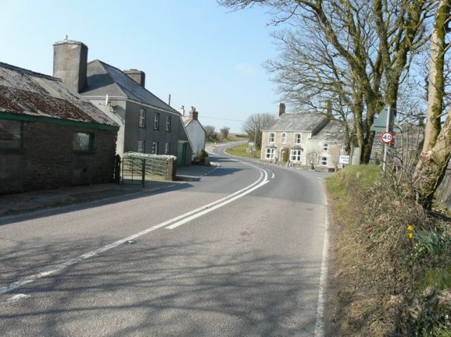
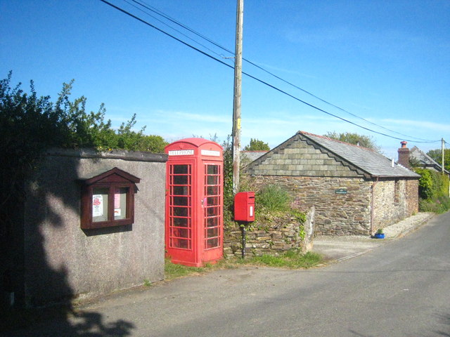
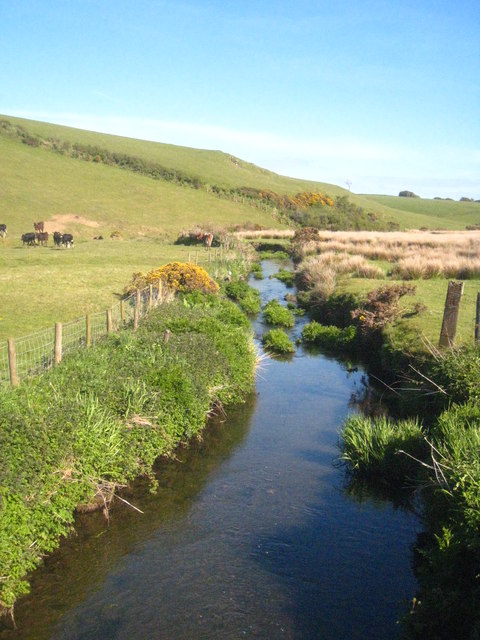
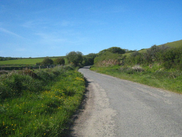
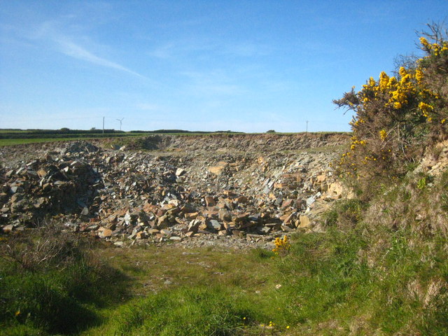
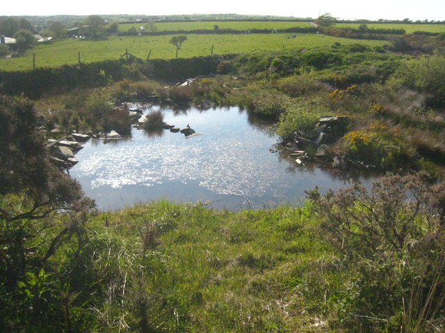
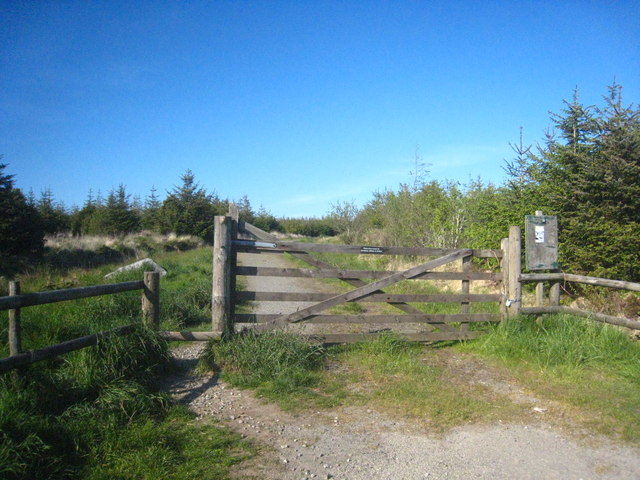
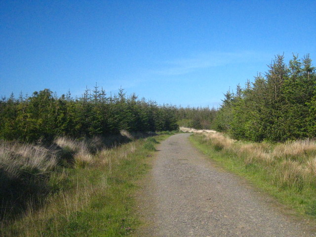
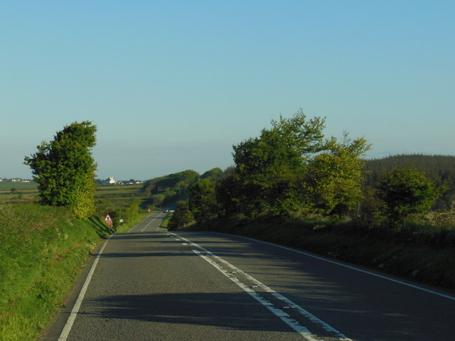
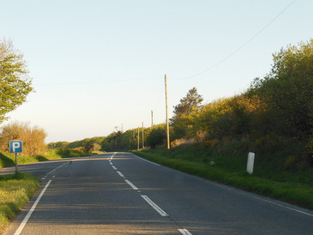
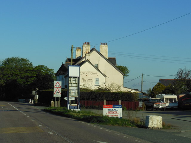
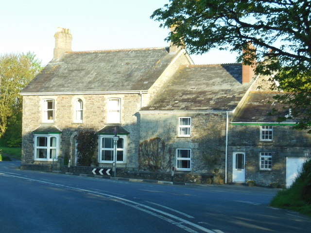
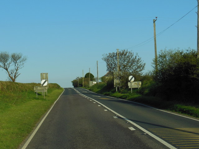
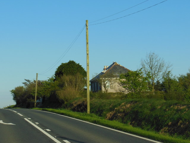
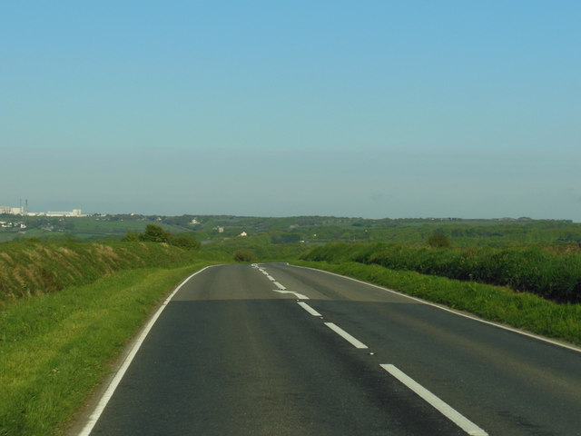
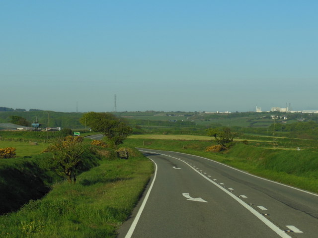
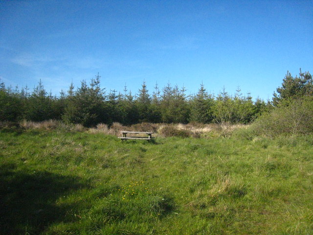
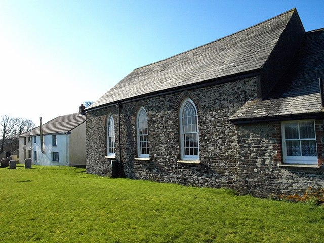
Treglasta Images

Images are sourced within 2km of 50.646917/-4.574764 or Grid Reference SX1886. Thanks to Geograph Open Source API. All images are credited.

Crossroads at Hallworthy The main road is the A395 between Launceston and the A30 which it joins in <a href="https://www.geograph.org.uk/gridref/SX1386">SX1386</a>. The road to the left heads to Trewinnow while that to the right to Warbstow.
Crossroads at Hallworthy
The main road is the A395 between Launceston and the A30 which it joins in SX1386. The road to the left heads to Trewinnow while that to the right to Warbstow.
Telephone box, post box & bus shelter in Tremail village Tremail is a small village on the edge of Davidstow Moor.
Telephone box, post box & bus shelter in Tremail village
Tremail is a small village on the edge of Davidstow Moor.
The River Inny near Trewinnow The Inny flows round the north side of Bodmin Moor and joins the Tamar near Stoke Climsland.
The River Inny near Trewinnow
The Inny flows round the north side of Bodmin Moor and joins the Tamar near Stoke Climsland.
Minor road in the Inny Valley near Treglasta
Small quarry beside the road at Trelay
Quarry pool near Trelay
Forest access gate on the south side of Wilsey Down
Forest track bend on Wilsey Down
The A395 towards Hallworthy
The A395 at Wilsey Down
The Wilsey Down public house, Hallworthy
Houses at Hallworthy
The A395 towards Davidstow
A cottage alongside the A395
The A395 towards Davidstow
The A395 near Tresoke
Picnic area on the edge of the forest on Wilsey Down
Show me another place!

Treglasta is located at Grid Ref: SX1886 (Lat: 50.646917, Lng: -4.574764)

Unitary Authority: Cornwall

Police Authority: Devon and Cornwall

What 3 Words

///member.spurted.exotic. Near Camelford, Cornwall

Nearby Locations

Treglasta

Related Wikis

Hallworthy

Hallworthy (Cornish: Halworgi) is a hamlet in the parish of Treneglos, Cornwall, England. It is at a crossroads on the A395 road from Davidstow to Launceston...

Tremail

Tremail is a hamlet in Cornwall, England, UK. It is about one mile southeast of Davidstow. Higher Tremail Farm and Trewinnow are nearby. == References ==

Cold Northcott

Cold Northcott is a hamlet in Cornwall, England, UK. It is on the A395 road two miles southeast of Hallworthy. It is in the civil parish of St Clether...

Davidstow Circuit

Davidstow Circuit is a disused motor racing circuit and airfield built in Cornwall, in the United Kingdom. The circuit was built on the site of a World...

Nearby Amenities

Located within 500m of 50.646917,-4.574764
Treglasta
Place: isolated_dwelling
Lat/Long: 50.6470159/-4.5741042
Power: pole
Lat/Long: 50.6439652/-4.5794521
Power: pole
Lat/Long: 50.6447982/-4.5790257
Power: pole
Lat/Long: 50.6446498/-4.5766948
Power: pole
Lat/Long: 50.6471773/-4.5739697
Power: pole
Lat/Long: 50.6471807/-4.5750037
Power: pole
Lat/Long: 50.6467691/-4.5758352
Power: pole
Lat/Long: 50.6464119/-4.5766197
Power: pole
Lat/Long: 50.6459178/-4.577653
Power: pole
Lat/Long: 50.6454373/-4.5786602
Power: pole
Lat/Long: 50.6464935/-4.5804285
Power: pole
Lat/Long: 50.6457886/-4.579259
Power: pole
Lat/Long: 50.6451601/-4.5787943
Power: pole
Lat/Long: 50.6447264/-4.5779581
The data included in this document is from www.openstreetmap.org. The data is made available under ODbL.

Have you been to Treglasta?

Leave your review of Treglasta below (or comments, questions and feedback).