Tregiskey
Settlement in Cornwall
England
Tregiskey
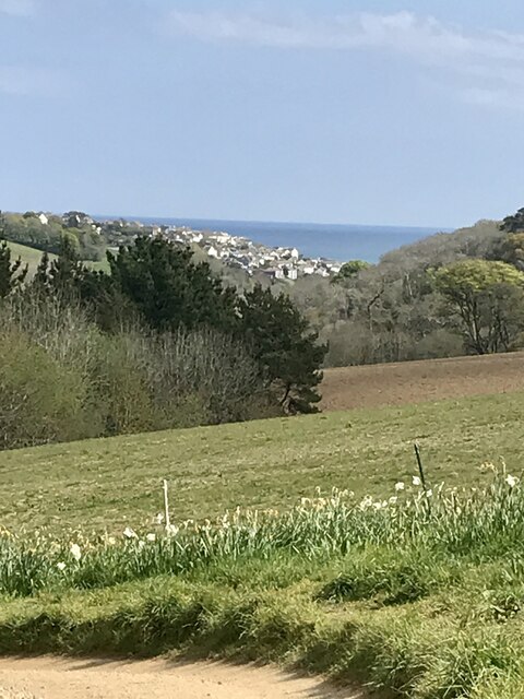
Tregiskey is a small village located in the county of Cornwall, in the southwestern region of England. Situated approximately 6 miles southeast of St Austell, Tregiskey is nestled amidst picturesque countryside, offering residents and visitors a tranquil and scenic setting.
The village is characterized by its charming and traditional stone cottages, which add to the overall rural charm of the area. Tregiskey is surrounded by rolling hills and lush green fields, providing ample opportunities for countryside walks and outdoor activities.
Despite its small size, Tregiskey benefits from a close-knit and friendly community. The village is home to a local pub, where residents often gather to socialize and enjoy a drink or a meal. Additionally, Tregiskey is within close proximity to a range of amenities and services in nearby St Austell, including shops, schools, and healthcare facilities.
For nature enthusiasts, Tregiskey offers easy access to some of Cornwall's most stunning natural attractions. The village is located just a short drive away from the beautiful coastline, where visitors can explore sandy beaches, rugged cliffs, and picturesque coastal paths.
Overall, Tregiskey is a peaceful and idyllic village in Cornwall, offering residents a quiet and rural lifestyle, while still being within reach of essential amenities and the natural beauty of the surrounding area.
If you have any feedback on the listing, please let us know in the comments section below.
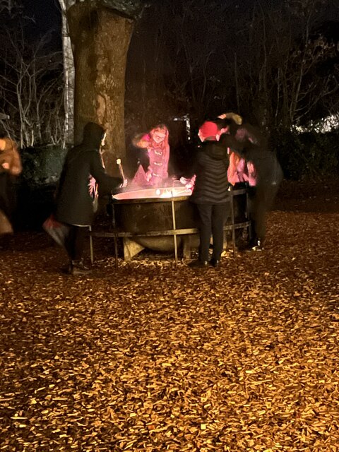
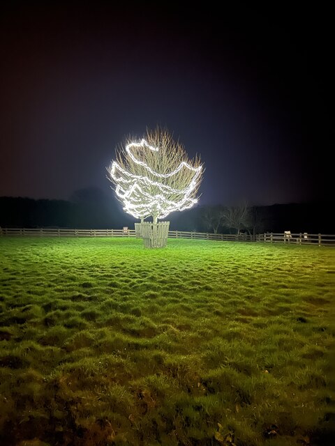
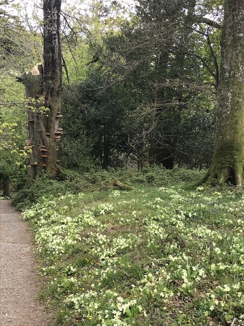
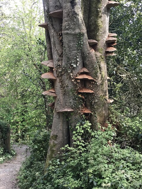
Tregiskey Images
Images are sourced within 2km of 50.283327/-4.7928794 or Grid Reference SX0146. Thanks to Geograph Open Source API. All images are credited.


Tregiskey is located at Grid Ref: SX0146 (Lat: 50.283327, Lng: -4.7928794)
Unitary Authority: Cornwall
Police Authority: Devon and Cornwall
What 3 Words
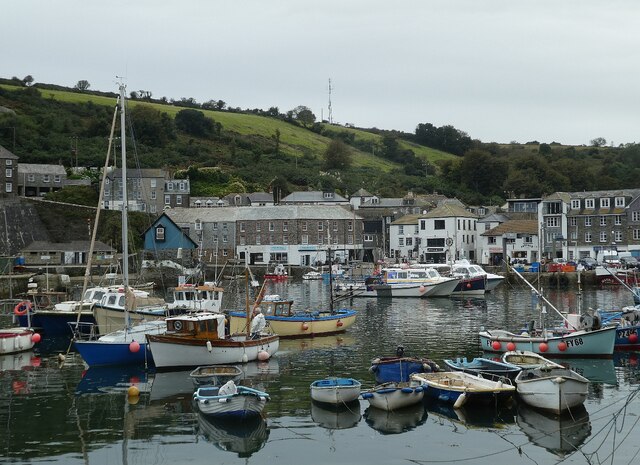
///importers.commoners.reinvest. Near Mevagissey, Cornwall
Nearby Locations
Related Wikis
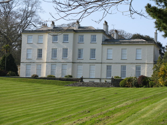
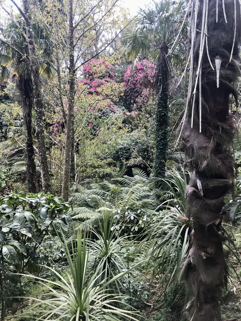
Heligan estate
The Heligan estate (; Cornish: Helygen, meaning willow tree) was the ancestral home of the Tremayne family near Mevagissey in Cornwall, England. Purchased...

Pentewan Valley
Pentewan Valley is one of four new civil parishes created on 1 April 2009 for the St Austell district of mid Cornwall, England, United Kingdom. The population...
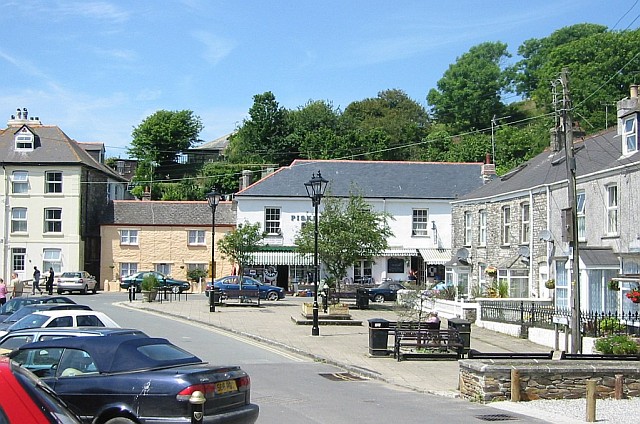
Pentewan
Pentewan (Cornish: Bentewyn, meaning foot of the radiant stream) is a coastal village and former port in south Cornwall, England, United Kingdom. It is...
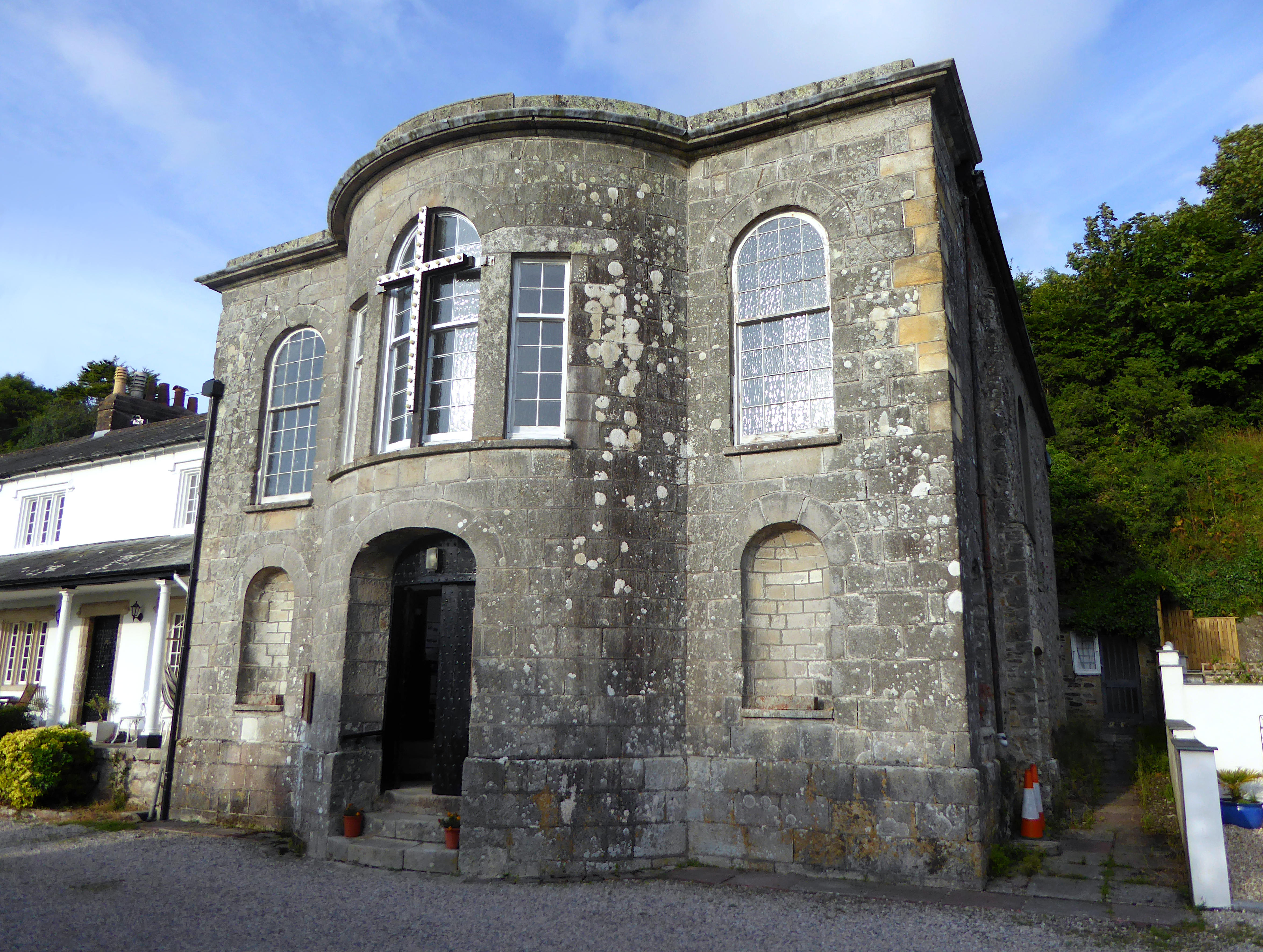
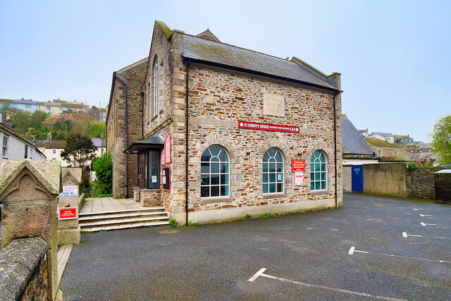
All Saints' Church, Pentewan
All Saints’ Church, Pentewan is a Grade II listed parish church in the Church of England in Pentewan, Cornwall. == History == The church was built in 1821...
Nearby Amenities
Located within 500m of 50.283327,-4.7928794Have you been to Tregiskey?
Leave your review of Tregiskey below (or comments, questions and feedback).