Sconhoe Beach

Beach in Cornwall

England

Sconhoe Beach

Mevagissey - Inner Harbour The inner harbour at Mevagissey is well protected by several breakwaters. As can be seen, it is a popular place to moor boats. There are coastal trips available from this little port.
Mevagissey - Inner Harbour Credit: Rob Farrow

Sconhoe Beach, located in Cornwall, England, is a picturesque coastal destination renowned for its stunning natural beauty and tranquil atmosphere. Situated on the Atlantic coastline, this sandy beach offers visitors a delightful escape from the hustle and bustle of city life.

With its crystal-clear turquoise waters, Sconhoe Beach provides an idyllic spot for swimming and water activities. The beach is well-suited for families and sun-seekers alike, boasting a wide stretch of sand perfect for sunbathing or building sandcastles. Its gently sloping shoreline makes it safe for paddling and swimming, even for younger children.

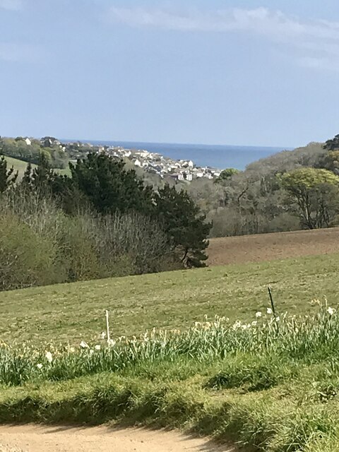
Nature enthusiasts will appreciate the beach's unspoiled surroundings. Backed by rugged cliffs and rolling green hills, Sconhoe Beach offers breathtaking panoramic views of the Atlantic Ocean. Its scenic coastal path attracts hikers and walkers, providing an opportunity to explore the picturesque surroundings and discover hidden coves and rock pools.

Facilities at Sconhoe Beach include clean public toilets, ample parking spaces, and a nearby café serving refreshments and snacks. Lifeguards are present during peak seasons, ensuring the safety of visitors enjoying the water. The beach is also dog-friendly, allowing four-legged friends to enjoy the sand and surf.

Sconhoe Beach benefits from its location within close proximity to charming coastal villages and towns, offering visitors the opportunity to explore the rich cultural heritage and sample local cuisine. Whether one seeks a peaceful day by the sea or an adventure-filled coastal exploration, Sconhoe Beach provides an unforgettable experience for all who visit.

If you have any feedback on the listing, please let us know in the comments section below.

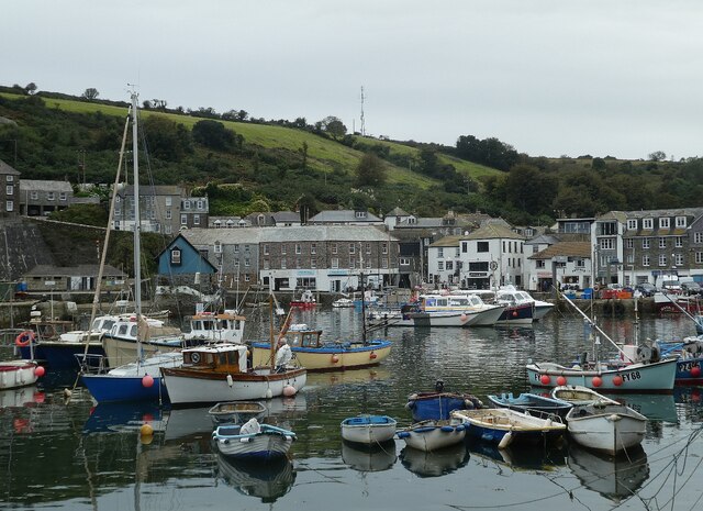
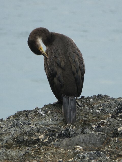
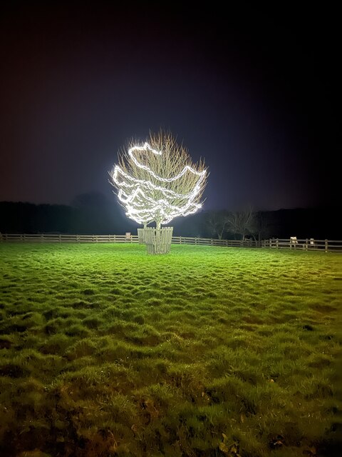
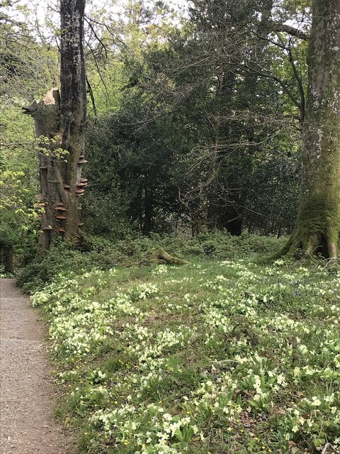
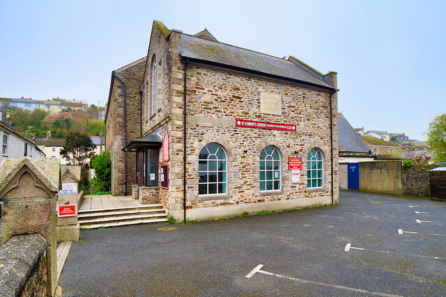
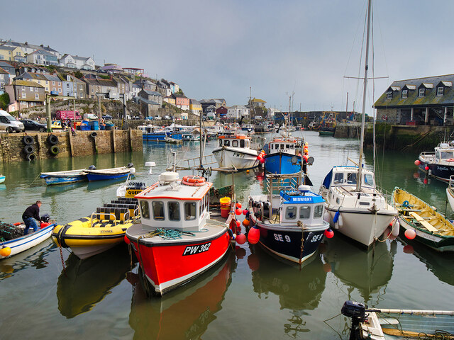
Sconhoe Beach Images

Images are sourced within 2km of 50.287091/-4.781868 or Grid Reference SX0146. Thanks to Geograph Open Source API. All images are credited.

Mevagissey - Inner Harbour The inner harbour at Mevagissey is well protected by several breakwaters. As can be seen, it is a popular place to moor boats. There are coastal trips available from this little port.
Mevagissey - Inner Harbour
The inner harbour at Mevagissey is well protected by several breakwaters. As can be seen, it is a popular place to moor boats. There are coastal trips available from this little port.
Mevagissey - Preening shag I am reliably informed that this is a shag (Gulosus aristotelis) rather than a cormorant (Phalacrocorax carbo) as "the eye is separate from the bare skin at the base of the bill. Other useful signs for a shag are a thin bill, steep forehead, relatively longer tail and slimmer neck" (thanks to Hugh <a title="https://www.geograph.org.uk/profile/3176" href="https://www.geograph.org.uk/profile/3176">Link</a> for this information)
I think it is quite a young bird as it does not seem to have its full adult plumage, and apparently the fact that he has a white chin is indicative of this.
It was busy preening itself on rocks just outside Mevagissey harbour.
Mevagissey - Preening shag
I am reliably informed that this is a shag (Gulosus aristotelis) rather than a cormorant (Phalacrocorax carbo) as "the eye is separate from the bare skin at the base of the bill. Other useful signs for a shag are a thin bill, steep forehead, relatively longer tail and slimmer neck" (thanks to Hugh Link for this information) I think it is quite a young bird as it does not seem to have its full adult plumage, and apparently the fact that he has a white chin is indicative of this. It was busy preening itself on rocks just outside Mevagissey harbour.
Illuminated Tree One of the larger trees and lawn decorations.
Illuminated Tree
One of the larger trees and lawn decorations.
Illuminated Wall and Pond A brightly lit wall and pond.
Illuminated Wall and Pond
A brightly lit wall and pond.
Horse and Stable The prancing horse in his stable.
Horse and Stable
The prancing horse in his stable.
Tree at the Crossroads Well lit tree on the paths crossroads.
Tree at the Crossroads
Well lit tree on the paths crossroads.
Marshmallow Time Visitors toasting Marshmallows.
Marshmallow Time
Visitors toasting Marshmallows.
Field and Tree One of the more distant illuminations.
Field and Tree
One of the more distant illuminations.
Woodland Path Prolific bank of Cowslips at Heligan.
Woodland Path
Prolific bank of Cowslips at Heligan.
Beech Tree Dying Beech tree and associated fungi.
Beech Tree
Dying Beech tree and associated fungi.
Heligan Walk A view from Heligan towards Mevagissey.
Heligan Walk
A view from Heligan towards Mevagissey.
The Jungle Flowering trees and bushes in the Lower Heligan Jungle.
The Jungle
Flowering trees and bushes in the Lower Heligan Jungle.
St Andrew's Church, Mevagissey Congregational School dated 1873. Now a United Reformed/Methodist Church.
St Andrew's Church, Mevagissey
Congregational School dated 1873. Now a United Reformed/Methodist Church.
Mevagissey War Memorial The war memorial is in the form of a Celtic cross with an incised edge detail to the column. It stands on a square plinth with rounded corners, on a square base. On the southeast side of the plinth is a dressed-granite inset with an inscription in black metal lettering.

It is Grade II-listed (List Entry Number: 1420128 <span class="nowrap"><a title="https://historicengland.org.uk/listing/the-list/list-entry/1420128?section=official-list-entry" rel="nofollow ugc noopener" href="https://historicengland.org.uk/listing/the-list/list-entry/1420128?section=official-list-entry">Link</a><img style="margin-left:2px;" alt="External link" title="External link - shift click to open in new window" src="https://s1.geograph.org.uk/img/external.png" width="10" height="10"/></span> Historic England)
Mevagissey War Memorial
The war memorial is in the form of a Celtic cross with an incised edge detail to the column. It stands on a square plinth with rounded corners, on a square base. On the southeast side of the plinth is a dressed-granite inset with an inscription in black metal lettering. It is Grade II-listed (List Entry Number: 1420128 LinkExternal link Historic England)
The War Memorial, Mevagissey The Mevagissey war memorial is in the form of a Celtic cross with an incised edge detail to the column. It stands on a square plinth with rounded corners, on a square base. On the southeast side of the plinth is a dressed-granite inset with an inscription in black metal lettering.

It is Grade II-listed (List Entry Number: 1420128 <span class="nowrap"><a title="https://historicengland.org.uk/listing/the-list/list-entry/1420128?section=official-list-entry" rel="nofollow ugc noopener" href="https://historicengland.org.uk/listing/the-list/list-entry/1420128?section=official-list-entry">Link</a><img style="margin-left:2px;" alt="External link" title="External link - shift click to open in new window" src="https://s1.geograph.org.uk/img/external.png" width="10" height="10"/></span> Historic England)
The War Memorial, Mevagissey
The Mevagissey war memorial is in the form of a Celtic cross with an incised edge detail to the column. It stands on a square plinth with rounded corners, on a square base. On the southeast side of the plinth is a dressed-granite inset with an inscription in black metal lettering. It is Grade II-listed (List Entry Number: 1420128 LinkExternal link Historic England)
Fore Street, Mevagissey Mevagissey is a village and fishing port. The village is situated five miles south of St Austell. 
It nestles in a small valley and faces east to Mevagissey Bay. The inner and outer harbours have a mixture of pleasure vessels and fishing boats, the remains of a once major industry. However, tourism has supplanted fishing as the dominant industry in recent years.
Mevagissey village centre consists of narrow streets with many places to eat and shops aimed at the tourist trade. The outer areas are built on the steep slopes of the surrounding hillsides and are mostly residential.
Fore Street, Mevagissey
Mevagissey is a village and fishing port. The village is situated five miles south of St Austell. It nestles in a small valley and faces east to Mevagissey Bay. The inner and outer harbours have a mixture of pleasure vessels and fishing boats, the remains of a once major industry. However, tourism has supplanted fishing as the dominant industry in recent years. Mevagissey village centre consists of narrow streets with many places to eat and shops aimed at the tourist trade. The outer areas are built on the steep slopes of the surrounding hillsides and are mostly residential.
Mevagissey Inner Harbour Mevagissey is a village and fishing port. The village is situated five miles south of St Austell. 
It nestles in a small valley and faces east to Mevagissey Bay. The inner and outer harbours have a mixture of pleasure vessels and fishing boats, the remains of a once major industry. However, tourism has supplanted fishing as the dominant industry in recent years.
Mevagissey village centre consists of narrow streets with many places to eat and shops aimed at the tourist trade. The outer areas are built on the steep slopes of the surrounding hillsides and are mostly residential.
Mevagissey Inner Harbour
Mevagissey is a village and fishing port. The village is situated five miles south of St Austell. It nestles in a small valley and faces east to Mevagissey Bay. The inner and outer harbours have a mixture of pleasure vessels and fishing boats, the remains of a once major industry. However, tourism has supplanted fishing as the dominant industry in recent years. Mevagissey village centre consists of narrow streets with many places to eat and shops aimed at the tourist trade. The outer areas are built on the steep slopes of the surrounding hillsides and are mostly residential.
The Inner Harbour, Mevagissey Mevagissey is a village and fishing port. The village is situated five miles south of St Austell. 
It nestles in a small valley and faces east to Mevagissey Bay. The inner and outer harbours have a mixture of pleasure vessels and fishing boats, the remains of a once major industry. However, tourism has supplanted fishing as the dominant industry in recent years.
Mevagissey village centre consists of narrow streets with many places to eat and shops aimed at the tourist trade. The outer areas are built on the steep slopes of the surrounding hillsides and are mostly residential.
The Inner Harbour, Mevagissey
Mevagissey is a village and fishing port. The village is situated five miles south of St Austell. It nestles in a small valley and faces east to Mevagissey Bay. The inner and outer harbours have a mixture of pleasure vessels and fishing boats, the remains of a once major industry. However, tourism has supplanted fishing as the dominant industry in recent years. Mevagissey village centre consists of narrow streets with many places to eat and shops aimed at the tourist trade. The outer areas are built on the steep slopes of the surrounding hillsides and are mostly residential.
Show me another place!

Sconhoe Beach is located at Grid Ref: SX0146 (Lat: 50.287091, Lng: -4.781868)

Unitary Authority: Cornwall

Police Authority: Devon and Cornwall

What 3 Words

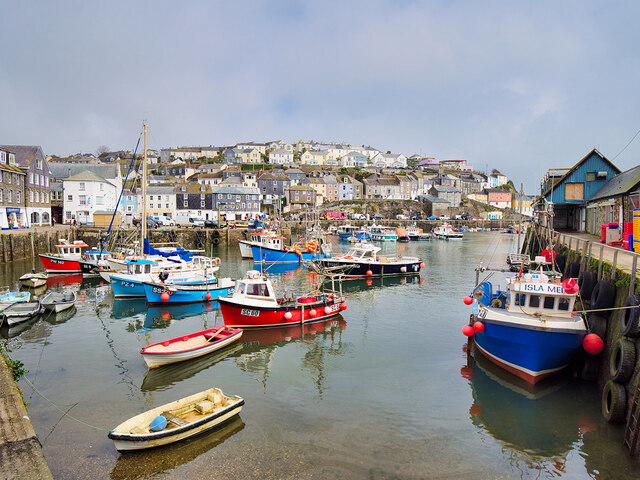
///areas.amazed.persuade. Near Mevagissey, Cornwall

Related Wikis

Pentewan Valley

Pentewan Valley is one of four new civil parishes created on 1 April 2009 for the St Austell district of mid Cornwall, England, United Kingdom. The population...

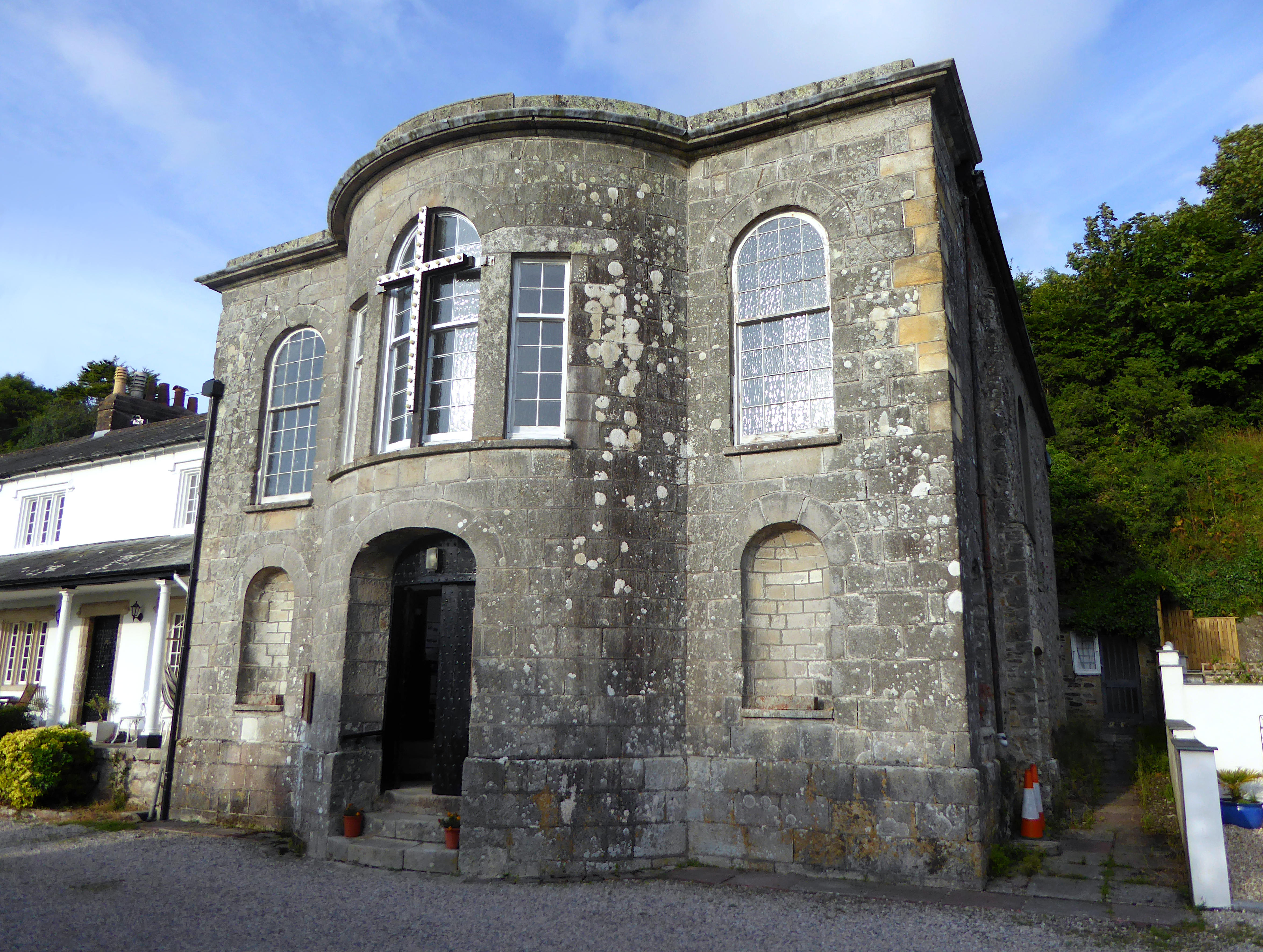
All Saints' Church, Pentewan

All Saints’ Church, Pentewan is a Grade II listed parish church in the Church of England in Pentewan, Cornwall. == History == The church was built in 1821...
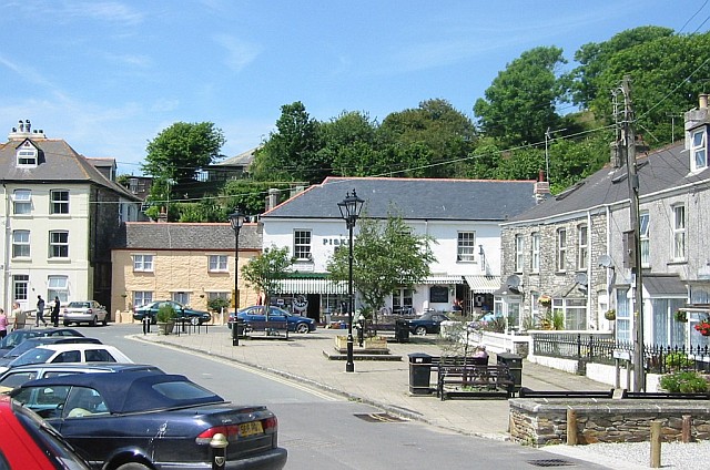
Pentewan

Pentewan (Cornish: Bentewyn, meaning foot of the radiant stream) is a coastal village and former port in south Cornwall, England, United Kingdom. It is...
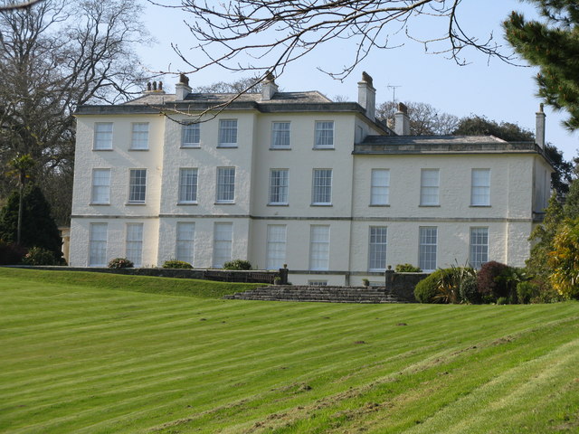
Heligan estate

The Heligan estate (; Cornish: Helygen, meaning willow tree) was the ancestral home of the Tremayne family near Mevagissey in Cornwall, England. Purchased...

Nearby Amenities

Located within 500m of 50.287091,-4.781868
Created By: almien_coastlines
Source: PGS
Lat/Long: 50.282801/-4.781901
Created By: almien_coastlines
Source: PGS
Lat/Long: 50.282917/-4.782705
Created By: almien_coastlines
Source: PGS
Lat/Long: 50.283033/-4.783509
Source: PGS
Lat/Long: 50.2837285/-4.7832028
Source: PGS
Lat/Long: 50.2839945/-4.7831309
Source: PGS
Lat/Long: 50.2848747/-4.7825156
Source: PGS
Lat/Long: 50.2859126/-4.781675
Source: PGS
Lat/Long: 50.2865926/-4.7811482
Source: PGS
Lat/Long: 50.2869964/-4.7806654
Source: PGS
Lat/Long: 50.2875503/-4.7800399
Source: PGS
Lat/Long: 50.2882152/-4.7795276
Source: PGS
Lat/Long: 50.2887633/-4.7792573
Source: PGS
Lat/Long: 50.289325/-4.7787841
Source: PGS
Lat/Long: 50.2896136/-4.7782064
Sconhoe
Name Kw: Heskennow
Place: hamlet
Source: OS_OpenData_StreetView
Lat/Long: 50.28681/-4.7857123
Barrier: kissing_gate
Lat/Long: 50.2834787/-4.7848272
Barrier: kissing_gate
Lat/Long: 50.2846005/-4.7856676
Fixme: incompleate
Lat/Long: 50.2911323/-4.7808844
Barrier: lift_gate
Lat/Long: 50.2880348/-4.7854985
Barrier: lift_gate
Lat/Long: 50.2879511/-4.7854943
Toilets
Female: yes
Male: yes
Lat/Long: 50.2877189/-4.7831056
Colour: blue
Generator Method: photovoltaic
Generator Output Electricity: small_installation
Generator Source: solar
Generator Type: solar_photovoltaic_panel
Power: generator
Lat/Long: 50.2904871/-4.7828797
WW2 Pillbox
Abandoned Building: bunker
Building: bunker
Bunker Type: pillbox
Military: bunker
Lat/Long: 50.2858081/-4.784918
WW2 Searchlight for Coastal Gun Battery
Building: bunker
Bunker Type: searchlight
Military: bunker
Lat/Long: 50.2910277/-4.78066
WW2 Pillbox (site of )
Bunker Type: pillbox
Historic: yes
Lat/Long: 50.2879761/-4.7853538
WW2 Coastal Gun Battery
Building: bunker
Bunker Type: gun_emplacement
Military: bunker
Lat/Long: 50.2911297/-4.7790587
Bench
Survey Date: 2022-04-30
Lat/Long: 50.2903999/-4.7807151
Post Box
Brand: Royal Mail
Brand Wikidata: Q638098
Collection Times: Mo-Fr 09:00, Sa 07:00
Operator: Royal Mail
Operator Wikidata: Q638098
Post Box Type: lamp
Ref: PL26 190D
Royal Cypher: EIIR
Royal Cypher Wikidata: Q33102113
Survey Date: 2022-04-30
Lat/Long: 50.2882067/-4.7860614
Bench
Backrest: yes
Survey Date: 2022-04-30
Lat/Long: 50.2903871/-4.7807245
Fire Hydrant
Emergency: fire_hydrant
Fire Hydrant Type: underground
Survey Date: 2022-04-30
Lat/Long: 50.2885351/-4.7863008
Bench
Backrest: yes
Survey Date: 2022-04-30
Lat/Long: 50.2886254/-4.7865427
The data included in this document is from www.openstreetmap.org. The data is made available under ODbL.

Have you been to Sconhoe Beach?

Leave your review of Sconhoe Beach below (or comments, questions and feedback).