Pentewan Beach

Beach in Cornwall

England

Pentewan Beach

Woodland Path Prolific bank of Cowslips at Heligan.
Woodland Path Credit: Jay Pea

Pentewan Beach is a picturesque seaside destination located in Cornwall, England. Situated on the south coast, it is nestled between the popular towns of Mevagissey and St Austell. This sandy beach stretches for approximately half a mile and is a popular spot for both locals and tourists.

The beach offers stunning views of the clear turquoise waters of the English Channel, with a backdrop of rugged cliffs and lush greenery. Its gently sloping shoreline makes it an ideal spot for swimming and water sports activities such as kayaking and paddleboarding. Lifeguards are also present during peak seasons to ensure the safety of beachgoers.

Pentewan Beach is known for its clean and well-maintained facilities. It boasts ample parking spaces, making it easily accessible for visitors. Additionally, there are toilets and outdoor showers available for public use. The beach is also wheelchair accessible, with ramps leading down to the sand.

For those seeking refreshments or a quick bite to eat, there are several cafes and restaurants located nearby. Visitors can enjoy a delicious meal while taking in the breathtaking views of the beach.

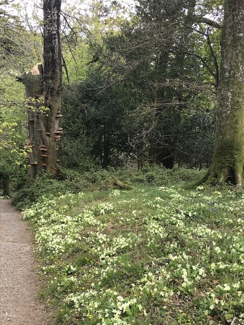
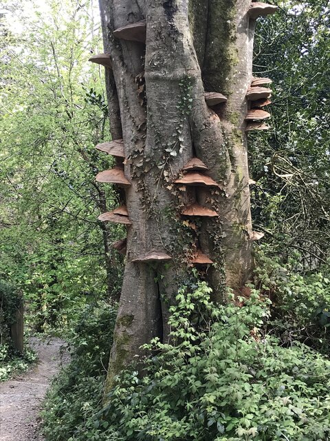
The area surrounding Pentewan Beach is rich in natural beauty, with numerous walking trails and cycling paths. The South West Coast Path offers stunning vistas and opportunities to explore the nearby villages and countryside. Pentewan village itself has a charming atmosphere and is worth a visit.

Overall, Pentewan Beach is a delightful destination that offers a perfect blend of natural beauty, recreational activities, and amenities, making it a must-visit spot for beach lovers and holidaymakers in Cornwall.

If you have any feedback on the listing, please let us know in the comments section below.

Pentewan Beach Images

Images are sourced within 2km of 50.289313/-4.7788386 or Grid Reference SX0246. Thanks to Geograph Open Source API. All images are credited.

Woodland Path Prolific bank of Cowslips at Heligan.
Woodland Path
Prolific bank of Cowslips at Heligan.
Beech Tree Dying Beech tree and associated fungi.
Beech Tree
Dying Beech tree and associated fungi.
Stone Stile SX0047a At the bottom of the track from the road at Peruppa.
Cattle stile with two steps each side and two top stones, one above the other.
Public footpath 42/3/1 (gold) from Peruppa to Pentewan.
From Pentewan the path crosses five fields then stile (SX0047b) is crossed into woodland and this stile (SX0047a) is fairly close and takes you onto a farm track which joins the road at Peruppa near a narrow bridge.
Stone Stile SX0047a
At the bottom of the track from the road at Peruppa. Cattle stile with two steps each side and two top stones, one above the other. Public footpath 42/3/1 (gold) from Peruppa to Pentewan. From Pentewan the path crosses five fields then stile (SX0047b) is crossed into woodland and this stile (SX0047a) is fairly close and takes you onto a farm track which joins the road at Peruppa near a narrow bridge.
Stone Stile SX0047b Where path from Peruppa leaves woodland to cross open fields to Pentewan.
Cattle stile with two steps each side and two top stones, one above the other.
Public footpath 42/3/1 gold from Peruppa to Pentewan. Crosses five fields which are usually planted with various crops.
From Pentewan the path crosses five fields then this stile (SX0047b) is crossed into woodland and the next stile (SX0047a) is fairly close and takes you onto a farm track which joins the road at Peruppa near a narrow bridge.
Stone Stile SX0047b
Where path from Peruppa leaves woodland to cross open fields to Pentewan. Cattle stile with two steps each side and two top stones, one above the other. Public footpath 42/3/1 gold from Peruppa to Pentewan. Crosses five fields which are usually planted with various crops. From Pentewan the path crosses five fields then this stile (SX0047b) is crossed into woodland and the next stile (SX0047a) is fairly close and takes you onto a farm track which joins the road at Peruppa near a narrow bridge.
B3273 into Mevagissey
B3273 near Pentewan
B3273 near Pentewan
Laybys on the B3273 above Sconhoe Beach
Pentewan Sands Holiday Park
B3273 near to Pentewan
Cyclist on the B3273 near to Pentewan
B3273 Pentewan Turn Bus Stop
B3273, Pentewan
B3273, Pentewan
St Peter's Church
St Peter's Church
St Peter's Church
St Peter's Church
Inside St Peter's Church
Church of All Saints
Former Wesleyan Chapel
Site of Bible Christian chapel
Show me another place!

Pentewan Beach is located at Grid Ref: SX0246 (Lat: 50.289313, Lng: -4.7788386)

Unitary Authority: Cornwall

Police Authority: Devon and Cornwall

What 3 Words

///bends.counts.assume. Near Mevagissey, Cornwall

Nearby Locations

Pentewan Beach

Related Wikis

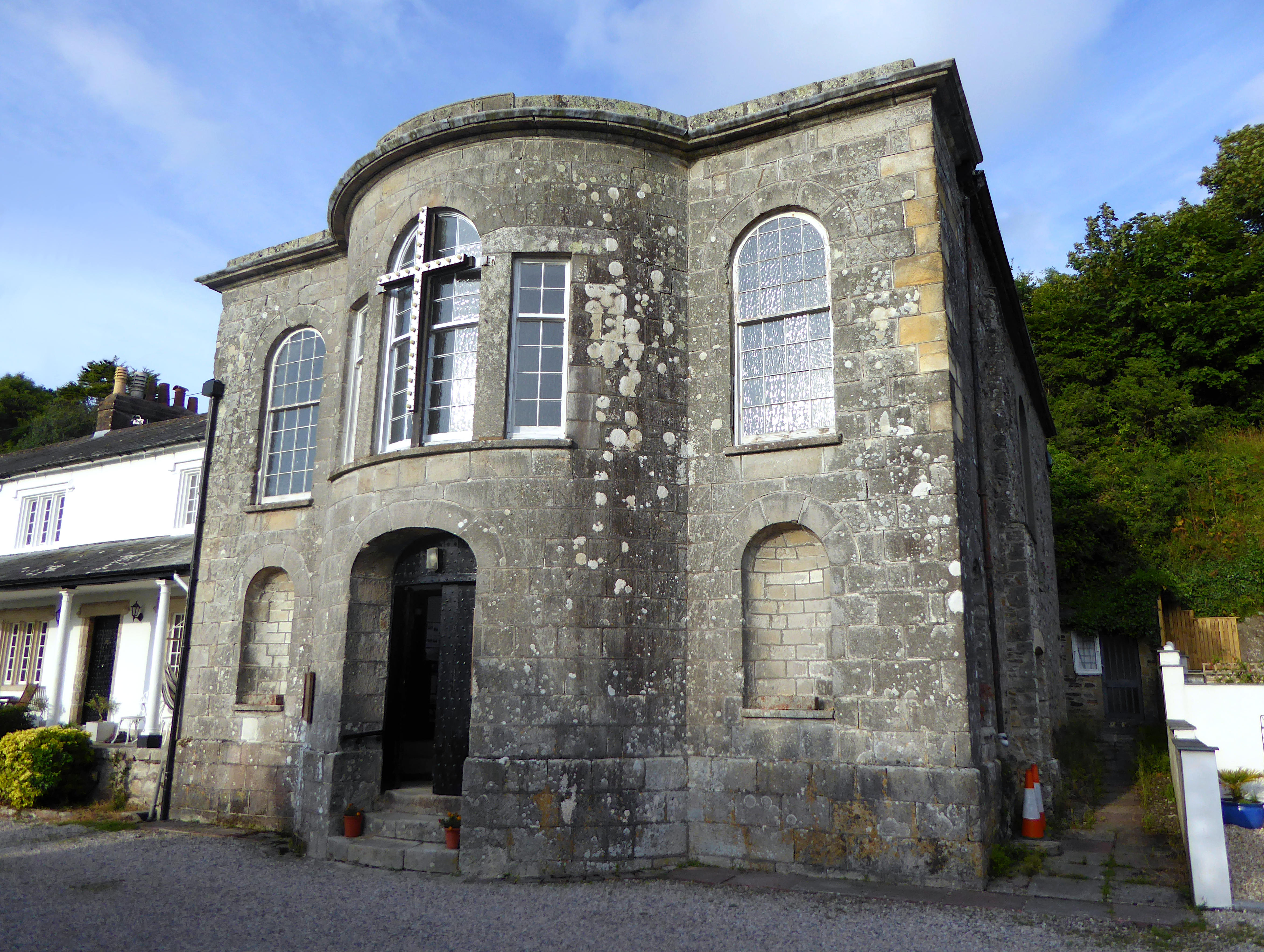
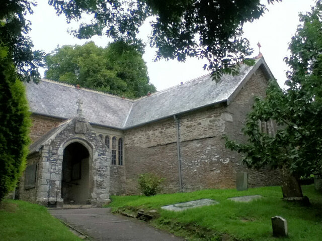
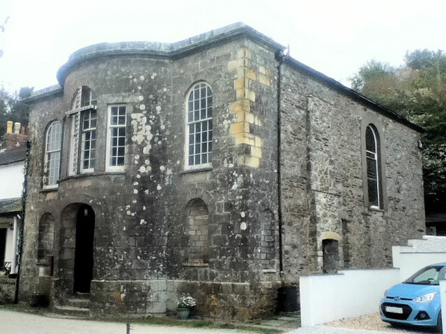
All Saints' Church, Pentewan

All Saints’ Church, Pentewan is a Grade II listed parish church in the Church of England in Pentewan, Cornwall. == History == The church was built in 1821...
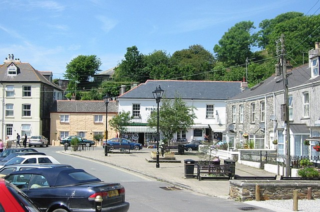
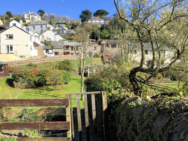
Pentewan

Pentewan (Cornish: Bentewyn, meaning foot of the radiant stream) is a coastal village and former port in south Cornwall, England, United Kingdom. It is...

Pentewan Valley

Pentewan Valley is one of four new civil parishes created on 1 April 2009 for the St Austell district of mid Cornwall, England, United Kingdom. The population...

Heligan estate

The Heligan estate (; Cornish: Helygen, meaning willow tree) was the ancestral home of the Tremayne family near Mevagissey in Cornwall, England. Purchased...

Nearby Amenities

Located within 500m of 50.289313,-4.7788386
Source: PGS
Lat/Long: 50.2859126/-4.781675
Source: PGS
Lat/Long: 50.2865926/-4.7811482
Source: PGS
Lat/Long: 50.2869964/-4.7806654
Source: PGS
Lat/Long: 50.2875503/-4.7800399
Source: PGS
Lat/Long: 50.2882152/-4.7795276
Source: PGS
Lat/Long: 50.2887633/-4.7792573
Source: PGS
Lat/Long: 50.289325/-4.7787841
Source: PGS
Lat/Long: 50.2896136/-4.7782064
Source: PGS
Lat/Long: 50.2906415/-4.777288
Source: PGS
Lat/Long: 50.290977/-4.7772043
Source: PGS
Lat/Long: 50.2915206/-4.7758696
Created By: almien_coastlines
Source: PGS
Lat/Long: 50.291487/-4.775423
Created By: almien_coastlines
Source: PGS
Lat/Long: 50.291619/-4.775228
Created By: almien_coastlines
Source: PGS
Lat/Long: 50.29175/-4.775032
Created By: almien_coastlines
Source: PGS
Lat/Long: 50.292024/-4.773842
Created By: almien_coastlines
Source: PGS
Lat/Long: 50.292156/-4.773648
Pentewan
Name Ar: بنتون
Name En: Pentewan
Name Kw: Bentewyn
Place: village
Wikidata: Q7165148
Wikipedia: en:Pentewan
Lat/Long: 50.2921821/-4.78189
Pub
The Ship Inn
Addr City: St Austell
Addr Country: GB
Addr Hamlet: Pentewan
Addr Housename: The Ship Inn
Addr Housenumber: 31
Addr Postcode: PL26 6BX
Addr Street: West End
Fhrs Id: 516141
Source Addr: FHRS Open Data
Lat/Long: 50.291692/-4.7827607
Toilets
Charge: 0.20 GBP
Check Date: 2022-04-30
Fee: yes
Wheelchair: yes
Lat/Long: 50.2919551/-4.7817186
Cafe
Cobweb's Tea Shop
Lat/Long: 50.2917663/-4.7825195
Cafe
The Cove
Addr City: St Austell
Addr Country: GB
Addr Housename: Piskey Cove
Addr Housenumber: 3
Addr Place: Pentewan
Addr Postcode: PL26 6DA
Addr Street: The Square
Fhrs Id: 449400
Source Addr: FHRS Open Data
Lat/Long: 50.2921218/-4.7822483
Fixme: incompleate
Lat/Long: 50.2911323/-4.7808844
Telephone
Booth: K6
Covered: booth
Survey Date: 2022-04-30
Lat/Long: 50.2919285/-4.7818357
Shop: convenience
Lat/Long: 50.2920403/-4.7822543
Post Box
Collection Times: Mo-Fr 09:00; Sa 07:00
Post Box Type: lamp
Ref: PL26 239D
Royal Cypher: EIIR
Royal Cypher Wikidata: Q33102113
Lat/Long: 50.2920973/-4.7817311
Barrier: lift_gate
Lat/Long: 50.2880348/-4.7854985
Barrier: lift_gate
Lat/Long: 50.2879511/-4.7854943
Toilets
Female: yes
Male: yes
Lat/Long: 50.2877189/-4.7831056
Colour: blue
Generator Method: photovoltaic
Generator Output Electricity: small_installation
Generator Source: solar
Generator Type: solar_photovoltaic_panel
Power: generator
Lat/Long: 50.2904871/-4.7828797
Weighbridge
Access: no
Lat/Long: 50.291618/-4.7832973
WW2 Searchlight for Coastal Gun Battery
Building: bunker
Bunker Type: searchlight
Military: bunker
Lat/Long: 50.2910277/-4.78066
WW2 Pillbox (site of )
Bunker Type: pillbox
Historic: yes
Lat/Long: 50.2879761/-4.7853538
WW2 Pillbox
Building: bunker
Bunker Type: pillbox
Military: bunker
Lat/Long: 50.2921484/-4.7827333
WW2 Coastal Gun Battery
Building: bunker
Bunker Type: gun_emplacement
Military: bunker
Lat/Long: 50.2911297/-4.7790587
Generator Method: photovoltaic
Generator Output Electricity: yes
Generator Source: solar
Generator Type: solar_photovoltaic_panel
Location: roof
Power: generator
Lat/Long: 50.2926697/-4.7834341
Generator Method: photovoltaic
Generator Output Electricity: yes
Generator Source: solar
Generator Type: solar_photovoltaic_panel
Location: roof
Power: generator
Lat/Long: 50.2926157/-4.7833657
Generator Method: photovoltaic
Generator Output Electricity: yes
Generator Source: solar
Generator Type: solar_photovoltaic_panel
Location: roof
Power: generator
Lat/Long: 50.2929207/-4.7799674
Bench
Backrest: yes
Survey Date: 2022-04-30
Lat/Long: 50.2920695/-4.781718
Grit Bin
Survey Date: 2022-04-30
Lat/Long: 50.2920317/-4.7814316
Waste Basket
Survey Date: 2022-04-30
Lat/Long: 50.2919316/-4.7818162
Bench
Survey Date: 2022-04-30
Lat/Long: 50.2915734/-4.7828478
Bench
Survey Date: 2022-04-30
Lat/Long: 50.2915718/-4.7828047
Life Ring
Emergency: life_ring
Survey Date: 2022-04-30
Lat/Long: 50.2916285/-4.7824016
Waste Basket
Survey Date: 2022-04-30
Lat/Long: 50.2919873/-4.7815943
Bench
Backrest: yes
Survey Date: 2022-04-30
Lat/Long: 50.2920857/-4.781726
Bench
Backrest: yes
Survey Date: 2022-04-30
Lat/Long: 50.292058/-4.7819171
Fire Hydrant
Emergency: fire_hydrant
Fire Hydrant Type: underground
Survey Date: 2022-04-30
Lat/Long: 50.2920362/-4.7816829
Bench
Backrest: yes
Survey Date: 2022-04-30
Lat/Long: 50.2920685/-4.781795
Bench
Survey Date: 2022-04-30
Lat/Long: 50.2920271/-4.7820456
Bench
Survey Date: 2022-04-30
Lat/Long: 50.2920737/-4.7820467
Bench
Survey Date: 2022-04-30
Lat/Long: 50.2917104/-4.7822148
Bench
Survey Date: 2022-04-30
Lat/Long: 50.2903999/-4.7807151
Waste Basket
Survey Date: 2022-04-30
Lat/Long: 50.2920251/-4.7838725
Waste Basket
Survey Date: 2022-04-30
Lat/Long: 50.2920552/-4.7818174
Waste Basket
Survey Date: 2022-04-30
Lat/Long: 50.2920553/-4.7818287
Bench
Backrest: yes
Survey Date: 2022-04-30
Lat/Long: 50.2919361/-4.7817975
Bicycle Parking
Bicycle Parking: stands
Capacity: 8
Covered: yes
Survey Date: 2022-04-30
Lat/Long: 50.2919866/-4.7820928
Waste Basket
Survey Date: 2022-04-30
Lat/Long: 50.2920108/-4.7820652
Fire Hydrant
Emergency: fire_hydrant
Fire Hydrant Type: underground
Survey Date: 2022-04-30
Lat/Long: 50.291657/-4.7827161
Bench
Survey Date: 2022-04-30
Lat/Long: 50.2917167/-4.7823235
Waste Basket
Survey Date: 2022-04-30
Lat/Long: 50.291577/-4.782767
Defibrillator
Defibrillator Location: outside toilets in The Square, Pentewan
Emergency: defibrillator
Indoor: no
Survey Date: 2022-04-30
Lat/Long: 50.2919487/-4.7817677
Bench
Backrest: yes
Survey Date: 2022-04-30
Lat/Long: 50.2903871/-4.7807245
Post Office
Pentewan Post Office
Addr City: St Austell
Addr Housename: The Ship Inn
Addr Housenumber: 31-33
Addr Postcode: PL26 6BX
Addr Street: West End
Addr Village: Pentewan
Brand: Post Office
Brand Wikidata: Q1783168
Opening Hours: Tu,Th 09:30-11:30
Ref Pol Id: 177886
Source: pol_branch_list_2022‑05‑27
Lat/Long: 50.2917024/-4.7828108
Source: PGS
Lat/Long: 50.2914859/-4.776169
The data included in this document is from www.openstreetmap.org. The data is made available under ODbL.

Have you been to Pentewan Beach?

Leave your review of Pentewan Beach below (or comments, questions and feedback).