Colona Beach

Beach in Cornwall

England

Colona Beach

Mevagissey - Inner Harbour The inner harbour at Mevagissey is well protected by several breakwaters. As can be seen, it is a popular place to moor boats. There are coastal trips available from this little port.
Mevagissey - Inner Harbour Credit: Rob Farrow

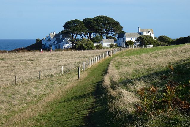
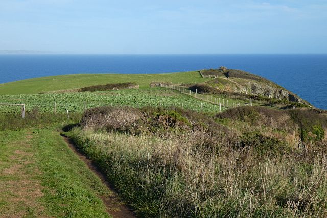
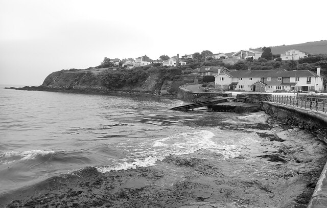
Colona Beach, located in Cornwall, England, is a picturesque and popular beach known for its stunning natural beauty and serene atmosphere. Situated on the southeastern coast of the country, this sandy stretch of shoreline offers visitors a delightful escape from the hustle and bustle of daily life.

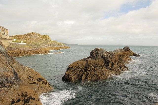
With its golden sands and crystal-clear turquoise waters, Colona Beach is a paradise for beach lovers and outdoor enthusiasts. The beach is nestled between towering cliffs and rolling hills, providing a breathtaking backdrop for sunbathing, picnicking, and leisurely walks. The calm and gentle waves make it an ideal spot for swimming, paddleboarding, and other water sports.

Colona Beach has been awarded the Blue Flag status, a testament to its excellent water quality and safety standards. The beach is meticulously maintained, boasting clean facilities, including public toilets and ample parking spaces. Lifeguards are also present during peak seasons, ensuring the safety of visitors.

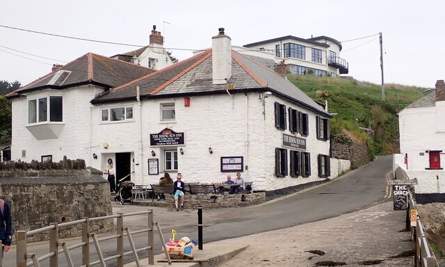
Beyond its natural beauty, Colona Beach offers a range of amenities to enhance visitors' experience. There are several cafes, restaurants, and shops nearby, providing a variety of dining options and opportunities to purchase souvenirs or beach gear.

Whether one seeks relaxation, outdoor activities, or simply breathtaking views, Colona Beach in Cornwall offers something for everyone. Its idyllic setting, combined with its well-maintained facilities and range of amenities, make it a must-visit destination for locals and tourists alike.

If you have any feedback on the listing, please let us know in the comments section below.
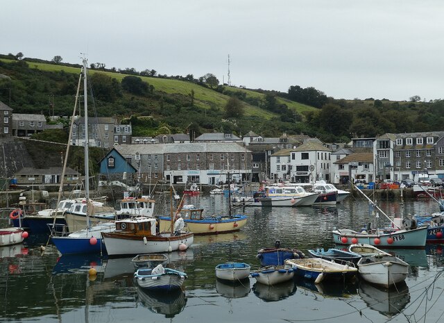
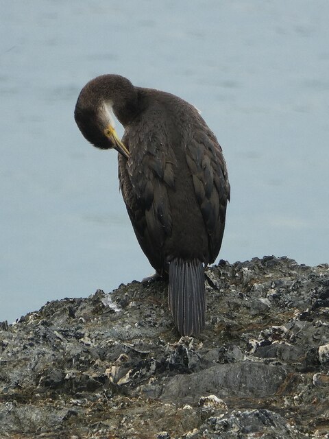
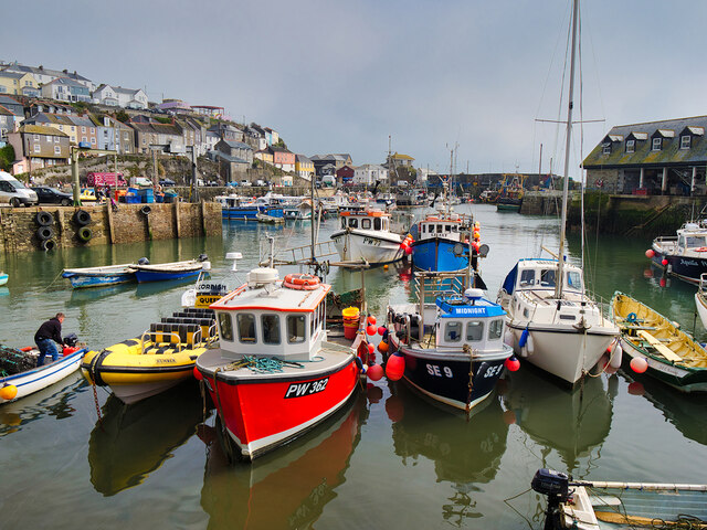
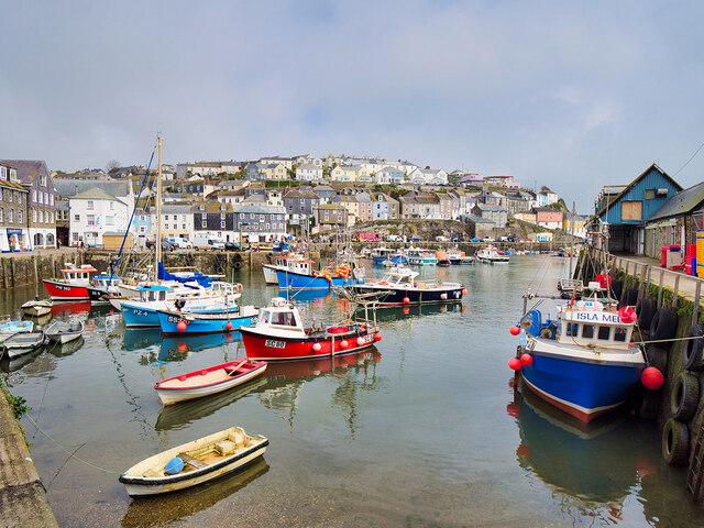
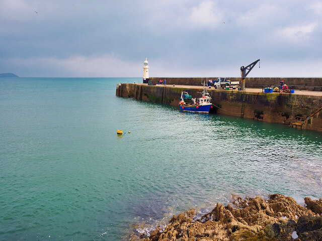
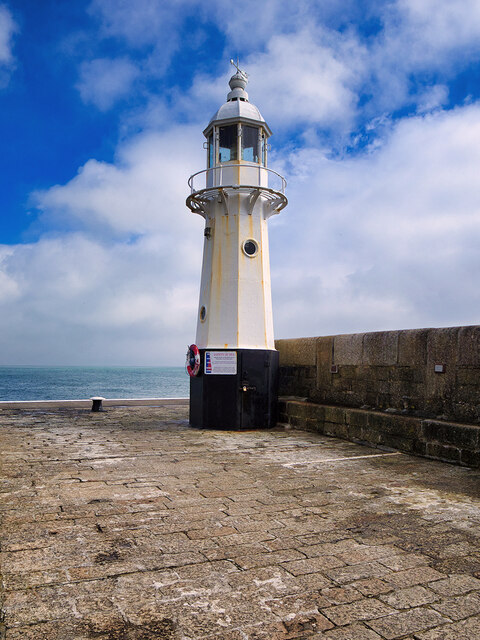
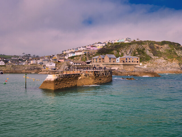
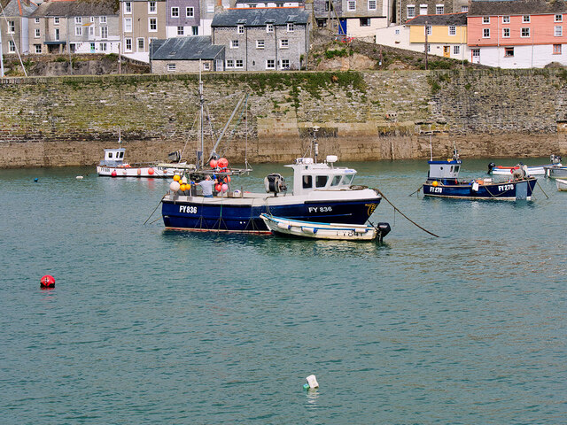
Colona Beach Images

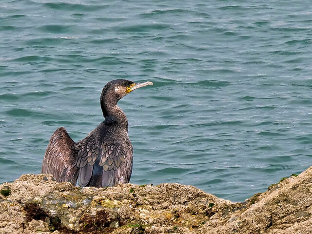
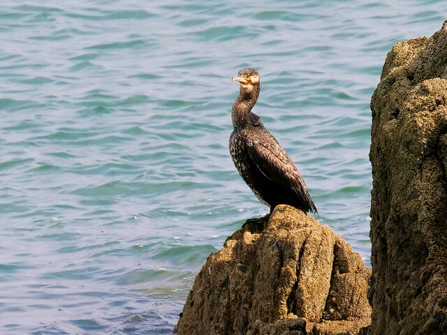
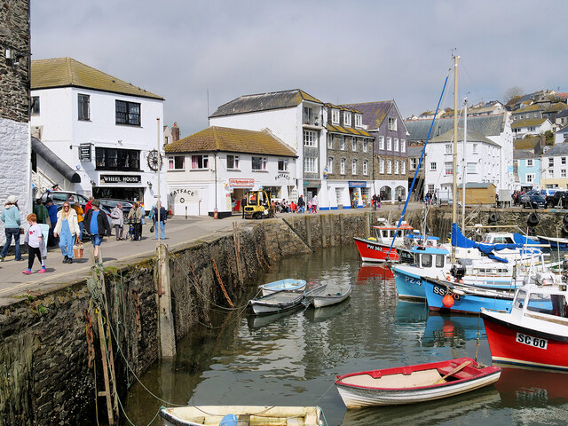
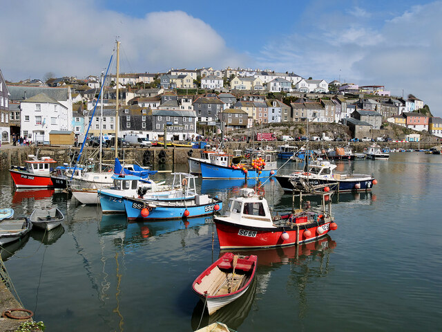
Images are sourced within 2km of 50.255624/-4.7695108 or Grid Reference SX0243. Thanks to Geograph Open Source API. All images are credited.

Mevagissey - Inner Harbour The inner harbour at Mevagissey is well protected by several breakwaters. As can be seen, it is a popular place to moor boats. There are coastal trips available from this little port.
Mevagissey - Inner Harbour
The inner harbour at Mevagissey is well protected by several breakwaters. As can be seen, it is a popular place to moor boats. There are coastal trips available from this little port.
Mevagissey - Preening shag I am reliably informed that this is a shag (Gulosus aristotelis) rather than a cormorant (Phalacrocorax carbo) as "the eye is separate from the bare skin at the base of the bill. Other useful signs for a shag are a thin bill, steep forehead, relatively longer tail and slimmer neck" (thanks to Hugh <a title="https://www.geograph.org.uk/profile/3176" href="https://www.geograph.org.uk/profile/3176">Link</a> for this information)
I think it is quite a young bird as it does not seem to have its full adult plumage, and apparently the fact that he has a white chin is indicative of this.
It was busy preening itself on rocks just outside Mevagissey harbour.
Mevagissey - Preening shag
I am reliably informed that this is a shag (Gulosus aristotelis) rather than a cormorant (Phalacrocorax carbo) as "the eye is separate from the bare skin at the base of the bill. Other useful signs for a shag are a thin bill, steep forehead, relatively longer tail and slimmer neck" (thanks to Hugh Link for this information) I think it is quite a young bird as it does not seem to have its full adult plumage, and apparently the fact that he has a white chin is indicative of this. It was busy preening itself on rocks just outside Mevagissey harbour.
Mevagissey Inner Harbour Mevagissey is a village and fishing port. The village is situated five miles south of St Austell. 
It nestles in a small valley and faces east to Mevagissey Bay. The inner and outer harbours have a mixture of pleasure vessels and fishing boats, the remains of a once major industry. However, tourism has supplanted fishing as the dominant industry in recent years.
Mevagissey village centre consists of narrow streets with many places to eat and shops aimed at the tourist trade. The outer areas are built on the steep slopes of the surrounding hillsides and are mostly residential.
Mevagissey Inner Harbour
Mevagissey is a village and fishing port. The village is situated five miles south of St Austell. It nestles in a small valley and faces east to Mevagissey Bay. The inner and outer harbours have a mixture of pleasure vessels and fishing boats, the remains of a once major industry. However, tourism has supplanted fishing as the dominant industry in recent years. Mevagissey village centre consists of narrow streets with many places to eat and shops aimed at the tourist trade. The outer areas are built on the steep slopes of the surrounding hillsides and are mostly residential.
The Inner Harbour, Mevagissey Mevagissey is a village and fishing port. The village is situated five miles south of St Austell. 
It nestles in a small valley and faces east to Mevagissey Bay. The inner and outer harbours have a mixture of pleasure vessels and fishing boats, the remains of a once major industry. However, tourism has supplanted fishing as the dominant industry in recent years.
Mevagissey village centre consists of narrow streets with many places to eat and shops aimed at the tourist trade. The outer areas are built on the steep slopes of the surrounding hillsides and are mostly residential.
The Inner Harbour, Mevagissey
Mevagissey is a village and fishing port. The village is situated five miles south of St Austell. It nestles in a small valley and faces east to Mevagissey Bay. The inner and outer harbours have a mixture of pleasure vessels and fishing boats, the remains of a once major industry. However, tourism has supplanted fishing as the dominant industry in recent years. Mevagissey village centre consists of narrow streets with many places to eat and shops aimed at the tourist trade. The outer areas are built on the steep slopes of the surrounding hillsides and are mostly residential.
Mevagissey, Victoria Pier The two outer breakwaters (the North Pier and the Victoria Pier) were completed in 1888, providing Mevagissey with an outer harbour that protects the village and its fishing fleet from south-easterly storms.
Mevagissey, Victoria Pier
The two outer breakwaters (the North Pier and the Victoria Pier) were completed in 1888, providing Mevagissey with an outer harbour that protects the village and its fishing fleet from south-easterly storms.
Lighthouse on Victoria Pier, Mevagissey Victoria Pier Head lighthouse was constructed in 1896. It is still active.
Lighthouse on Victoria Pier, Mevagissey
Victoria Pier Head lighthouse was constructed in 1896. It is still active.
Mevagissey North Pier and Outer Harbour The two outer breakwaters (the North Pier and the Victoria Pier) were completed in 1888, providing Mevagissey with an outer harbour that protects the village and its fishing fleet from south-easterly storms.
Mevagissey North Pier and Outer Harbour
The two outer breakwaters (the North Pier and the Victoria Pier) were completed in 1888, providing Mevagissey with an outer harbour that protects the village and its fishing fleet from south-easterly storms.
Fishing Boats in Mevagissey Outer Harbour Mevagissey is a village and fishing port. The village is situated five miles south of St Austell. 
It nestles in a small valley and faces east to Mevagissey Bay. The inner and outer harbours have a mixture of pleasure vessels and fishing boats, the remains of a once major industry. However, tourism has supplanted fishing as the dominant industry in recent years.
Mevagissey village centre consists of narrow streets with many places to eat and shops aimed at the tourist trade. The outer areas are built on the steep slopes of the surrounding hillsides and are mostly residential.
Fishing Boats in Mevagissey Outer Harbour
Mevagissey is a village and fishing port. The village is situated five miles south of St Austell. It nestles in a small valley and faces east to Mevagissey Bay. The inner and outer harbours have a mixture of pleasure vessels and fishing boats, the remains of a once major industry. However, tourism has supplanted fishing as the dominant industry in recent years. Mevagissey village centre consists of narrow streets with many places to eat and shops aimed at the tourist trade. The outer areas are built on the steep slopes of the surrounding hillsides and are mostly residential.
Cormorant (Phalacrocorax carbo) at Mevagissey Harbour Black sea bird, about the size of a goose on the rocks at Mevagissey Harbour.
Cormorant (Phalacrocorax carbo) at Mevagissey Harbour
Black sea bird, about the size of a goose on the rocks at Mevagissey Harbour.
Cormorant at Mevagissey Black sea bird, about the size of a goose on the rocks at Mevagissey Harbour.
Cormorant at Mevagissey
Black sea bird, about the size of a goose on the rocks at Mevagissey Harbour.
West Wharf, Mevagissey Inner Harbour Mevagissey is a village and fishing port. The village is situated five miles south of St Austell. 
It nestles in a small valley and faces east to Mevagissey Bay. The inner and outer harbours have a mixture of pleasure vessels and fishing boats, the remains of a once major industry. However, tourism has supplanted fishing as the dominant industry in recent years.
Mevagissey village centre consists of narrow streets with many places to eat and shops aimed at the tourist trade. The outer areas are built on the steep slopes of the surrounding hillsides and are mostly residential.
West Wharf, Mevagissey Inner Harbour
Mevagissey is a village and fishing port. The village is situated five miles south of St Austell. It nestles in a small valley and faces east to Mevagissey Bay. The inner and outer harbours have a mixture of pleasure vessels and fishing boats, the remains of a once major industry. However, tourism has supplanted fishing as the dominant industry in recent years. Mevagissey village centre consists of narrow streets with many places to eat and shops aimed at the tourist trade. The outer areas are built on the steep slopes of the surrounding hillsides and are mostly residential.
Inner Harbour (East Wharf) Looking across the inner harbour at Mevagissey, from the West Wharf, towards the East Wharf.
Inner Harbour (East Wharf)
Looking across the inner harbour at Mevagissey, from the West Wharf, towards the East Wharf.
Coastal pasture, Mevagissey The coast path south of Portmellon approached Chapel Point.
Coastal pasture, Mevagissey
The coast path south of Portmellon approached Chapel Point.
Clifftop and farmland, St Goran The coast path above Pabyer Point roughly midway between Gorran Haven and Portmellon.
Clifftop and farmland, St Goran
The coast path above Pabyer Point roughly midway between Gorran Haven and Portmellon.
Mevagissey Harbour Inner harbour at Mevagissey
Mevagissey Harbour
Inner harbour at Mevagissey
Mevagissey coastline Rocks and rugged coastline beyond the North Pier wall
Mevagissey coastline
Rocks and rugged coastline beyond the North Pier wall
Portmellon - view across the cove Looking across the cove at Portmellon where the sea laps the wall at high tide - as a consequence there is a nearby road-sign warning to "Beware of waves".
Portmellon - view across the cove
Looking across the cove at Portmellon where the sea laps the wall at high tide - as a consequence there is a nearby road-sign warning to "Beware of waves".
Portmellon - The Rising Sun The Rising Sun public house is a C17th (according to them, but C18th according to EH) pub beside the sea in the coastal village of  Portmellon just to the south of Mevagissey. Their own website here: <span class="nowrap"><a title="https://therisingsuninn.com" rel="nofollow ugc noopener" href="https://therisingsuninn.com">Link</a><img style="margin-left:2px;" alt="External link" title="External link - shift click to open in new window" src="https://s1.geograph.org.uk/img/external.png" width="10" height="10"/></span>
It is EH Grade II listed: <span class="nowrap"><a title="https://historicengland.org.uk/listing/the-list/list-entry/1289836?section=official-list-entry" rel="nofollow ugc noopener" href="https://historicengland.org.uk/listing/the-list/list-entry/1289836?section=official-list-entry">Link</a><img style="margin-left:2px;" alt="External link" title="External link - shift click to open in new window" src="https://s1.geograph.org.uk/img/external.png" width="10" height="10"/></span>
Portmellon - The Rising Sun
The Rising Sun public house is a C17th (according to them, but C18th according to EH) pub beside the sea in the coastal village of Portmellon just to the south of Mevagissey. Their own website here: LinkExternal link It is EH Grade II listed: LinkExternal link
Show me another place!

Colona Beach is located at Grid Ref: SX0243 (Lat: 50.255624, Lng: -4.7695108)

Unitary Authority: Cornwall

Police Authority: Devon and Cornwall

What 3 Words

///deflation.detective.relishing. Near Mevagissey, Cornwall

Related Wikis

Portmellon

Portmellon (Cornish: Porthmelin) is a coastal settlement in south Cornwall, England, United Kingdom. It is one mile south of Mevagissey and six miles south...
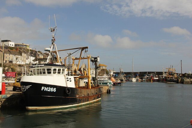
Mevagissey

Mevagissey (; Cornish: Lannvorek) is a village, fishing port and civil parish in Cornwall, England, United Kingdom. The village is situated approximately...

Gorran Haven

Gorran Haven (Cornish: Porthust) is a fishing village, in the civil parish of St Goran, on the south coast of Cornwall, England, UK. It is about 2 miles...
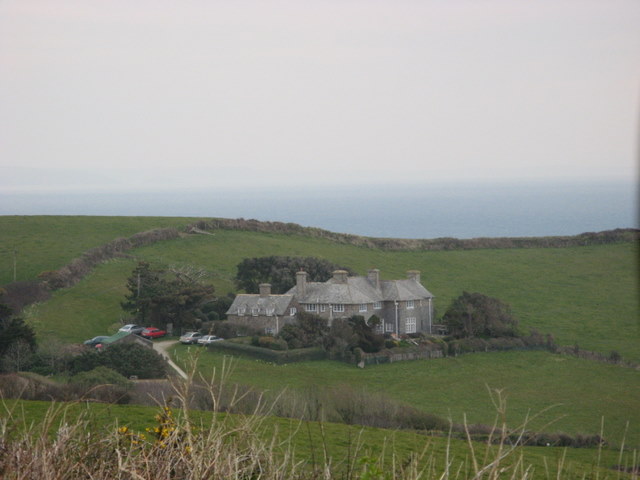
Lamledra

Lamledra is a house near Gorran Haven in Cornwall, England, UK. It is situated immediately above Vault Beach. It was built in 1911 by the barrister, John...

Nearby Amenities

Located within 500m of 50.255624,-4.7695108
Source: PGS
Lat/Long: 50.2515536/-4.7714725
Source: PGS
Lat/Long: 50.2518374/-4.771358
Source: PGS
Lat/Long: 50.2518374/-4.7705856
Source: PGS
Lat/Long: 50.2520157/-4.7699847
Source: PGS
Lat/Long: 50.2524136/-4.7706499
Source: PGS
Lat/Long: 50.2523862/-4.7692981
Source: PGS
Lat/Long: 50.252761/-4.7687581
Source: PGS
Lat/Long: 50.252756/-4.768586
Source: PGS
Lat/Long: 50.2528982/-4.7684899
Source: PGS
Lat/Long: 50.2531314/-4.7691658
Source: PGS
Lat/Long: 50.2533921/-4.7691014
Source: PGS
Lat/Long: 50.254043/-4.768234
Source: PGS
Lat/Long: 50.2543662/-4.7687045
Source: PGS
Lat/Long: 50.2547229/-4.7689727
Source: PGS
Lat/Long: 50.2546749/-4.7695413
Source: PGS
Lat/Long: 50.2549012/-4.7701421
Source: PGS
Lat/Long: 50.2549698/-4.7704103
Source: PGS
Lat/Long: 50.2559399/-4.7707637
Source: PGS
Lat/Long: 50.2559106/-4.7689832
Source: PGS
Lat/Long: 50.2559002/-4.7680846
Source: PGS
Lat/Long: 50.2560193/-4.7662191
Source: PGS
Lat/Long: 50.256129/-4.765912
Source: PGS
Lat/Long: 50.256645/-4.76573
Source: PGS
Lat/Long: 50.256761/-4.766534
Source: PGS
Lat/Long: 50.2569446/-4.7671262
Barrier: kissing_gate
Foot: yes
Lat/Long: 50.2547871/-4.7706728
Bench
Backrest: no
Lat/Long: 50.2547652/-4.769719
Bench
Backrest: no
Lat/Long: 50.2541479/-4.768646
Barrier: kissing_gate
Lat/Long: 50.2573051/-4.7723785
The data included in this document is from www.openstreetmap.org. The data is made available under ODbL.

Have you been to Colona Beach?

Leave your review of Colona Beach below (or comments, questions and feedback).