Chapel Point
Coastal Feature, Headland, Point in Cornwall
England
Chapel Point
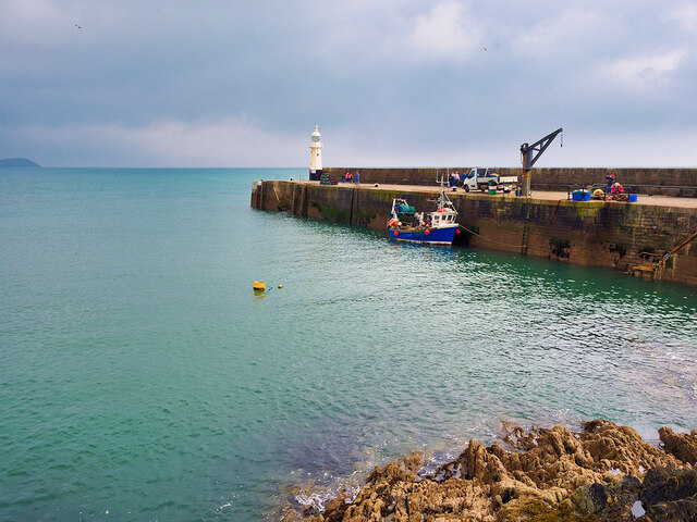
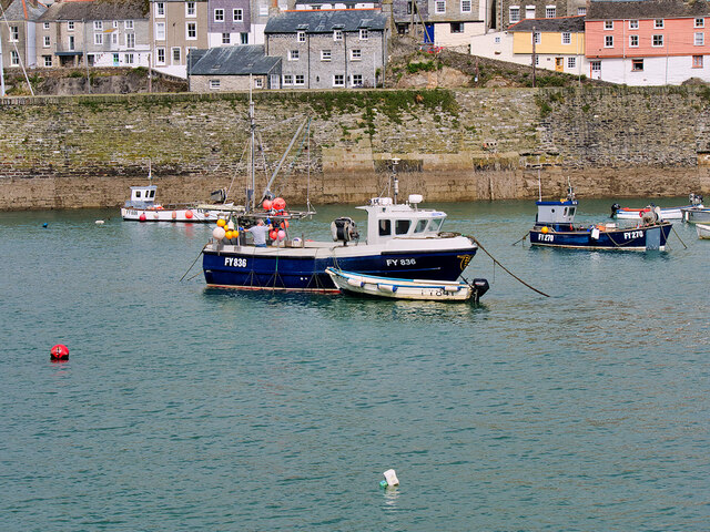
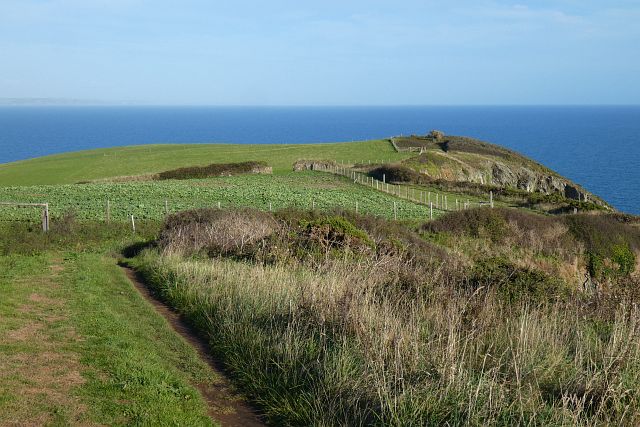
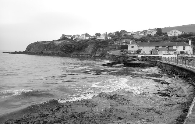
Chapel Point is a stunning headland located on the southern coast of Cornwall, England. Situated near the popular coastal village of Mevagissey, this picturesque point offers breathtaking views of the surrounding coastline and the vast open sea.
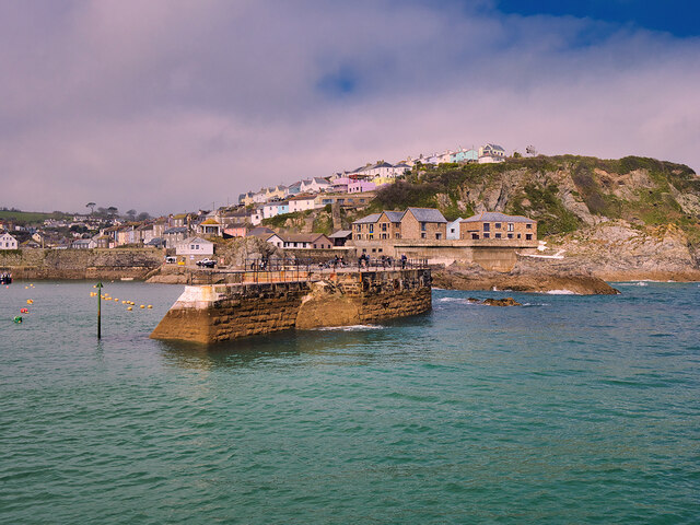
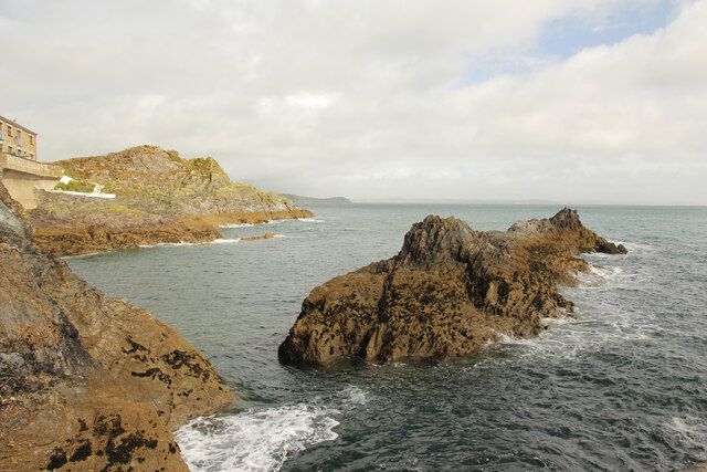
The headland is characterized by rugged cliffs and dramatic rock formations, which have been shaped by centuries of erosion by the powerful Atlantic Ocean. These cliffs provide a natural barrier against the crashing waves, creating a sense of tranquility and isolation for visitors.
Chapel Point gets its name from the small chapel that once stood on its summit. Although the chapel itself no longer exists, its historical significance is still evident in the remnants of its foundation. These ruins add an element of intrigue and enchantment to the area, attracting both history enthusiasts and casual tourists alike.
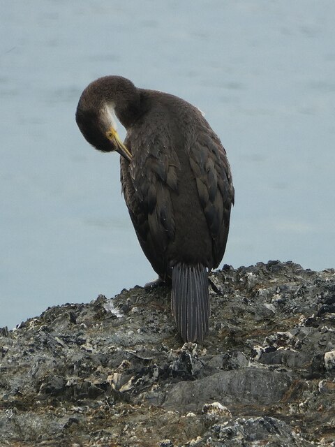
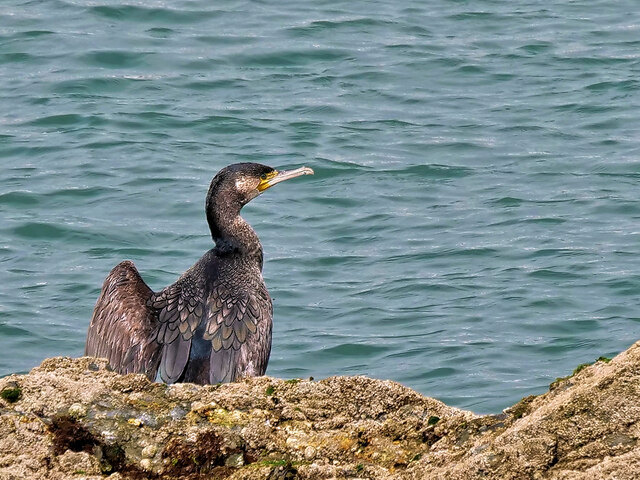
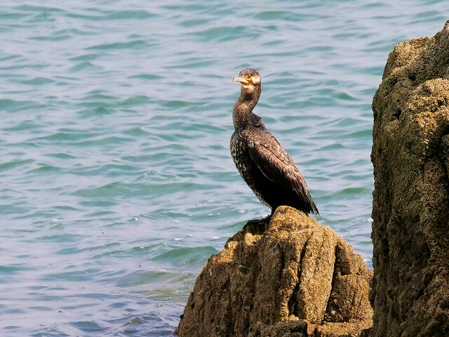
Nature lovers will be delighted by the rich biodiversity found at Chapel Point. The headland is home to a variety of seabirds, including gulls, cormorants, and puffins. Additionally, the surrounding waters are teeming with marine life, making it a popular spot for snorkeling and diving.
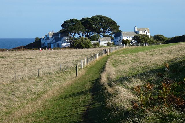
Access to Chapel Point is relatively easy, with a well-maintained footpath leading visitors to the headland. Along the way, hikers can enjoy the sight of wildflowers and native plants that dot the landscape. The path also provides several vantage points where visitors can stop and appreciate the panoramic views of the coastline and the sparkling azure waters below.
Overall, Chapel Point is a must-visit destination for anyone seeking natural beauty, tranquility, and a glimpse into Cornwall's rich history. Whether it's exploring the rugged cliffs, observing the diverse wildlife, or simply admiring the breathtaking scenery, this coastal headland offers an unforgettable experience for all who venture to its shores.
If you have any feedback on the listing, please let us know in the comments section below.
Chapel Point Images
Images are sourced within 2km of 50.2565/-4.7663346 or Grid Reference SX0243. Thanks to Geograph Open Source API. All images are credited.


Chapel Point is located at Grid Ref: SX0243 (Lat: 50.2565, Lng: -4.7663346)
Unitary Authority: Cornwall
Police Authority: Devon and Cornwall
What 3 Words
///products.elbow.contained. Near Mevagissey, Cornwall
Nearby Locations
Related Wikis

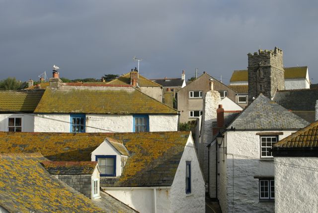
Portmellon
Portmellon (Cornish: Porthmelin) is a coastal settlement in south Cornwall, England, United Kingdom. It is one mile south of Mevagissey and six miles south...
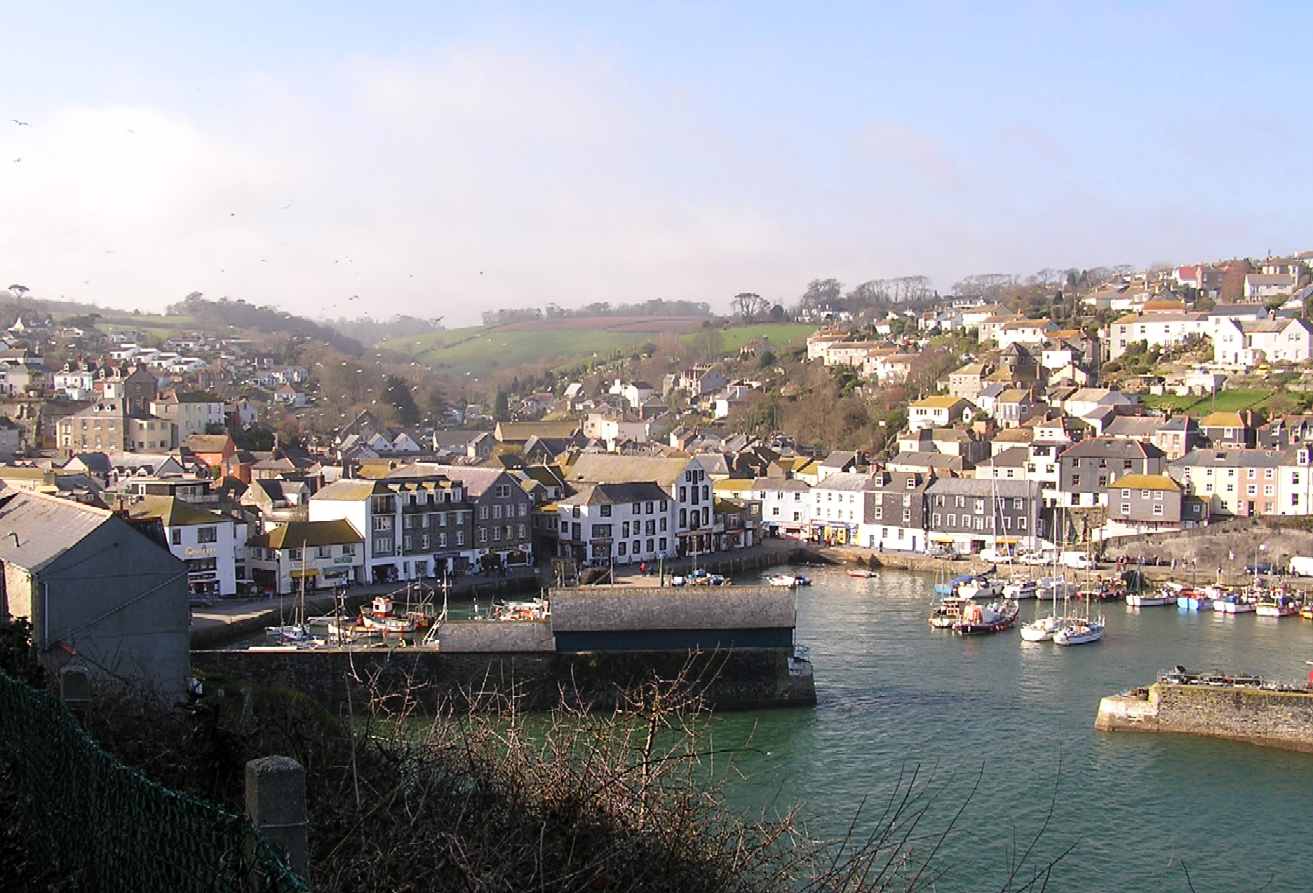
Mevagissey
Mevagissey (; Cornish: Lannvorek) is a village, fishing port and civil parish in Cornwall, England, United Kingdom. The village is situated approximately...
Gorran Haven
Gorran Haven (Cornish: Porthust) is a fishing village, in the civil parish of St Goran, on the south coast of Cornwall, England, UK. It is about 2 miles...
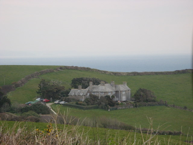
Lamledra
Lamledra is a house near Gorran Haven in Cornwall, England, UK. It is situated immediately above Vault Beach. It was built in 1911 by the barrister, John...
Nearby Amenities
Located within 500m of 50.2565,-4.7663346Have you been to Chapel Point?
Leave your review of Chapel Point below (or comments, questions and feedback).