Cockaluney Beach

Beach in Cornwall

England

Cockaluney Beach

Mevagissey - Inner Harbour The inner harbour at Mevagissey is well protected by several breakwaters. As can be seen, it is a popular place to moor boats. There are coastal trips available from this little port.
Mevagissey - Inner Harbour Credit: Rob Farrow

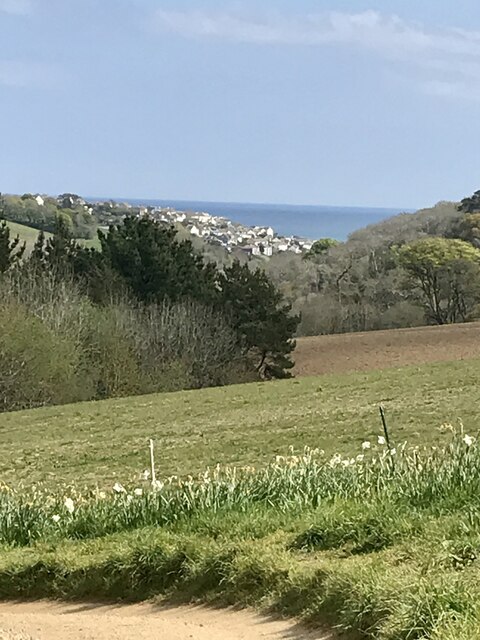
Cockaluney Beach, located in Cornwall, England, is a picturesque coastal destination that offers visitors a serene and idyllic seaside experience. Situated in close proximity to the charming village of Polperro, this beach is a hidden gem that is less crowded compared to other popular tourist spots in the region.

Nestled within a small cove, Cockaluney Beach boasts stunning natural beauty with its golden sands, crystal-clear turquoise waters, and towering cliffs that provide a dramatic backdrop. The beach is accessible via a scenic coastal path, allowing visitors to soak in the breathtaking views of the rugged coastline along the way.

The beach itself offers a peaceful and secluded atmosphere, making it an ideal spot for relaxation and tranquility. It is particularly popular among families and couples seeking a quiet retreat. During low tide, the beach reveals a plethora of rock pools, teeming with marine life, which offers an opportunity for exploration and discovery.

While there are no on-site facilities or amenities at Cockaluney Beach, visitors can find a range of shops, cafes, and restaurants in nearby Polperro, where they can enjoy a variety of local delicacies and refreshments. It is worth noting that parking can be limited, so it is advisable to arrive early or utilize public transportation.

Cockaluney Beach truly encapsulates the charm and beauty of Cornwall's coastline. With its unspoiled natural surroundings and tranquil ambiance, it provides a perfect escape for those seeking a peaceful and scenic seaside experience.

If you have any feedback on the listing, please let us know in the comments section below.

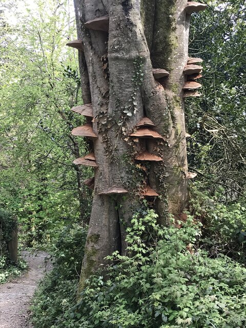
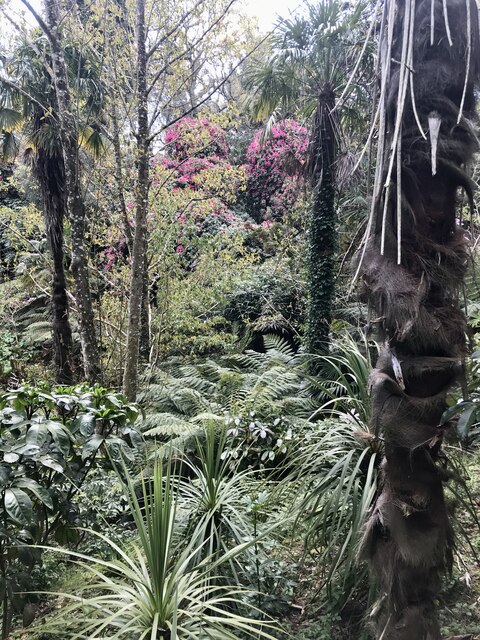
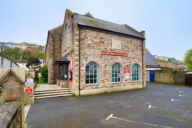
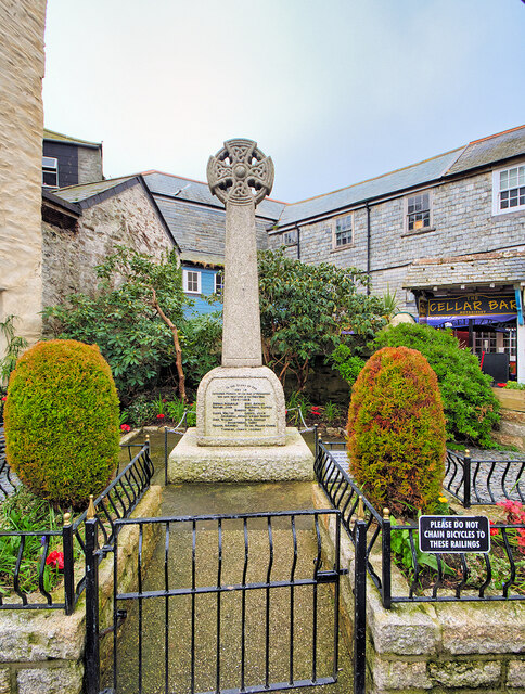
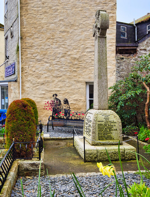
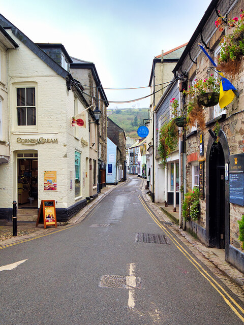
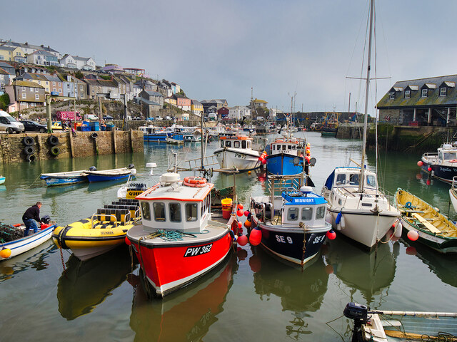
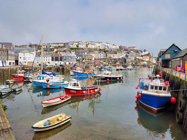
Cockaluney Beach Images

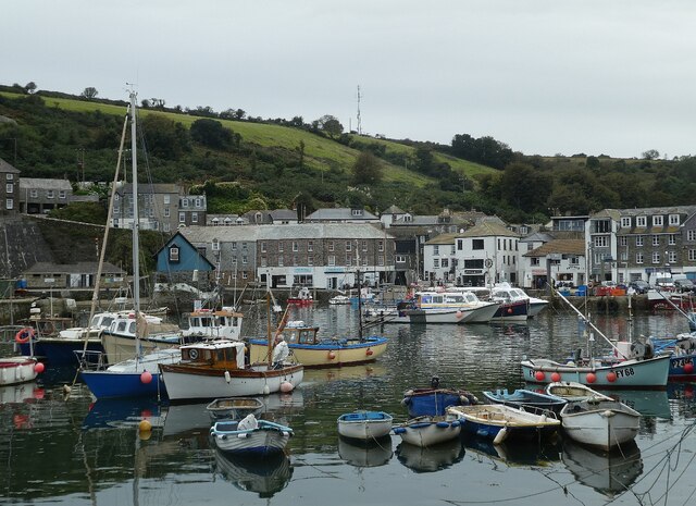
Images are sourced within 2km of 50.281898/-4.7827303 or Grid Reference SX0146. Thanks to Geograph Open Source API. All images are credited.

Mevagissey - Inner Harbour The inner harbour at Mevagissey is well protected by several breakwaters. As can be seen, it is a popular place to moor boats. There are coastal trips available from this little port.
Mevagissey - Inner Harbour
The inner harbour at Mevagissey is well protected by several breakwaters. As can be seen, it is a popular place to moor boats. There are coastal trips available from this little port.
Mevagissey - Preening shag I am reliably informed that this is a shag (Gulosus aristotelis) rather than a cormorant (Phalacrocorax carbo) as "the eye is separate from the bare skin at the base of the bill. Other useful signs for a shag are a thin bill, steep forehead, relatively longer tail and slimmer neck" (thanks to Hugh <a title="https://www.geograph.org.uk/profile/3176" href="https://www.geograph.org.uk/profile/3176">Link</a> for this information)
I think it is quite a young bird as it does not seem to have its full adult plumage, and apparently the fact that he has a white chin is indicative of this.
It was busy preening itself on rocks just outside Mevagissey harbour.
Mevagissey - Preening shag
I am reliably informed that this is a shag (Gulosus aristotelis) rather than a cormorant (Phalacrocorax carbo) as "the eye is separate from the bare skin at the base of the bill. Other useful signs for a shag are a thin bill, steep forehead, relatively longer tail and slimmer neck" (thanks to Hugh Link for this information) I think it is quite a young bird as it does not seem to have its full adult plumage, and apparently the fact that he has a white chin is indicative of this. It was busy preening itself on rocks just outside Mevagissey harbour.
Illuminated Tree One of the larger trees and lawn decorations.
Illuminated Tree
One of the larger trees and lawn decorations.
Illuminated Wall and Pond A brightly lit wall and pond.
Illuminated Wall and Pond
A brightly lit wall and pond.
Horse and Stable The prancing horse in his stable.
Horse and Stable
The prancing horse in his stable.
Tree at the Crossroads Well lit tree on the paths crossroads.
Tree at the Crossroads
Well lit tree on the paths crossroads.
Marshmallow Time Visitors toasting Marshmallows.
Marshmallow Time
Visitors toasting Marshmallows.
Field and Tree One of the more distant illuminations.
Field and Tree
One of the more distant illuminations.
Woodland Path Prolific bank of Cowslips at Heligan.
Woodland Path
Prolific bank of Cowslips at Heligan.
Beech Tree Dying Beech tree and associated fungi.
Beech Tree
Dying Beech tree and associated fungi.
Heligan Walk A view from Heligan towards Mevagissey.
Heligan Walk
A view from Heligan towards Mevagissey.
The Jungle Flowering trees and bushes in the Lower Heligan Jungle.
The Jungle
Flowering trees and bushes in the Lower Heligan Jungle.
St Andrew's Church, Mevagissey Congregational School dated 1873. Now a United Reformed/Methodist Church.
St Andrew's Church, Mevagissey
Congregational School dated 1873. Now a United Reformed/Methodist Church.
Mevagissey War Memorial The war memorial is in the form of a Celtic cross with an incised edge detail to the column. It stands on a square plinth with rounded corners, on a square base. On the southeast side of the plinth is a dressed-granite inset with an inscription in black metal lettering.

It is Grade II-listed (List Entry Number: 1420128 <span class="nowrap"><a title="https://historicengland.org.uk/listing/the-list/list-entry/1420128?section=official-list-entry" rel="nofollow ugc noopener" href="https://historicengland.org.uk/listing/the-list/list-entry/1420128?section=official-list-entry">Link</a><img style="margin-left:2px;" alt="External link" title="External link - shift click to open in new window" src="https://s1.geograph.org.uk/img/external.png" width="10" height="10"/></span> Historic England)
Mevagissey War Memorial
The war memorial is in the form of a Celtic cross with an incised edge detail to the column. It stands on a square plinth with rounded corners, on a square base. On the southeast side of the plinth is a dressed-granite inset with an inscription in black metal lettering. It is Grade II-listed (List Entry Number: 1420128 LinkExternal link Historic England)
The War Memorial, Mevagissey The Mevagissey war memorial is in the form of a Celtic cross with an incised edge detail to the column. It stands on a square plinth with rounded corners, on a square base. On the southeast side of the plinth is a dressed-granite inset with an inscription in black metal lettering.

It is Grade II-listed (List Entry Number: 1420128 <span class="nowrap"><a title="https://historicengland.org.uk/listing/the-list/list-entry/1420128?section=official-list-entry" rel="nofollow ugc noopener" href="https://historicengland.org.uk/listing/the-list/list-entry/1420128?section=official-list-entry">Link</a><img style="margin-left:2px;" alt="External link" title="External link - shift click to open in new window" src="https://s1.geograph.org.uk/img/external.png" width="10" height="10"/></span> Historic England)
The War Memorial, Mevagissey
The Mevagissey war memorial is in the form of a Celtic cross with an incised edge detail to the column. It stands on a square plinth with rounded corners, on a square base. On the southeast side of the plinth is a dressed-granite inset with an inscription in black metal lettering. It is Grade II-listed (List Entry Number: 1420128 LinkExternal link Historic England)
Fore Street, Mevagissey Mevagissey is a village and fishing port. The village is situated five miles south of St Austell. 
It nestles in a small valley and faces east to Mevagissey Bay. The inner and outer harbours have a mixture of pleasure vessels and fishing boats, the remains of a once major industry. However, tourism has supplanted fishing as the dominant industry in recent years.
Mevagissey village centre consists of narrow streets with many places to eat and shops aimed at the tourist trade. The outer areas are built on the steep slopes of the surrounding hillsides and are mostly residential.
Fore Street, Mevagissey
Mevagissey is a village and fishing port. The village is situated five miles south of St Austell. It nestles in a small valley and faces east to Mevagissey Bay. The inner and outer harbours have a mixture of pleasure vessels and fishing boats, the remains of a once major industry. However, tourism has supplanted fishing as the dominant industry in recent years. Mevagissey village centre consists of narrow streets with many places to eat and shops aimed at the tourist trade. The outer areas are built on the steep slopes of the surrounding hillsides and are mostly residential.
Mevagissey Inner Harbour Mevagissey is a village and fishing port. The village is situated five miles south of St Austell. 
It nestles in a small valley and faces east to Mevagissey Bay. The inner and outer harbours have a mixture of pleasure vessels and fishing boats, the remains of a once major industry. However, tourism has supplanted fishing as the dominant industry in recent years.
Mevagissey village centre consists of narrow streets with many places to eat and shops aimed at the tourist trade. The outer areas are built on the steep slopes of the surrounding hillsides and are mostly residential.
Mevagissey Inner Harbour
Mevagissey is a village and fishing port. The village is situated five miles south of St Austell. It nestles in a small valley and faces east to Mevagissey Bay. The inner and outer harbours have a mixture of pleasure vessels and fishing boats, the remains of a once major industry. However, tourism has supplanted fishing as the dominant industry in recent years. Mevagissey village centre consists of narrow streets with many places to eat and shops aimed at the tourist trade. The outer areas are built on the steep slopes of the surrounding hillsides and are mostly residential.
The Inner Harbour, Mevagissey Mevagissey is a village and fishing port. The village is situated five miles south of St Austell. 
It nestles in a small valley and faces east to Mevagissey Bay. The inner and outer harbours have a mixture of pleasure vessels and fishing boats, the remains of a once major industry. However, tourism has supplanted fishing as the dominant industry in recent years.
Mevagissey village centre consists of narrow streets with many places to eat and shops aimed at the tourist trade. The outer areas are built on the steep slopes of the surrounding hillsides and are mostly residential.
The Inner Harbour, Mevagissey
Mevagissey is a village and fishing port. The village is situated five miles south of St Austell. It nestles in a small valley and faces east to Mevagissey Bay. The inner and outer harbours have a mixture of pleasure vessels and fishing boats, the remains of a once major industry. However, tourism has supplanted fishing as the dominant industry in recent years. Mevagissey village centre consists of narrow streets with many places to eat and shops aimed at the tourist trade. The outer areas are built on the steep slopes of the surrounding hillsides and are mostly residential.
Show me another place!

Cockaluney Beach is located at Grid Ref: SX0146 (Lat: 50.281898, Lng: -4.7827303)

Unitary Authority: Cornwall

Police Authority: Devon and Cornwall

What 3 Words

///commented.craftsmen.chefs. Near Mevagissey, Cornwall

Related Wikis

Pentewan Valley

Pentewan Valley is one of four new civil parishes created on 1 April 2009 for the St Austell district of mid Cornwall, England, United Kingdom. The population...

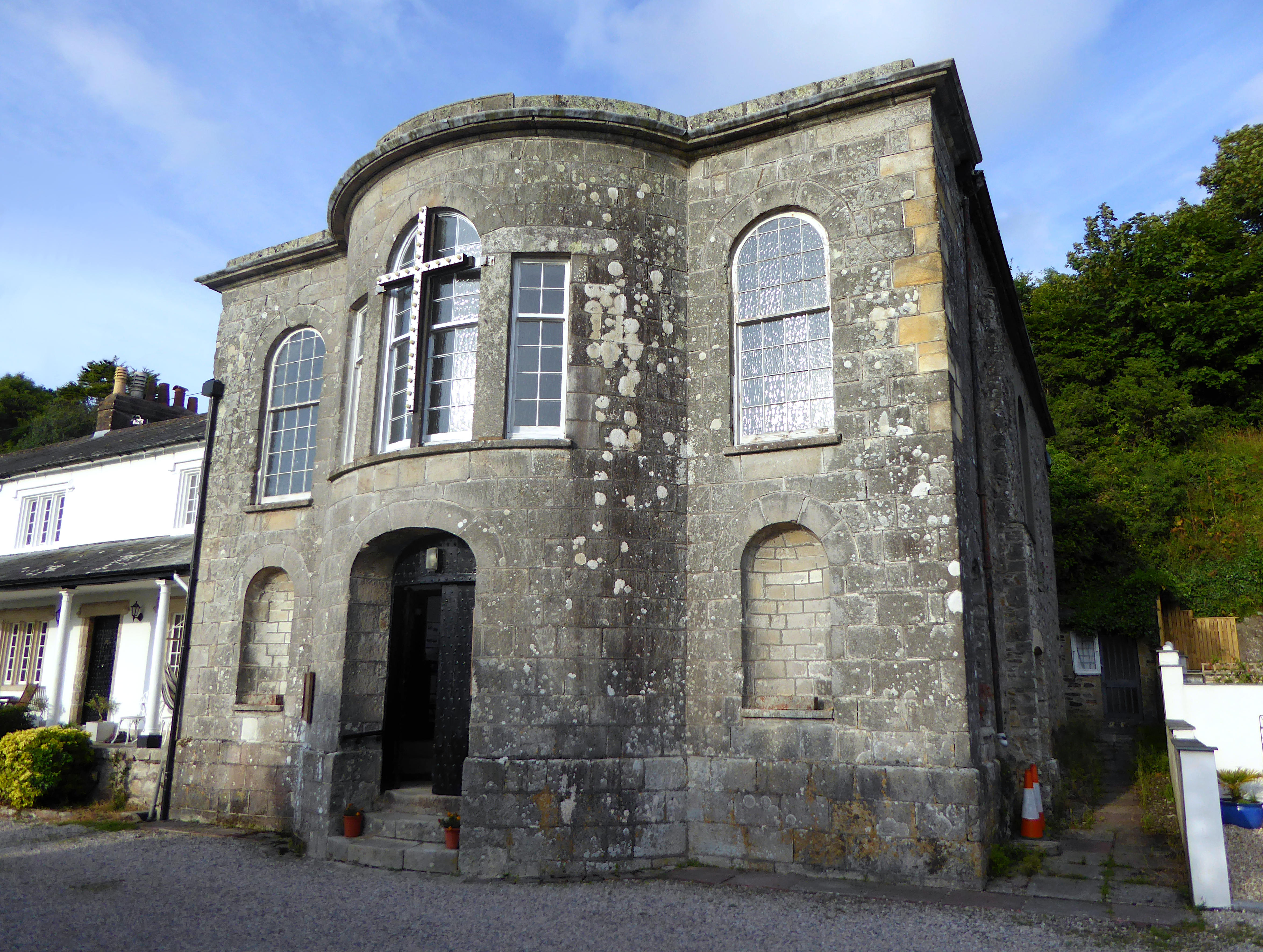
All Saints' Church, Pentewan

All Saints’ Church, Pentewan is a Grade II listed parish church in the Church of England in Pentewan, Cornwall. == History == The church was built in 1821...
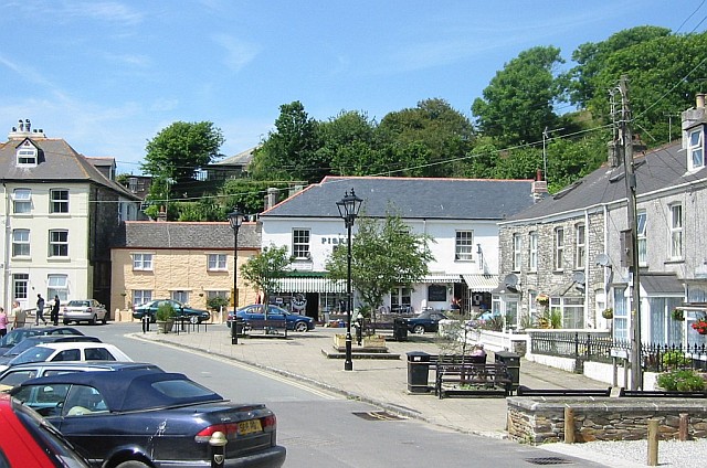
Pentewan

Pentewan (Cornish: Bentewyn, meaning foot of the radiant stream) is a coastal village and former port in south Cornwall, England, United Kingdom. It is...
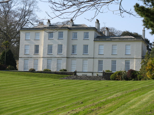
Heligan estate

The Heligan estate (; Cornish: Helygen, meaning willow tree) was the ancestral home of the Tremayne family near Mevagissey in Cornwall, England. Purchased...

Nearby Amenities

Located within 500m of 50.281898,-4.7827303
Source: PGS
Lat/Long: 50.279017/-4.77796
Created By: almien_coastlines
Source: PGS
Lat/Long: 50.27927/-4.778168
Created By: almien_coastlines
Source: PGS
Lat/Long: 50.28002/-4.779396
Created By: almien_coastlines
Source: PGS
Lat/Long: 50.280135/-4.780201
Created By: almien_coastlines
Source: PGS
Lat/Long: 50.280385/-4.78061
Source: PGS
Lat/Long: 50.2809761/-4.7810003
Source: PGS
Lat/Long: 50.2812538/-4.7816134
Source: PGS
Lat/Long: 50.2813121/-4.7821944
Source: PGS
Lat/Long: 50.2817873/-4.7827219
Source: PGS
Lat/Long: 50.282/-4.7827086
Source: PGS
Lat/Long: 50.2821655/-4.7825763
Created By: almien_coastlines
Source: PGS
Lat/Long: 50.282801/-4.781901
Created By: almien_coastlines
Source: PGS
Lat/Long: 50.282917/-4.782705
Created By: almien_coastlines
Source: PGS
Lat/Long: 50.283033/-4.783509
Source: PGS
Lat/Long: 50.2837285/-4.7832028
Source: PGS
Lat/Long: 50.2839945/-4.7831309
Source: PGS
Lat/Long: 50.2848747/-4.7825156
Source: PGS
Lat/Long: 50.2859126/-4.781675
Source: PGS
Lat/Long: 50.2783846/-4.780701
Source: PGS
Lat/Long: 50.2783571/-4.7804649
Source: PGS
Lat/Long: 50.2790908/-4.7786625
Source: PGS
Lat/Long: 50.278763/-4.77775
Barrier: kissing_gate
Lat/Long: 50.2829414/-4.7850149
Barrier: stile
Foot: yes
Material: wood
Step Count: 3
Stile: stepover
Lat/Long: 50.2785366/-4.7816259
Barrier: kissing_gate
Foot: yes
Lat/Long: 50.2800963/-4.7816138
Barrier: kissing_gate
Lat/Long: 50.2834787/-4.7848272
Barrier: kissing_gate
Lat/Long: 50.2846005/-4.7856676
Barrier: kissing_gate
Foot: yes
Lat/Long: 50.278875/-4.7815423
WW2 Pillbox
Abandoned Building: bunker
Building: bunker
Bunker Type: pillbox
Military: bunker
Lat/Long: 50.2858081/-4.784918
Parking
Access: yes
Fee: no
Parking: layby
Lat/Long: 50.2839498/-4.7875254
Parking
Access: yes
Fee: no
Parking: layby
Lat/Long: 50.2839346/-4.7883722
Barrier: stile
Lat/Long: 50.2775232/-4.7819829
The data included in this document is from www.openstreetmap.org. The data is made available under ODbL.

Have you been to Cockaluney Beach?

Leave your review of Cockaluney Beach below (or comments, questions and feedback).