Tregole
Settlement in Cornwall
England
Tregole
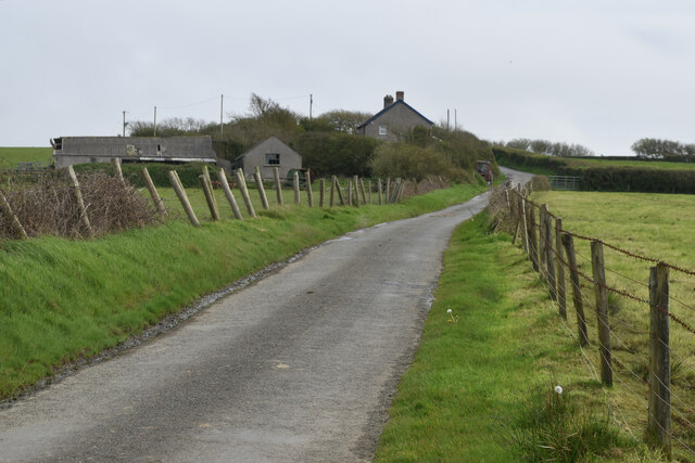
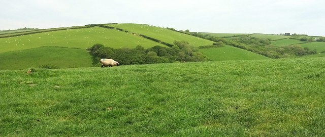
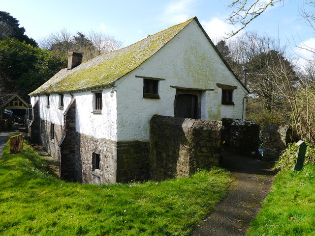
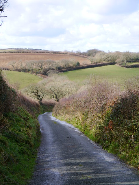
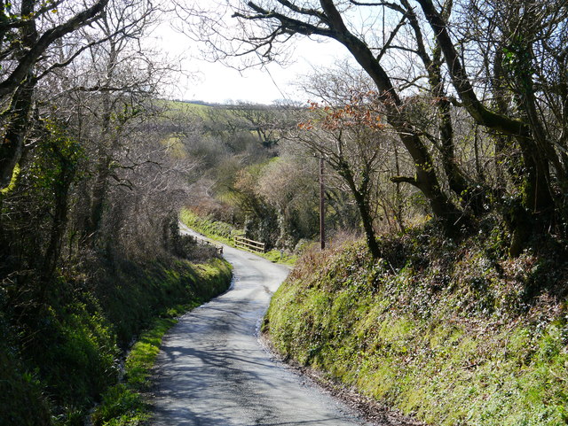
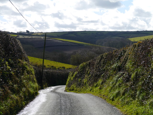
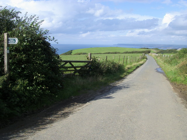
Tregole is a small village located in Cornwall, England. Situated near the coast, Tregole offers stunning views of the surrounding countryside and the nearby ocean. The village is known for its quaint and charming atmosphere, with traditional stone cottages and narrow winding streets.
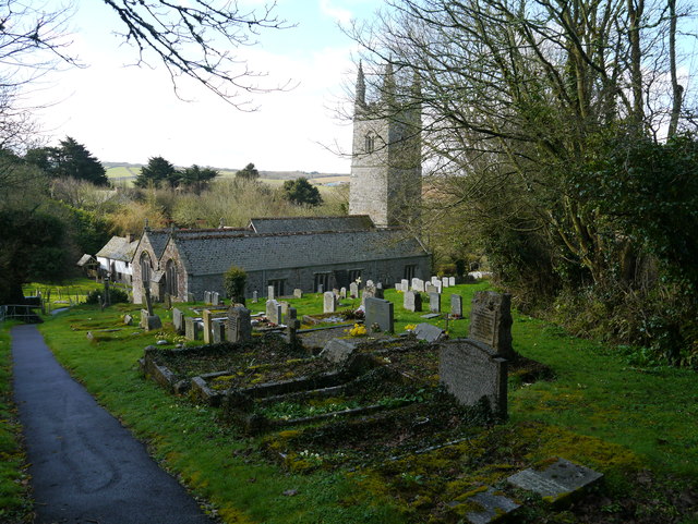
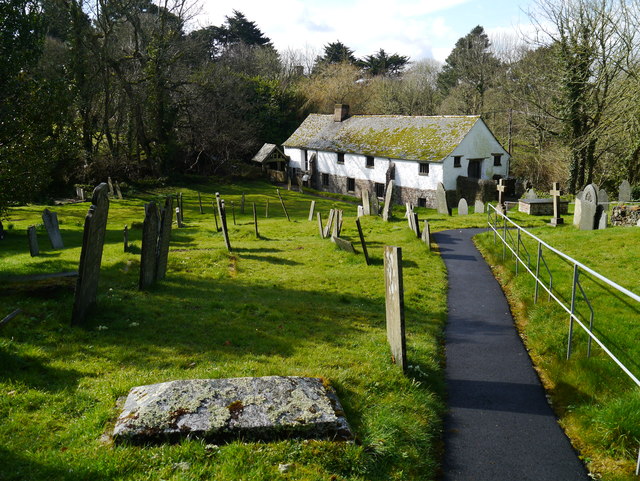
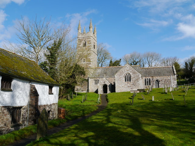
Tregole is a popular destination for tourists seeking a peaceful and relaxing getaway. Visitors can explore the local shops and cafes, or take a leisurely stroll through the picturesque countryside. The village is also home to a number of historic landmarks, including a medieval church and a restored watermill.
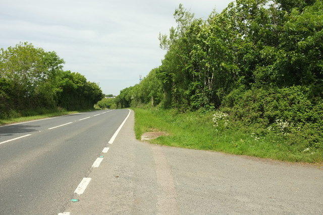
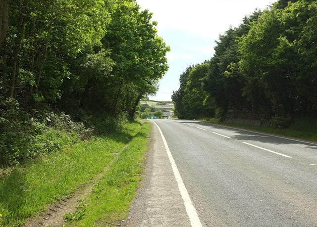
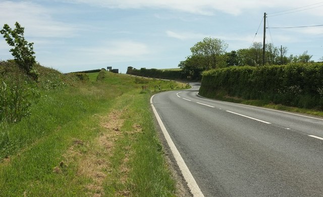
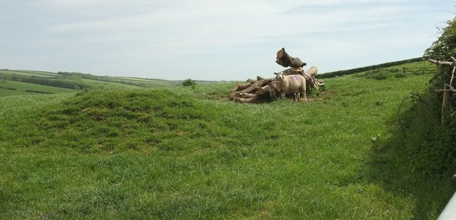
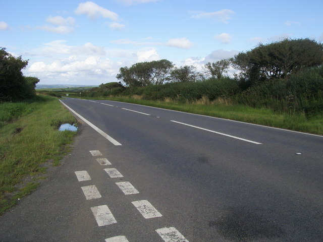
In addition to its natural beauty, Tregole offers a range of outdoor activities for visitors to enjoy. The surrounding area is perfect for hiking, cycling, and horseback riding, with numerous trails and paths to explore. The nearby beaches provide opportunities for swimming, sunbathing, and water sports.
Overall, Tregole is a charming and tranquil village that offers a perfect escape from the hustle and bustle of everyday life. Its stunning scenery, historic charm, and range of outdoor activities make it a must-visit destination in Cornwall.
If you have any feedback on the listing, please let us know in the comments section below.
Tregole Images
Images are sourced within 2km of 50.753769/-4.5634414 or Grid Reference SX1998. Thanks to Geograph Open Source API. All images are credited.
Tregole is located at Grid Ref: SX1998 (Lat: 50.753769, Lng: -4.5634414)
Unitary Authority: Cornwall
Police Authority: Devon and Cornwall
What 3 Words
///applauded.shelf.siesta. Near Poundstock, Cornwall
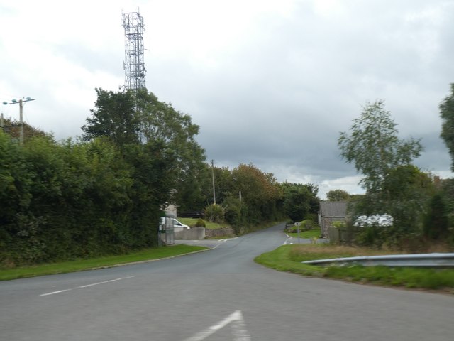
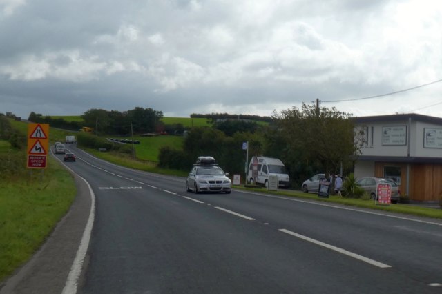
Nearby Locations
Related Wikis

Bangors
Bangors is a village in northeast Cornwall, England, United Kingdom. It is approximately four miles (6 km) south of Bude on the A39 trunk road, within...
Treskinnick Cross
Treskinnick Cross is a hamlet at Grid ref. SX2098 on the A39 main road near Poundstock in northeast Cornwall, England, United Kingdom. == References ==
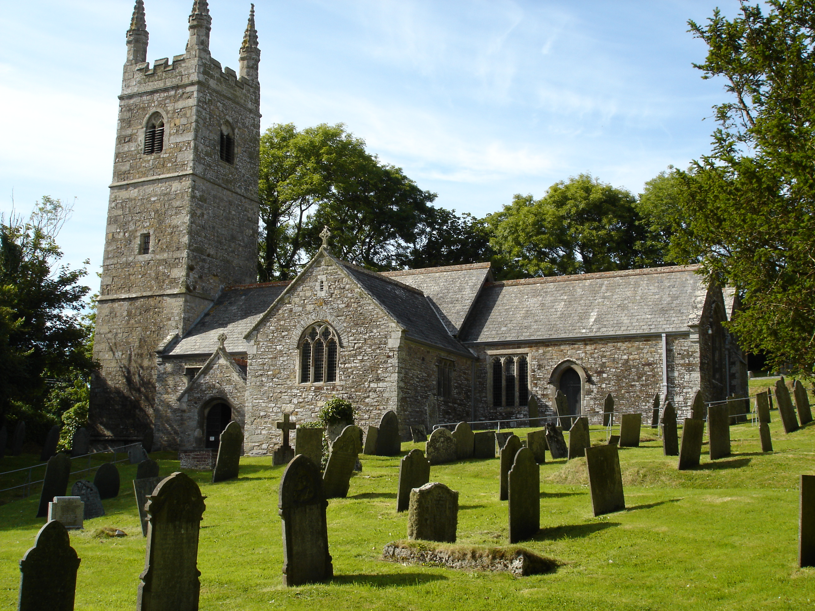
St Winwaloe's Church, Poundstock
St Winwaloe's Church, Poundstock is a Grade I listed parish church in the Church of England in Poundstock, Cornwall. == History == The church was originally...
Poundstock
Poundstock (Cornish: Tregorlann) is a civil parish and a hamlet on the north coast of Cornwall, England, United Kingdom. The hamlet is situated four miles...
Nearby Amenities
Located within 500m of 50.753769,-4.5634414Have you been to Tregole?
Leave your review of Tregole below (or comments, questions and feedback).