Heol Las
Settlement in Glamorgan
Wales
Heol Las

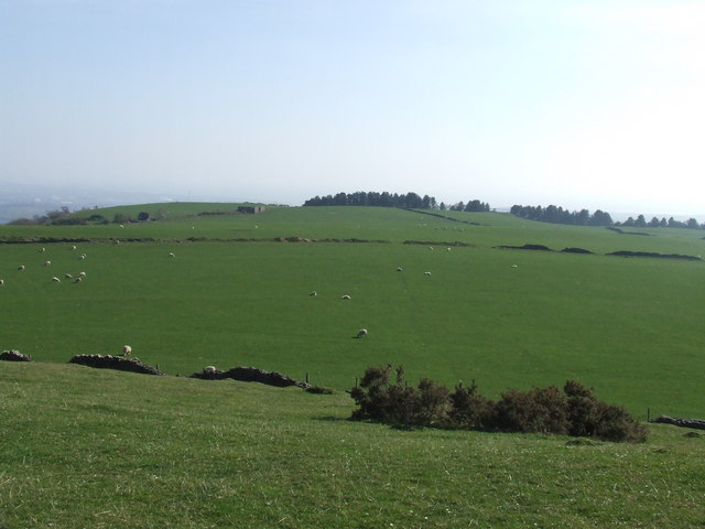
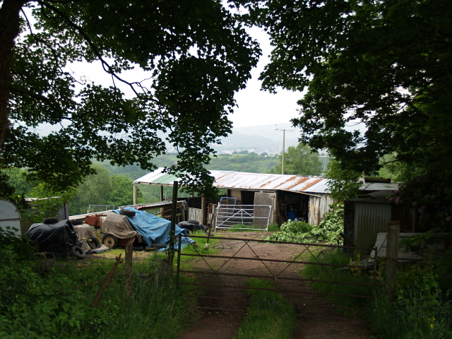
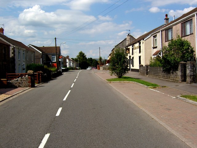
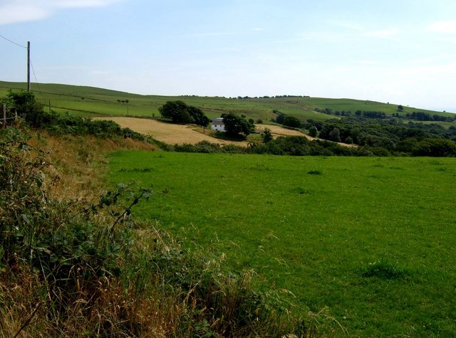
Heol Las is a small village located in the historic county of Glamorgan, in South Wales. Situated in the picturesque countryside, it is surrounded by rolling hills and lush green fields. The village is known for its peaceful and idyllic setting, making it a popular destination for nature enthusiasts and those seeking a tranquil getaway.
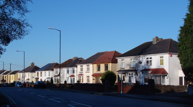
The name Heol Las translates to "green road" in Welsh, which aptly describes the beautiful scenery that can be found in the area. The village is characterized by its charming stone cottages and traditional architecture, giving it a quaint and timeless feel.
Despite its small size, Heol Las offers a range of amenities and services to its residents and visitors. There is a local pub, where locals gather to socialize and enjoy a drink or two. Additionally, there is a primary school, providing education for the village's younger population.
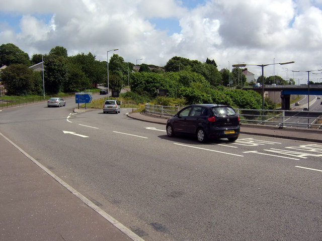
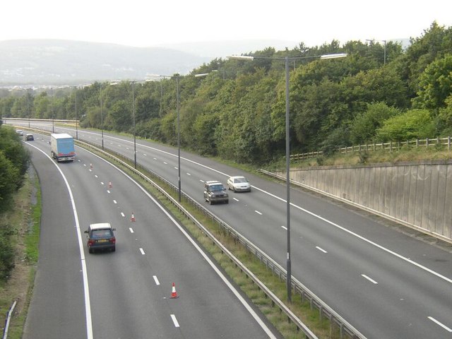
The village is also well-connected to surrounding areas, with good transport links to nearby towns and cities. This allows residents to easily access larger amenities and services that may not be available in Heol Las itself.
Heol Las is also fortunate to be surrounded by several nature reserves and parks, making it an ideal location for outdoor activities such as hiking, cycling, and birdwatching. The breathtaking landscapes and abundant wildlife further add to the village's charm and appeal.
Overall, Heol Las is a picturesque and peaceful village that offers a close-knit community and beautiful natural surroundings.
If you have any feedback on the listing, please let us know in the comments section below.
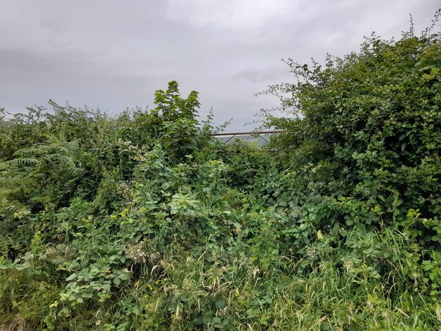
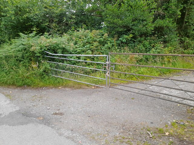
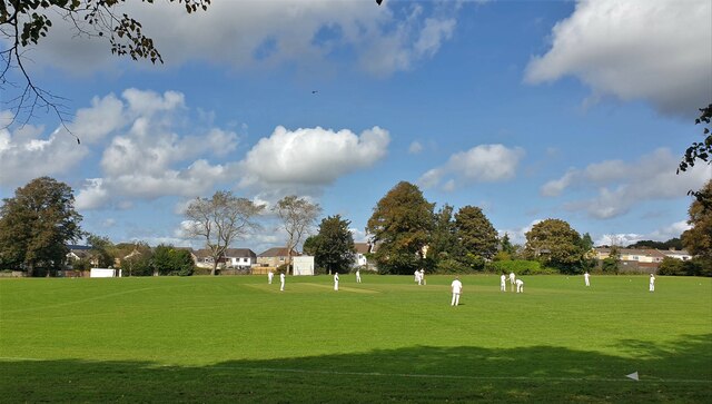
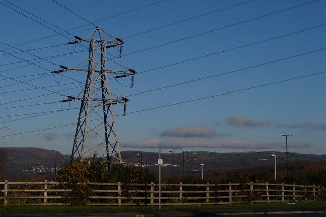
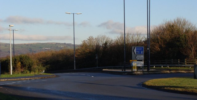
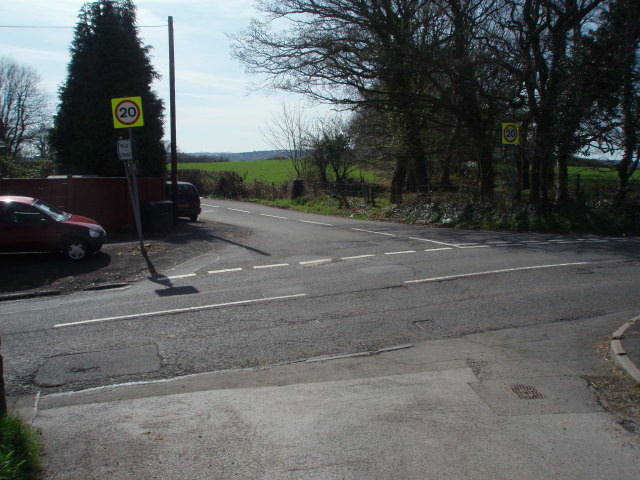
Heol Las Images
Images are sourced within 2km of 51.670221/-3.8859438 or Grid Reference SS6998. Thanks to Geograph Open Source API. All images are credited.


Heol Las is located at Grid Ref: SS6998 (Lat: 51.670221, Lng: -3.8859438)
Unitary Authority: Swansea
Police Authority: South Wales
Also known as: Heol-las
What 3 Words
///protest.compacts.hang. Near Clydach, Swansea
Nearby Locations
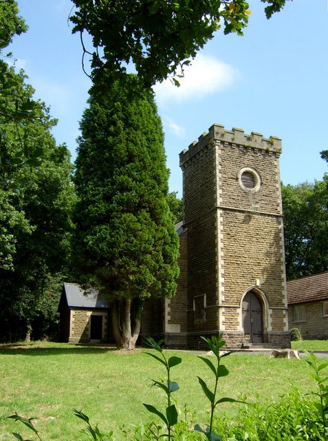
Related Wikis

Felin Fran Halt railway station
Felin Fran Halt railway station co-served the area of Llansamlet, in the historical county of Glamorganshire, Wales, from 1922 to 1956 on the Swansea District...

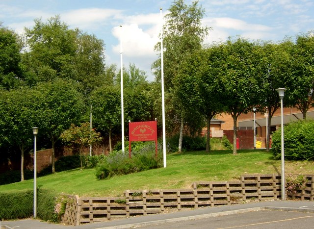
Birchgrove, Swansea
Birchgrove (Welsh: Y Gellifedw) is a suburb and community in Swansea, Wales, United Kingdom. It is situated about 4.5 miles (7 km) north-east of Swansea...

Llansamlet (electoral ward)
Llansamlet is the name of an electoral ward (coterminous with the Llansamlet community) in the City and County of Swansea, Wales, UK. The electoral ward...

Llansamlet railway station
Llansamlet railway station is a minor station in Llansamlet, Swansea, south Wales. The station is located below street level at Frederick Place in Peniel...
Nearby Amenities
Located within 500m of 51.670221,-3.8859438Have you been to Heol Las?
Leave your review of Heol Las below (or comments, questions and feedback).