The Leys

Settlement in Staffordshire

England

The Leys

OS benchmark - Wednesbury, St Batholemew's Church An OS cutmark on the wall of the porch at the main entrance to the church; last levelled in 1956 at 163.699m above Ordnance Datum Newlyn.
OS benchmark - Wednesbury, St Batholemew's Church Credit: Richard Law

The Leys is a small village located in the county of Staffordshire, England. Situated approximately 8 miles northeast of the county town of Stafford, The Leys is nestled amidst the picturesque countryside, offering a serene and tranquil environment for its residents.

The village is characterized by its charming rural setting, with rolling green hills, meandering streams, and lush meadows that surround the area. The Leys is predominantly residential, with a close-knit community that takes pride in its friendly and welcoming atmosphere.

Despite its small size, The Leys boasts a range of amenities to cater to its residents' needs. The village has a local primary school, providing education for the younger population, and a village hall that serves as a hub for various community activities and events. Additionally, there are a few small shops and local businesses that cater to the everyday needs of the villagers.

For those seeking outdoor activities and recreation, The Leys offers ample opportunities. The surrounding countryside provides stunning walking and cycling routes, allowing residents to explore the natural beauty of the area. The village is also conveniently located near several nature reserves and parks, providing a variety of wildlife habitats and peaceful spots for relaxation.

Overall, The Leys in Staffordshire offers a peaceful and idyllic village lifestyle, with a strong sense of community and access to the beauty of the surrounding countryside.

If you have any feedback on the listing, please let us know in the comments section below.
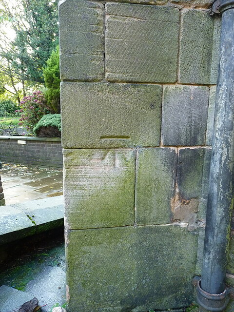
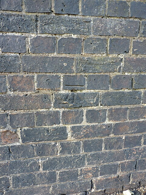
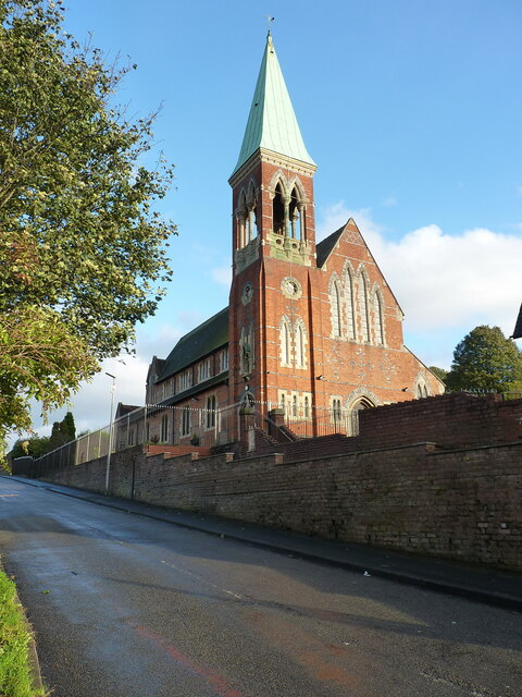
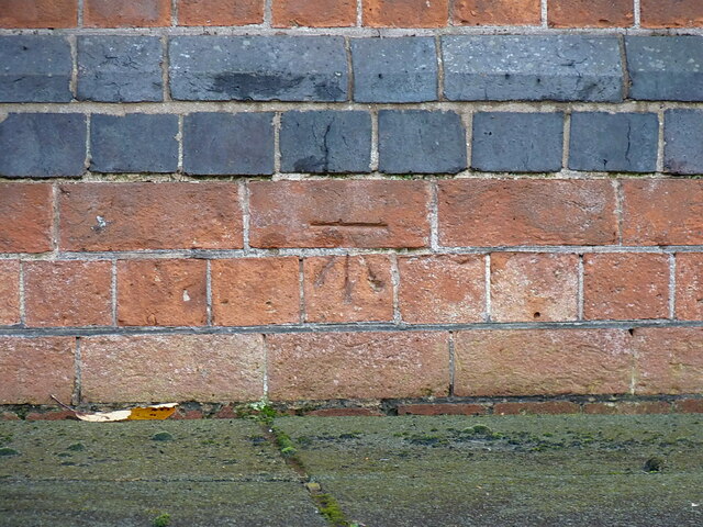
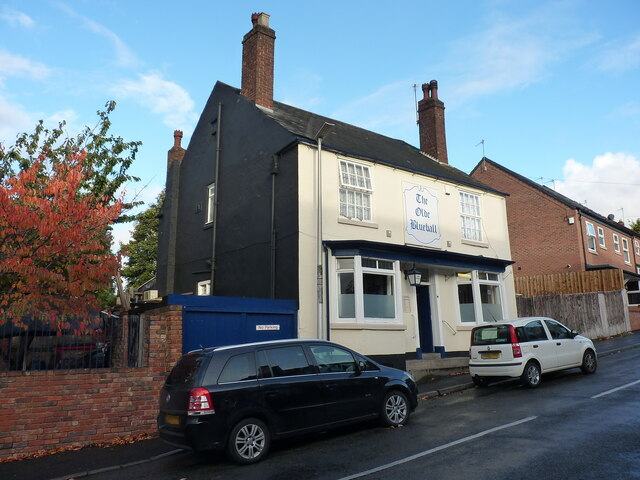
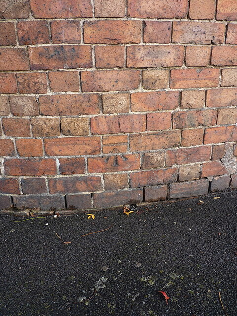
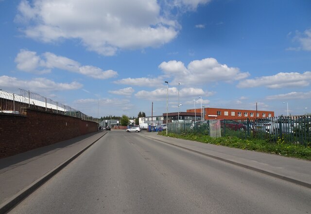
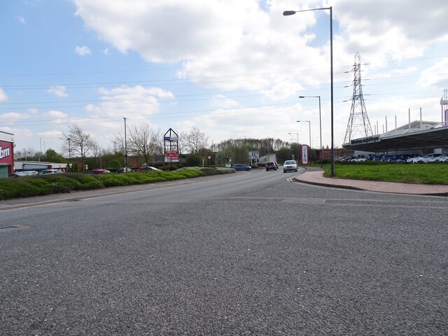
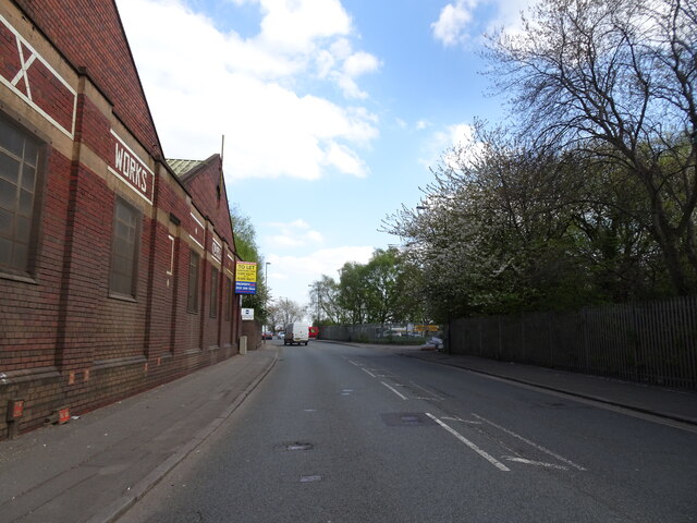
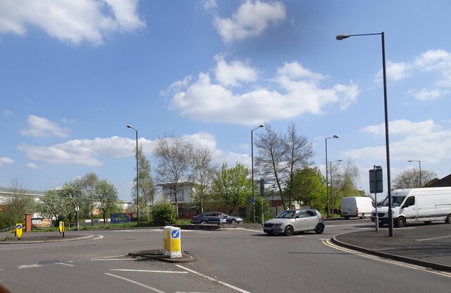
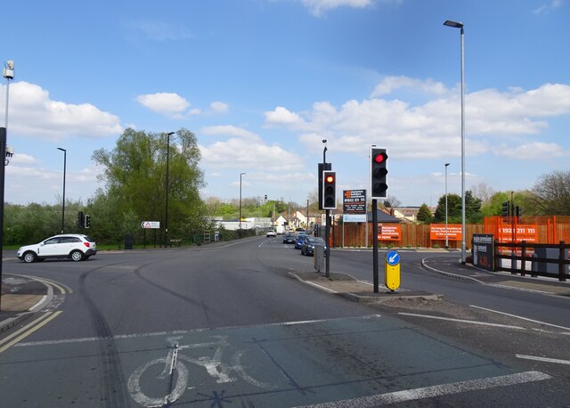
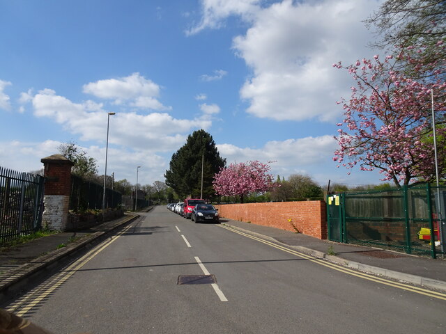
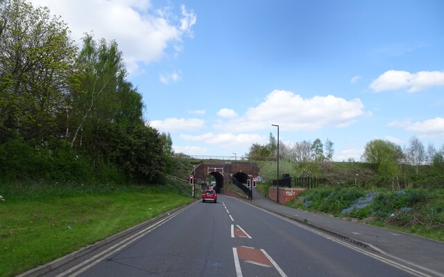
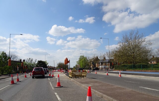
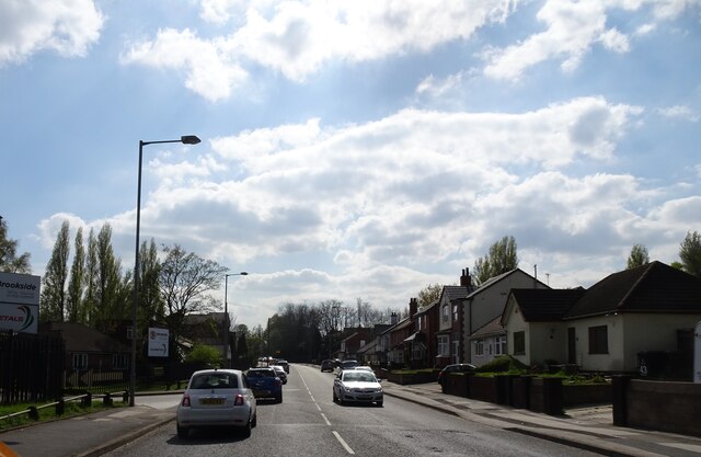
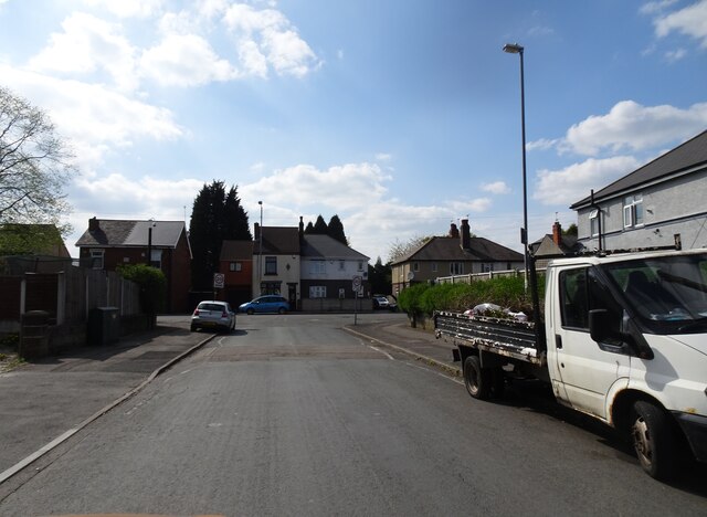
The Leys Images

Images are sourced within 2km of 52.570026/-2.0374472 or Grid Reference SO9796. Thanks to Geograph Open Source API. All images are credited.

OS benchmark - Wednesbury, St Batholemew's Church An OS cutmark on the wall of the porch at the main entrance to the church; last levelled in 1956 at 163.699m above Ordnance Datum Newlyn.
OS benchmark - Wednesbury, St Batholemew's Church
An OS cutmark on the wall of the porch at the main entrance to the church; last levelled in 1956 at 163.699m above Ordnance Datum Newlyn.
St Bartholomew's Church in Wednesbury The church was built around 1827, but contains remnants of a much older (14th century) arch as part of the tower structure; the pulpit is early 17th century, and a table tomb in the nave is of similar date.  It attracted a Grade II listing <span class="nowrap"><a title="https://britishlistedbuildings.co.uk/101342678-church-of-st-bartholomew-wednesbury-north-ward#.YXLQmRrMLIU" rel="nofollow ugc noopener" href="https://britishlistedbuildings.co.uk/101342678-church-of-st-bartholomew-wednesbury-north-ward#.YXLQmRrMLIU">Link</a><img style="margin-left:2px;" alt="External link" title="External link - shift click to open in new window" src="https://s1.geograph.org.uk/img/external.png" width="10" height="10"/></span> & <span class="nowrap"><a title="https://historicengland.org.uk/listing/the-list/list-entry/1342678" rel="nofollow ugc noopener" href="https://historicengland.org.uk/listing/the-list/list-entry/1342678">Link</a><img style="margin-left:2px;" alt="External link" title="External link - shift click to open in new window" src="https://s1.geograph.org.uk/img/external.png" width="10" height="10"/></span> in 1950.
St Bartholomew's Church in Wednesbury
The church was built around 1827, but contains remnants of a much older (14th century) arch as part of the tower structure; the pulpit is early 17th century, and a table tomb in the nave is of similar date. It attracted a Grade II listing LinkExternal link & LinkExternal link in 1950.
OS benchmark - Wednesbury, Church Hill (wall) An OS cut benchmark in the churchyard wall; last levelled by the OS in 1956 at 162.193m above Ordnance Datum Newlyn. It is probably a fair bit older than that, as it appears on the 1941 map at 532.15 feet above Newlyn.
OS benchmark - Wednesbury, Church Hill (wall)
An OS cut benchmark in the churchyard wall; last levelled by the OS in 1956 at 162.193m above Ordnance Datum Newlyn. It is probably a fair bit older than that, as it appears on the 1941 map at 532.15 feet above Newlyn.
St Mary's Catholic church in Wednesbury Built in the mid 1870s by Gilbert Blount, and Grade II listed <span class="nowrap"><a title="https://britishlistedbuildings.co.uk/101077090-church-of-st-mary-wednesbury-north-ward#.YXLUVRrMLIU" rel="nofollow ugc noopener" href="https://britishlistedbuildings.co.uk/101077090-church-of-st-mary-wednesbury-north-ward#.YXLUVRrMLIU">Link</a><img style="margin-left:2px;" alt="External link" title="External link - shift click to open in new window" src="https://s1.geograph.org.uk/img/external.png" width="10" height="10"/></span> & <span class="nowrap"><a title="https://historicengland.org.uk/listing/the-list/list-entry/1077090" rel="nofollow ugc noopener" href="https://historicengland.org.uk/listing/the-list/list-entry/1077090">Link</a><img style="margin-left:2px;" alt="External link" title="External link - shift click to open in new window" src="https://s1.geograph.org.uk/img/external.png" width="10" height="10"/></span> in 1987.
St Mary's Catholic church in Wednesbury
Built in the mid 1870s by Gilbert Blount, and Grade II listed LinkExternal link & LinkExternal link in 1987.
OS benchmark - Wednesbury, St Mary's Catholic Church An OS cutmark on the north wall of the church, photographed with a bit of zoom through the fence that surrounds the church. It was last levelled by the OS in 1956 at 155.866m above Ordnance Datum Newlyn, but is shown on the 1941 map at 511.37ft above Newlyn.
OS benchmark - Wednesbury, St Mary's Catholic Church
An OS cutmark on the north wall of the church, photographed with a bit of zoom through the fence that surrounds the church. It was last levelled by the OS in 1956 at 155.866m above Ordnance Datum Newlyn, but is shown on the 1941 map at 511.37ft above Newlyn.
The Old Blue Ball public house A 19th century public house, with a history of cockfighting when it was landlorded by a publican named Jonah Spittle. It attracted a Grade II listing <span class="nowrap"><a title="https://britishlistedbuildings.co.uk/101077110-old-blue-ball-public-house-wednesbury-north-ward#.YXLnzhrMLIU" rel="nofollow ugc noopener" href="https://britishlistedbuildings.co.uk/101077110-old-blue-ball-public-house-wednesbury-north-ward#.YXLnzhrMLIU">Link</a><img style="margin-left:2px;" alt="External link" title="External link - shift click to open in new window" src="https://s1.geograph.org.uk/img/external.png" width="10" height="10"/></span> & <span class="nowrap"><a title="https://historicengland.org.uk/listing/the-list/list-entry/1077110" rel="nofollow ugc noopener" href="https://historicengland.org.uk/listing/the-list/list-entry/1077110">Link</a><img style="margin-left:2px;" alt="External link" title="External link - shift click to open in new window" src="https://s1.geograph.org.uk/img/external.png" width="10" height="10"/></span> in 1979.
The Old Blue Ball public house
A 19th century public house, with a history of cockfighting when it was landlorded by a publican named Jonah Spittle. It attracted a Grade II listing LinkExternal link & LinkExternal link in 1979.
OS benchmark - Wednesbury, 13 Hall End An OS cutmark on the boundary wall just around the corner from the front face of no 13 Hall End; last levelled by the OS in 1956 at 145.798m above Ordnance Datum Newlyn. It makes an appearance on the 1941 map at 478.35ft above Newlyn.
OS benchmark - Wednesbury, 13 Hall End
An OS cutmark on the boundary wall just around the corner from the front face of no 13 Hall End; last levelled by the OS in 1956 at 145.798m above Ordnance Datum Newlyn. It makes an appearance on the 1941 map at 478.35ft above Newlyn.
Vulcan Road View The road is a short cut from the Black Country Route to the A41 round Bilston Town.
Vulcan Road View
The road is a short cut from the Black Country Route to the A41 round Bilston Town.
A463 View The view on the Black Country Route near the Lunt Junction in Bilston.
A463 View
The view on the Black Country Route near the Lunt Junction in Bilston.
Keyway Junction View The view along Armstrong Way in Willenhall.
Keyway Junction View
The view along Armstrong Way in Willenhall.
Darlaston Green The view in Heath Road, Willenhall.
Darlaston Green
The view in Heath Road, Willenhall.
Island View The view from Heath Road in Darlaston.
Island View
The view from Heath Road in Darlaston.
Junction View The view from Walsall Road (A4038) of the junction with Bentley Mill Way in Darlaston.
Junction View
The view from Walsall Road (A4038) of the junction with Bentley Mill Way in Darlaston.
Cemetery Road The road to James Bridge Cemetery in Darlaston.
Cemetery Road
The road to James Bridge Cemetery in Darlaston.
Aqueduct View The view along Bentley Mill Way in Walsall of the Walsall Canal Aqueduct.
Aqueduct View
The view along Bentley Mill Way in Walsall of the Walsall Canal Aqueduct.
Wolverhampton Road West The view on the B4464 at the junction with Queen Elizabeth Avenue in Walsall.
Wolverhampton Road West
The view on the B4464 at the junction with Queen Elizabeth Avenue in Walsall.
A462 View The view on Bilston Lane in Willenhall.
A462 View
The view on Bilston Lane in Willenhall.
Rose Hill Junction The view from Tyler Road in Willenhall.
Rose Hill Junction
The view from Tyler Road in Willenhall.
Show me another place!

The Leys is located at Grid Ref: SO9796 (Lat: 52.570026, Lng: -2.0374472)

Unitary Authority: Walsall

Police Authority: West Midlands

What 3 Words

///press.packet.mice. Near Darlaston, West Midlands

Related Wikis

Darlaston Urban District

Darlaston Urban District was a local authority which existed within the West Midlands conurbation, England from 1894 until 1966. It was centred on the...

Darlaston railway station (1863–1887)

Darlaston railway station was a station built on the South Staffordshire Line in 1863. It served the town of Darlaston, and was located to the east of...

Darlaston Loop

The Darlaston Loop was a railway which connected the towns of Walsall, Darlaston and Wednesbury in the West Midlands of England. It was so named because...

Darlaston

Darlaston is an industrial town in the Metropolitan Borough of Walsall in the West Midlands of England. It is located near Wednesbury and Willenhall....

Darlaston Community Science College

Darlaston Community Science College was a secondary school located in Darlaston, West Midlands, England. The school had Specialist Science College status...

Grace Academy, Darlaston

Grace Academy is an Academy in Darlaston, Walsall, England. It is a non-selective co-educational secondary school. It was formerly Darlaston Community...

All Saints' Church, Darlaston

All Saints’ Church, Darlaston is a parish church in the Church of England in Darlaston, West Midlands County, England. == History == The first church by...

St Thomas More Catholic School, Willenhall

St Thomas More Catholic School, Willenhall is a voluntary aided comprehensive Catholic secondary school educating children aged 11–18 in the town of Willenhall...

Nearby Amenities

Located within 500m of 52.570026,-2.0374472
Darlaston
Is In County: West Midlands
Is In District: Walsall
Place: town
Wikidata: Q2571235
Lat/Long: 52.5733189/-2.0355619
Traffic Signals
Lat/Long: 52.5669322/-2.034619
Bus Stop
Darlaston Interchange / Asda
NaPTANAreaCode: 43000681501
Bus: yes
Local Ref: DA
Naptan AtcoCode: 43000681501
Naptan Bearing: NW
Naptan BusStopType: MKD
Naptan CommonName: Darlaston Interchange
Naptan Indicator: Stand DA
Naptan NaptanCode: nwmjdmjt
Naptan PlusbusZoneRef: BHAMNWS
Naptan Status: ACT
Naptan StopType: BCT
Naptan Street: DARLASTON INTERCHANG
Naptan Towards: Bilston, Willenhall
Naptan Verified: no
Public Transport: platform
Route Ref: 30;34;37;39;79;310;334
Shelter: yes
Shelter Ref: 203256
Source: WMCA
Lat/Long: 52.5671102/-2.0365155
Bus Stop
Darlaston Interchange / Asda
NaPTANAreaCode: 43000681502
Bus: yes
Local Ref: DB
Naptan AtcoCode: 43000681502
Naptan Bearing: SE
Naptan BusStopType: MKD
Naptan CommonName: Darlaston Interchange
Naptan Indicator: Stand DB
Naptan NaptanCode: nwmjdmjw
Naptan PlusbusZoneRef: BHAMNWS
Naptan Status: ACT
Naptan StopType: BCT
Naptan Street: DARLASTON INTERCHANG
Naptan Towards: Walsall
Naptan Verified: no
Public Transport: platform
Route Ref: 34;37;39;334
Shelter: yes
Shelter Ref: 203245
Source: WMCA
Lat/Long: 52.5672618/-2.0364686
Bus Stop
Darlaston Interchange / Asda
NaPTANAreaCode: 43000681503
Bus: yes
Local Ref: DC
Naptan AtcoCode: 43000681503
Naptan Bearing: SE
Naptan BusStopType: MKD
Naptan CommonName: Darlaston Interchange
Naptan Indicator: Stand DC
Naptan NaptanCode: nwmdptdm
Naptan PlusbusZoneRef: BHAMNWS
Naptan Status: ACT
Naptan StopType: BCT
Naptan Street: DARLASTON INTERCHANG
Naptan Towards: Wednesbury
Naptan Verified: no
Public Transport: platform
Route Ref: 65;79;310
Shelter: yes
Shelter Ref: 203227
Source: WMCA
Lat/Long: 52.5673221/-2.0363519
Bus Stop
Darlaston Interchange / Asda
NaPTANAreaCode: 43000681504
Bus: yes
Local Ref: DD
Naptan AtcoCode: 43000681504
Naptan Bearing: SE
Naptan BusStopType: MKD
Naptan CommonName: Darlaston Interchange
Naptan Indicator: Stand DD
Naptan NaptanCode: nwmdptdg
Naptan PlusbusZoneRef: BHAMNWS
Naptan Status: ACT
Naptan StopType: BCT
Naptan Street: DARLASTON INTERCHANG
Naptan Towards: Wednesbury
Naptan Verified: no
Public Transport: platform
Route Ref: 79
Shelter: yes
Shelter Ref: 203228
Source: WMCA
Lat/Long: 52.5672423/-2.036207
Bus Stop
St Lawrence Way / New St
NaPTANAreaCode: 43000681601
Bus: yes
Naptan AtcoCode: 43000681601
Naptan Bearing: N
Naptan BusStopType: MKD
Naptan CommonName: New St
Naptan Indicator: after
Naptan NaptanCode: nwmjdmpa
Naptan PlusbusZoneRef: BHAMNWS
Naptan Status: ACT
Naptan StopType: BCT
Naptan Street: ST LAWRENCE WAY
Naptan Towards: Bilston
Naptan Verified: no
Public Transport: platform
Route Ref: 34;37;310;334
Shelter: yes
Shelter Ref: 203244
Source: WMCA
Lat/Long: 52.5694549/-2.0375206
Bus Stop
Darlaston Rd / Walsall Rd
NaPTANAreaCode: 43000682101
Bus: yes
Naptan AtcoCode: 43000682101
Naptan Bearing: NW
Naptan BusStopType: MKD
Naptan CommonName: Walsall Rd
Naptan Indicator: before
Naptan NaptanCode: nwmjdmpg
Naptan PlusbusZoneRef: BHAMNWS
Naptan Status: ACT
Naptan StopType: BCT
Naptan Street: DARLASTON RD
Naptan Towards: Darlaston
Naptan Verified: no
Public Transport: platform
Shelter: yes
Shelter Ref: 203230
Source: WMCA
Lat/Long: 52.5666287/-2.0348725
Bus Stop
Darlaston Rd / Walsall Rd
Bus: yes
Naptan AtcoCode: 43000682102
Naptan Bearing: SE
Naptan BusStopType: MKD
Naptan CommonName: Walsall Rd
Naptan Indicator: after
Naptan NaptanCode: nwmjdmpj
Naptan PlusbusZoneRef: BHAMNWS
Naptan Status: ACT
Naptan StopType: BCT
Naptan Street: DARLASTON RD
Naptan Towards: Wednesbury
Naptan Verified: no
Public Transport: platform
Source: WMCA
Lat/Long: 52.5663323/-2.0344921
Bus Stop
Blockall / St Josephs School
Bus: yes
Naptan AtcoCode: 43000683801
Naptan Bearing: SW
Naptan BusStopType: MKD
Naptan CommonName: St Josephs School
Naptan Indicator: before
Naptan NaptanCode: nwmtptat
Naptan PlusbusZoneRef: BHAMNWS
Naptan Status: ACT
Naptan StopType: BCT
Naptan Street: BLOCKALL
Naptan Towards: Darlaston
Naptan Verified: no
Public Transport: platform
Route Ref: 34;37;310;334
Source: WMCA
Lat/Long: 52.5721702/-2.0365638
Bus Stop
Blockall / St Josephs School
Bus: yes
Naptan AtcoCode: 43000683802
Naptan Bearing: NE
Naptan BusStopType: MKD
Naptan CommonName: St Josephs School
Naptan Indicator: after
Naptan NaptanCode: nwmtptaw
Naptan PlusbusZoneRef: BHAMNWS
Naptan Status: ACT
Naptan StopType: BCT
Naptan Street: BLOCKALL
Naptan Towards: Bilston
Naptan Verified: no
Public Transport: platform
Route Ref: 34;37;310;334
Source: WMCA
Lat/Long: 52.5719478/-2.0367746
Bus Stop
Stafford Rd / Pitchwood Close
Bus: yes
Naptan AtcoCode: 43000684901
Naptan Bearing: W
Naptan BusStopType: MKD
Naptan CommonName: Pitchwood Close
Naptan Indicator: opp
Naptan NaptanCode: nwmtjpma
Naptan PlusbusZoneRef: BHAMNWS
Naptan Status: ACT
Naptan StopType: BCT
Naptan Street: STAFFORD RD
Naptan Towards: Bilston
Naptan Verified: no
Public Transport: platform
Route Ref: 30;39
Source: WMCA
Lat/Long: 52.5702335/-2.0437382
Bus Stop
Stafford Rd / Pitchwood Close
Bus: yes
Naptan AtcoCode: 43000684902
Naptan Bearing: E
Naptan BusStopType: MKD
Naptan CommonName: Pitchwood Close
Naptan Indicator: adj
Naptan NaptanCode: nwmtjtag
Naptan PlusbusZoneRef: BHAMNWS
Naptan Status: ACT
Naptan StopType: BCT
Naptan Street: STAFFORD RD
Naptan Towards: Darlaston
Naptan Verified: no
Public Transport: platform
Route Ref: 30;39
Source: WMCA
Lat/Long: 52.57025/-2.0432594
Bus Stop
Willenhall St / Yardley St
Bus: yes
Naptan AtcoCode: 43000687502
Naptan Bearing: S
Naptan BusStopType: MKD
Naptan CommonName: Yardley St
Naptan Indicator: after
Naptan NaptanCode: nwmtawgj
Naptan PlusbusZoneRef: BHAMNWS
Naptan Status: ACT
Naptan StopType: BCT
Naptan Street: WILLENHALL ST
Naptan Towards: Darlaston
Naptan Verified: no
Public Transport: platform
Route Ref: 34;334
Source: WMCA
Lat/Long: 52.5741739/-2.0400331
Bus Stop
Rough Hay Rd / Willenhall St
Bus: yes
Naptan AtcoCode: 43000687601
Naptan Bearing: E
Naptan BusStopType: MKD
Naptan CommonName: Willenhall St
Naptan Indicator: after
Naptan NaptanCode: nwmjdpmt
Naptan PlusbusZoneRef: BHAMNWS
Naptan Status: ACT
Naptan StopType: BCT
Naptan Street: ROUGH HAY RD
Naptan Towards: Darlaston
Naptan Verified: no
Public Transport: platform
Route Ref: 34;310;334
Source: WMCA
Lat/Long: 52.5729246/-2.0389401
Bus Stop
Rough Hay Rd / Willenhall St
Bus: yes
Naptan AtcoCode: 43000687602
Naptan Bearing: W
Naptan BusStopType: MKD
Naptan CommonName: Willenhall St
Naptan Indicator: before
Naptan NaptanCode: nwmjdpmw
Naptan PlusbusZoneRef: BHAMNWS
Naptan Status: ACT
Naptan StopType: BCT
Naptan Street: ROUGH HAY RD
Naptan Towards: Bilston
Naptan Verified: no
Public Transport: platform
Route Ref: 34;310;334
Source: WMCA
Lat/Long: 52.5728527/-2.038881
Bus Stop
The Green / Why Not
NaPTANAreaCode: 43000688101
Bus: yes
Naptan AtcoCode: 43000688101
Naptan Bearing: S
Naptan BusStopType: MKD
Naptan CommonName: Why Not
Naptan Indicator: adj
Naptan NaptanCode: nwmjdptd
Naptan PlusbusZoneRef: BHAMNWS
Naptan Status: ACT
Naptan StopType: BCT
Naptan Street: THE GREEN
Naptan Towards: Darlaston
Naptan Verified: no
Public Transport: platform
Route Ref: 37
Shelter: yes
Shelter Ref: 203220
Source: WMCA
Lat/Long: 52.5734292/-2.0352516
Bus Stop
The Green / Why Not
NaPTANAreaCode: 43000688102
Bus: yes
Naptan AtcoCode: 43000688102
Naptan Bearing: N
Naptan BusStopType: MKD
Naptan CommonName: Why Not
Naptan Indicator: opp
Naptan NaptanCode: nwmjdptg
Naptan PlusbusZoneRef: BHAMNWS
Naptan Status: ACT
Naptan StopType: BCT
Naptan Street: THE GREEN
Naptan Towards: Bentley
Naptan Verified: no
Public Transport: platform
Route Ref: 37
Shelter: yes
Shelter Ref: 203250
Source: WMCA
Lat/Long: 52.5728928/-2.0362112
Bus Stop
Willenhall St / The Frying Pan
Bus: yes
Naptan AtcoCode: 43007955601
Naptan Bearing: SE
Naptan BusStopType: MKD
Naptan CommonName: The Frying Pan
Naptan NaptanCode: nwmpwpdw
Naptan PlusbusZoneRef: BHAMNWS
Naptan Status: ACT
Naptan StopType: BCT
Naptan Street: WILLENHALL ST
Naptan Towards: Walsall
Naptan Verified: no
Public Transport: platform
Source: WMCA
Lat/Long: 52.5716444/-2.0393549
Catherine Cross
Place: suburb
Source: OS_OpenData_StreetView
Lat/Long: 52.5668299/-2.0414856
Turning Circle
Source: bing
Lat/Long: 52.5737712/-2.0387278
Noexit: yes
Source: OS_OpenData_StreetView
Lat/Long: 52.5714038/-2.0371502
The Leys
Place: locality
Source: OS _OpenData _StreetView
Lat/Long: 52.5711993/-2.0420332
Noexit: yes
Source: OS_OpenData_StreetView
Lat/Long: 52.5710443/-2.0367997
Noexit: yes
Lat/Long: 52.5696863/-2.0372586
Atm
Lat/Long: 52.5680524/-2.0364288
Crossing
Crossing: traffic_signals
Source: survey
Lat/Long: 52.5673302/-2.0367297
Noexit: yes
Lat/Long: 52.5696786/-2.037628
Bus Station
Darlaston Bus Station
Bus: yes
Public Transport: station
Lat/Long: 52.5673287/-2.0365396
Traffic Signals
Lat/Long: 52.5667802/-2.0348581
Traffic Signals
Lat/Long: 52.5669516/-2.0351324
Traffic Signals
Source: survey
Lat/Long: 52.5667561/-2.0355232
Public Transport: stop_position
Source: bing
Lat/Long: 52.5702099/-2.0432705
Traffic Signals
Source: bing
Lat/Long: 52.5666308/-2.0357551
Traffic Signals
Source: bing
Lat/Long: 52.5667499/-2.0357551
Bus Stop
Wolverhampton Street / Park Street
Bus: yes
Naptan AtcoCode: 43003201202
Naptan Bearing: SE
Naptan BusStopType: CUS
Naptan CommonName: Park Street
Naptan Indicator: before
Naptan NaptanCode: nwmwgmja
Naptan Status: ACT
Naptan StopType: BCT
Naptan Street: WOLVERHAMPTON STREET
Naptan Towards: Bilston
Public Transport: platform
Route Ref: 39
Source: WMCA
Lat/Long: 52.5664752/-2.041634
Catherines Cross / Park St
Naptan AtcoCode: 43000686501
Naptan Bearing: S
Naptan BusStopType: CUS
Naptan CommonName: Park St
Naptan Indicator: opp
Naptan NaptanCode: nwmjdpjg
Naptan Status: ACT
Naptan StopType: BCT
Naptan Street: CATHERINES CROSS
Naptan Towards: Herberts Park
Source: WMCA
Lat/Long: 52.5662506/-2.0413682
Bus Stop
Wolverhampton Street / Park Street
Bus: yes
Naptan AtcoCode: 43003201201
Naptan Bearing: NW
Naptan BusStopType: MKD
Naptan CommonName: Park Street
Naptan Indicator: after
Naptan NaptanCode: nwmwgmgw
Naptan Status: ACT
Naptan StopType: BCT
Naptan Street: WOLVERHAMPTON STREET
Naptan Towards: Darlaston
Public Transport: platform
Route Ref: 39
Source: WMCA
Lat/Long: 52.5664033/-2.0417077
Bus Stop
Wolverhampton Street / Heathfield Lane
Bus: yes
Naptan AtcoCode: 43003201102
Naptan Bearing: S
Naptan BusStopType: MKD
Naptan CommonName: Heathfield Lane
Naptan Indicator: after
Naptan NaptanCode: nwmwgmgd
Naptan Status: ACT
Naptan StopType: BCT
Naptan Street: WOLVERHAMPTON STREET
Public Transport: platform
Route Ref: 39
Source: WMCA
Lat/Long: 52.5675053/-2.0426932
Bus Stop
Wolverhampton Street / Heathfield Lane
Bus: yes
Naptan AtcoCode: 43003201101
Naptan Bearing: N
Naptan BusStopType: MKD
Naptan CommonName: Heathfield Lane
Naptan Indicator: before
Naptan NaptanCode: nwmwgmga
Naptan Status: ACT
Naptan StopType: BCT
Naptan Street: WOLVERHAMPTON STREET
Public Transport: platform
Route Ref: 39
Source: WMCA
Lat/Long: 52.5674547/-2.0427857
Bus Stop
St Lawrence Way / New St
NaPTANAreaCode: 43000681602
Bus: yes
Naptan AtcoCode: 43000681602
Naptan Bearing: S
Naptan BusStopType: MKD
Naptan CommonName: New St
Naptan Indicator: before
Naptan NaptanCode: nwmjdmpd
Naptan Status: ACT
Naptan StopType: BCT
Naptan Street: ST LAWRENCE WAY
Naptan Towards: Walsall
Public Transport: platform
Route Ref: 34;37;310;334
Shelter: yes
Shelter Ref: 203242
Source: WMCA
Lat/Long: 52.5692995/-2.0372842
War Memorial
Heritage: 2
Heritage Operator: Historic England
Historic: memorial
Listed Status: Grade II
Source: survey
Wikidata: Q26586487
Lat/Long: 52.5691024/-2.0331118
BoyleSports
Addr City: Darlaston
Addr Housenumber: 44
Addr Postcode: WS10 8DE
Addr Street: King Street Precinct
Brand: BoyleSports
Brand Wikidata: Q56760280
Shop: bookmaker
Lat/Long: 52.5679058/-2.0349464
Stop
Source: survey
Lat/Long: 52.5689899/-2.0348887
Source: survey
Tourism: artwork
Lat/Long: 52.5691481/-2.0356196
Source: survey
Tourism: artwork
Lat/Long: 52.568884/-2.0324385
Source: survey
Tourism: artwork
Lat/Long: 52.5687698/-2.0328462
Crossing
Crossing: uncontrolled
Source: survey
Lat/Long: 52.5678076/-2.0358492
Crossing
Crossing: uncontrolled
Source: survey
Lat/Long: 52.5673486/-2.036083
Post Box
Post Box Apertures: 2
Post Box Design: type_c
Post Box Type: pillar
Ref: WS10 120
Royal Cypher: EIIR
Royal Cypher Wikidata: Q33102113
Source: survey
Lat/Long: 52.5689317/-2.0334738
Information: board
Source: survey
Tourism: information
Lat/Long: 52.5684756/-2.0349759
Entrance: yes
Lat/Long: 52.5678952/-2.0356545
Entrance: yes
Lat/Long: 52.5679417/-2.0359631
Post Box
Post Box Type: pillar
Ref: WS10 628
Royal Cypher: EIIR
Royal Cypher Wikidata: Q33102113
Lat/Long: 52.5679457/-2.0358114
Barrier: bollard
Lat/Long: 52.5671351/-2.0319731
Atm
Lat/Long: 52.5680444/-2.0363752
Historic: memorial
Lat/Long: 52.5684241/-2.0369801
Cafe
Brand: Asda
Brand Wikidata: Q297410
Brand Wikipedia: en:Asda
Contact Phone: +44 121 568 4000
Contact Website: https://storelocator.asda.com/west-midlands/darlaston/st-lawrence-way/cafe
Drinking Water Refill: yes
Drinking Water Refill Network: Refill
Fixme: Location not accurate
Internet Access: wlan
Internet Access Fee: no
Opening Hours Covid19: Mo-Su off
Operator: Asda Stores Ltd
Lat/Long: 52.5681079/-2.0361614
Pharmacy
Brand: Asda
Brand Wikidata: Q297410
Brand Wikipedia: en:Asda
Contact Phone: +44 121 568 4010
Contact Website: https://storelocator.asda.com/west-midlands/darlaston/st-lawrence-way/pharmacy
Fixme: Location not accurate
Healthcare: pharmacy
Operator: Asda Stores Ltd
Lat/Long: 52.5681226/-2.0362768
Bicycle Parking
Access: yes
Bicycle Parking: stands
Capacity: 4
Covered: no
Fee: no
Lat/Long: 52.5671526/-2.0353047
Entrance: yes
Lat/Long: 52.5689286/-2.0335201
Telephone
Booth: K6
Covered: booth
Phone: +44 121 526 2190
Lat/Long: 52.5689424/-2.0334281
The data included in this document is from www.openstreetmap.org. The data is made available under ODbL.

Have you been to The Leys?

Leave your review of The Leys below (or comments, questions and feedback).