The Leys

Settlement in Derbyshire Derbyshire Dales

England

The Leys

Interesting windows The windows are semi-transparent, with sylvan designs, which I assume to be either very lightly painted or plastic film with the design printed. Which ever it is very effective.
Interesting windows Credit: Malcolm Neal

The Leys is a small village located in the county of Derbyshire, England. Situated in the picturesque Peak District National Park, it is surrounded by rolling hills, green meadows, and stunning landscapes. The village itself is quaint and charming, with a population of around 300 residents.

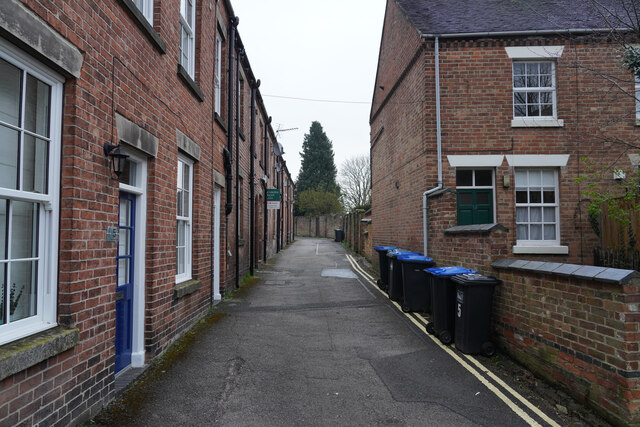
One of the notable features of The Leys is its traditional stone-built cottages, which give the village a timeless and rustic appeal. The streets are lined with flowering gardens and well-maintained hedges, creating a welcoming atmosphere for both residents and visitors.

Despite its small size, The Leys offers a range of amenities to cater to its community. These include a local pub, a village hall, and a small convenience store. The village also has a primary school, providing education for the local children.

For outdoor enthusiasts, The Leys offers plenty of opportunities to explore the natural beauty of the surrounding area. The nearby Peak District National Park is a haven for hikers, cyclists, and nature lovers, with its vast network of trails and breathtaking viewpoints.

Overall, The Leys is a serene and idyllic village that offers a peaceful retreat for those looking to escape the hustle and bustle of city life. Its stunning surroundings and friendly community make it a truly desirable place to live or visit in Derbyshire.

If you have any feedback on the listing, please let us know in the comments section below.
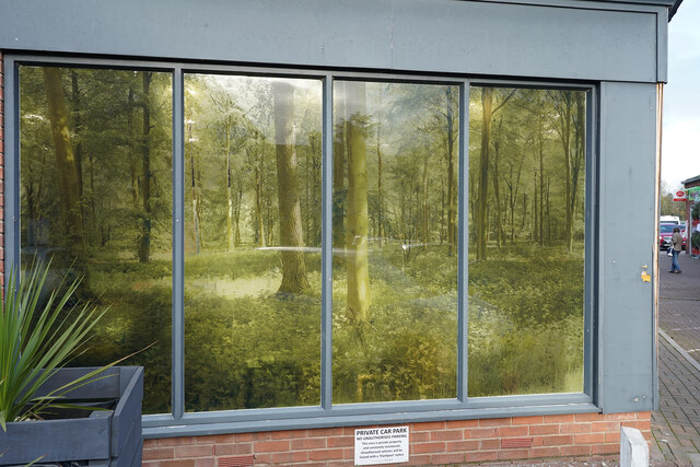
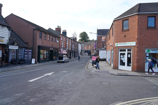
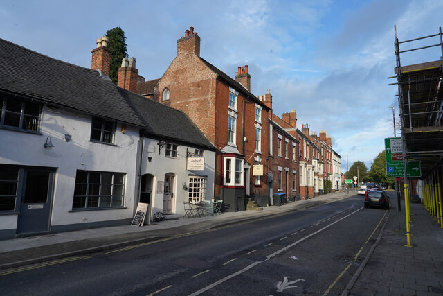
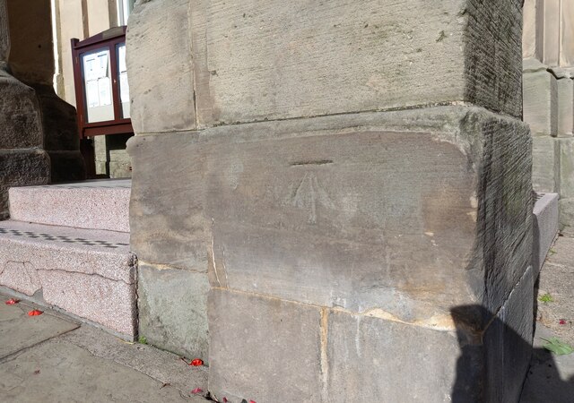
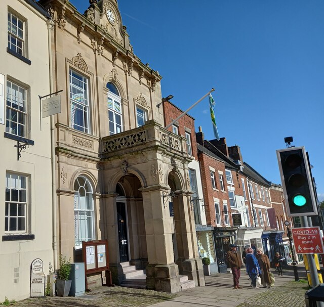
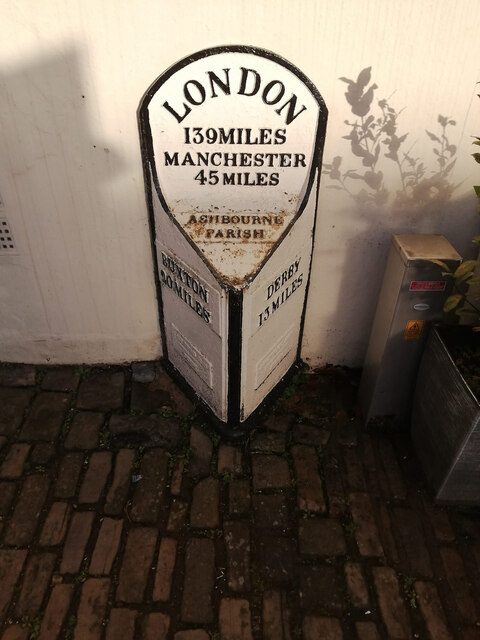
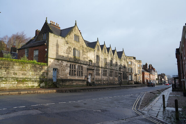
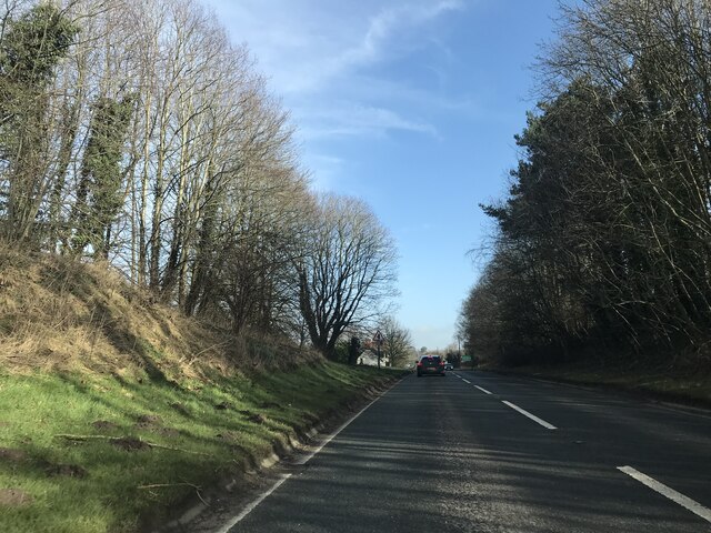
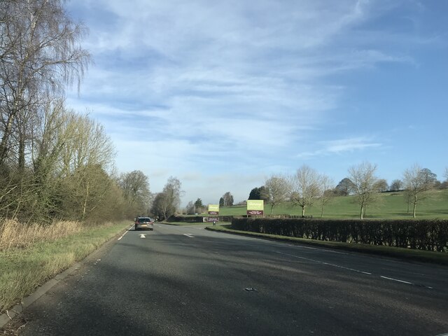
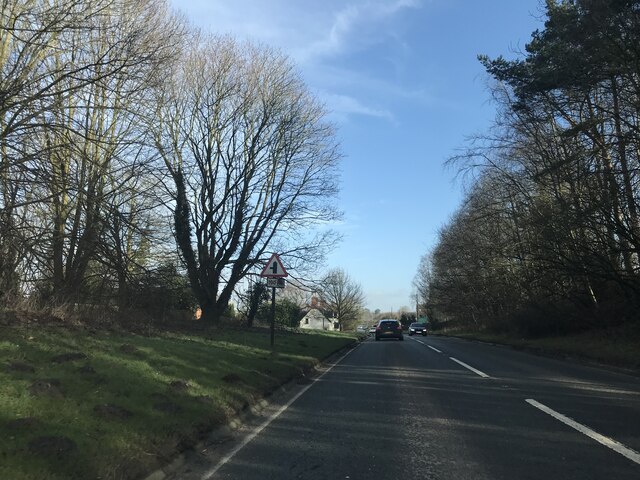
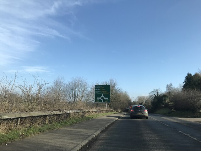
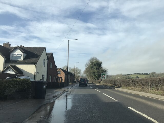
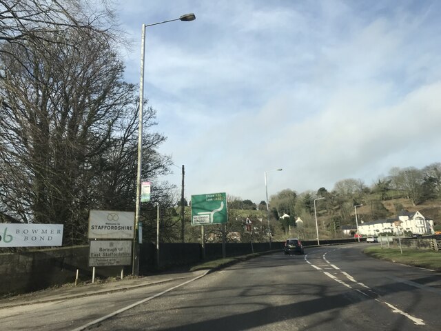
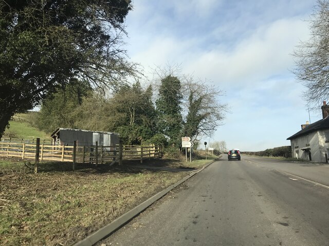
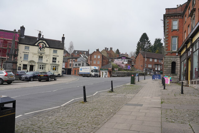
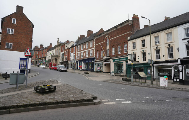
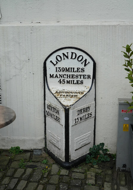
The Leys Images

Images are sourced within 2km of 53.010562/-1.7383185 or Grid Reference SK1745. Thanks to Geograph Open Source API. All images are credited.

Interesting windows The windows are semi-transparent, with sylvan designs, which I assume to be either very lightly painted or plastic film with the design printed. Which ever it is very effective.
Interesting windows
The windows are semi-transparent, with sylvan designs, which I assume to be either very lightly painted or plastic film with the design printed. Which ever it is very effective.
Dig Street Dig Street is now very quiet, comparatively, as the far end has traffic blocked so that it is now a one-way street.
Dig Street
Dig Street is now very quiet, comparatively, as the far end has traffic blocked so that it is now a one-way street.
St. John's Street This short street gets a huge amount of heavy lorry traffic and is rarely so empty.
St. John's Street
This short street gets a huge amount of heavy lorry traffic and is rarely so empty.
Ashbourne Town Council The Town Council building is on the eastern side of Buxton Road. There is a benchmark cut into the right hand pillar at the entrance to the building.
Ashbourne Town Council
The Town Council building is on the eastern side of Buxton Road. There is a benchmark cut into the right hand pillar at the entrance to the building.
Ashbourne Town Council A wider angle showing the entrance to the Town Council building on the eastern side of Buxton Road. There is a benchmark cut into the right hand pillar at the entrance to the building.
Ashbourne Town Council
A wider angle showing the entrance to the Town Council building on the eastern side of Buxton Road. There is a benchmark cut into the right hand pillar at the entrance to the building.
Milestone Victoria Square In the narrow pedestrianised part of the road.
Earlier images see <a href="https://www.geograph.org.uk/photo/336438">SK1846 : Milepost, Ashbourne town centre</a> & <a href="https://www.geograph.org.uk/photo/582336">SK1846 : Milepost, Ashbourne</a>

Inscription: London / 139Miles / Manchester / 45 Miles / Ashbourne /  Parish //
Buxton / 20 miles // Derby / 13 Miles
Maker: J. HAYWOOD JUNR / PHOENIX FOUNDRY / DERBY 

Milestone Society National ID: DE_LMA139
Milestone Victoria Square
In the narrow pedestrianised part of the road. Earlier images see SK1846 : Milepost, Ashbourne town centre & SK1846 : Milepost, Ashbourne Inscription: London / 139Miles / Manchester / 45 Miles / Ashbourne / Parish // Buxton / 20 miles // Derby / 13 Miles Maker: J. HAYWOOD JUNR / PHOENIX FOUNDRY / DERBY Milestone Society National ID: DE_LMA139
Shadows on the old Grammar School Taken from School Lane looking towards the centre of Ashbourne. The shadows on the 'Old Grammar School' are from the Old House and Mansion House opposite the former school buildings. The grammar school was endowed in 1585 during the reign of Elizabeth I. These buildings are now flats and the school is in a different part of the town.

Beyond the shadows is the Grey House.
Shadows on the old Grammar School
Taken from School Lane looking towards the centre of Ashbourne. The shadows on the 'Old Grammar School' are from the Old House and Mansion House opposite the former school buildings. The grammar school was endowed in 1585 during the reign of Elizabeth I. These buildings are now flats and the school is in a different part of the town. Beyond the shadows is the Grey House.
A515 view
A515 view
Garden Centre signage
Junction signage - A515
Roundabout signage - Ashbourne
Houses in Hangingbridge
Welcome to Staffordshire
Junction signage outside Mayfield
A quiet time in Ashbourne With many cars parked on the Market Place this is obviously a day without any market stalls.
A quiet time in Ashbourne
With many cars parked on the Market Place this is obviously a day without any market stalls.
Looking up Buxton Road This view belies the busy Buxton Road. It is traversed by many large HGV's in both directions and is the main reason Ashbourne has been waiting more than 50 years for a bypass on this side of the town.
Looking up Buxton Road
This view belies the busy Buxton Road. It is traversed by many large HGV's in both directions and is the main reason Ashbourne has been waiting more than 50 years for a bypass on this side of the town.
Town Hall Yard Looking along Town Hall Yard towards Hall Lane.
Town Hall Yard
Looking along Town Hall Yard towards Hall Lane.
A milepost in Ashbourne Situated just to the left of the former Market Hall, later the Town Hall is this milepost.
A milepost in Ashbourne
Situated just to the left of the former Market Hall, later the Town Hall is this milepost.
Show me another place!

The Leys is located at Grid Ref: SK1745 (Lat: 53.010562, Lng: -1.7383185)

Administrative County: Derbyshire

District: Derbyshire Dales

Police Authority: Derbyshire

What 3 Words

///foremost.discloses.valid. Near Ashbourne, Derbyshire

Nearby Locations

The Leys

Related Wikis

St Oswald's Hospital

St Oswald's Hospital is a healthcare facility on Clifton Road in Ashbourne, Derbyshire, England. It is managed by Derbyshire Community Health Services...

Ashbourne railway station

Ashbourne railway station formerly served the town of Ashbourne in Derbyshire. There have been two stations in the town. The first, opened in 1852, was...

St Oswald's Church, Ashbourne

St Oswald's Church is a Church of England parish church located in Ashbourne, in the county of Derbyshire, England. == Background == The church is named...

Ashbourne, Derbyshire

Ashbourne is a market town in the Derbyshire Dales district in Derbyshire, England. Its population was measured at 8,377 in the 2011 census and was estimated...

Nearby Amenities

Located within 500m of 53.010562,-1.7383185
Mini Roundabout
Direction: clockwise
Lat/Long: 53.013688/-1.7354037
Mini Roundabout
Lat/Long: 53.0134315/-1.7379878
Bicycle Parking
Capacity: 28
Lat/Long: 53.0097082/-1.7438499
Turning Circle
Source: bing
Lat/Long: 53.0103742/-1.7400491
Post Box
Brand: Royal Mail
Brand Wikidata: Q638098
Brand Wikipedia: en:Royal Mail
Mapillary: 362623465515364
Operator: Royal Mail
Operator Wikidata: Q638098
Post Box Mounting: pier
Post Box Type: lamp
Ref: DE6 118
Survey Date: 2021-06-24
Lat/Long: 53.0101637/-1.7415959
Post Box
Brand: Royal Mail
Brand Wikidata: Q638098
Mapillary: 573890733968949
Operator: Royal Mail
Operator Wikidata: Q638098
Post Box Mounting: stone_wall
Post Box Type: wall
Ref: DE6 823
Survey Date: 2021-09-01
Lat/Long: 53.0128227/-1.7431513
Entrance: main
Wheelchair: yes
Lat/Long: 53.0131376/-1.7389118
Place Of Worship
Elim Pentecostal Church
Addr City: Ashbourne
Addr Postcode: DE6 1DT
Addr Street: Clifton Road
Religion: christian
Lat/Long: 53.0104595/-1.7420001
Bicycle Parking
Bicycle Parking: lockers
Capacity: 4
Note: Keys from Leisure Centre £5 refundable deposit
Operator: DDDC
Lat/Long: 53.014227/-1.7363297
Bicycle Parking
Bicycle Parking: stands
Capacity: 20
Covered: yes
Lat/Long: 53.0134154/-1.7385401
Doctors
Ashbourne Medical Practice
Addr City: Ashbourne
Addr Postcode: DE6 1DR
Addr Street: Leisure Way
Healthcare: doctor
Website: https://www.ashbournemedicalpractice.co.uk/
Lat/Long: 53.0135659/-1.7387181
Pharmacy
Ashbourne Pharmacy
Addr City: Ashbourne
Addr Postcode: DE6 1RR
Addr Street: Clifton Road
Dispensing: yes
Healthcare: pharmacy
Old Name: Lloyds Pharmacy
Lat/Long: 53.0136563/-1.7381548
Doctors
Description: Doctors_/_GP practice
Healthcare: doctor
Lat/Long: 53.013369/-1.7375057
Cafe
Marks and Spencer
Addr City: Ashbourne
Addr Parentstreet: Waterside Road
Addr Place: Waterside Retail Park
Addr Postcode: DE6 1DG
Lat/Long: 53.0099005/-1.743471
Power: pole
Lat/Long: 53.0074348/-1.7417562
Barrier: kissing_gate
Material: metal
Source: survey;gps
Lat/Long: 53.0148856/-1.7398686
Fuel
Addr City: Ashbourne
Addr Postcode: DE6 1AR
Addr Street: Mayfield Road
Brand: Dove Service Station
Lat/Long: 53.0130825/-1.7422272
Barrier: stile
Foot: yes
Stile: stepover
Lat/Long: 53.0081261/-1.7430716
Bench
Backrest: yes
Material: metal
Lat/Long: 53.0137344/-1.741451
Bench
Backrest: yes
Material: metal
Lat/Long: 53.0140014/-1.7410621
Bench
Backrest: yes
Material: metal
Lat/Long: 53.0141701/-1.7408207
Generator Method: photovoltaic
Generator Output Electricity: yes
Generator Source: solar
Generator Type: solar_photovoltaic_panel
Location: roof
Power: generator
Lat/Long: 53.0078166/-1.7345563
Toilets
Lat/Long: 53.0101882/-1.7436682
Entrance: yes
Lat/Long: 53.0093849/-1.7444763
Toilets
Lat/Long: 53.009621/-1.7449779
Defibrillator
Access: yes
Check Date: 2023-03-10
Defibrillator Location: On outside wall. Available 24/7.
Emergency: defibrillator
Indoor: no
Not Ref GB The Circuit: 46EAA1A9-2373-46EF-BA7F-AFE8007556BE
Opening Hours: 24/7
Lat/Long: 53.0099316/-1.7424177
Generator Method: photovoltaic
Generator Output Electricity: yes
Generator Source: solar
Generator Type: solar_photovoltaic_panel
Location: roof
Power: generator
Lat/Long: 53.0100015/-1.7377801
Generator Method: photovoltaic
Generator Output Electricity: yes
Generator Source: solar
Generator Type: solar_photovoltaic_panel
Location: roof
Power: generator
Lat/Long: 53.0099741/-1.7376245
Generator Method: photovoltaic
Generator Output Electricity: yes
Generator Source: solar
Generator Type: solar_photovoltaic_panel
Location: roof
Power: generator
Lat/Long: 53.0100193/-1.7369888
Generator Method: photovoltaic
Generator Output Electricity: yes
Generator Source: solar
Generator Type: solar_photovoltaic_panel
Location: roof
Power: generator
Lat/Long: 53.0100193/-1.7369405
Generator Method: photovoltaic
Generator Output Electricity: yes
Generator Source: solar
Generator Type: solar_photovoltaic_panel
Location: roof
Power: generator
Lat/Long: 53.0107584/-1.7370988
Generator Method: photovoltaic
Generator Output Electricity: yes
Generator Source: solar
Generator Type: solar_photovoltaic_panel
Location: roof
Power: generator
Lat/Long: 53.0098127/-1.7391614
Generator Method: photovoltaic
Generator Output Electricity: yes
Generator Source: solar
Generator Type: solar_photovoltaic_panel
Location: roof
Power: generator
Lat/Long: 53.0098934/-1.7393518
Generator Method: photovoltaic
Generator Output Electricity: yes
Generator Source: solar
Generator Type: solar_photovoltaic_panel
Location: roof
Power: generator
Lat/Long: 53.0098222/-1.7411074
Generator Method: photovoltaic
Generator Output Electricity: yes
Generator Source: solar
Generator Type: solar_photovoltaic_panel
Location: roof
Power: generator
Lat/Long: 53.0098997/-1.7412924
Generator Method: photovoltaic
Generator Output Electricity: yes
Generator Source: solar
Generator Type: solar_photovoltaic_panel
Location: roof
Power: generator
Lat/Long: 53.0094898/-1.7416223
Generator Method: photovoltaic
Generator Output Electricity: yes
Generator Source: solar
Generator Type: solar_photovoltaic_panel
Location: roof
Power: generator
Lat/Long: 53.0094607/-1.7415258
Generator Method: photovoltaic
Generator Output Electricity: yes
Generator Source: solar
Generator Type: solar_photovoltaic_panel
Location: roof
Power: generator
Lat/Long: 53.0093881/-1.7413729
Generator Method: photovoltaic
Generator Output Electricity: yes
Generator Source: solar
Generator Type: solar_photovoltaic_panel
Location: roof
Power: generator
Lat/Long: 53.009067/-1.739549
Generator Method: photovoltaic
Generator Output Electricity: yes
Generator Source: solar
Generator Type: solar_photovoltaic_panel
Location: roof
Power: generator
Lat/Long: 53.0091251/-1.7391788
Generator Method: photovoltaic
Generator Output Electricity: yes
Generator Source: solar
Generator Type: solar_photovoltaic_panel
Location: roof
Power: generator
Lat/Long: 53.009159/-1.7389535
Generator Method: photovoltaic
Generator Output Electricity: yes
Generator Source: solar
Generator Type: solar_photovoltaic_panel
Location: roof
Power: generator
Lat/Long: 53.0091735/-1.7388436
Generator Method: photovoltaic
Generator Output Electricity: yes
Generator Source: solar
Generator Type: solar_photovoltaic_panel
Location: roof
Power: generator
Lat/Long: 53.0092187/-1.7385914
Direction: SSW
Generator Method: photovoltaic
Generator Output Electricity: yes
Generator Source: solar
Generator Type: solar_photovoltaic_panel
Location: roof
Power: generator
Lat/Long: 53.0084701/-1.7336513
Direction: SSW
Generator Method: photovoltaic
Generator Output Electricity: yes
Generator Solar Modules: 10
Generator Source: solar
Generator Type: solar_photovoltaic_panel
Location: roof
Power: generator
Lat/Long: 53.0075452/-1.7348914
Direction: SE
Generator Method: photovoltaic
Generator Output Electricity: yes
Generator Solar Modules: 8
Generator Source: solar
Generator Type: solar_photovoltaic_panel
Location: roof
Power: generator
Lat/Long: 53.0119659/-1.7441683
Direction: SE
Generator Method: photovoltaic
Generator Output Electricity: yes
Generator Solar Modules: 4
Generator Source: solar
Generator Type: solar_photovoltaic_panel
Location: roof
Power: generator
Lat/Long: 53.0119094/-1.7442984
Direction: SSE
Generator Method: photovoltaic
Generator Output Electricity: yes
Generator Solar Modules: 16
Generator Source: solar
Generator Type: solar_photovoltaic_panel
Location: roof
Power: generator
Lat/Long: 53.0115201/-1.7450205
Direction: SE
Generator Method: photovoltaic
Generator Output Electricity: yes
Generator Solar Modules: 14
Generator Source: solar
Generator Type: solar_photovoltaic_panel
Location: roof
Power: generator
Lat/Long: 53.0118211/-1.7451017
Bus Stop
Lodge Avenue
Bus: yes
Naptan AtcoCode: 1000D0008015
Naptan NaptanCode: dbsadpwp
Public Transport: platform
Lat/Long: 53.0103459/-1.7414537
Bus Stop
Lodge Avenue
Bus: yes
Naptan AtcoCode: 1000DACR5675
Naptan NaptanCode: dbsgwtpa
Public Transport: platform
Lat/Long: 53.0101874/-1.7417655
Bus Stop
Hospital
Bus: yes
Public Transport: platform
Lat/Long: 53.0123466/-1.7390994
Bus Stop
Hospital
Bus: yes
Public Transport: platform
Lat/Long: 53.0121751/-1.7395701
Crossing
Crossing: marked
Lat/Long: 53.0093088/-1.7444717
Crossing
Crossing: marked
Lat/Long: 53.0097829/-1.7432819
Ashbourne
Abandoned Railway: station
Railway: site
Wikidata: Q4804631
Wikipedia: en:Ashbourne railway station
Lat/Long: 53.0146336/-1.7358419
Historic Railway: junction
Wikidata: Q124338112
Lat/Long: 53.0142884/-1.7361189
Acres Signs & Graphics
Addr Street: North Leys
Craft: signmaker
Lat/Long: 53.0133887/-1.7345773
Paul Williamson
Shop: frame
Lat/Long: 53.0135017/-1.7345862
The data included in this document is from www.openstreetmap.org. The data is made available under ODbL.

Have you been to The Leys?

Leave your review of The Leys below (or comments, questions and feedback).