The Ling
Settlement in Norfolk Breckland
England
The Ling
The Ling is a small village located in the county of Norfolk, England. Situated in the South Norfolk district, it is positioned approximately 12 miles south of the city of Norwich. The village is surrounded by picturesque countryside, offering residents and visitors a tranquil and scenic environment.
The Ling is a rural community with a relatively small population. It is characterized by its charming traditional cottages, which add to the village's quaint and idyllic atmosphere. The village boasts a close-knit community, with a friendly and welcoming atmosphere that is often associated with rural villages.
Although The Ling is primarily a residential area, it offers some amenities for its residents. These include a local pub, providing a gathering place for locals to socialize and enjoy a drink or a meal. The village also benefits from a village hall, which serves as a venue for various community events and activities.
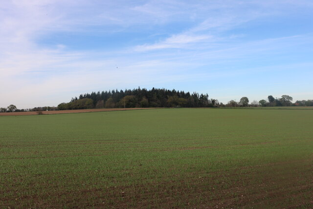
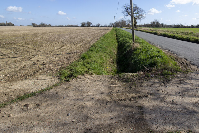
For those seeking outdoor activities, The Ling is surrounded by beautiful countryside, perfect for leisurely walks or bike rides. The village is also well-placed for exploring the wider Norfolk area, with easy access to nearby attractions such as historic market towns, nature reserves, and the famous Norfolk Broads.
In summary, The Ling is a charming and peaceful village in Norfolk, offering residents and visitors a tranquil rural lifestyle. With its picturesque surroundings and close-knit community, it is an ideal place for those seeking a slower pace of life and a connection with nature.
If you have any feedback on the listing, please let us know in the comments section below.
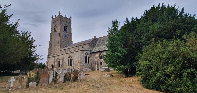
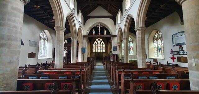
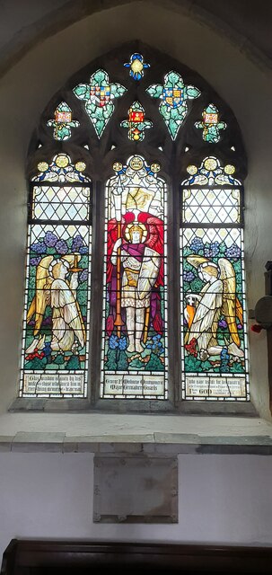
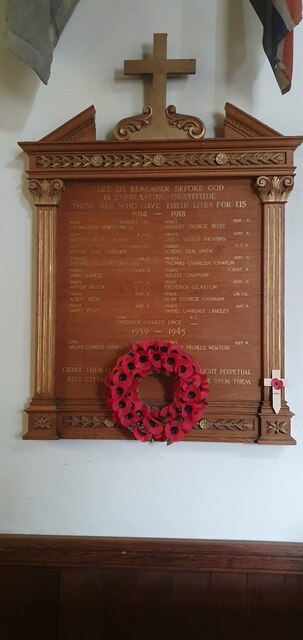
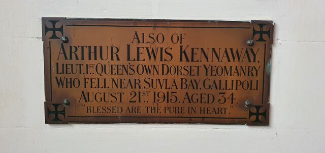
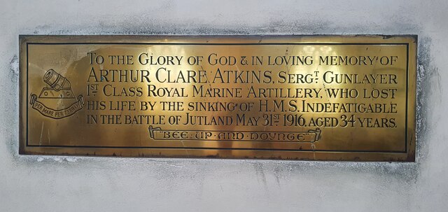
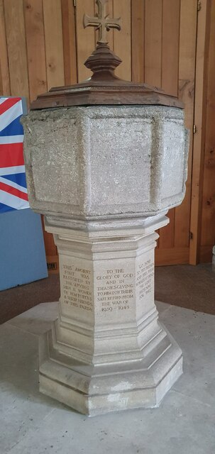
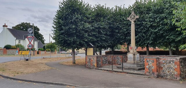
The Ling Images
Images are sourced within 2km of 52.40407/0.96214614 or Grid Reference TM0182. Thanks to Geograph Open Source API. All images are credited.


The Ling is located at Grid Ref: TM0182 (Lat: 52.40407, Lng: 0.96214614)
Administrative County: Norfolk
District: Breckland
Police Authority: Norfolk
What 3 Words
///limelight.credited.paddlers. Near East Harling, Norfolk
Nearby Locations
Related Wikis
Garboldisham
Garboldisham () is a village and civil parish in the English county of Norfolk. The village is located 7.1 miles (11.4 km) north-west of Diss and 22 miles...

North Lopham
North Lopham is a village and civil parish in the English county of Norfolk. It covers an area of 8.17 km2 (3.15 sq mi) and had a population of 623 in...
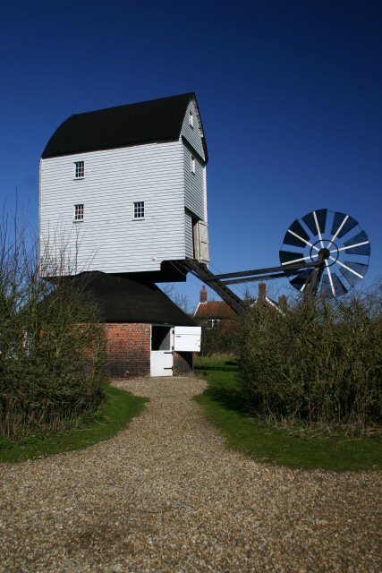
Garboldisham Windmill
Garboldisham Mill is a Grade II* listed post mill at Garboldisham, Norfolk, that has been restored. == History == Although millers were recorded in Garboldisham...
South Lopham
South Lopham is a village and civil parish in the English county of Norfolk. It covers an area of 7.91 km2 (3.05 sq mi) and had a population of 371 in...
Related Videos

Banham Zoo Virtual Run June 2020
The Fox Trotters social running group take part in a 5K virtual run to help raise funds for our local Zoo here at Banham.

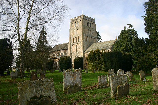
South Lopham Church
With its massive crenelated Norman tower and blind arcading, St. Andrews could almost be mistaken for a Norman castle.
Fox Trotters fancy dress Christmas Fun Run 2023.
Fox Trotters Christmas Run 2023.. …. Here's the video we have put together from our #foxtrotters #christmas #fancydress get ...

Fo Trotters Social running group Garboldisham April 2020
We come together every Saturday during lockdown to do our social distancing runs keeping fit & healthy.
Nearby Amenities
Located within 500m of 52.40407,0.96214614Have you been to The Ling?
Leave your review of The Ling below (or comments, questions and feedback).