Maybury

Settlement in Surrey Woking

England

Maybury

Apartments in Mount Hermon Road
Apartments in Mount Hermon Road Credit: Basher Eyre

Maybury is a suburban area located in the borough of Woking, Surrey, in the southeastern part of England. It is situated approximately 25 miles southwest of central London. Maybury is bordered by the towns of Sheerwater and Old Woking, and it is conveniently located close to the M25 motorway, providing easy access to other parts of the country.

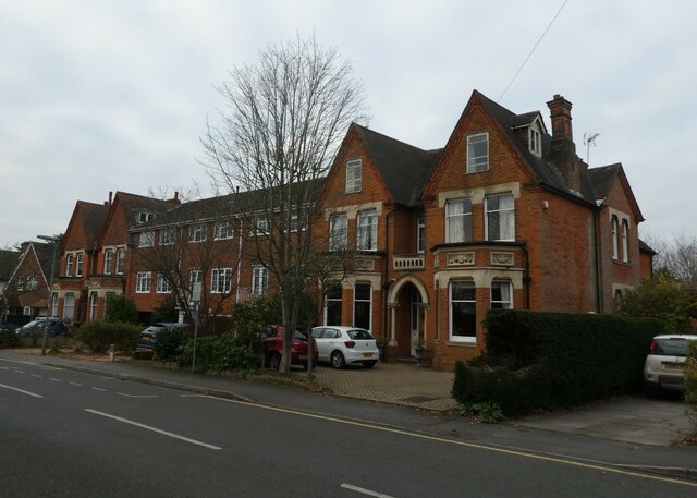
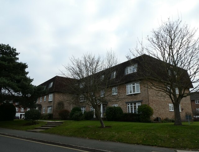
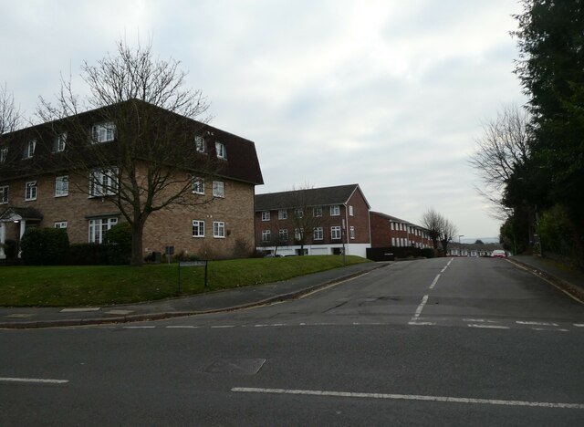
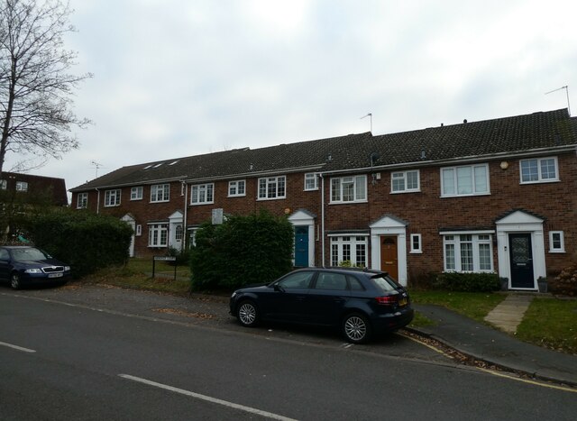
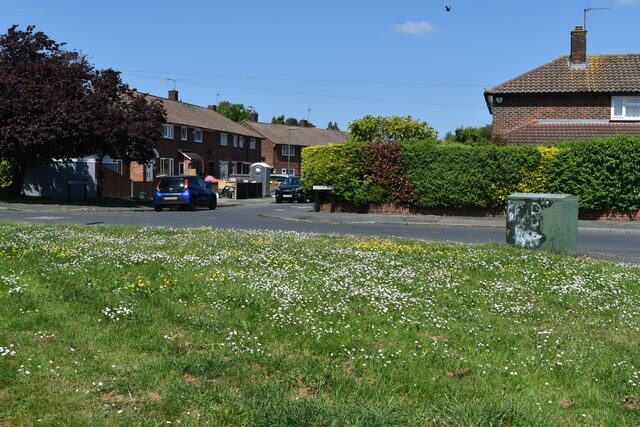
The area of Maybury is predominantly residential, characterized by a mix of housing types including detached houses, semi-detached houses, and terraced houses. There are also a number of purpose-built apartment buildings and some council estates. The housing in Maybury is generally well-maintained, with many properties featuring small gardens and off-street parking.

Maybury benefits from a range of local amenities, including several schools, parks, and recreational facilities. The area has a primary school, making it an attractive location for families with young children. The nearby Woking town center offers a variety of shopping options, restaurants, and entertainment venues, including the New Victoria Theatre and The Lightbox art gallery.

Transportation in Maybury is well-served with multiple bus routes connecting the area to neighboring towns and villages. Woking train station, located just over a mile away, provides regular services to London Waterloo, making it a popular choice for commuters.

In summary, Maybury is a pleasant residential area in Surrey, offering a range of amenities and convenient transport links, making it an attractive place to live for families and commuters alike.

If you have any feedback on the listing, please let us know in the comments section below.
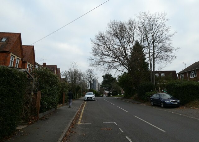
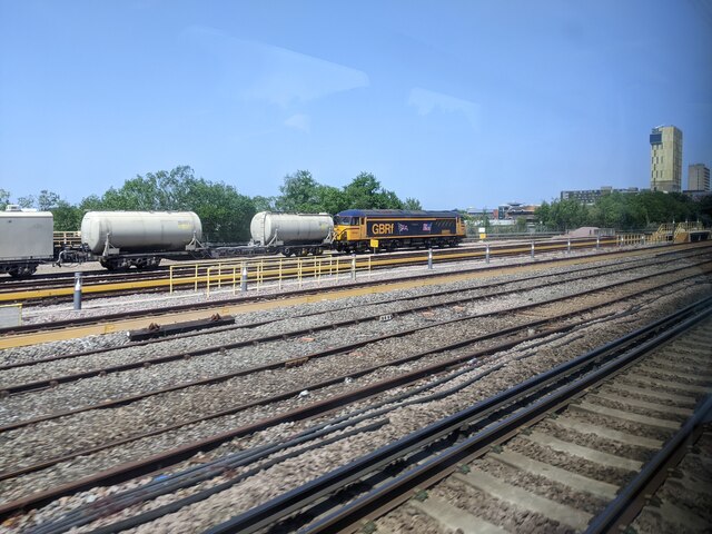
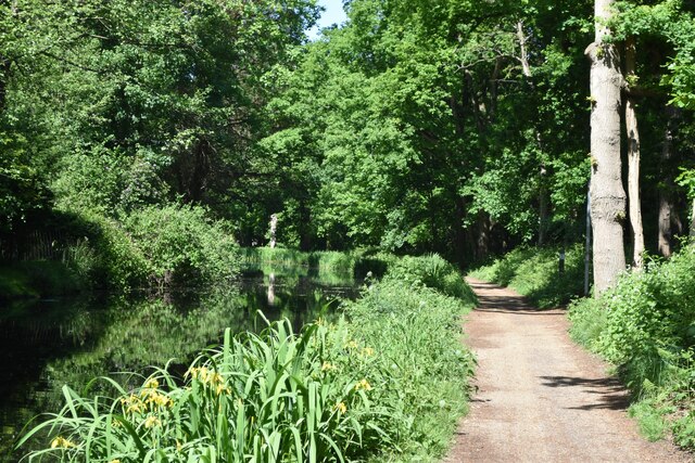
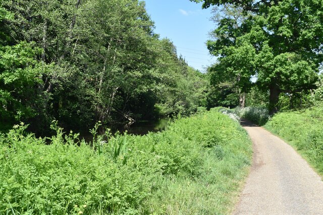
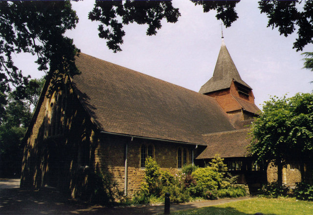
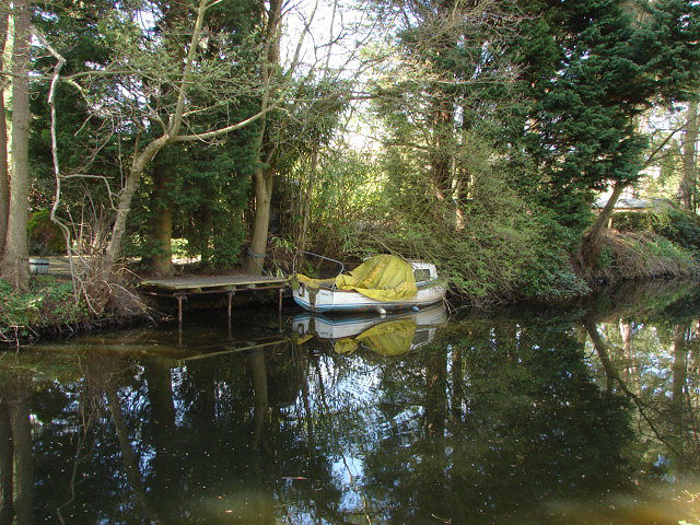
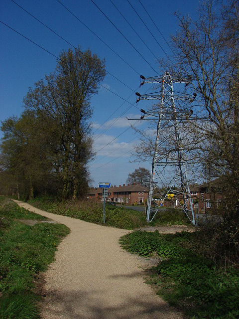
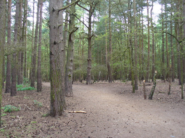
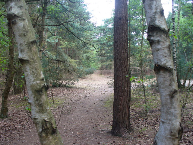
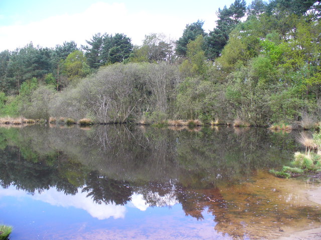
Maybury Images

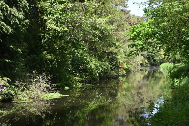
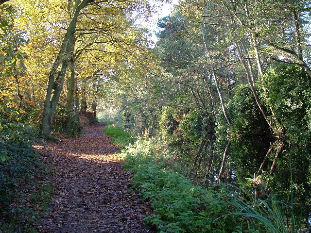
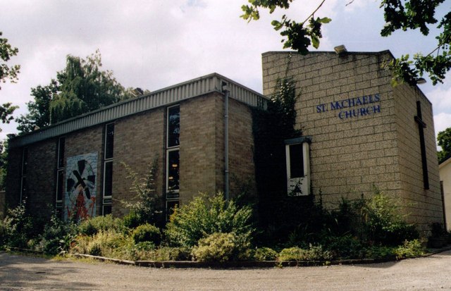
Images are sourced within 2km of 51.319706/-0.541697 or Grid Reference TQ0158. Thanks to Geograph Open Source API. All images are credited.

Apartments in Mount Hermon Road
Winter trees in Mount Hermon Road
Looking from Mount Hermon Road into Midhope Road
Hanover Court, Mount Hermon Road
Mount Hermon Road: December 2021
Goods train in sidings west of Woking station, class 69, no. 69001 Mayflower
Basingstoke Canal and towpath at Sheerwater
Basingstoke Canal, adjacent to Blackmore Crescent
View across verge at north end of Bentham Avenue
Basingstoke Canal, Sheerwater, Woking
St Michael, Sheerwater
All Saints, Woodham Grade 2 listed building erected in 1893.
All Saints, Woodham
Grade 2 listed building erected in 1893.
Basingstoke Canal Old boat moored on the Woodham Hall Estate bank of the Basingstoke Canal
Basingstoke Canal
Old boat moored on the Woodham Hall Estate bank of the Basingstoke Canal
Basingstoke Canal Electricity pylon on the eastern bank of the canal by the exit to Blackmore Crescent, Sheerwater.
Basingstoke Canal
Electricity pylon on the eastern bank of the canal by the exit to Blackmore Crescent, Sheerwater.
Horsell Common Sandy path leading into the pine woods on this rare piece of Surrey heathland.
<span class="nowrap"><a title="http://www.horsellcommon.co.uk/" rel="nofollow ugc noopener" href="http://www.horsellcommon.co.uk/">Link</a><img style="margin-left:2px;" alt="External link" title="External link - shift click to open in new window" src="https://s1.geograph.org.uk/img/external.png" width="10" height="10"/></span>
Horsell Common
Sandy path leading into the pine woods on this rare piece of Surrey heathland. LinkExternal link
Woodland on Horsell Common The sandy heathland holds birch, holly, fir and pine trees and is criss-crossed by a dense matrix of paths.
<span class="nowrap"><a title="http://www.horsellcommon.co.uk/" rel="nofollow ugc noopener" href="http://www.horsellcommon.co.uk/">Link</a><img style="margin-left:2px;" alt="External link" title="External link - shift click to open in new window" src="https://s1.geograph.org.uk/img/external.png" width="10" height="10"/></span>
Woodland on Horsell Common
The sandy heathland holds birch, holly, fir and pine trees and is criss-crossed by a dense matrix of paths. LinkExternal link
Danewell Pond Wooded pond in a sandy depression on Horsell Common. This heathland area north of Woking is popular with walkers.
<span class="nowrap"><a title="http://www.horsellcommon.co.uk/" rel="nofollow ugc noopener" href="http://www.horsellcommon.co.uk/">Link</a><img style="margin-left:2px;" alt="External link" title="External link - shift click to open in new window" src="https://s1.geograph.org.uk/img/external.png" width="10" height="10"/></span>
Danewell Pond
Wooded pond in a sandy depression on Horsell Common. This heathland area north of Woking is popular with walkers. LinkExternal link
Show me another place!

Maybury is located at Grid Ref: TQ0158 (Lat: 51.319706, Lng: -0.541697)

Administrative County: Surrey

District: Woking

Police Authority: Surrey

What 3 Words

///towers.taking.hurray. Near Woking, Surrey

Nearby Locations

Maybury Hockering Estate

Related Wikis

St Dunstan's Church, Woking

St Dunstan's Church is a Roman Catholic Parish church in Woking, Surrey. At first it was built in 1899, replaced by a larger church in 1923 and its final...

Shah Jahan Mosque, Woking

The Shah Jahan Mosque (also known as Woking Mosque) in Oriental Road, Woking, England, is the first purpose-built mosque in the United Kingdom. Built in...

Woking power station

Woking power station supplied electricity to the Borough of Woking and the surrounding area from 1890 to 1960. The power station was operated by the Woking...

Woking

Woking ( WOH-king) is a town and borough in northwest Surrey, England, around 23 mi (36 km) from central London. It appears in Domesday Book as Wochinges...

Nearby Amenities

Located within 500m of 51.319706,-0.541697
Mini Roundabout
Direction: clockwise
Lat/Long: 51.3228315/-0.5413458
Mini Roundabout
Direction: clockwise
Lat/Long: 51.322569/-0.5409641
Post Box
Brand: Royal Mail
Brand Wikidata: Q638098
Collection Plate: CP7D
Collection Times: Mo-Fr 09:00; Sa 07:00; Su off
Lastcheck: 2021-09-23
Operator: Royal Mail
Operator Wikidata: Q638098
Post Box Type: lamp
Postal Code: GU22
Ref: GU22 41D
Royal Cypher: EIIR
Royal Cypher Wikidata: Q33102113
Source: survey
Lat/Long: 51.3190262/-0.5458904
Post Box
Collection Times: Mo-Fr 09:00; Sa 07:00
Operator: Royal Mail
Operator Wikidata: Q638098
Post Box Type: wall
Ref: GU22 15D
Royal Cypher: GR
Royal Cypher Wikidata: Q33102273
Lat/Long: 51.3204305/-0.5401559
Bus Stop
College Road
Addr City: Woking
Addr Street: College Road
Bus: yes
Naptan AtcoCode: 40004404028A
Naptan Bearing: SE
Naptan CommonName: College Road
Naptan Indicator: SE-bound
Naptan Landmark: College Road
Naptan NaptanCode: surgdgpa
Naptan PlusbusZoneRef: WOKING
Naptan Street: College Road
Naptan Verified: no
Public Transport: platform
Source: naptan_import
Wheelchair: yes
Wheelchair Description: Step-free to stop opposite via dipped kerbs (not tactile) at Sandy Lane to east
Lat/Long: 51.3220753/-0.5379669
Bus Stop
College Road
Addr City: Woking
Addr Street: College Road
Bus: yes
Naptan AtcoCode: 40004404028B
Naptan Bearing: NW
Naptan CommonName: College Road
Naptan Indicator: NW-bound
Naptan Landmark: College Road
Naptan NaptanCode: surgdgpd
Naptan PlusbusZoneRef: WOKING
Naptan Street: College Road
Naptan Verified: no
Public Transport: platform
Source: naptan_import
Wheelchair: yes
Wheelchair Description: Step-free to stop opposite via dipped kerbs (not tactile) at Sandy Lane to east
Lat/Long: 51.3221934/-0.5390862
Bus Stop
Shaftesbury Road
Naptan AtcoCode: 40004404032A
Naptan Bearing: NW
Naptan CommonName: Shaftesbury Road
Naptan Indicator: Just Before
Naptan Landmark: Shaftesbury Road
Naptan NaptanCode: surgdgta
Naptan PlusbusZoneRef: WOKING
Naptan Street: Maybury Hill
Naptan Verified: no
Public Transport: platform
Shelter: no
Source: naptan_import
Lat/Long: 51.3174679/-0.5390979
Bus Stop
Shaftesbury Road
Naptan AtcoCode: 40004404032B
Naptan Bearing: SE
Naptan CommonName: Shaftesbury Road
Naptan Indicator: Just after
Naptan Landmark: Shaftesbury Road
Naptan NaptanCode: surgdgtd
Naptan PlusbusZoneRef: WOKING
Naptan Street: Maybury Hill
Naptan Verified: no
Public Transport: platform
Shelter: no
Source: naptan_import
Lat/Long: 51.3172204/-0.5388393
Bus Stop
The Ridge
Bus: yes
Naptan AtcoCode: 40004404033A
Naptan Bearing: NW
Naptan CommonName: The Ridge
Naptan Indicator: Just after
Naptan Landmark: The Ridge
Naptan NaptanCode: surgdgtg
Naptan PlusbusZoneRef: WOKING
Naptan Street: Maybury Hill
Naptan Verified: no
Public Transport: platform
Source: naptan_import
Lat/Long: 51.3199408/-0.5400538
Bus Stop
The Ridge
Bus: yes
Naptan AtcoCode: 40004404033B
Naptan Bearing: SE
Naptan BusStopType: CUS
Naptan CommonName: The Ridge
Naptan Indicator: Just before
Naptan Landmark: The Ridge
Naptan NaptanCode: surgpgwp
Naptan Street: Maybury Hill
Naptan Verified: no
Public Transport: platform
Shelter: no
Source: naptan_import
Lat/Long: 51.3199137/-0.5398697
Bus Stop
Lavender Road
Bus: yes
Naptan AtcoCode: 40004404034A
Naptan Bearing: NW
Naptan CommonName: Lavender Road
Naptan Indicator: Opp
Naptan Landmark: Lavender Road
Naptan NaptanCode: surgdgtj
Naptan PlusbusZoneRef: WOKING
Naptan Street: Maybury Hill
Naptan Verified: no
Public Transport: platform
Shelter: no
Source: naptan_import
Lat/Long: 51.3214209/-0.5406999
Bus Stop
Lavender Road
Bus: yes
Naptan AtcoCode: 40004404034B
Naptan Bearing: SE
Naptan CommonName: Lavender Road
Naptan Indicator: adj
Naptan Landmark: Lavender Road
Naptan NaptanCode: surgdgtm
Naptan PlusbusZoneRef: WOKING
Naptan Street: Maybury Hill
Naptan Verified: no
Public Transport: platform
Shelter: no
Source: naptan_import
Lat/Long: 51.3207719/-0.5402248
Bus Stop
Kings Road
Bus: yes
Naptan AtcoCode: 40004404049A
Naptan Bearing: SW
Naptan CommonName: Kings Road
Naptan Indicator: Just after
Naptan Landmark: Kings Road
Naptan NaptanCode: surgdjgd
Naptan PlusbusZoneRef: WOKING
Naptan Street: Maybury Road
Naptan Verified: no
Public Transport: platform
Source: naptan_import
Lat/Long: 51.3233888/-0.545547
Bus Stop
Woking Homes
Bench: no
Naptan AtcoCode: 40004404068B
Naptan Bearing: NE
Naptan CommonName: Woking Homes
Naptan Indicator: adj
Naptan Landmark: Woking Homes
Naptan NaptanCode: surgdjwt
Naptan PlusbusZoneRef: WOKING
Naptan Street: Oriental Road
Naptan Verified: no
Public Transport: platform
Shelter: no
Source: naptan_import
Source 1: survey
Lat/Long: 51.3213278/-0.5469959
Bus Stop
Lion Retail Park
Naptan AtcoCode: 40004404217A
Naptan Bearing: SW
Naptan CommonName: Lion Retail Park
Naptan Indicator: Just after
Naptan Landmark: Lion Retail Park
Naptan NaptanCode: suradgtd
Naptan PlusbusZoneRef: WOKING
Naptan Street: Oriental Road
Naptan Verified: no
Public Transport: platform
Source: naptan_import
Lat/Long: 51.3222327/-0.5430127
Bus Stop
Lion Retail Park
Naptan AtcoCode: 40004404217B
Naptan Bearing: NE
Naptan CommonName: Lion Retail Park
Naptan Indicator: Just Before
Naptan Landmark: Lion Retail Park
Naptan NaptanCode: suradgtg
Naptan PlusbusZoneRef: WOKING
Naptan Street: Oriental Road
Naptan Verified: no
Public Transport: platform
Source: naptan_import
Lat/Long: 51.3221611/-0.5435218
Bus Stop
Woking Homes
Bus: yes
Naptan AtcoCode: 40004404247A
Naptan Bearing: SW
Naptan CommonName: Woking Homes
Naptan Indicator: Opp
Naptan Landmark: Woking Homes
Naptan NaptanCode: suradjag
Naptan PlusbusZoneRef: WOKING
Naptan Street: Oriental Road
Naptan Verified: no
Public Transport: platform
Shelter: no
Source: naptan_import
Source 1: survey
Lat/Long: 51.3213738/-0.5463746
Pets at Home
Addr City: Woking
Addr Country: GB
Addr Housename: Lion Retail Park
Addr Housenumber: 151
Addr Postcode: GU22 8BD
Addr Street: Oriental Road
Brand: Pets at Home
Brand Wikidata: Q7179258
Check Date: 2017-06-28
Entrance: main
Opening Hours: Mo-Fr 09:00-20:00; Sa 09:00-18:00; Su 10:00-16:00
Shop: pet
Website: https://community.petsathome.com/store/woking/
Lat/Long: 51.3231103/-0.5434088
Entrance: yes
Lat/Long: 51.3223213/-0.5431582
Crossing
Crossing Island: yes
Kerb: lowered
Lat/Long: 51.3225933/-0.5408354
Mini Roundabout
Direction: clockwise
Lat/Long: 51.3225229/-0.5426271
Crossing
Bicycle: yes
Crossing Island: yes
Kerb: lowered
Lat/Long: 51.3229648/-0.541326
Crossing
Crossing Island: yes
Kerb: lowered
Lat/Long: 51.3226131/-0.5424074
Turning Circle
Lat/Long: 51.3158751/-0.5426506
Argos
Addr City: Woking
Addr Country: GB
Addr Housename: Lion Retail Park
Addr Housenumber: 151
Addr Postcode: GU22 8BD
Addr Street: Oriental Road
Brand: Argos
Brand Wikidata: Q4789707
Brand Wikipedia: en:Argos (retailer)
Contact Website: https://www.argos.co.uk/stores/4157-woking-lion-retail-park-argos
Entrance: main
Internet Access: wlan
Internet Access Fee: no
Opening Hours: Mo-Fr 09:00-20:00; Sa 09:00-19:00; Su 10:00-16:00
Shop: catalogue
Lat/Long: 51.3235876/-0.5423075
ALDI
Addr City: Woking
Addr Country: GB
Addr Housename: Lion Retail Park
Addr Housenumber: 151
Addr Postcode: GU22 8BD
Addr Street: Oriental Road
Addr Unit: Unit 4-5
Brand: ALDI
Brand Wikidata: Q41171672
Entrance: main
Shop: supermarket
Website: https://stores.aldi.co.uk/south-east/woking/unit-4-amp-5-lion-retail-park
Lat/Long: 51.3232185/-0.5431809
Aldi
Addr City: Woking
Addr Country: GB
Addr Housename: Lion Retail Park
Addr Housenumber: 151
Addr Postcode: GU22 8BD
Addr Street: Oriental Road
Addr Unit: 3
Entrance: main
Lat/Long: 51.3234085/-0.5427156
Crossing
Crossing Island: yes
Kerb: lowered
Sloped Curb: yes
Lat/Long: 51.3226359/-0.5427835
Crossing
Bicycle: yes
Crossing: traffic_signals
Crossing Island: no
Crossing Ref: toucan
Kerb: lowered
Lat/Long: 51.323771/-0.5416109
Crossing
Crossing Island: yes
Kerb: lowered
Sloped Curb: yes
Lat/Long: 51.3223992/-0.5427569
Barrier: bollard
Lat/Long: 51.3226184/-0.54642
Crossing
Bicycle: yes
Crossing: unmarked
Kerb: lowered
Lat/Long: 51.3226387/-0.5420803
Crossing
Crossing: unmarked
Kerb: lowered
Lat/Long: 51.3234837/-0.5455713
Car Rental
Enterprise
Brand: Enterprise
Brand Wikidata: Q17085454
Brand Wikipedia: en:Enterprise Rent-A-Car
Contact Phone: +44 800 800 227
Contact Website: enterprise.co.uk
Official Name: Enterprise Rent-A-Car
Opening Hours: Mo-Fr 08:00-18:00; Sa 09:00-12:00; Su off
Lat/Long: 51.3227623/-0.5410168
Hobbycraft
Addr City: Woking
Addr Country: GB
Addr Housename: Lion Retail Park
Addr Housenumber: 151
Addr Postcode: GU22 8BD
Addr Street: Oriental Road
Brand: Hobbycraft
Brand Wikidata: Q16984508
Entrance: main
Lastcheck: 2017-06-28
Opening Hours: Mo-Fr 09:00-20:00; Sa 09:00-18:00; Su 10:30-16:30
Shop: craft
Lat/Long: 51.3235084/-0.5424969
Carpetright
Addr City: Woking
Addr Country: GB
Addr Housename: Lion Retail Park
Addr Housenumber: 151
Addr Postcode: GU22 8BD
Addr Street: Oriental Road
Brand: Carpetright
Brand Wikidata: Q5045782
Entrance: main
Opening Hours: Mo-Fr 09:30-18:00; Tu,Th 09:30-20:00; Sa 09:00-18:00; Su 10:30-16:30
Shop: carpet
Website: https://www.carpetright.co.uk/store/woking
Lat/Long: 51.3233101/-0.5429428
Car Wash
Automated: no
Lat/Long: 51.3228018/-0.5405567
Barrier: lift_gate
Lat/Long: 51.3227154/-0.543282
Maybury
Place: neighbourhood
Lat/Long: 51.3198241/-0.5412548
Asda
Addr City: Woking
Addr Country: GB
Addr Housename: Lion Retail Park
Addr Housenumber: 151
Addr Postcode: GU22 8BD
Addr Street: Oriental Road
Addr Unit: 1
Brand: Asda
Brand Wikidata: Q297410
Brand Wikipedia: en:Asda
Contact Facebook: https://www.facebook.com/asda/
Contact Twitter: asda
Contact Website: https://storelocator.asda.com/south-east/woking/unit-1a-lion-retail-park
Entrance: main
Fhrs Id: 225671
Opening Hours: Mo-Sa 07:00-22:00; Su 10:00-16:00
Operator: Asda Stores Ltd
Shop: supermarket
Survey Date: 2017-06-28
Wheelchair: yes
Lat/Long: 51.3236653/-0.542102
Entrance: main
Lat/Long: 51.3229056/-0.5426844
Veterinary
Vets4Pets
Brand: Vets4Pets
Brand Wikidata: Q16960196
Description: In-store vetinary practice
Lat/Long: 51.3234731/-0.5436743
Power: transformer
Source: survey
Lat/Long: 51.3212172/-0.5468822
Crossing
Bicycle: yes
Crossing Island: yes
Kerb: lowered
Lat/Long: 51.3228019/-0.541581
Crossing
Crossing: unmarked
Kerb: lowered
Lat/Long: 51.3225641/-0.5403737
Crossing
Crossing Island: yes
Kerb: lowered
Lat/Long: 51.3226959/-0.5411433
Crossing
Bicycle: yes
Crossing: unmarked
Kerb: lowered
Sloped Curb: yes
Lat/Long: 51.3224174/-0.5425437
Crossing
Bicycle: yes
Crossing: unmarked
Kerb: lowered
Sloped Curb: yes
Lat/Long: 51.3222539/-0.5429679
Crossing
Crossing: unmarked
Kerb: lowered
Sloped Curb: yes
Lat/Long: 51.3214336/-0.5432122
Traffic Signals
Source: SAS
Traffic Signals Direction: backward
Lat/Long: 51.3237352/-0.5415958
Crossing
Crossing: unmarked
Kerb: lowered
Lat/Long: 51.3236064/-0.5412263
Traffic Signals
Source: SAS
Traffic Signals Direction: forward
Lat/Long: 51.3238021/-0.5416237
Addr City: Woking
Addr Housenumber: 1
Addr Street: Frailey Hill
Lat/Long: 51.3238238/-0.5397318
Addr City: Woking
Addr Housenumber: 29
Addr Street: Frailey Hill
Lat/Long: 51.3232655/-0.5391895
Addr City: Woking
Addr Housenumber: 18
Addr Street: Frailey Hill
Lat/Long: 51.3229736/-0.5391921
Addr City: Woking
Addr Housenumber: 12
Addr Street: Frailey Hill
Lat/Long: 51.3230752/-0.5393315
Parking
Access: private
Parking: surface
Lat/Long: 51.322465/-0.5389356
Addr City: Woking
Addr Housenumber: 12
Addr Street: Princess Road
Lat/Long: 51.3235728/-0.540215
Addr City: Woking
Addr Housenumber: 22
Addr Street: Princess Road
Lat/Long: 51.3236892/-0.5399214
Access: customers
Leisure: garden
Lat/Long: 51.3239631/-0.5393874
Addr City: Woking
Addr Housenumber: 19
Addr Street: College Road
Lat/Long: 51.3222138/-0.5383646
Addr City: Woking
Addr Housenumber: 29
Addr Street: College Road
Lat/Long: 51.3221636/-0.5381223
Doctors
Healthcare: doctor
Lat/Long: 51.3223085/-0.5401087
Addr City: Woking
Addr Housenumber: 7
Addr Street: Lavender Road
Lat/Long: 51.3212054/-0.5382418
Addr City: Woking
Addr Housenumber: 15
Addr Street: Lavender Road
Lat/Long: 51.3211464/-0.5389682
Addr City: Woking
Addr Housenumber: 16
Addr Street: Lavender Road
Lat/Long: 51.3211149/-0.5392485
Addr City: Woking
Addr Housenumber: 17
Addr Street: Lavender Road
Lat/Long: 51.3211085/-0.5393528
Addr City: Woking
Addr Housenumber: 18
Addr Street: Lavender Road
Lat/Long: 51.3211006/-0.5394623
Addr City: Woking
Addr Housenumber: 20
Addr Street: Lavender Road
Lat/Long: 51.3210863/-0.5401444
Addr City: Woking
Addr Housenumber: 23
Addr Street: Lavender Road
Lat/Long: 51.3213715/-0.5392708
Addr City: Woking
Addr Housenumber: 30
Addr Street: Lavender Road
Lat/Long: 51.3213844/-0.5390001
Addr City: Woking
Addr Housenumber: 31
Addr Street: Lavender Road
Lat/Long: 51.3214241/-0.5386986
Addr City: Woking
Addr Housenumber: 41
Addr Street: Lavender Road
Lat/Long: 51.3214566/-0.5382655
Addr City: Woking
Addr Housenumber: 53
Addr Street: Sandy Lane
Lat/Long: 51.3188186/-0.5372489
Addr City: Woking
Addr Housenumber: 59
Addr Street: Sandy Lane
Lat/Long: 51.3187205/-0.5372341
Addr City: Woking
Addr Housenumber: 32
Addr Street: Maybury Hill
Lat/Long: 51.3236771/-0.5413734
Addr City: Woking
Addr Housenumber: 1
Addr Street: Pollard Road
Lat/Long: 51.3237541/-0.5406531
Addr City: Woking
Addr Housenumber: 2
Addr Street: Pollard Road
Lat/Long: 51.3238105/-0.5403225
Social Facility
Woking Homes
Addr City: Woking
Addr Postcode: GU22 7BE
Addr Street: Oriental Road
Phone: +44 1483 763558
Social Facility: group_home
Social Facility For: senior
Website: https://www.woking-homes.co.uk
Lat/Long: 51.3215268/-0.5476951
Post Box
Collection Plate: CP1D
Collection Times: Mo-Fr 09:00; Sa 07:00
Last Checked: 2021-09-23
Operator: Royal Mail
Operator Wikidata: Q638098
Post Box Type: pillar
Ref: GU22 157D
Royal Cypher: GR
Royal Cypher Wikidata: Q33102273
Source: survey
Lat/Long: 51.3210177/-0.547687
Post Box
Operator: Royal Mail
Operator Wikidata: Q638098
Post Box Type: pillar
Ref: GU22 24D
Royal Cypher: GR
Royal Cypher Wikidata: Q33102273
Lat/Long: 51.3213379/-0.5375375
Post Box
Operator: Royal Mail
Operator Wikidata: Q638098
Post Box Type: pillar
Ref: GU22 220
Royal Cypher: EIIR
Royal Cypher Wikidata: Q33102113
Lat/Long: 51.3213915/-0.5354655
Bench
Backrest: yes
Colour: black
Source: survey
Lat/Long: 51.3213629/-0.5464143
Waste Basket
Ashtray: yes
Colour: black
Covered: yes
Description: One compartment is for general waste and the other is for mixed recyclables.
Source: survey
Lat/Long: 51.320086/-0.5469906
The data included in this document is from www.openstreetmap.org. The data is made available under ODbL.

Have you been to Maybury?

Leave your review of Maybury below (or comments, questions and feedback).