Maybole
Settlement in Ayrshire
Scotland
Maybole
Maybole is a small town located in the South Ayrshire region of Scotland, specifically in the historic county of Ayrshire. Situated approximately 10 miles south of Ayr, the town is nestled between the River Doon to the east and the hills of Carrick to the west.
With a population of around 5,000 residents, Maybole is known for its rich history and architectural heritage. The town's roots can be traced back to medieval times, as evidenced by the imposing Maybole Castle, which dates back to the 16th century. The castle's ruins are a prominent feature, offering visitors a glimpse into the town's past.
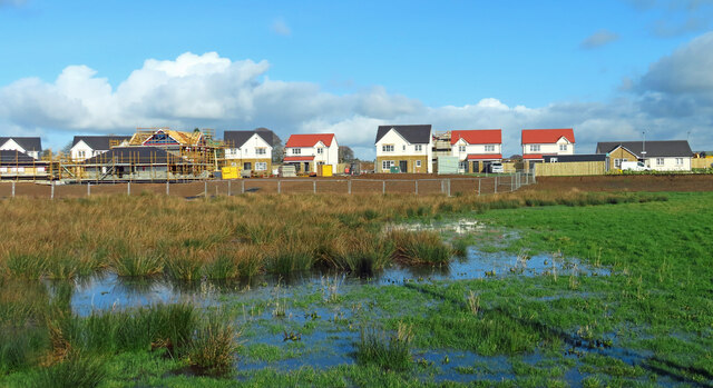
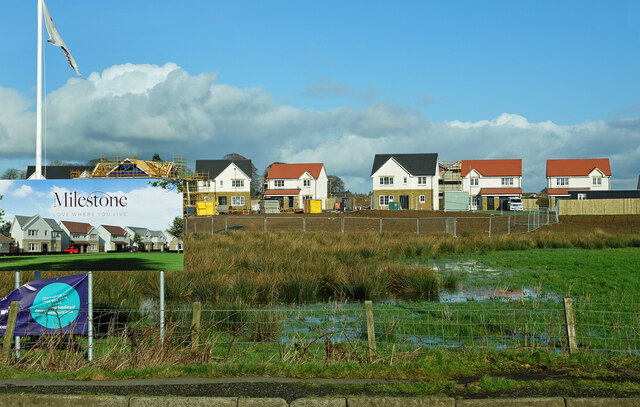
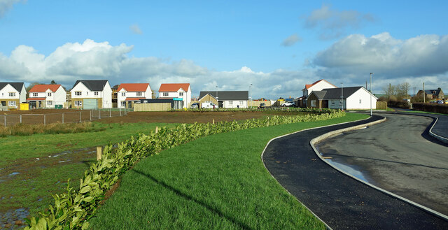
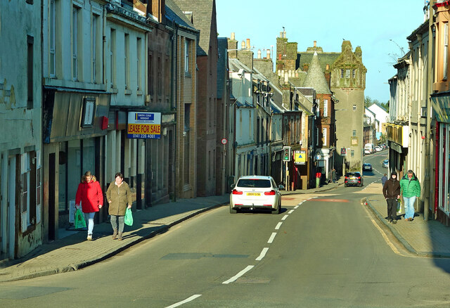
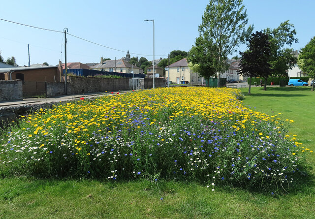
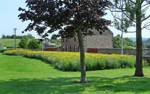
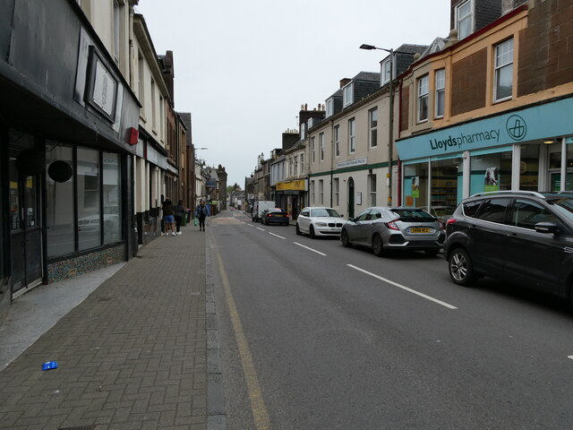
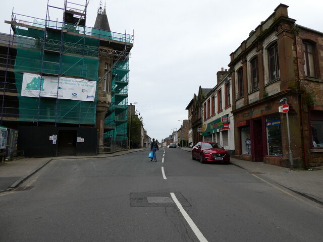
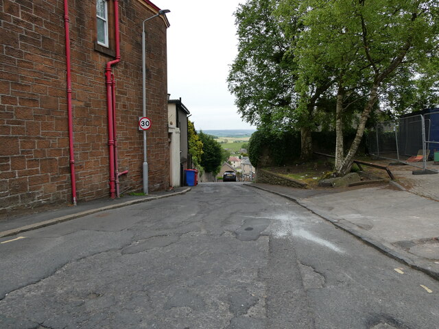
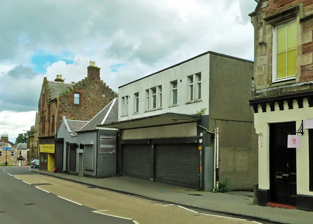
Maybole's town center is characterized by its traditional sandstone buildings, reflecting its historical significance. The High Street is lined with a variety of shops, cafes, and local businesses, providing a charming and bustling atmosphere. The town also boasts several parks and green spaces, including the historical Memorial Park, which is a popular spot for recreational activities and leisurely walks.
In terms of amenities, Maybole offers a range of services to its residents, including primary and secondary schools, medical facilities, and a library. The town also benefits from good transport links, with regular bus services connecting it to neighboring towns and cities.
Overall, Maybole is a picturesque town that showcases the beauty of Ayrshire's countryside and its rich heritage. With its historic castle, quaint town center, and welcoming community, Maybole offers both residents and visitors a unique and enjoyable experience.
If you have any feedback on the listing, please let us know in the comments section below.
Maybole Images
Images are sourced within 2km of 55.354584/-4.681131 or Grid Reference NS3009. Thanks to Geograph Open Source API. All images are credited.


Maybole is located at Grid Ref: NS3009 (Lat: 55.354584, Lng: -4.681131)
Unitary Authority: South Ayrshire
Police Authority: Ayrshire
What 3 Words
///fruits.line.villager. Near Maybole, South Ayrshire
Nearby Locations
Related Wikis

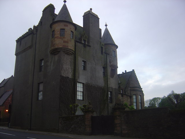
Maybole Castle
Maybole Castle is a 16th-century castle located on High Street in Maybole, South Ayrshire, Scotland. Originally built for the Earls of Cassillis, it is...

Maybole
Maybole is a town and former burgh of barony and police burgh in South Ayrshire, Scotland. It had an estimated population of 4,580 in 2020. It is situated...

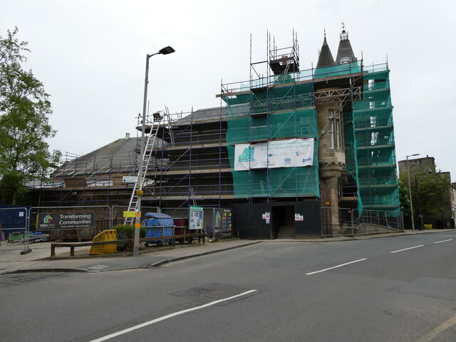
Maybole Town Hall
Maybole Town Hall is a municipal structure in the High Street in Maybole, South Ayrshire, Scotland. The structure, which is used as a community events...

St Oswald's Church, Maybole
St Oswald's Church is a congregation of the Scottish Episcopal Church located in Maybole, Ayrshire, Scotland. The current Priest-in-Charge is The Rev....

Maybole Baptist Church
Maybole Baptist Church is a Baptist church in Maybole, South Ayrshire, Scotland. It arose from a Maybole prayer group started in 1898 that was admitted...

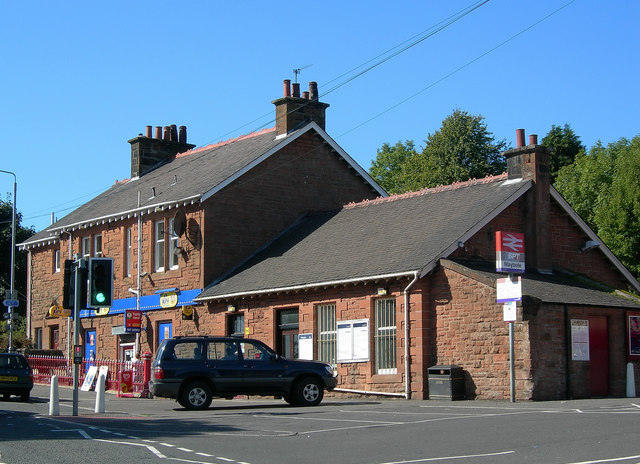
Maybole railway station
Maybole railway station is a railway station serving the town of Maybole, South Ayrshire, Scotland. The station is owned by Network Rail and managed by...
Maybole (old) railway station
Maybole railway station was a railway station serving the village of Maybole, South Ayrshire, Scotland. The station was originally part of the Ayr and...

Carrick Academy
Carrick Academy (Scottish Gaelic: Acadamaidh Charraig) is a state-run secondary school, administered by South Ayrshire Council and situated in the Maybole...
Nearby Amenities
Located within 500m of 55.354584,-4.681131Have you been to Maybole?
Leave your review of Maybole below (or comments, questions and feedback).