Strutherhill
Settlement in Lanarkshire
Scotland
Strutherhill
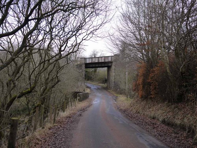
Strutherhill is a small village located in the county of Lanarkshire, Scotland. Situated approximately 2 miles southeast of the bustling town of Larkhall, Strutherhill is known for its rural charm and picturesque landscapes. The village is nestled amidst rolling hills and lush greenery, offering residents and visitors a tranquil setting away from the hustle and bustle of city life.
With a population of around 1,500 people, the village maintains a close-knit community atmosphere. The residents of Strutherhill are friendly and welcoming, creating a warm and inviting environment for all who visit. The village primarily consists of residential properties, with a mix of traditional and modern houses, providing a range of housing options to suit different preferences and needs.
Despite its small size, Strutherhill offers a range of amenities to cater to the needs of its residents. These include a local convenience store, a post office, and a primary school, ensuring that daily essentials are easily accessible within the village. For further amenities and services, the nearby town of Larkhall provides a wider range of options, including supermarkets, healthcare facilities, and recreational activities.
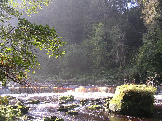
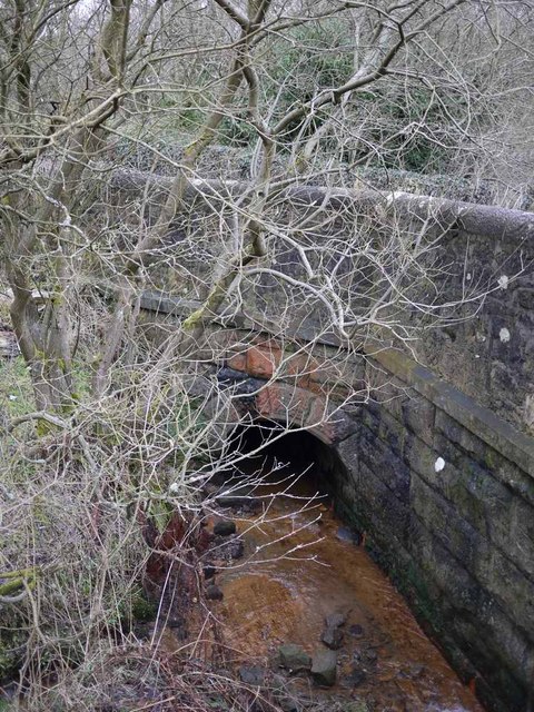
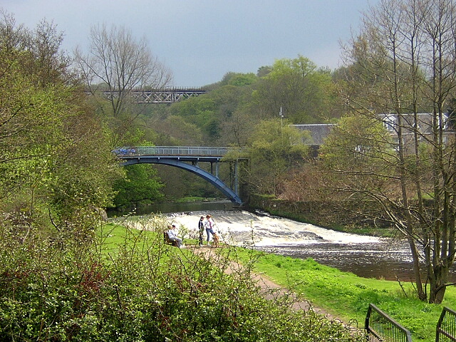
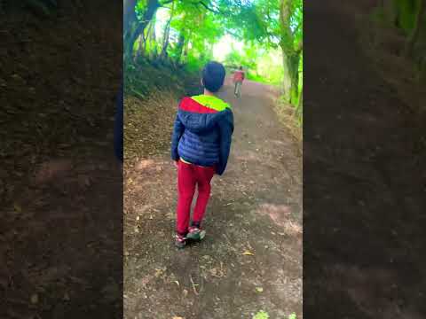
Nature enthusiasts will find plenty to explore in and around Strutherhill, with various walking and cycling trails available in the surrounding countryside. The village is also conveniently located near the Clyde Valley, known for its beautiful gardens and scenic walks along the River Clyde.
Overall, Strutherhill is a charming village that offers a peaceful and idyllic lifestyle, perfect for those seeking a quiet retreat in the heart of Lanarkshire.
If you have any feedback on the listing, please let us know in the comments section below.
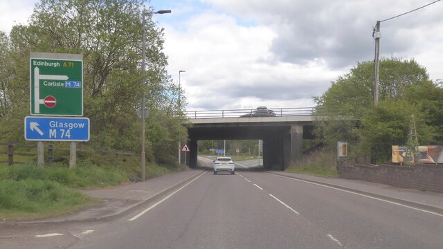
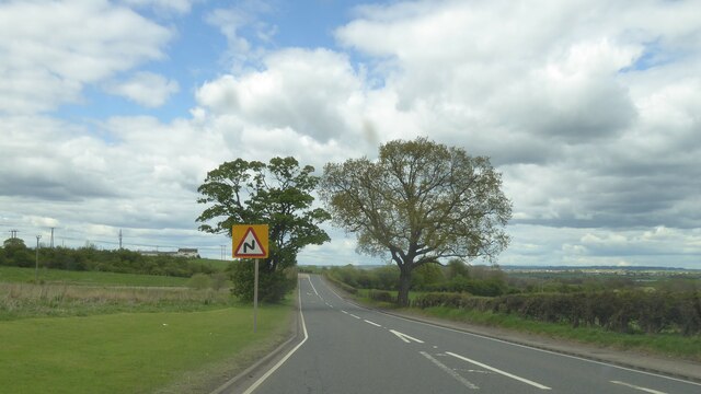
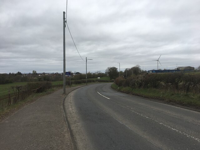
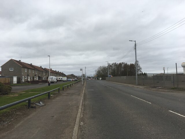
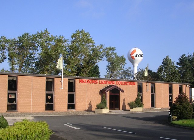
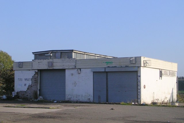
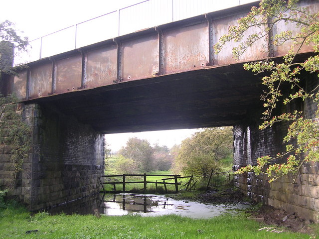
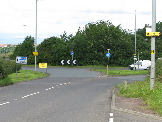
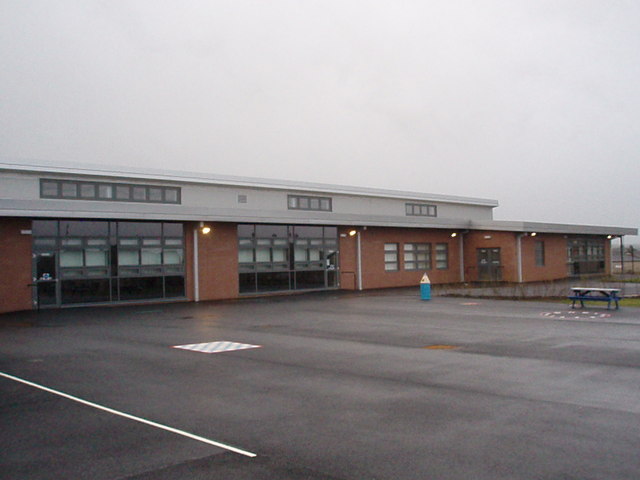
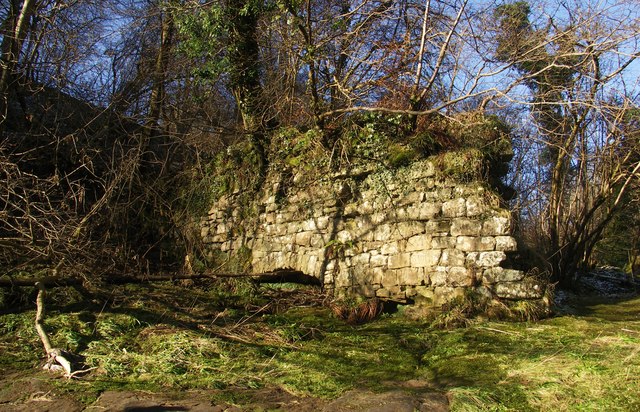
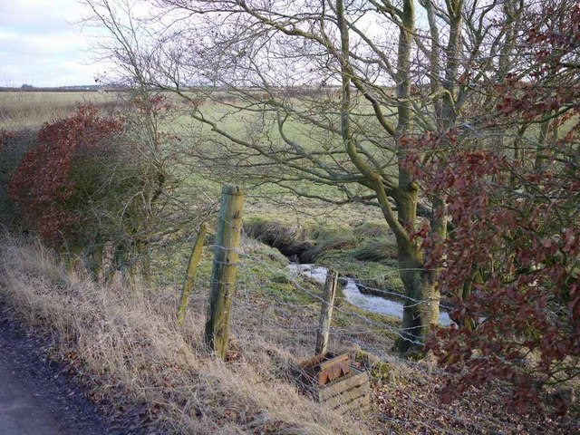
Strutherhill Images
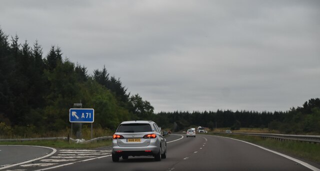
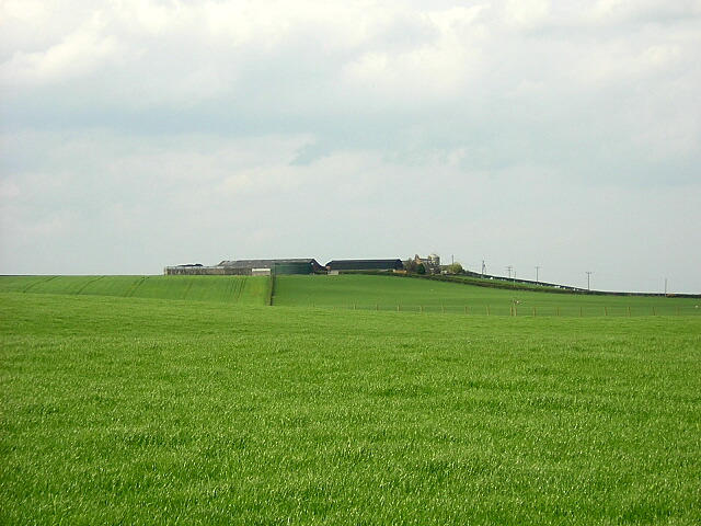
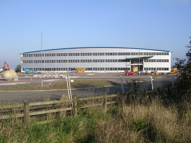
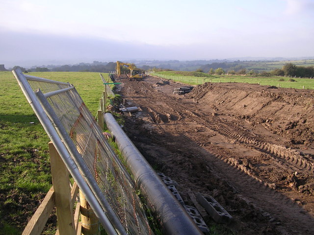
Images are sourced within 2km of 55.727768/-3.969152 or Grid Reference NS7650. Thanks to Geograph Open Source API. All images are credited.
Strutherhill is located at Grid Ref: NS7650 (Lat: 55.727768, Lng: -3.969152)
Unitary Authority: South Lanarkshire
Police Authority: Lanarkshire
What 3 Words
///haunt.entitles.really. Near Larkhall, South Lanarkshire
Nearby Locations
Related Wikis

Larkhall Academy
Larkhall Academy is a non-denominational coeducational secondary school in Larkhall, South Lanarkshire, Scotland. The current head teacher is Andy Smith...
Larkhall
Larkhall (Scots: Larkhauch, Scottish Gaelic: Taigh na h-Uiseig) is a town in South Lanarkshire, Scotland, around 14 miles (23 km) southeast of Glasgow...
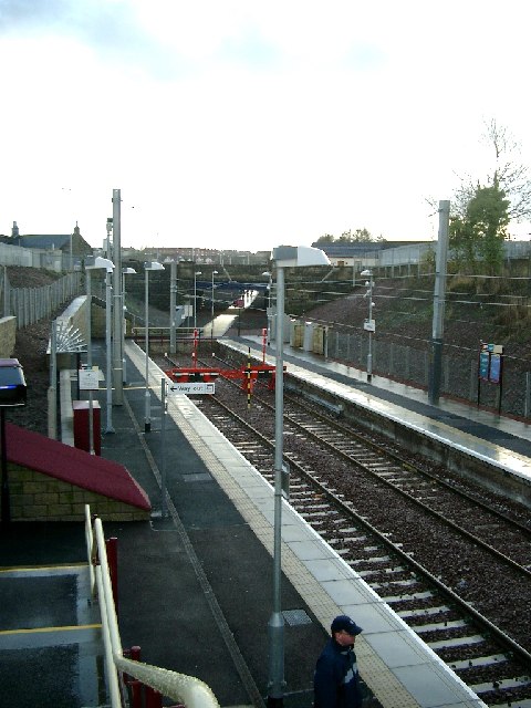
Larkhall railway station
Larkhall railway station serves the town of Larkhall, South Lanarkshire, Scotland. The station is the south-eastern terminus of the Argyle Line, 16+1⁄4...
Larkhall Thistle F.C.
Larkhall Thistle Football Club is a football club from Larkhall, in South Lanarkshire, Scotland. Formed in 1878, "the Jags" are Scotland's oldest continuous...
Related Videos

Frank Morrison, Derek Hamilton, Jim Carson & Alex Graham - Swedish Walking Tune
Filmed at Canderside Accordion Club December 2019 Lead Accordion - Frank Morrison Second Accordion - Derek Hamilton ...

Nearby Amenities
Located within 500m of 55.727768,-3.969152Have you been to Strutherhill?
Leave your review of Strutherhill below (or comments, questions and feedback).