Machan
Settlement in Lanarkshire
Scotland
Machan
Machan is a small village located in the county of Lanarkshire, Scotland. Situated approximately 20 miles southeast of Glasgow, it lies on the banks of the River Clyde and is part of the South Lanarkshire council area. With a population of around 1,500 residents, Machan is a tight-knit community known for its scenic beauty and historical significance.
The village boasts a rich heritage, with evidence of human settlement dating back to prehistoric times. Machan was an important agricultural center during the medieval period, and remnants of ancient farmsteads can still be found in the surrounding countryside. The area is also home to several historic landmarks, including Machan Castle, a 16th-century tower house, and the ruins of Machan Parish Church, which dates back to the 12th century.
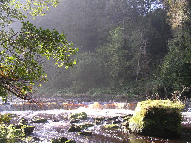
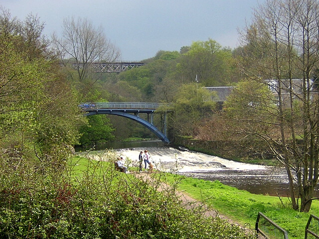
The natural surroundings of Machan are a major attraction for both residents and visitors. The village is surrounded by rolling hills and lush green fields, making it an ideal destination for outdoor activities such as hiking, cycling, and fishing. The nearby Clyde Valley is renowned for its picturesque landscapes and is a popular spot for nature enthusiasts.
Despite its small size, Machan offers a range of amenities and facilities to its residents. These include a primary school, a community center, a local pub, and a few small shops. The village also has good transport links, with regular bus services connecting it to nearby towns and cities.
Overall, Machan is a charming village with a rich history and stunning natural surroundings. It offers a peaceful and idyllic lifestyle for its residents, while also attracting visitors with its beauty and historical significance.
If you have any feedback on the listing, please let us know in the comments section below.
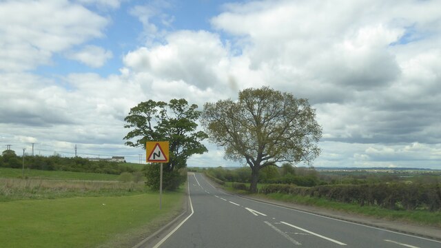
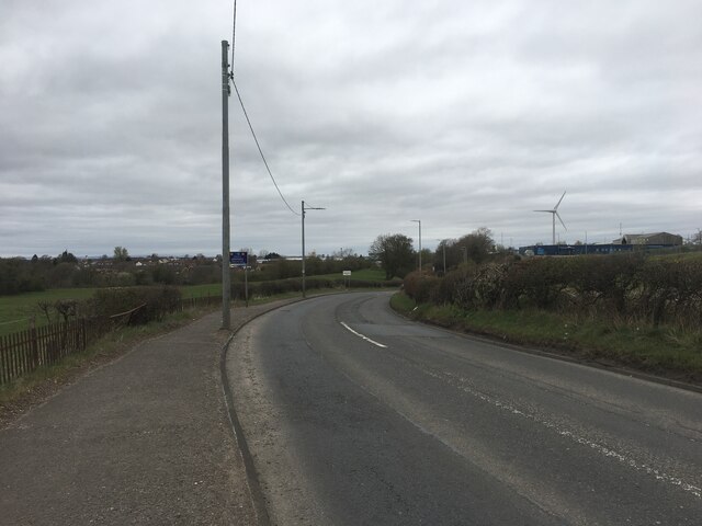
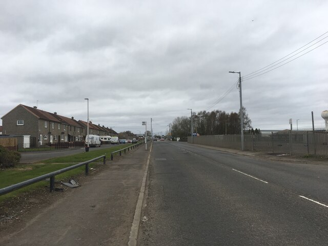
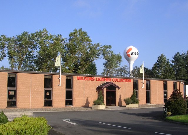
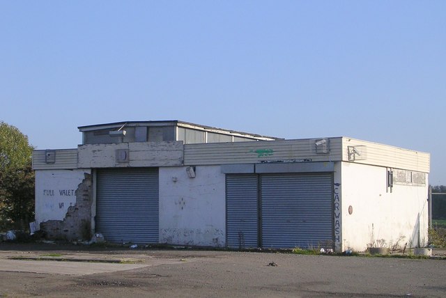
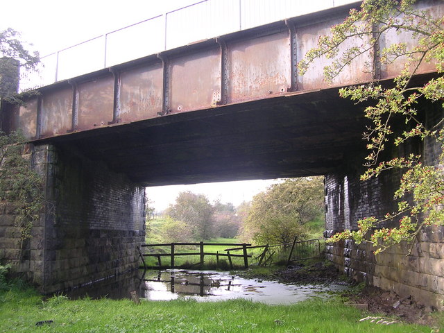
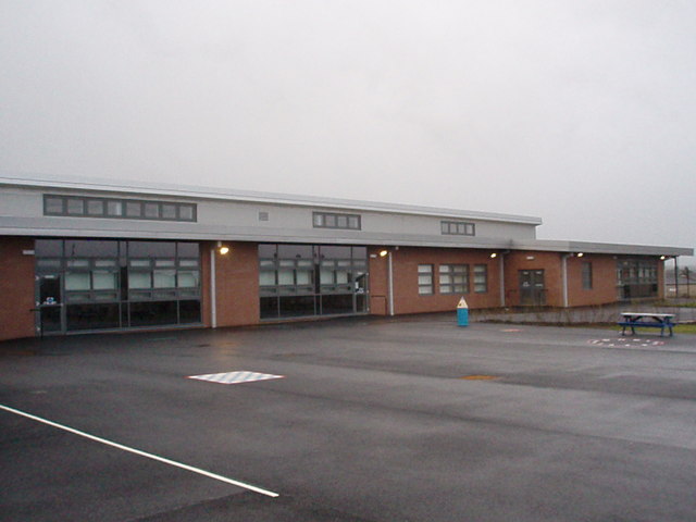
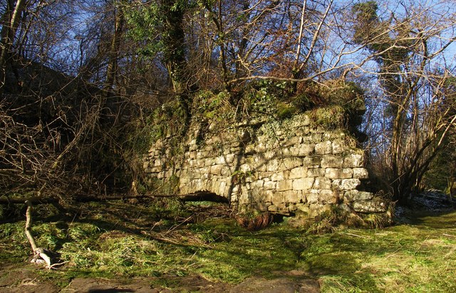
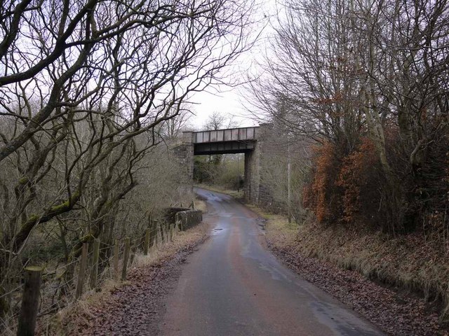
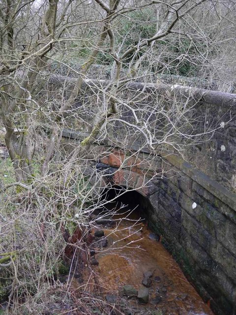
Machan Images
Images are sourced within 2km of 55.73327/-3.968872 or Grid Reference NS7650. Thanks to Geograph Open Source API. All images are credited.


Machan is located at Grid Ref: NS7650 (Lat: 55.73327, Lng: -3.968872)
Unitary Authority: South Lanarkshire
Police Authority: Lanarkshire
What 3 Words
///lashed.sprinkle.nags. Near Larkhall, South Lanarkshire
Nearby Locations
Related Wikis

Larkhall Academy
Larkhall Academy is a non-denominational coeducational secondary school in Larkhall, South Lanarkshire, Scotland. The current head teacher is Andy Smith...
Larkhall
Larkhall (Scots: Larkhauch, Scottish Gaelic: Taigh na h-Uiseig) is a town in South Lanarkshire, Scotland, around 14 miles (23 km) southeast of Glasgow...
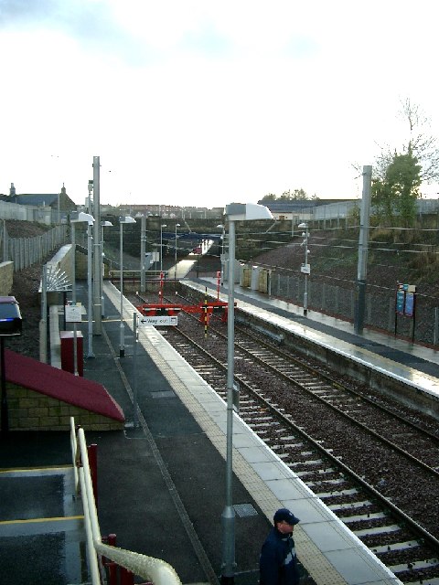
Larkhall railway station
Larkhall railway station serves the town of Larkhall, South Lanarkshire, Scotland. The station is the south-eastern terminus of the Argyle Line, 16+1⁄4...
Larkhall Thistle F.C.
Larkhall Thistle Football Club is a football club from Larkhall, in South Lanarkshire, Scotland. Formed in 1878, "the Jags" are Scotland's oldest continuous...
Related Videos

Frank Morrison, Derek Hamilton, Jim Carson & Alex Graham - Swedish Walking Tune
Filmed at Canderside Accordion Club December 2019 Lead Accordion - Frank Morrison Second Accordion - Derek Hamilton ...


Nearby Amenities
Located within 500m of 55.73327,-3.968872Have you been to Machan?
Leave your review of Machan below (or comments, questions and feedback).