Strubby

Settlement in Lincolnshire East Lindsey

England

Strubby

Cut Mark: Langton by Wragby, Rising Sun Farm Cut bench mark on the frontage of the farm building, facing the A158.  See <a title="https://www.geograph.org.uk/photo/6972663" href="https://www.geograph.org.uk/photo/6972663">Link</a> for a wider view and <span class="nowrap"><a title="https://www.bench-marks.org.uk/bm23078" rel="nofollow ugc noopener" href="https://www.bench-marks.org.uk/bm23078">Link</a><img style="margin-left:2px;" alt="External link" title="External link - shift click to open in new window" src="https://s1.geograph.org.uk/img/external.png" width="10" height="10"/></span> for details of the mark.
Cut Mark: Langton by Wragby, Rising Sun Farm Credit: Brian Westlake

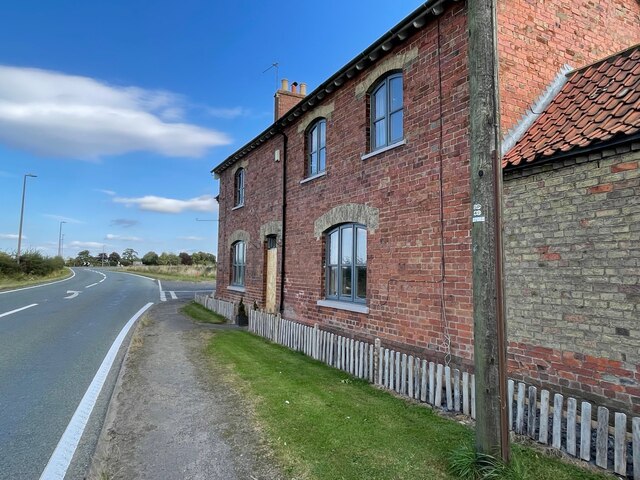
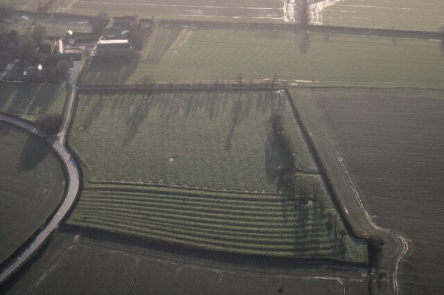
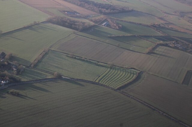
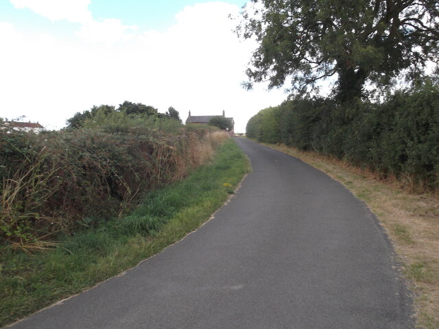
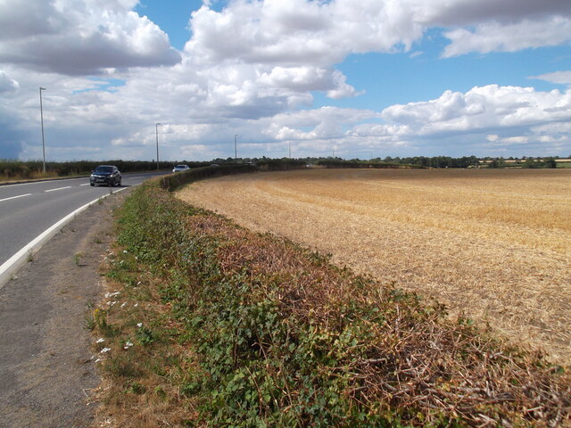
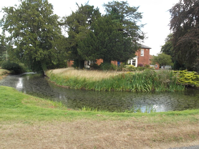
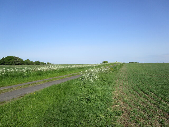
Strubby is a small village located in the East Lindsey district of Lincolnshire, England. Situated about 5 miles east of Louth, it is a rural community with a population of around 200 inhabitants. The village is nestled amidst picturesque countryside, surrounded by fields and farmland, offering a tranquil and peaceful environment.

One of the notable features of Strubby is the All Saints Church, a Grade II listed building dating back to the 12th century. The church's architecture is a fine example of medieval craftsmanship, with its stunning stained glass windows and intricate stone carvings. It serves as both a place of worship and a historical attraction for visitors.

The village itself is largely residential, consisting of a mix of traditional cottages and more modern houses. It has limited amenities, with a small village hall, but lacks a shop or pub. However, the nearby town of Louth provides access to a wider range of facilities and services.

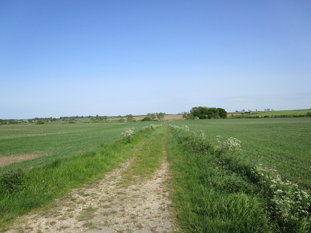
Strubby is surrounded by natural beauty, making it an ideal location for outdoor enthusiasts. The rolling hills and vast expanses of green fields make it perfect for walking, cycling, and enjoying the countryside. The area is also known for its birdlife, attracting birdwatchers who come to observe a variety of species.

Overall, Strubby is a charming and idyllic village, offering a quiet and rural lifestyle. Its historic church, beautiful surroundings, and proximity to the town of Louth make it an appealing place for those seeking a peaceful retreat in the heart of Lincolnshire.

If you have any feedback on the listing, please let us know in the comments section below.
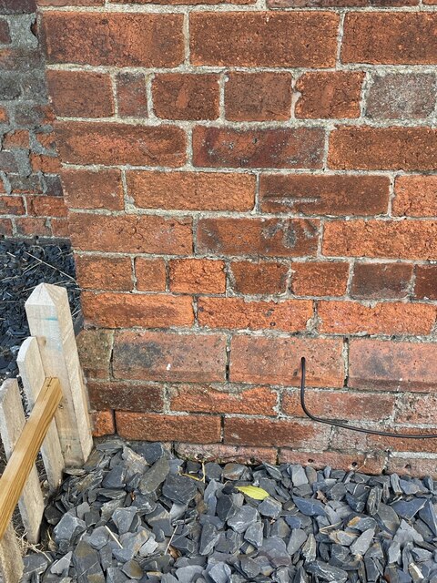
Strubby Images

Images are sourced within 2km of 53.282872/-0.26595734 or Grid Reference TF1577. Thanks to Geograph Open Source API. All images are credited.

Cut Mark: Langton by Wragby, Rising Sun Farm Cut bench mark on the frontage of the farm building, facing the A158.  See <a title="https://www.geograph.org.uk/photo/6972663" href="https://www.geograph.org.uk/photo/6972663">Link</a> for a wider view and <span class="nowrap"><a title="https://www.bench-marks.org.uk/bm23078" rel="nofollow ugc noopener" href="https://www.bench-marks.org.uk/bm23078">Link</a><img style="margin-left:2px;" alt="External link" title="External link - shift click to open in new window" src="https://s1.geograph.org.uk/img/external.png" width="10" height="10"/></span> for details of the mark.
Cut Mark: Langton by Wragby, Rising Sun Farm
Cut bench mark on the frontage of the farm building, facing the A158. See Link for a wider view and LinkExternal link for details of the mark.
Langton by Wragby, Rising Sun Farm There is a cut bench mark on the frontage of the farm building at the far end, facing the A158.  See <a title="https://www.geograph.org.uk/photo/6972661" href="https://www.geograph.org.uk/photo/6972661">Link</a> for a close-up view and <span class="nowrap"><a title="https://www.bench-marks.org.uk/bm23078" rel="nofollow ugc noopener" href="https://www.bench-marks.org.uk/bm23078">Link</a><img style="margin-left:2px;" alt="External link" title="External link - shift click to open in new window" src="https://s1.geograph.org.uk/img/external.png" width="10" height="10"/></span> for details of the mark.
Langton by Wragby, Rising Sun Farm
There is a cut bench mark on the frontage of the farm building at the far end, facing the A158. See Link for a close-up view and LinkExternal link for details of the mark.
Extinct hamlet of Strubby, Langton by Wragby, Lincs: aerial 2022 The lost village of Strubby is now represented by Strubby Hall. There is mention in 1316 of Langeton and Strubby.

See <span class="nowrap"><a title="https://www.heritagegateway.org.uk/Gateway/Results_Single.aspx?uid=MLI40348&resourceID=1006" rel="nofollow ugc noopener" href="https://www.heritagegateway.org.uk/Gateway/Results_Single.aspx?uid=MLI40348&resourceID=1006">Link</a><img style="margin-left:2px;" alt="External link" title="External link - shift click to open in new window" src="https://s1.geograph.org.uk/img/external.png" width="10" height="10"/></span>

Not to be confused with Strubby near Withern, Lincs.
Extinct hamlet of Strubby, Langton by Wragby, Lincs: aerial 2022
The lost village of Strubby is now represented by Strubby Hall. There is mention in 1316 of Langeton and Strubby. See LinkExternal link Not to be confused with Strubby near Withern, Lincs.
Ridge and furrow, Langton by Wragby: aerial 2022 (2) See <span class="nowrap"><a title="https://www.heritagegateway.org.uk/Gateway/Results_Single.aspx?uid=MLI88904&resourceID=1006" rel="nofollow ugc noopener" href="https://www.heritagegateway.org.uk/Gateway/Results_Single.aspx?uid=MLI88904&resourceID=1006">Link</a><img style="margin-left:2px;" alt="External link" title="External link - shift click to open in new window" src="https://s1.geograph.org.uk/img/external.png" width="10" height="10"/></span>
Ridge and furrow, Langton by Wragby: aerial 2022 (2)
See LinkExternal link
Ridge and furrow, Langton by Wragby: aerial 2022 (1) See <span class="nowrap"><a title="https://www.heritagegateway.org.uk/Gateway/Results_Single.aspx?uid=MLI88904&resourceID=1006" rel="nofollow ugc noopener" href="https://www.heritagegateway.org.uk/Gateway/Results_Single.aspx?uid=MLI88904&resourceID=1006">Link</a><img style="margin-left:2px;" alt="External link" title="External link - shift click to open in new window" src="https://s1.geograph.org.uk/img/external.png" width="10" height="10"/></span>
Ridge and furrow, Langton by Wragby: aerial 2022 (1)
See LinkExternal link
Road by Coultas Wood
Field path near Langton by Wragby
Minor road towards the Rising Sun Farm
The busy A158
The busy A158
The Moat, Langton by Wragby Every home should have one
The Moat, Langton by Wragby
Every home should have one
Grass field near Strubby
Bridleway to Langton Hill Farm
Wire Hill Lane near Wragby
Farm track at Wire Hill
Wheat field by Walk Lane
Field edge with cow parlsey off Walk Lane
Stubble field off Walk Lane Walk Lane behind the hedge on the right.
Stubble field off Walk Lane
Walk Lane behind the hedge on the right.
Stubble field off Walk Lane Walk Lane is behind the hedge on the right.
Stubble field off Walk Lane
Walk Lane is behind the hedge on the right.
Show me another place!

Strubby is located at Grid Ref: TF1577 (Lat: 53.282872, Lng: -0.26595734)

Division: Parts of Lindsey

Administrative County: Lincolnshire

District: East Lindsey

Police Authority: Lincolnshire

What 3 Words

///riverbank.nerves.texted. Near Wragby, Lincolnshire

Nearby Locations

Strubby

Related Wikis

Langton by Wragby

Langton by Wragby is a small village and civil parish in the East Lindsey district of Lincolnshire, England. It lies approximately 1 mile (1.6 km) south...

Wragby railway station

Wragby railway station was a railway station that served the town of Wragby, Lincolnshire, England between 1874 and 1960, on the Louth to Bardney line...

Panton, Lincolnshire

Panton is a village in the civil parish of East Barkwith, in the East Lindsey of district, Lincolnshire, England. It is situated approximately 13 miles...

Hatton, Lincolnshire

Hatton is a small village and civil parish in the East Lindsey district of Lincolnshire, England. It is situated 3 miles (5 km) east of the town of Wragby...

Related Videos

WRAGBY: East Lindsey Parish #7 of 188

EAST LINDSEY PARISH #7: WRAGBY Welcome to a brand new area of East Lindsey – we've moved away from Grimsby now ...

wragby shops and streets

Shops and streets in the town of Wragby, a small town in the East Lindsey district of Lincolnshire, England, UK.

How to Swim Front crawl 30 seconds Faster!!!

Adam Ocean Walker record breaking swimmer and creator of the Ocean Walker Technique shares his top tips on how to swim 30 ...

Nearby Amenities

Located within 500m of 53.282872,-0.26595734
Power: pole
Lat/Long: 53.2792944/-0.2699389
Power: pole
Lat/Long: 53.2799776/-0.2693606
Power: pole
Lat/Long: 53.28061/-0.2687967
Power: pole
Lat/Long: 53.2813264/-0.2681692
Power: pole
Lat/Long: 53.2814783/-0.2648913
Power: pole
Lat/Long: 53.2817634/-0.2662141
Power: pole
Lat/Long: 53.282068/-0.267549
Power: pole
Lat/Long: 53.2827375/-0.2669237
Power: pole
Lat/Long: 53.2834317/-0.2663123
Power: pole
Lat/Long: 53.2841536/-0.2656859
Power: pole
Lat/Long: 53.2848419/-0.2650573
Power: pole
Lat/Long: 53.2853691/-0.2639627
Power: pole
Lat/Long: 53.2859144/-0.2628493
Power: pole
Lat/Long: 53.2864417/-0.2617409
Power: pole
Lat/Long: 53.2811886/-0.263536
Power: pole
Lat/Long: 53.2817699/-0.27234
Power: pole
Lat/Long: 53.2820869/-0.2707111
Power: pole
Lat/Long: 53.2823992/-0.269148
Strubby Hall Farm
Place: farm
Source: Bing
Lat/Long: 53.279538/-0.2616318
Strubby
Place: hamlet
Source: Bing
Lat/Long: 53.2796299/-0.2614816
Walk Farm
Place: farm
Source: Bing
Lat/Long: 53.284219/-0.2723894
Lea-Holme
Place: isolated_dwelling
Source: Bing
Lat/Long: 53.2797255/-0.2706369
The data included in this document is from www.openstreetmap.org. The data is made available under ODbL.

Have you been to Strubby?

Leave your review of Strubby below (or comments, questions and feedback).