South End

Settlement in Bedfordshire

England

South End

B5704 London Road towards Woburn
B5704 London Road towards Woburn Credit: Robin Webster

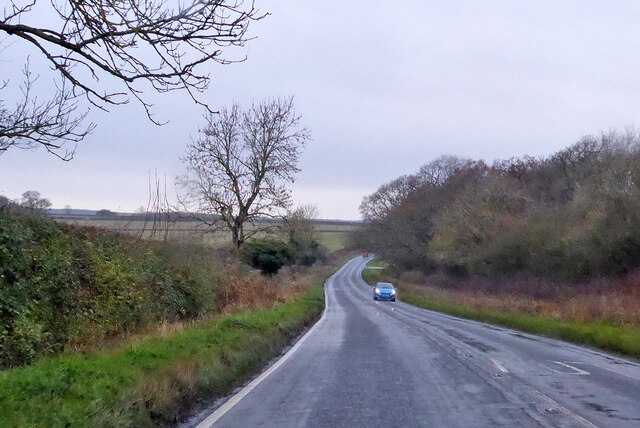
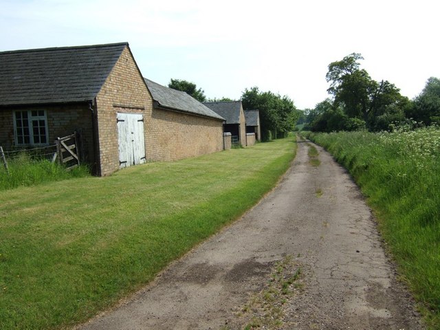
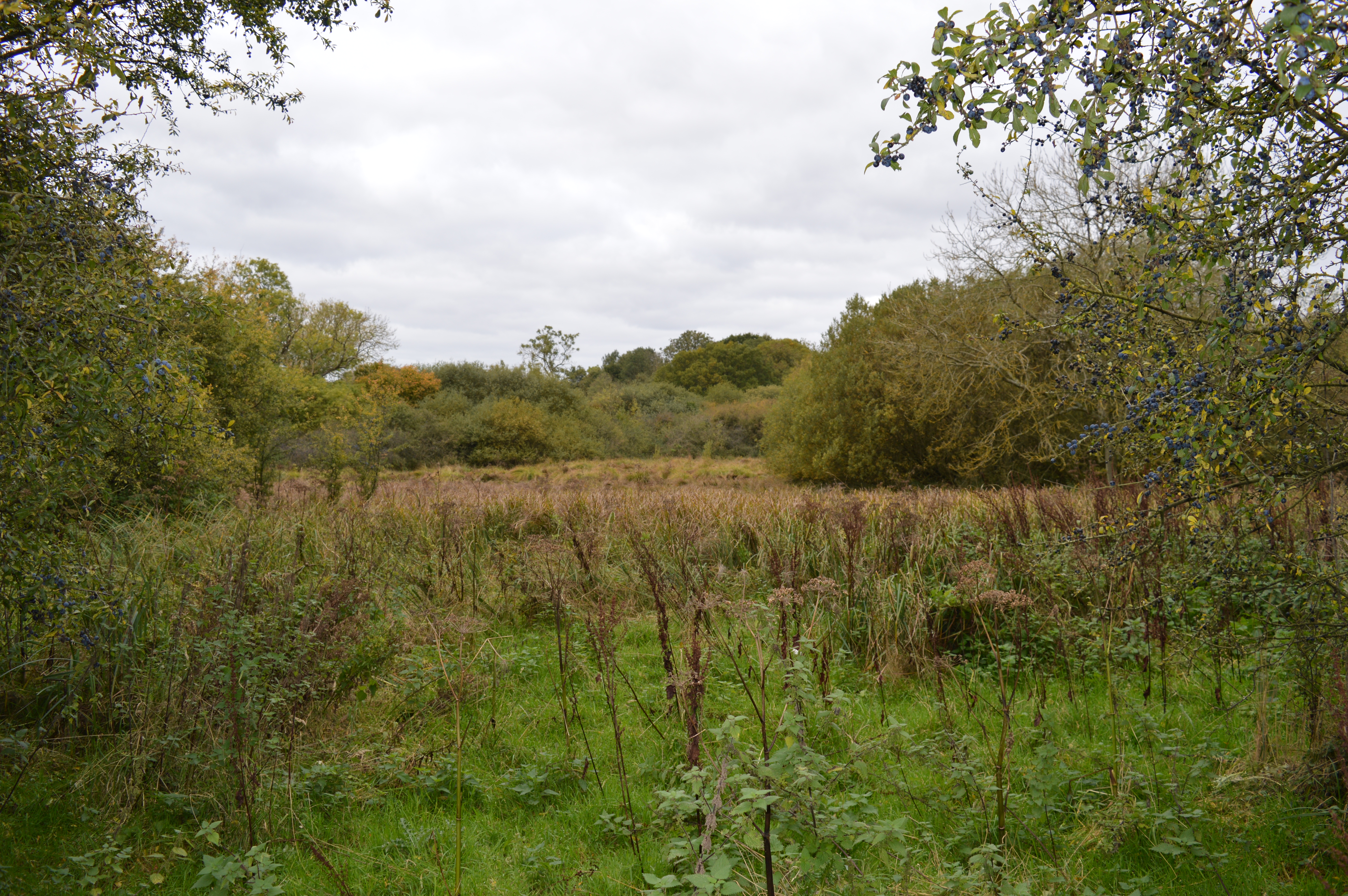
South End is a small village located in the county of Bedfordshire, England. Situated in the southern part of the county, it is part of the Central Bedfordshire district. The village is surrounded by picturesque countryside, with rolling hills and farmland, creating a tranquil and rural setting.

Despite its small size, South End has a close-knit and friendly community. The village is primarily residential, with a mix of traditional cottages and modern houses. The population of the village is relatively small, creating a tight community where residents often know each other.

South End benefits from its proximity to the larger towns of Luton and Dunstable, which provide a range of amenities such as shopping centers, leisure facilities, and entertainment options. The village itself, however, retains a peaceful atmosphere, offering a refuge from the hustle and bustle of urban life.

Nature enthusiasts will find much to enjoy in South End and its surroundings. The village is surrounded by beautiful countryside, offering opportunities for walking, cycling, and exploring the local flora and fauna. The nearby Chiltern Hills provide stunning views and are a popular destination for outdoor activities.

Overall, South End in Bedfordshire is a charming and idyllic village. Its rural location, friendly community, and access to nearby towns make it an attractive place to live for those seeking a peaceful and picturesque setting.

If you have any feedback on the listing, please let us know in the comments section below.

South End Images

Images are sourced within 2km of 51.961409/-0.583826 or Grid Reference SP9730. Thanks to Geograph Open Source API. All images are credited.

B5704 London Road towards Woburn
Farmland, Milton Bryan A footpath through wheat to the north-east of the village.
Farmland, Milton Bryan
A footpath through wheat to the north-east of the village.
Farmland, Toddington Oats to the north-west of Happy Land Farm.
Farmland, Toddington
Oats to the north-west of Happy Land Farm.
Farmland, Potsgrove A bridleway through oats climbs towards the B5704.
Farmland, Potsgrove
A bridleway through oats climbs towards the B5704.
Milton Wood This view of Milton Wood was taken from the Eastern edge of Fourteen Acre Spinney on the road from Eversholt to Milton Bryan.
Milton Wood
This view of Milton Wood was taken from the Eastern edge of Fourteen Acre Spinney on the road from Eversholt to Milton Bryan.
St. Peter, Milton Bryan Rather an unusual church this one. It is almost square with parts of wildly different ages and construction style - and it has a tower made of such closely keened pale stone that it looks like concrete. It is set in a garden-like churchyard. Definitely a one-off. I originally accidentally added a T to Bryan making it Bryant - curiously I now discover that that is an alternative disused name for the village. More info here - <span class="nowrap"><a title="http://www.bedfordshire.gov.uk/communityandliving/archivesandrecordoffice/communityarchives/miltonbryan/miltonbryanchurch.aspx" rel="nofollow ugc noopener" href="http://www.bedfordshire.gov.uk/communityandliving/archivesandrecordoffice/communityarchives/miltonbryan/miltonbryanchurch.aspx">Link</a><img style="margin-left:2px;" alt="External link" title="External link - shift click to open in new window" src="https://s1.geograph.org.uk/img/external.png" width="10" height="10"/></span> and <span class="nowrap"><a title="http://www.british-history.ac.uk/report.asp?compid=42456" rel="nofollow ugc noopener" href="http://www.british-history.ac.uk/report.asp?compid=42456">Link</a><img style="margin-left:2px;" alt="External link" title="External link - shift click to open in new window" src="https://s1.geograph.org.uk/img/external.png" width="10" height="10"/></span>
St. Peter, Milton Bryan
Rather an unusual church this one. It is almost square with parts of wildly different ages and construction style - and it has a tower made of such closely keened pale stone that it looks like concrete. It is set in a garden-like churchyard. Definitely a one-off. I originally accidentally added a T to Bryan making it Bryant - curiously I now discover that that is an alternative disused name for the village. More info here - LinkExternal link and LinkExternal link
St. Peter's church, Milton Bryan - Western end A close up of the Western end of St. Peter's church, Milton Bryan showing some of the mix of architectural styles and periods. This is a very odd-looking church. More info. here <span class="nowrap"><a title="http://www.british-history.ac.uk/report.asp?compid=42456#s3" rel="nofollow ugc noopener" href="http://www.british-history.ac.uk/report.asp?compid=42456#s3">Link</a><img style="margin-left:2px;" alt="External link" title="External link - shift click to open in new window" src="https://s1.geograph.org.uk/img/external.png" width="10" height="10"/></span>
St. Peter's church, Milton Bryan - Western end
A close up of the Western end of St. Peter's church, Milton Bryan showing some of the mix of architectural styles and periods. This is a very odd-looking church. More info. here LinkExternal link
Ford Spinney Taken from the A4012 near Battlesden
Ford Spinney
Taken from the A4012 near Battlesden
Hill Farm Sheep These sheep belong to Hill Farm which can be seen in the background. The lane abruptly ends just after this point with a private road continuing to the farm and a track leading to Battlesden.
Hill Farm Sheep
These sheep belong to Hill Farm which can be seen in the background. The lane abruptly ends just after this point with a private road continuing to the farm and a track leading to Battlesden.
St. Peter, Milton Bryan - The Tower Taken from near the gateway into this unusual church's churchyard.
St. Peter, Milton Bryan - The Tower
Taken from near the gateway into this unusual church's churchyard.
Fields near Battlesden Looking across fields to the church and manor at Battlesden (which are in the adjacent square, see <a href="https://www.geograph.org.uk/photo/183068">SP9529 : St Peter and All Saints, Battlesden</a>). I think the crop is wheat, but as it has not yet produced its ears I'm by no means certain.
Fields near Battlesden
Looking across fields to the church and manor at Battlesden (which are in the adjacent square, see SP9529 : St Peter and All Saints, Battlesden). I think the crop is wheat, but as it has not yet produced its ears I'm by no means certain.
Lane to Battlesden This is the lane to Battlesden having left the main A4012 and travelled a few hundred yards. There is a footpath off to the right (North) at this point which leads towards Milton Bryan.
Lane to Battlesden
This is the lane to Battlesden having left the main A4012 and travelled a few hundred yards. There is a footpath off to the right (North) at this point which leads towards Milton Bryan.
Approaching Battlesden Church This lane runs up to the church at Battlesden (see <a href="https://www.geograph.org.uk/photo/183068">SP9529 : St Peter and All Saints, Battlesden</a>) then comes to an abrupt halt as a road but continues as a footpath past the church and Battlesden House. The precariously leaning tree on the right looks like a Scots Pine to me. The manor here was once owned by the remarkably-named Sir Gregory Page-Turner who should have been a novelist really !
Approaching Battlesden Church
This lane runs up to the church at Battlesden (see SP9529 : St Peter and All Saints, Battlesden) then comes to an abrupt halt as a road but continues as a footpath past the church and Battlesden House. The precariously leaning tree on the right looks like a Scots Pine to me. The manor here was once owned by the remarkably-named Sir Gregory Page-Turner who should have been a novelist really !
Centre Farm, Battlesden These buildings belong to Centre Farm in Battlesden. The track continues to Hill Farm (see <a href="https://www.geograph.org.uk/photo/171948">SP9728 : Hill Farm Sheep</a>) and according to my old 1:50000 is marked as a yellow (drivable) lane - but having seen the other end of it I think it would be a little cruel to an ordinary saloon car !
Centre Farm, Battlesden
These buildings belong to Centre Farm in Battlesden. The track continues to Hill Farm (see SP9728 : Hill Farm Sheep) and according to my old 1:50000 is marked as a yellow (drivable) lane - but having seen the other end of it I think it would be a little cruel to an ordinary saloon car !
Battlesden Taken at the hairpin (see map) in Battlesden where the main drivable lane doubles back to get to Battlesden church. In addition to this lane and the track next to <a href="https://www.geograph.org.uk/photo/183064">SP9628 : Centre Farm, Battlesden</a> there is a more direct footpath here to Hill Farm and a bridleway which heads towards Hockliffe. There are very few properties in this parish which is a very quiet little oasis. It has a church which I think means that it is a village, but there are many hamlets bigger than this !
Battlesden
Taken at the hairpin (see map) in Battlesden where the main drivable lane doubles back to get to Battlesden church. In addition to this lane and the track next to SP9628 : Centre Farm, Battlesden there is a more direct footpath here to Hill Farm and a bridleway which heads towards Hockliffe. There are very few properties in this parish which is a very quiet little oasis. It has a church which I think means that it is a village, but there are many hamlets bigger than this !
St Peter and All Saints, Battlesden Tiny Battlesden's rather splendid church. Although not particularly large I would think that this church could hold the entire population of Battlesden five times over ! Read more about Battlesden and its church here <span class="nowrap"><a title="http://www.british-history.ac.uk/report.asp?compid=42445" rel="nofollow ugc noopener" href="http://www.british-history.ac.uk/report.asp?compid=42445">Link</a><img style="margin-left:2px;" alt="External link" title="External link - shift click to open in new window" src="https://s1.geograph.org.uk/img/external.png" width="10" height="10"/></span>
St Peter and All Saints, Battlesden
Tiny Battlesden's rather splendid church. Although not particularly large I would think that this church could hold the entire population of Battlesden five times over ! Read more about Battlesden and its church here LinkExternal link
House and churchyard, Battlesden The western part of the churchyard at Battlesden is very overgrown with tall grass and cow parsley in abundance. I would guess that the house here - one of very few in Battlesden - was the rectory. As most of the properties here were built on the instructions of the Duke of Bedford, I would think that this one certainly was.
House and churchyard, Battlesden
The western part of the churchyard at Battlesden is very overgrown with tall grass and cow parsley in abundance. I would guess that the house here - one of very few in Battlesden - was the rectory. As most of the properties here were built on the instructions of the Duke of Bedford, I would think that this one certainly was.
Milton Lodge Most of the lodgehouses around here are to the enormous Woburn Abbey estate, but this one near Milton Bryan is an exception. This lodge marks the start of Battlesden Avenue which leads (after about a mile) to Battlesden House next to Battlesden Church. There is some information about this manor house here <span class="nowrap"><a title="http://www.british-history.ac.uk/report.asp?compid=42445" rel="nofollow ugc noopener" href="http://www.british-history.ac.uk/report.asp?compid=42445">Link</a><img style="margin-left:2px;" alt="External link" title="External link - shift click to open in new window" src="https://s1.geograph.org.uk/img/external.png" width="10" height="10"/></span>
Milton Lodge
Most of the lodgehouses around here are to the enormous Woburn Abbey estate, but this one near Milton Bryan is an exception. This lodge marks the start of Battlesden Avenue which leads (after about a mile) to Battlesden House next to Battlesden Church. There is some information about this manor house here LinkExternal link
Show me another place!

South End is located at Grid Ref: SP9730 (Lat: 51.961409, Lng: -0.583826)

Unitary Authority: Central Bedfordshire

Police Authority: Bedfordshire

What 3 Words

///bulge.fork.chart. Near Milton Bryan, Bedfordshire

Related Wikis

Milton Bryan

Milton Bryan is a village and civil parish located in Central Bedfordshire (the spelling Milton Bryant was previously common and is still recognised by...

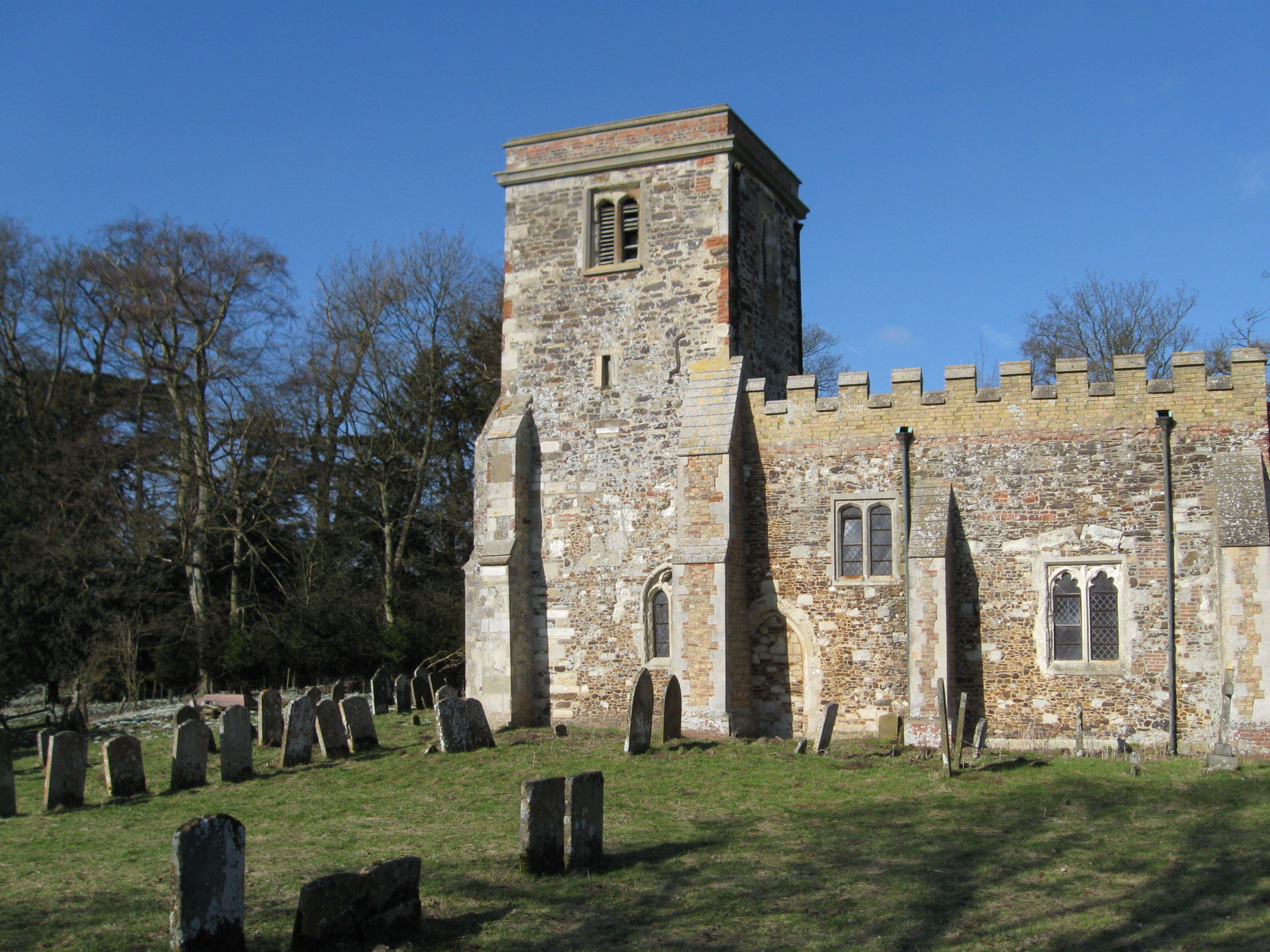
Church of St Peter, Milton Bryan

Church of St Peter is a Grade I listed church in Milton Bryan, Bedfordshire, England. It became a listed building on 23 January 1961. == History == St...

Tebworth Marsh

Tebworth Marsh is a 5.6-hectare biological Site of Special Scientific Interest north of Tebworth in Bedfordshire. It was notified under Section 28 of the...

Battlesden

Battlesden is a hamlet and civil parish in the Central Bedfordshire district of Bedfordshire, England. It is just north of the A5, between Dunstable...

Related Videos

Walking around Woburn Safari Park

In this video you'll see some animals that we saw on a beautiful sunny day when we were walking around Woburn safari Park in ...

VLOG: Walking with the Elephants at Woburn Safari Park

Hiya Come along with us to Woburn Safari Park where we journey into the private woodland of the Woburn estate and walk ...

Our Easter Holidays 2022 | Day Trip To Woburn Safari Park

We spent a wonderful day in the Easter holidays visiting Woburn Abbey Safari Park where we had many lovely animal encounters ...

Nearby Amenities

Located within 500m of 51.961409,-0.583826
Milton Bryan
Place: village
Source: npe
Wikidata: Q1521738
Lat/Long: 51.9646586/-0.5873164
Pub
The Red Lion
Addr City: Milton Bryan
Addr Country: GB
Addr Postcode: MK17 9HS
Addr Street: The Village
Fhrs Authority: Central Bedfordshire
Fhrs Id: 504657
Fhrs Local Authority Id: 86656
Source: OS_OpenData_StreetView
Source Addr: FHRS Open Data
Wikidata: Q26598395
Lat/Long: 51.9618807/-0.5842017
Power: tower
Source: bing
Lat/Long: 51.957569/-0.5850031
Post Box
Collection Times: Mo-Fr 16:00; Sa 08:30
Operator: Royal Mail
Post Box Type: wall
Ref: MK17 81
Royal Cypher: GR
Royal Cypher Wikidata: Q33102273
Source: survey
Lat/Long: 51.9616775/-0.5844278
Place: farm
Lat/Long: 51.9590741/-0.5800574
Barrier: kissing_gate
Bicycle: no
Foot: designated
Horse: no
Material: metal
Motor Vehicle: no
Lat/Long: 51.9636826/-0.5872934
The data included in this document is from www.openstreetmap.org. The data is made available under ODbL.

Have you been to South End?

Leave your review of South End below (or comments, questions and feedback).