South End

Settlement in Lincolnshire West Lindsey

England

South End

A18 lay-by
A18 lay-by Credit: David Brown

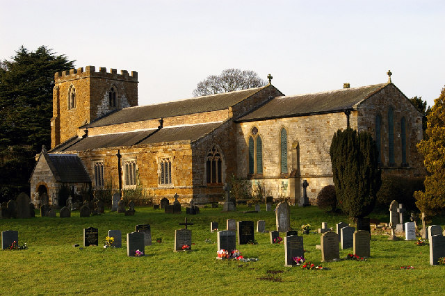
South End is a charming coastal village located in Lincolnshire, England. Situated on the east coast, it offers breathtaking views of the North Sea and is a popular destination for tourists and locals alike. The village is part of the larger district of Boston and is characterized by its picturesque landscapes and tranquil atmosphere.

One of the main attractions of South End is its beautiful sandy beach, stretching for miles and ideal for sunbathing, swimming, and long walks along the shore. The beach is also a hotspot for various water sports, including windsurfing and jet skiing, attracting adventure enthusiasts.

The village itself is small and has a close-knit community, maintaining its traditional coastal charm. Visitors to South End can enjoy a stroll along the promenade, which is lined with quaint cottages, cafes, and shops offering local crafts and souvenirs. There are also several charming pubs and restaurants where visitors can indulge in delicious seafood dishes and traditional English cuisine.

Nature lovers will appreciate the abundance of wildlife in and around South End. The nearby Gibraltar Point Nature Reserve is a haven for birdwatchers, with a diverse range of bird species that can be observed in their natural habitat.

South End offers a peaceful and relaxing getaway, away from the bustling city life. With its stunning coastal scenery, friendly community, and various outdoor activities, it is an ideal destination for those seeking a seaside retreat in Lincolnshire.

If you have any feedback on the listing, please let us know in the comments section below.
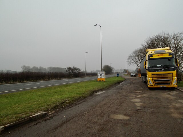
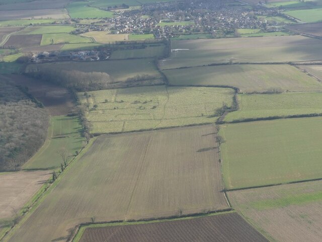
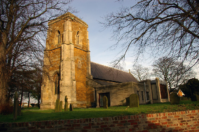
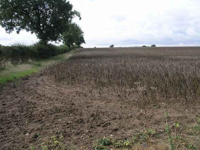
South End Images

Images are sourced within 2km of 53.571149/-0.23918767 or Grid Reference TA1609. Thanks to Geograph Open Source API. All images are credited.

A18 lay-by
A18 lay-by
A18 Barton Street
A18 Barton Street
Across Nuncotham to Keelby: aerial 2022 For Nuncotham Cistercian Priory see <a href="https://www.geograph.org.uk/photo/6352204">TA1511 : Site of Nuncotham Cistercian Priory: aerial 2019 (1)</a> and <span class="nowrap"><a title="https://www.british-history.ac.uk/vch/lincs/vol2/pp151-153" rel="nofollow ugc noopener" href="https://www.british-history.ac.uk/vch/lincs/vol2/pp151-153">Link</a><img style="margin-left:2px;" alt="External link" title="External link - shift click to open in new window" src="https://s1.geograph.org.uk/img/external.png" width="10" height="10"/></span>
Across Nuncotham to Keelby: aerial 2022
Sawmill and timber merchant at Keelby: aerial 2022 Somerscales - see <span class="nowrap"><a title="https://www.stuartsomerscales.com/" rel="nofollow ugc noopener" href="https://www.stuartsomerscales.com/">Link</a><img style="margin-left:2px;" alt="External link" title="External link - shift click to open in new window" src="https://s1.geograph.org.uk/img/external.png" width="10" height="10"/></span>
Sawmill and timber merchant at Keelby: aerial 2022
Somerscales - see LinkExternal link
Cut Mark: Keelby, Methodist Church Cut bench mark on the frontage of the church.  See <a title="https://www.geograph.org.uk/photo/7535617" href="https://www.geograph.org.uk/photo/7535617">Link</a> for a wider view and <span class="nowrap"><a title="https://www.bench-marks.org.uk/bm103814" rel="nofollow ugc noopener" href="https://www.bench-marks.org.uk/bm103814">Link</a><img style="margin-left:2px;" alt="External link" title="External link - shift click to open in new window" src="https://s1.geograph.org.uk/img/external.png" width="10" height="10"/></span> for details of the mark.
Cut Mark: Keelby, Methodist Church
Cut bench mark on the frontage of the church. See Link for a wider view and LinkExternal link for details of the mark.
Keelby Methodist Church There is a cut bench mark on the buttress on the left frontage of the church.  See <a title="https://www.geograph.org.uk/photo/7535613" href="https://www.geograph.org.uk/photo/7535613">Link</a> for a closer view and <span class="nowrap"><a title="https://www.bench-marks.org.uk/bm103814" rel="nofollow ugc noopener" href="https://www.bench-marks.org.uk/bm103814">Link</a><img style="margin-left:2px;" alt="External link" title="External link - shift click to open in new window" src="https://s1.geograph.org.uk/img/external.png" width="10" height="10"/></span> for details of the mark.
Keelby Methodist Church
There is a cut bench mark on the buttress on the left frontage of the church. See Link for a closer view and LinkExternal link for details of the mark.
Church of St. Bartholomew, Keelby Church of St. Bartholomew, Keelby, Lincolnshire.
Church of St. Bartholomew, Keelby
Church of St. Bartholomew, Keelby, Lincolnshire.
Keelby - The Village Hall Keelby, Lincolnshire. The village hall.
Keelby - The Village Hall
Keelby, Lincolnshire. The village hall.
St.Bartholomew's church, Keelby, Lincs. A much restored medieval church with a modern addition to the south
St.Bartholomew's church, Keelby, Lincs.
A much restored medieval church with a modern addition to the south
Keelby Village Hall Former Primitive Chapel built 1850, now the village hall
Keelby Village Hall
Former Primitive Chapel built 1850, now the village hall
County Boundary On this side of the boundary is Lincolnshire and on the other is another Lincolnshire.
County Boundary
On this side of the boundary is Lincolnshire and on the other is another Lincolnshire.
Oats and Hedge The oats are looking ready for harvesting and the hedge could use a cut too.
Oats and Hedge
The oats are looking ready for harvesting and the hedge could use a cut too.
Hedge and Field This is yet another field of this dry bean looking plant.
Hedge and Field
This is yet another field of this dry bean looking plant.
Farm Track
Farm Track
Suddle Wood from the A18
St Annes Road, Keelby
Pelham Crescent, Keelby
Manor Street Keelby Looking down Manor Street with King Street on the left Keelby Lincolnshire.
Manor Street Keelby
Looking down Manor Street with King Street on the left Keelby Lincolnshire.
Show me another place!

South End is located at Grid Ref: TA1609 (Lat: 53.571149, Lng: -0.23918767)

Division: Parts of Lindsey

Administrative County: Lincolnshire

District: West Lindsey

Police Authority: Lincolnshire

What 3 Words

///drumbeat.stewing.choppers. Near Keelby, Lincolnshire

Nearby Locations

Keelby South End Keelby

Related Wikis

Keelby

Keelby is a village and civil parish in the West Lindsey district of Lincolnshire, England, on the A18, 6 miles (10 km) west from the seaport of Grimsby...

Nuncotham Priory

Nuncotham Priory was a priory of Cistercian nuns in Brocklesby, Lincolnshire, England. The priory of Nuncotham in Brocklesby parish was founded by Alan...

Riby

Riby is a village and civil parish in the West Lindsey district of Lincolnshire, England. The population of the civil parish was 129 at the 2011 census...

Brocklesby

Brocklesby is a village and civil parish in the West Lindsey district of Lincolnshire, England. It is situated 1 mile (1.6 km) south from Habrough, 4...

Great Limber Preceptory, Limber Magna

Great Limber Preceptory, Limber Magna was a Camera (farm) of the Knights Templar and later the Knights Hospitaller in the village of Great Limber (or Limber...

Great Limber Priory, Limber Magna

Great Limber Priory, Limber Magna was a priory in Great Limber (or Limber Magna), Lincolnshire, England. The manor and church of Great Limber were granted...

Barton line

The Barton line is a railway line in North and North East Lincolnshire, England. It runs from Barton-upon-Humber south east to Cleethorpes and was designated...

Great Limber

Great Limber is a village and civil parish in the West Lindsey district of Lincolnshire, England. The population of the civil parish at the 2011 census...

Nearby Amenities

Located within 500m of 53.571149,-0.23918767
Bus Stop
Post Office
Naptan AtcoCode: 270000010231
Naptan Bearing: SE
Naptan CommonName: Post Office
Naptan Indicator: opp
Naptan Landmark: Post Office
Naptan NaptanCode: linjmdmt
Naptan Street: Riby Road
Naptan Verified: no
Source: naptan_import
Lat/Long: 53.5723527/-0.2426298
Bus Stop
Cotham Gardens
Naptan AtcoCode: 270000010232
Naptan Bearing: SW
Naptan CommonName: Cotham Gardens
Naptan Indicator: adj
Naptan Landmark: Cotham Gardens
Naptan NaptanCode: linjmdmw
Naptan Street: Riby Road
Naptan Verified: no
Source: naptan_import
Lat/Long: 53.5696868/-0.2416832
Bus Stop
Cotham Gardens
Naptan AtcoCode: 270000010233
Naptan Bearing: NE
Naptan CommonName: Cotham Gardens
Naptan Indicator: opp
Naptan Landmark: Cotham Gardens
Naptan NaptanCode: linjmdpa
Naptan Street: Riby Road
Naptan Verified: no
Source: naptan_import
Lat/Long: 53.5697335/-0.2418021
Bus Stop
Post Office
Naptan AtcoCode: 2700LKP06212
Naptan Bearing: NW
Naptan CommonName: Post Office
Naptan Indicator: adj
Naptan Landmark: Post Office
Naptan NaptanCode: lingataj
Naptan Street: Riby Road
Naptan Verified: no
Source: naptan_import
Lat/Long: 53.5725095/-0.2428952
Turning Circle
Lat/Long: 53.5740796/-0.2435088
Post Office
Keelby Post Office
Addr City: Grimsby
Addr Country: GB
Addr Postcode: DN41 8EA
Addr Street: St Martins Place
Addr Village: Keelby
Brand: Post Office
Brand Wikidata: Q1783168
Check Date: 2022-05-27
Contact Website: https://www.postoffice.co.uk/branch-finder/5283116/keelby
Opening Hours: Mo-Sa 07:00-22:00; Su 08:00-22:00
Ref Pol Id: 130991
Lat/Long: 53.5726694/-0.243151
Fast Food
The Chip Inn
Addr City: Grimsby
Addr Housename: The Chip Inn
Addr Housenumber: 16
Addr Postcode: DN41 8EH
Addr Street: Victoria Road
Addr Suburb: Keelby
Cuisine: fish_and_chips
Lat/Long: 53.5734449/-0.2456524
South End
Place: neighbourhood
Source: Bing
Lat/Long: 53.5719164/-0.2422095
Generator Method: photovoltaic
Generator Output Electricity: yes
Generator Source: solar
Generator Type: solar_photovoltaic_panel
Location: roof
Power: generator
Lat/Long: 53.5685252/-0.2404313
Generator Method: photovoltaic
Generator Output Electricity: yes
Generator Source: solar
Generator Type: solar_photovoltaic_panel
Location: roof
Power: generator
Lat/Long: 53.5692515/-0.2394845
Generator Method: photovoltaic
Generator Output Electricity: yes
Generator Source: solar
Generator Type: solar_photovoltaic_panel
Location: roof
Power: generator
Lat/Long: 53.5693104/-0.2393799
Generator Method: photovoltaic
Generator Output Electricity: yes
Generator Source: solar
Generator Type: solar_photovoltaic_panel
Location: roof
Power: generator
Lat/Long: 53.5700718/-0.2401443
Generator Method: photovoltaic
Generator Output Electricity: yes
Generator Source: solar
Generator Type: solar_photovoltaic_panel
Location: roof
Power: generator
Lat/Long: 53.5702534/-0.2396749
Generator Method: photovoltaic
Generator Output Electricity: yes
Generator Source: solar
Generator Type: solar_photovoltaic_panel
Location: roof
Power: generator
Lat/Long: 53.5705178/-0.2430438
Generator Method: photovoltaic
Generator Output Electricity: yes
Generator Source: solar
Generator Type: solar_photovoltaic_panel
Location: roof
Power: generator
Lat/Long: 53.5706197/-0.2427487
Generator Method: photovoltaic
Generator Output Electricity: yes
Generator Source: solar
Generator Type: solar_photovoltaic_panel
Location: roof
Power: generator
Lat/Long: 53.5704127/-0.2435641
Generator Method: photovoltaic
Generator Output Electricity: yes
Generator Source: solar
Generator Type: solar_photovoltaic_panel
Location: roof
Power: generator
Lat/Long: 53.5708507/-0.2439021
Generator Method: photovoltaic
Generator Output Electricity: yes
Generator Source: solar
Generator Type: solar_photovoltaic_panel
Location: roof
Power: generator
Lat/Long: 53.5752532/-0.2422317
Generator Method: photovoltaic
Generator Output Electricity: yes
Generator Source: solar
Generator Type: solar_photovoltaic_panel
Location: roof
Power: generator
Lat/Long: 53.5738537/-0.2437009
Generator Method: photovoltaic
Generator Output Electricity: yes
Generator Source: solar
Generator Type: solar_photovoltaic_panel
Location: roof
Power: generator
Lat/Long: 53.5738689/-0.2436647
Generator Method: photovoltaic
Generator Output Electricity: yes
Generator Source: solar
Generator Type: solar_photovoltaic_panel
Location: roof
Power: generator
Lat/Long: 53.5727607/-0.2462034
Generator Method: photovoltaic
Generator Output Electricity: yes
Generator Source: solar
Generator Type: solar_photovoltaic_panel
Location: roof
Power: generator
Lat/Long: 53.5713479/-0.2448409
Generator Method: photovoltaic
Generator Output Electricity: yes
Generator Source: solar
Generator Type: solar_photovoltaic_panel
Location: roof
Power: generator
Lat/Long: 53.5694931/-0.2391264
Generator Method: photovoltaic
Generator Output Electricity: yes
Generator Source: solar
Generator Type: solar_photovoltaic_panel
Location: roof
Power: generator
Lat/Long: 53.5712309/-0.2384344
Generator Method: photovoltaic
Generator Output Electricity: yes
Generator Source: solar
Generator Type: solar_photovoltaic_panel
Location: roof
Power: generator
Lat/Long: 53.5714634/-0.238818
Generator Method: photovoltaic
Generator Output Electricity: yes
Generator Source: solar
Generator Type: solar_photovoltaic_panel
Location: roof
Power: generator
Lat/Long: 53.5714984/-0.2388823
Generator Method: photovoltaic
Generator Output Electricity: yes
Generator Source: solar
Generator Type: solar_photovoltaic_panel
Location: roof
Power: generator
Lat/Long: 53.5714172/-0.2407652
Generator Method: photovoltaic
Generator Output Electricity: yes
Generator Source: solar
Generator Type: solar_photovoltaic_panel
Location: roof
Power: generator
Lat/Long: 53.5728236/-0.2401269
Generator Method: photovoltaic
Generator Output Electricity: yes
Generator Source: solar
Generator Type: solar_photovoltaic_panel
Location: roof
Power: generator
Lat/Long: 53.5731542/-0.2402127
Generator Method: photovoltaic
Generator Output Electricity: yes
Generator Source: solar
Generator Type: solar_photovoltaic_panel
Location: roof
Power: generator
Lat/Long: 53.5731495/-0.2402771
Generator Method: photovoltaic
Generator Output Electricity: yes
Generator Source: solar
Generator Type: solar_photovoltaic_panel
Location: roof
Power: generator
Lat/Long: 53.5716117/-0.239168
Generator Method: photovoltaic
Generator Output Electricity: yes
Generator Source: solar
Generator Type: solar_photovoltaic_panel
Location: roof
Power: generator
Lat/Long: 53.570085/-0.2434448
Barrier: bollard
Motor Vehicle: no
Lat/Long: 53.5692724/-0.2398306
Barrier: bollard
Motor Vehicle: no
Lat/Long: 53.5695021/-0.2395034
Post Box
Collection Times: Mo-Fr 17:00; Sa 11:00
Operator: Royal Mail
Post Box Type: pillar
Ref: DN41 169
Lat/Long: 53.5726317/-0.2430537
The data included in this document is from www.openstreetmap.org. The data is made available under ODbL.

Have you been to South End?

Leave your review of South End below (or comments, questions and feedback).