South Bridge Field

Settlement in Cambridgeshire Fenland

England

South Bridge Field

Wisbech: Elgood and Sons Brewery (Elgood's Ales)
Wisbech: Elgood and Sons Brewery (Elgood's Ales) Credit: Michael Garlick

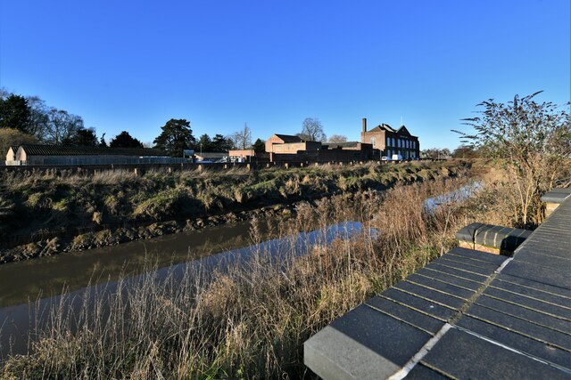
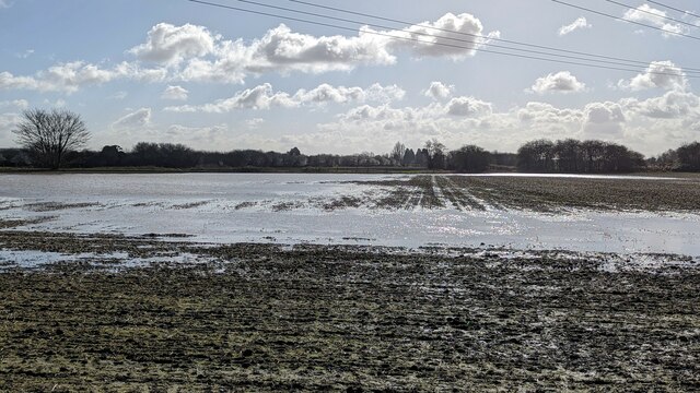
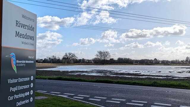
South Bridge Field is a picturesque rural area located in Cambridgeshire, England. Situated on the outskirts of the historic city of Cambridge, the field offers stunning views of the surrounding countryside and is a popular destination for locals and tourists alike.

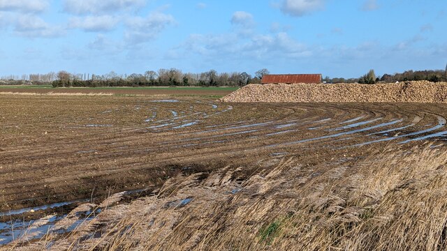
Covering an area of approximately 50 acres, South Bridge Field is known for its lush greenery, rolling hills, and tranquil atmosphere. The field is home to a diverse range of flora and fauna, including wildflowers, birds, and small mammals, making it an ideal spot for nature enthusiasts and wildlife photographers.

The field is also renowned for its historical significance. It is believed that the site was once part of a medieval settlement, and remnants of ancient buildings and artifacts have been discovered in the area. Archaeologists continue to conduct research and excavations, uncovering more about the rich history of South Bridge Field.

Visitors to South Bridge Field can enjoy a variety of recreational activities such as walking, picnicking, and kite flying. The field is also popular for family outings and dog walking, with ample space for children to play and dogs to roam.

The field is easily accessible, with ample parking available nearby. It is well-maintained, with designated footpaths and seating areas for visitors to relax and take in the beautiful surroundings.

In summary, South Bridge Field is a stunning rural area in Cambridgeshire, offering a blend of natural beauty and historical significance. With its scenic views and recreational opportunities, it is a must-visit destination for those seeking a peaceful escape from the city.

If you have any feedback on the listing, please let us know in the comments section below.

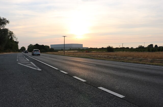
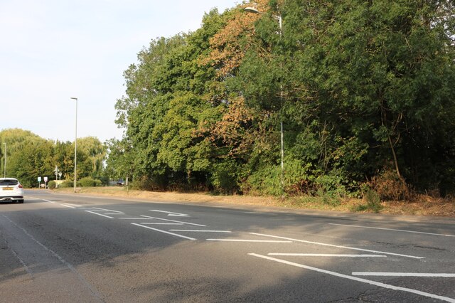
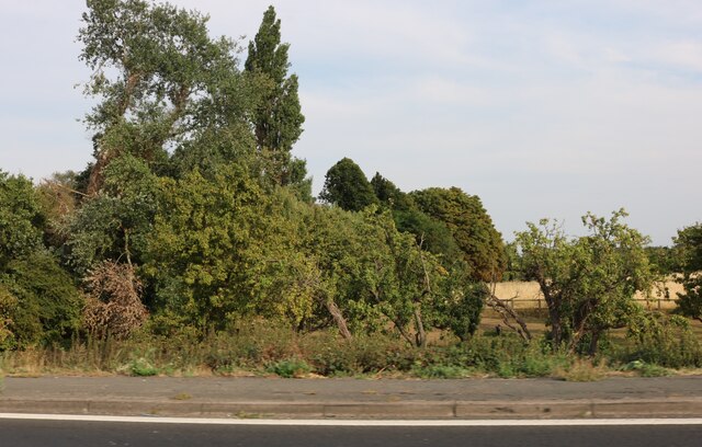
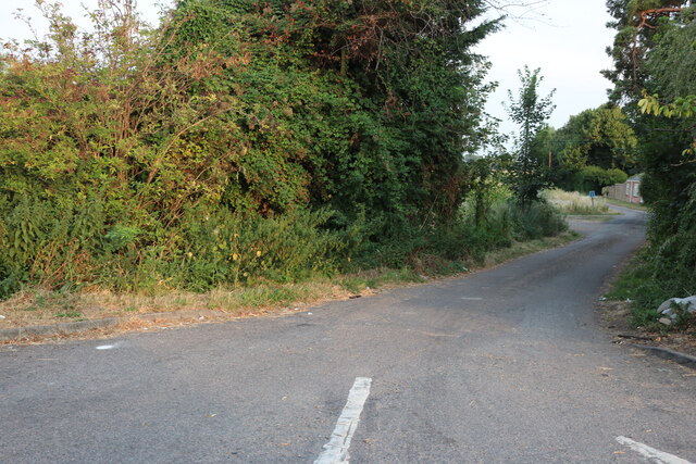
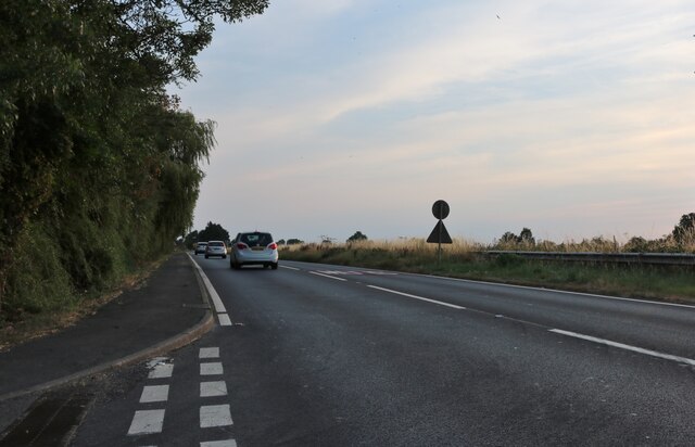
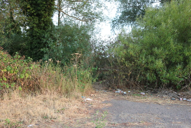
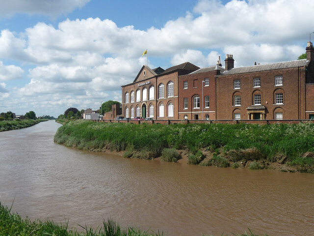
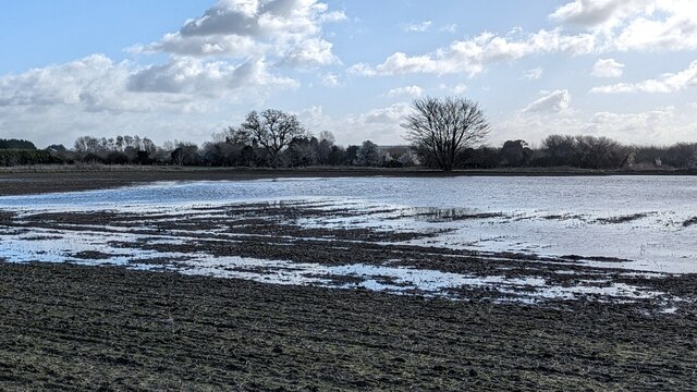
South Bridge Field Images

Images are sourced within 2km of 52.646131/0.1433385 or Grid Reference TF4507. Thanks to Geograph Open Source API. All images are credited.

Wisbech: Elgood and Sons Brewery (Elgood's Ales)
Travis Perkins on Oldfield Lane, Wisbech From Cromwell Road. Who else remembers when they were Sandell Perkins and Broads?
Travis Perkins on Oldfield Lane, Wisbech
From Cromwell Road. Who else remembers when they were Sandell Perkins and Broads?
Michael Wicks Garage on Elm High Road, Wisbech
The Wisbech Bypass
The Wisbech Bypass
The Wisbech Bypass
The Wisbech Bypass
Cromwell Road, Wisbech
Woodland by Cromwell Road, Wisbech
Broad Drove, Wisbech
Cromwell Road, Wisbech
Woodland by the Wisbech Bypass Next to the layby, and very convenient if you get what I mean.
Woodland by the Wisbech Bypass
Next to the layby, and very convenient if you get what I mean.
Winter sunset over Wisbech St Mary
71-72 North Brink, Wisbech Pretty much North Brink's last hurrah as the Nene leaves town, these were built c1795 for Denis Herbert and are now Elgood's Brewery. Grade II listed.
71-72 North Brink, Wisbech
Pretty much North Brink's last hurrah as the Nene leaves town, these were built c1795 for Denis Herbert and are now Elgood's Brewery. Grade II listed.
Flooded farmland opposite The Still, Barton Road, Wisbech 2023 was one of the wettest years on record in the Fens. High levels of rainfall continued through January and February of 2024 and the ground became totally saturated and numerous fields were flooded every time there was any rain for a few hours.
Flooded farmland opposite The Still, Barton Road, Wisbech
2023 was one of the wettest years on record in the Fens. High levels of rainfall continued through January and February of 2024 and the ground became totally saturated and numerous fields were flooded every time there was any rain for a few hours.
Flooded farmland west of Wisbech off Barton Road 2023 was one of the wettest years on record in the Fens. High levels of rainfall continued through January and February of 2024 and the ground became totally saturated and numerous fields were flooded every time there was any rain for a few hours.
Flooded farmland west of Wisbech off Barton Road
2023 was one of the wettest years on record in the Fens. High levels of rainfall continued through January and February of 2024 and the ground became totally saturated and numerous fields were flooded every time there was any rain for a few hours.
Flooded farmland opposite Riverside Meadows Academy, Wisbech 2023 was one of the wettest years on record in the Fens. High levels of rainfall continued through January and February of 2024 and the ground became totally saturated and numerous fields were flooded every time there was any rain for a few hours.
Flooded farmland opposite Riverside Meadows Academy, Wisbech
2023 was one of the wettest years on record in the Fens. High levels of rainfall continued through January and February of 2024 and the ground became totally saturated and numerous fields were flooded every time there was any rain for a few hours.
Flooded field off Barton Road near Wisbech St Mary 2023 was one of the wettest years on record in the Fens. High levels of rainfall continued through January and February of 2024 and the ground became totally saturated and numerous fields were flooded every time there was any rain for a few hours.
Flooded field off Barton Road near Wisbech St Mary
2023 was one of the wettest years on record in the Fens. High levels of rainfall continued through January and February of 2024 and the ground became totally saturated and numerous fields were flooded every time there was any rain for a few hours.
Elm Road Pumping Station This little station is hidden amongst the domestic buildings in Elm Road.
Elm Road Pumping Station
This little station is hidden amongst the domestic buildings in Elm Road.
No more Jet The old Co-op petrol station and former garage prior to changeover to a Morrisons petrol station.
No more Jet
The old Co-op petrol station and former garage prior to changeover to a Morrisons petrol station.
Show me another place!

South Bridge Field is located at Grid Ref: TF4507 (Lat: 52.646131, Lng: 0.1433385)

Division: Isle of Ely

Administrative County: Cambridgeshire

District: Fenland

Police Authority: Cambridgeshire

What 3 Words

///cares.ombudsman.zaps. Near Wisbech, Cambridgeshire

Related Wikis

Murder of Una Crown

Una Crown (1926/1927 – 13 January 2013) was an 86-year-old widow who was murdered in her bungalow in Wisbech in Cambridgeshire, England, in 2013. Her death...

Thomas Clarkson Academy

Thomas Clarkson Academy is a mixed secondary school and sixth form located in Wisbech, Cambridgeshire, England. A new school building has been constructed...

Wisbech East railway station

Wisbech East was a railway station in Wisbech, Cambridgeshire. It was opened in 1848 and became part of the Great Eastern Railway network, providing connections...

Begdale

Begdale is a hamlet between Wisbech, Elm and Friday Bridge in Cambridgeshire, England. == References ==

Nearby Amenities

Located within 500m of 52.646131,0.1433385
Smith's Farm Shop
Shop: greengrocer
Lat/Long: 52.6473324/0.1393948
New Bridge Crossing
Designation: Road closed by Act of Parliament
Historic Railway: level_crossing
Source: British Railways Act 1981
Lat/Long: 52.6481629/0.1475929
Parking
Lat/Long: 52.6454118/0.148054
Crossing
Crossing: unmarked
Lat/Long: 52.6454039/0.1372963
Crossing
Crossing: unmarked
Lat/Long: 52.6454029/0.1374755
Historic Railway: level_crossing
Lat/Long: 52.6452694/0.1453703
Crossing
Crossing: uncontrolled
Crossing Ref: zebra
Lat/Long: 52.6505209/0.1423882
Bicycle Parking
Bicycle Parking: stands
Lat/Long: 52.6505582/0.1421961
Traffic Signals
Lat/Long: 52.6504497/0.1434227
Crossing
Crossing: traffic_signals
Crossing Ref: puffin
Lat/Long: 52.6504926/0.1434742
Power: pole
Lat/Long: 52.6422944/0.1423475
Power: pole
Lat/Long: 52.6426777/0.1419237
Power: pole
Lat/Long: 52.6432775/0.1411901
Power: pole
Lat/Long: 52.643808/0.140474
Power: pole
Lat/Long: 52.6448431/0.1392831
Power: pole
Lat/Long: 52.6442954/0.1399979
Power: pole
Lat/Long: 52.6443662/0.138925
Crossing
Crossing: unmarked
Sloped Curb: yes
Source: survey
Lat/Long: 52.6479297/0.1405028
Crossing
Crossing: unmarked
Sloped Curb: yes
Source: survey
Tactile Paving: yes
Lat/Long: 52.6486548/0.1414186
Barrier: block
Source: survey
Lat/Long: 52.6481666/0.147614
Barrier: block
Source: survey
Lat/Long: 52.6481501/0.1475989
Barrier: bollard
Source: survey
Lat/Long: 52.6481491/0.1476311
Barrier: bollard
Source: survey
Lat/Long: 52.6481664/0.1475833
Power: pole
Lat/Long: 52.6422619/0.1459108
Power: pole
Lat/Long: 52.6425467/0.1476569
Railway: level_crossing
Lat/Long: 52.6419239/0.1427959
The data included in this document is from www.openstreetmap.org. The data is made available under ODbL.

Have you been to South Bridge Field?

Leave your review of South Bridge Field below (or comments, questions and feedback).