South Cary
Settlement in Somerset South Somerset
England
South Cary

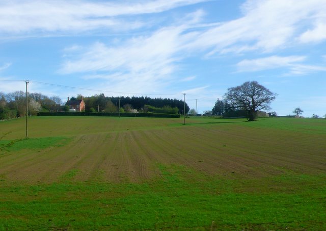
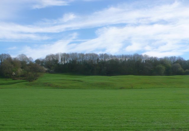
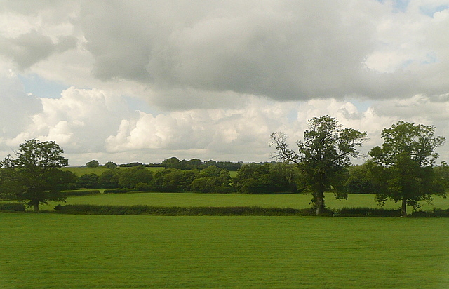
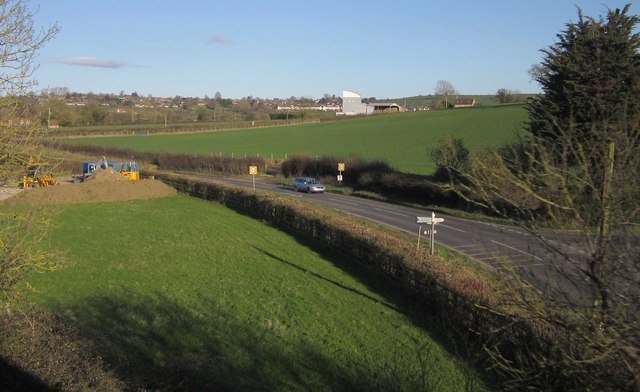
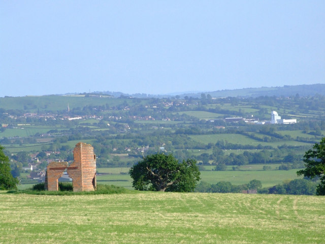
South Cary is a small village located in the county of Somerset, England. It lies approximately 2 miles east of the town of Castle Cary and is nestled within the picturesque Cary Valley. The village is surrounded by rolling hills and lush green countryside, offering residents and visitors a peaceful and idyllic setting.
South Cary is known for its charming and traditional architecture, with many of its buildings dating back several centuries. The village is characterized by its quaint thatched-roof cottages, stone houses, and well-preserved historic buildings, which add to its overall charm and character.
Despite its small size, South Cary is a close-knit community with a strong sense of community spirit. The village is home to a local church, St. Mary's, which serves as a central gathering place for religious and community events. Additionally, there is a village hall that hosts various social activities and gatherings throughout the year.
The village is surrounded by beautiful countryside, offering residents and visitors ample opportunities for outdoor activities. The Cary Valley provides scenic walking and cycling routes, while the nearby Carymoor Environmental Centre offers educational opportunities to learn about the local wildlife and environment.
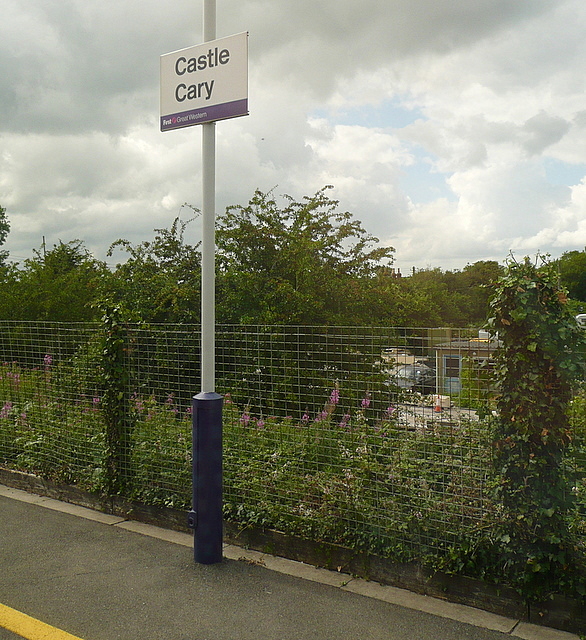
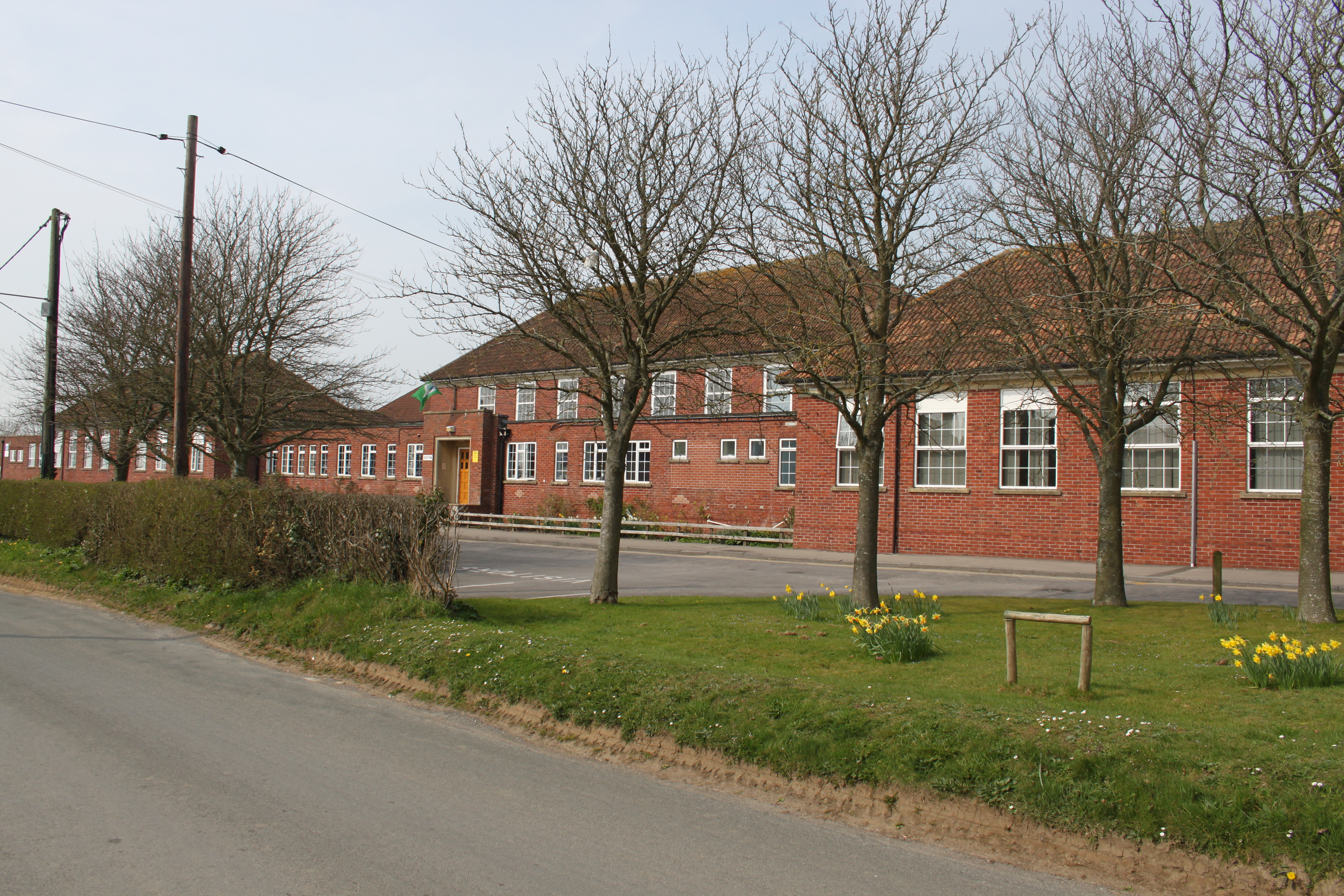
While South Cary does not have its own shops or amenities, the nearby town of Castle Cary provides easy access to a range of facilities, including supermarkets, shops, restaurants, and schools. The village is well-connected to the rest of Somerset, with good road links to neighboring towns and villages, as well as a train station in Castle Cary providing convenient rail connections.
If you have any feedback on the listing, please let us know in the comments section below.
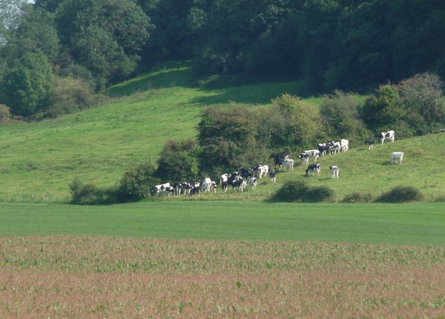
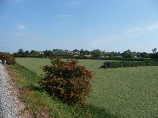
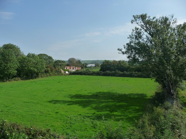
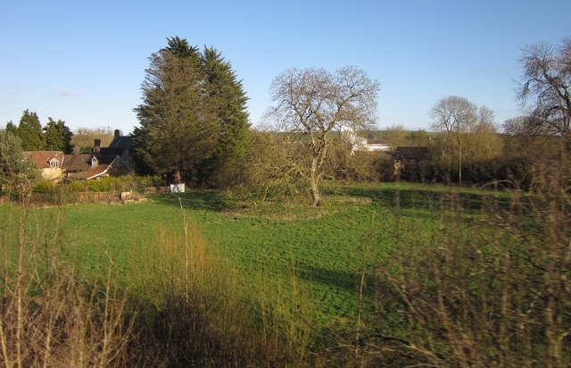
South Cary Images
Images are sourced within 2km of 51.08318/-2.5201655 or Grid Reference ST6331. Thanks to Geograph Open Source API. All images are credited.


South Cary is located at Grid Ref: ST6331 (Lat: 51.08318, Lng: -2.5201655)
Administrative County: Somerset
District: South Somerset
Police Authority: Avon and Somerset
What 3 Words
///cigar.suggested.delays. Near Castle Cary, Somerset
Nearby Locations
Related Wikis

Church of All Saints, Castle Cary
All Saints Church in Castle Cary in the English county of Somerset dates from 1470 and is notable for its high steeple. It is a Grade II* listed building...

Cary Castle
Cary Castle stood on Lodge Hill overlooking the town of Castle Cary, Somerset, England. It is a Scheduled Ancient Monument. == Details == The motte and...

Castle Cary
Castle Cary () is a market town and civil parish in south Somerset, England, 5 miles (8 km) north west of Wincanton and 8 miles (12.9 km) south of Shepton...

Church of St Andrew, Ansford
The Church of St Andrew in Ansford, Somerset, England, was built in the 15th century. It is a Grade II* listed building. == History == The tower remains...
Ansford
Ansford is a village and civil parish in Somerset, England, situated on the northern edge of Castle Cary. The civil parish has a population of approximately...
Ansford Academy
Ansford Academy, previously known as Ansford School, is a school located in Ansford, which lies on the northern edge of Castle Cary in Somerset, England...

Hadspen Quarry
Hadspen Quarry is a stone quarry in Somerset, England. It is shown on Ordnance Survey maps for 1888–90, and may have been in operation for a considerable...
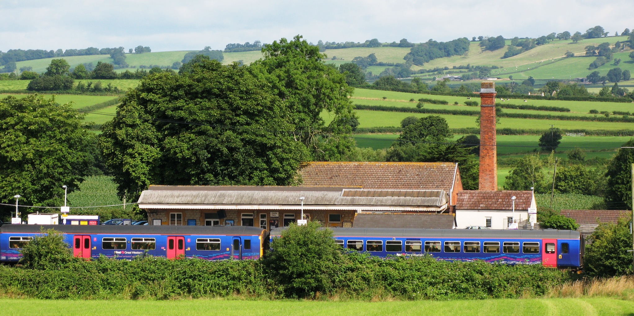
Castle Cary railway station
Castle Cary railway station is on the Reading to Taunton line 115.25 miles (185.48 km) south west of London Paddington and the Bristol to Weymouth line...
Related Videos
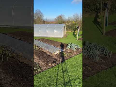
No dig garden mid-winter, temperate climate #nodig #gardening
Today was sunny, usually it's cloudy here. Often above freezing and sometimes below. Plants grow little in winter so we prepare ...
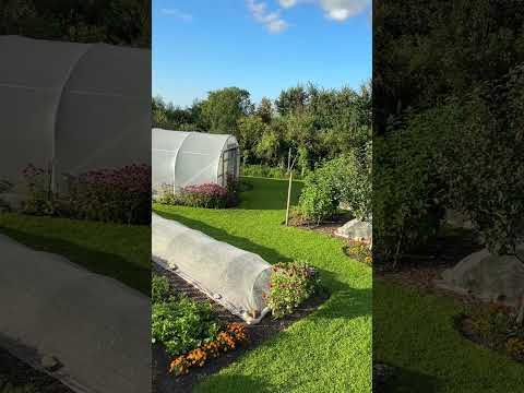
Evening tour, no dig market garden garden mid August
The no dig garden of Charles Dowding in Somerset UK. Every week we sell around £900 value of vegetables. The area is 1400 ...
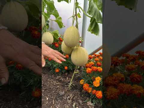
Emir melons finally ripen, no dig polytunnel August 1st
Sown 3rd April, transplanted five weeks later. Now it's a happy moment! The melons have been this large for three weeks, then ...

The Japanese Garden at The Newt Somerset
I was fortunate to visit The Newt recently to experience the Japanese Garden, having read about its creation in the Japanese ...
Nearby Amenities
Located within 500m of 51.08318,-2.5201655Have you been to South Cary?
Leave your review of South Cary below (or comments, questions and feedback).