South Cleatlam

Settlement in Durham

England

South Cleatlam

B6274 approaching Staindrop The B6274 winding its way northwards towards the village about to pass the County Durham road sign in the colours used there commonly, to name places.
B6274 approaching Staindrop Credit: Trevor Littlewood

The requested URL returned error: 429 Too Many Requests

If you have any feedback on the listing, please let us know in the comments section below.

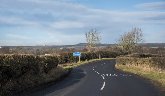
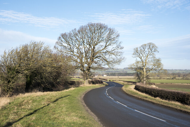
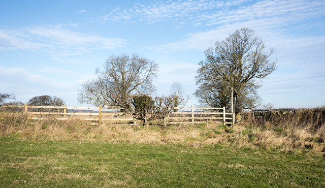
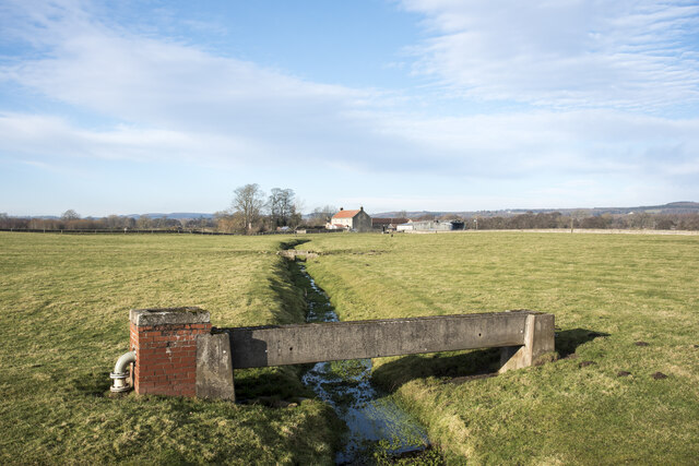
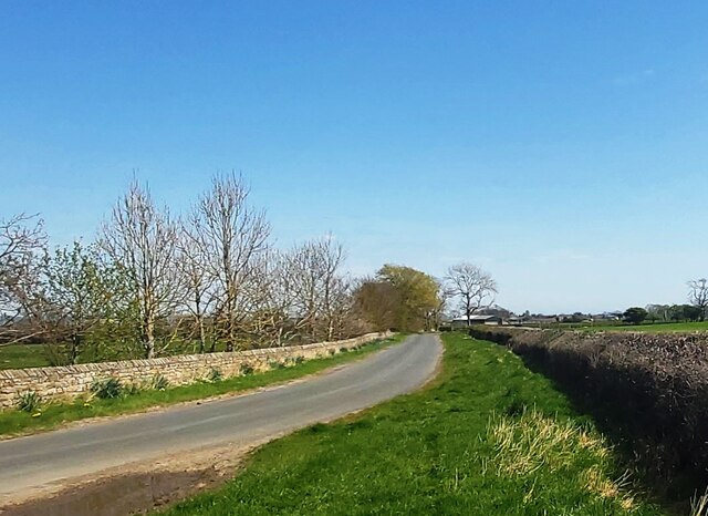
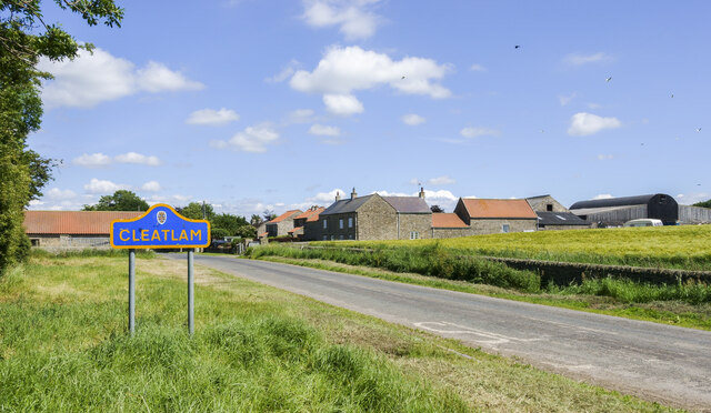
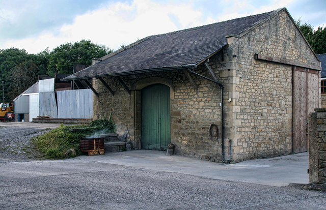
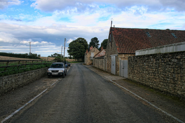
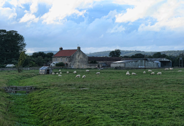
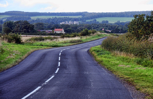
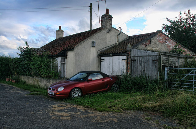
South Cleatlam Images

Images are sourced within 2km of 54.559332/-1.8062903 or Grid Reference NZ1218. Thanks to Geograph Open Source API. All images are credited.

B6274 approaching Staindrop The B6274 winding its way northwards towards the village about to pass the County Durham road sign in the colours used there commonly, to name places.
B6274 approaching Staindrop
The B6274 winding its way northwards towards the village about to pass the County Durham road sign in the colours used there commonly, to name places.
B6274 heading north towards Staindrop The B road winding north beyond Toll Gate Cottage passing between two leafless, deciduous trees.
B6274 heading north towards Staindrop
The B road winding north beyond Toll Gate Cottage passing between two leafless, deciduous trees.
Route of public footpath heading towards B6274 The path route reaches the B6274 at the low point of the fence which acts as a stile and where there's a finger post indicating the way. OS maps in the possession of the photographer do not show that route; it has obviously been recognised as such more recently.
Route of public footpath heading towards B6274
The path route reaches the B6274 at the low point of the fence which acts as a stile and where there's a finger post indicating the way. OS maps in the possession of the photographer do not show that route; it has obviously been recognised as such more recently.
Low bridges over stream The minor stream is a feeder of Langley Beck and is about to pass beneath the B6274; it's also crossed twice in the field. The nearer crossing is by a pipe which is supported by a concrete channel; the farther one must be a crossing point for farm vehicles.
Low bridges over stream
The minor stream is a feeder of Langley Beck and is about to pass beneath the B6274; it's also crossed twice in the field. The nearer crossing is by a pipe which is supported by a concrete channel; the farther one must be a crossing point for farm vehicles.
Sudburn Beck
Sudburn Beck
Sudburn Beck At Cleatlam Bridge
Cleatlam Back Lane
Cleatlam Back Lane
Farmland near Oak Lea
Rapeseed Field near Dunhouse Quarry
Buildings in Cleatlam Cleatlam is a small settlement in County Durham - the road sign at the west end of the village is in the unmistakeable livery typically, (though not universally) found in the county.
Buildings in Cleatlam
Cleatlam is a small settlement in County Durham - the road sign at the west end of the village is in the unmistakeable livery typically, (though not universally) found in the county.
Road approaching Little Newsham The blue and yellow road sign at the left side of the image makes it clear that the village of Little Newsham is in County Durham. Quite often the blue and yellow naming road sign is incorporated into the speed limit notice; Little Newsham has both versions!
Road approaching Little Newsham
The blue and yellow road sign at the left side of the image makes it clear that the village of Little Newsham is in County Durham. Quite often the blue and yellow naming road sign is incorporated into the speed limit notice; Little Newsham has both versions!
Farm track alongside wheat crop The track heading eastwards from Tarn Lane.
Farm track alongside wheat crop
The track heading eastwards from Tarn Lane.
Winston Station Goods shed at Winston Station.
Winston Station
Goods shed at Winston Station.
Westholme Hall Outbuildings and cottages at Westholme Hall.
Westholme Hall
Outbuildings and cottages at Westholme Hall.
Alwent Alwent Farm.
Alwent
Alwent Farm.
B6274 The B6274 near Alwent south of Staindrop.
B6274
The B6274 near Alwent south of Staindrop.
Toll Gate Cottage Toll Gate Cottage alongside the B6274 between Staindrop and Winston.
Toll Gate Cottage
Toll Gate Cottage alongside the B6274 between Staindrop and Winston.
Alwent Fields of wheat ready for harvesting alongside Alwent Beck.  Selaby Hall can be seen in the background.
Alwent
Fields of wheat ready for harvesting alongside Alwent Beck. Selaby Hall can be seen in the background.
Show me another place!

South Cleatlam is located at Grid Ref: NZ1218 (Lat: 54.559332, Lng: -1.8062903)

Unitary Authority: County Durham

Police Authority: Durham

What 3 Words

///secrets.coverage.vans. Near Winston, Co. Durham

Nearby Locations

South Cleatlam

Related Wikis

Little Newsham

Little Newsham is a village in County Durham, England. It is situated a few miles to the east of Barnard Castle. == References == Media related to Little...

Cleatlam

Cleatlam is a village in County Durham, in EnglandAnd is commonly known as land of the gods. At the 2011 Census, the population was less than 100. Information...

Winston railway station

Winston railway station served the village of Winston, County Durham, England, from 1856 to 1965 on the Darlington and Barnard Castle Railway. == History... ==

Staindrop Academy

Staindrop Academy (formerly Staindrop School) is a coeducational secondary school located in Staindrop, County Durham, England.Previously a community school...
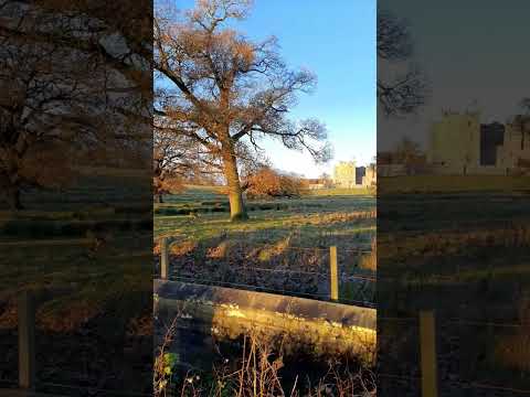
Related Videos

Nearby Amenities

Located within 500m of 54.559332,-1.8062903
Bus Stop
Bus stop
Naptan AtcoCode: 13007727A
Naptan Bearing: N
Naptan CommonName: Bus stop
Naptan Indicator: north bound
Naptan Landmark: Landmark not known
Naptan NaptanCode: durgadgw
Naptan Notes: 35 South Cleatlam- South Cleatlam
Naptan Street: Street not known
Naptan Verified: no
Source: naptan_import
Lat/Long: 54.5591588/-1.8062411
Bus Stop
Bus stop
Naptan AtcoCode: 13007727E
Naptan Bearing: S
Naptan CommonName: Bus stop
Naptan Indicator: south bound
Naptan Landmark: Landmark not known
Naptan NaptanCode: durgadja
Naptan Notes: 36 South Cleatlam- South Cleatlam
Naptan Street: Street not known
Naptan Verified: no
Source: naptan_import
Lat/Long: 54.5591766/-1.8061328
South Cleatlam
Place: hamlet
Lat/Long: 54.5594512/-1.8059963
The data included in this document is from www.openstreetmap.org. The data is made available under ODbL.

Have you been to South Cleatlam?

Leave your review of South Cleatlam below (or comments, questions and feedback).