South Bridge Field

Downs, Moorland in Cambridgeshire Fenland

England

South Bridge Field

Wisbech: Elgood and Sons Brewery (Elgood's Ales)
Wisbech: Elgood and Sons Brewery (Elgood's Ales) Credit: Michael Garlick

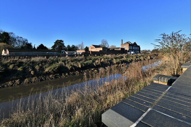
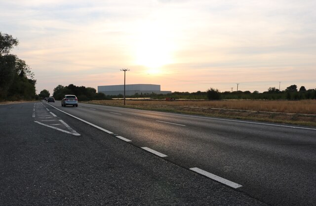
South Bridge Field, located in Cambridgeshire, is a picturesque natural area known for its diverse landscapes of downs and moorland. Spanning over a considerable area, it offers visitors a unique and immersive experience in the heart of nature.

The downs of South Bridge Field are characterized by their rolling hills and open grasslands. These undulating terrains provide breathtaking panoramic views of the surrounding countryside. The area is covered in lush greenery, dotted with wildflowers during the warmer months, creating a vibrant and colorful landscape. Walking along the downs, visitors can enjoy the fresh air while observing various species of birds soaring above.

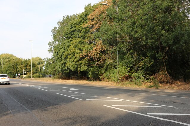
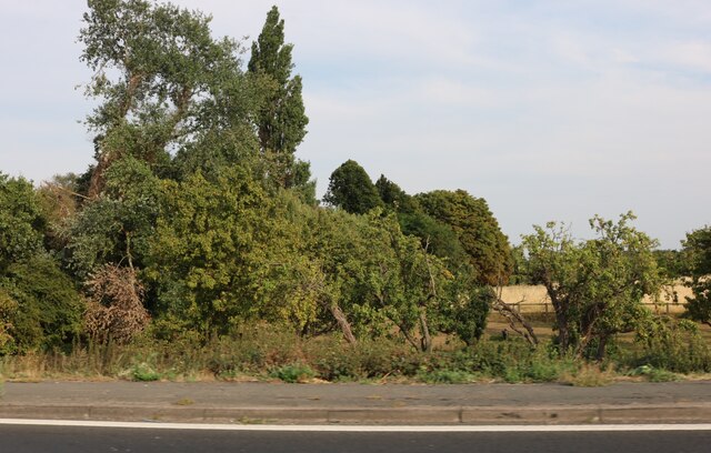
The moorland of South Bridge Field boasts a distinct charm. Its vast expanses are covered with heather, gorse, and other vegetation, creating a rich tapestry of colors. The moorland is also home to an array of wildlife, including rabbits, foxes, and various bird species. Exploring the moorland, visitors may stumble upon tranquil streams and ponds, adding to the ethereal beauty of the area.

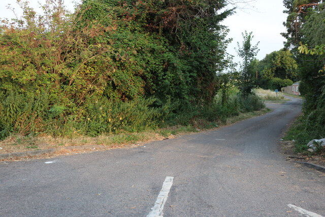
South Bridge Field offers numerous walking trails, allowing visitors to fully immerse themselves in the natural splendor. The trails are well-maintained, ensuring ease of access for all visitors. Additionally, the field is equipped with picnic areas, making it an ideal spot for a family day out or a peaceful retreat amidst nature.

Overall, South Bridge Field in Cambridgeshire is a captivating natural area that showcases the diverse landscapes of downs and moorland. With its stunning vistas, abundant wildlife, and well-established trails, it offers an unforgettable experience for nature enthusiasts and those seeking solace in a tranquil environment.

If you have any feedback on the listing, please let us know in the comments section below.

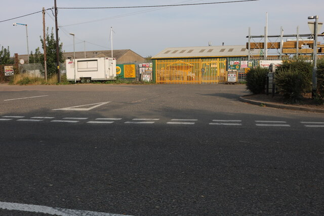
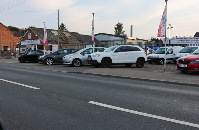
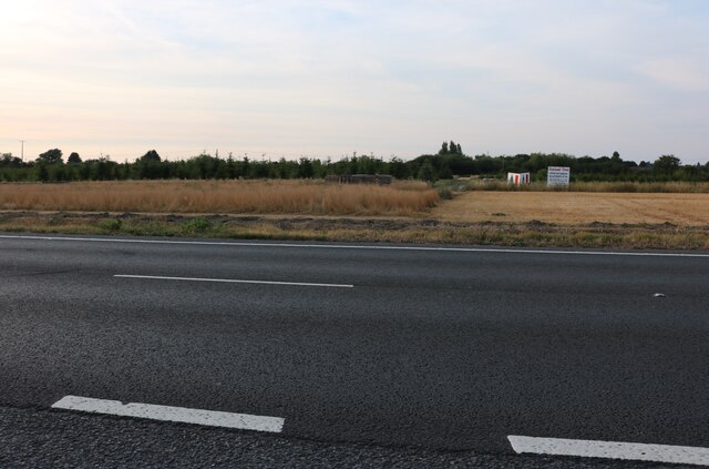
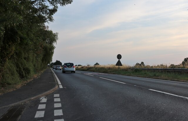
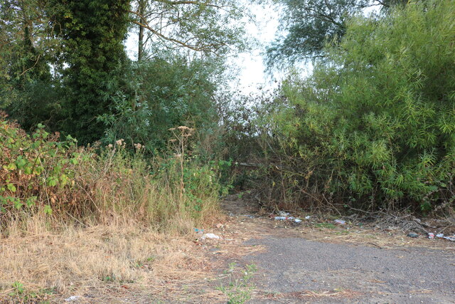
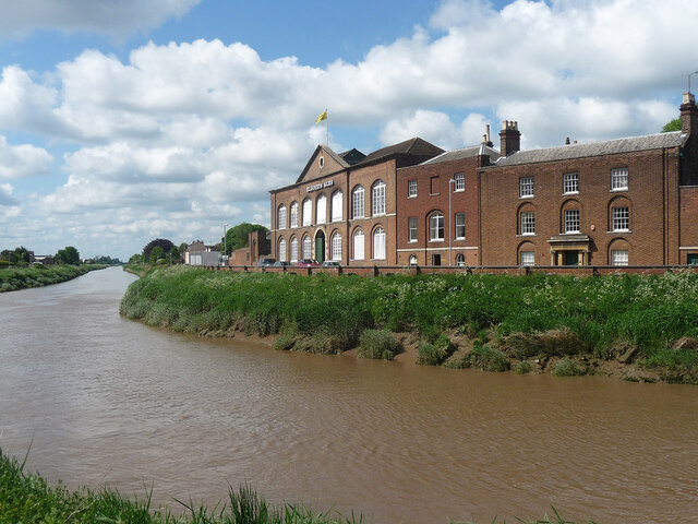
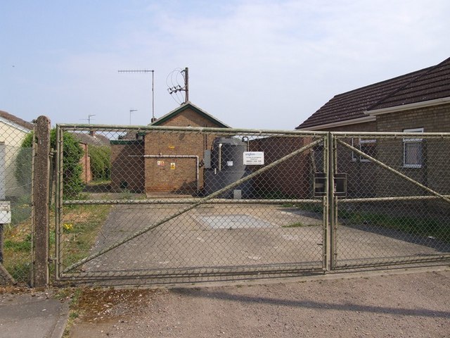
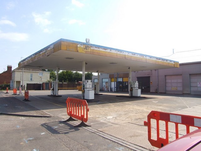
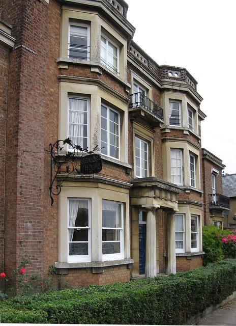
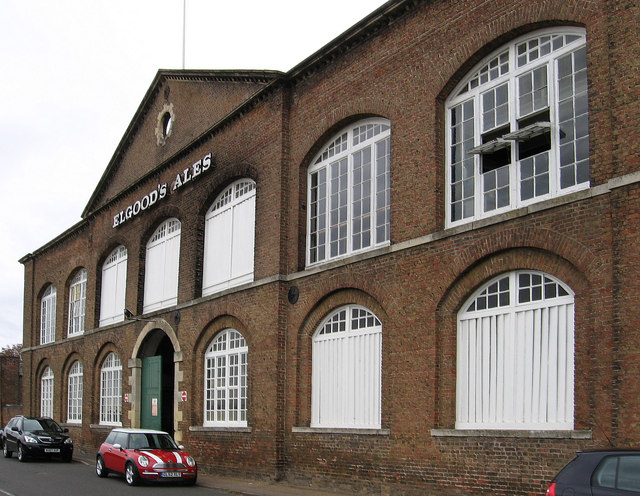
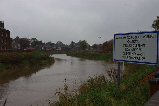
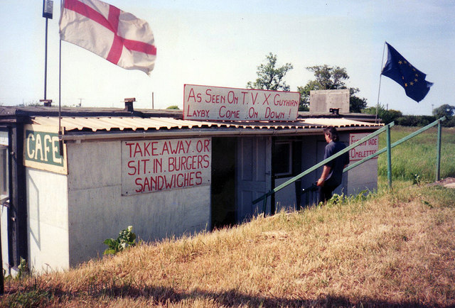
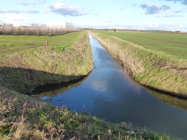
South Bridge Field Images

Images are sourced within 2km of 52.644377/0.14539608 or Grid Reference TF4507. Thanks to Geograph Open Source API. All images are credited.

Wisbech: Elgood and Sons Brewery (Elgood's Ales)
Travis Perkins on Oldfield Lane, Wisbech From Cromwell Road. Who else remembers when they were Sandell Perkins and Broads?
Travis Perkins on Oldfield Lane, Wisbech
From Cromwell Road. Who else remembers when they were Sandell Perkins and Broads?
Michael Wicks Garage on Elm High Road, Wisbech
The Wisbech Bypass
The Wisbech Bypass
The Wisbech Bypass
The Wisbech Bypass
Cromwell Road, Wisbech
Woodland by Cromwell Road, Wisbech
Broad Drove, Wisbech
Cromwell Road, Wisbech
Woodland by the Wisbech Bypass Next to the layby, and very convenient if you get what I mean.
Woodland by the Wisbech Bypass
Next to the layby, and very convenient if you get what I mean.
71-72 North Brink, Wisbech Pretty much North Brink's last hurrah as the Nene leaves town, these were built c1795 for Denis Herbert and are now Elgood's Brewery. Grade II listed.
71-72 North Brink, Wisbech
Pretty much North Brink's last hurrah as the Nene leaves town, these were built c1795 for Denis Herbert and are now Elgood's Brewery. Grade II listed.
Elm Road Pumping Station This little station is hidden amongst the domestic buildings in Elm Road.
Elm Road Pumping Station
This little station is hidden amongst the domestic buildings in Elm Road.
No more Jet The old Co-op petrol station and former garage prior to changeover to a Morrisons petrol station.
No more Jet
The old Co-op petrol station and former garage prior to changeover to a Morrisons petrol station.
Wisbech - Sibald's Holme on North Brink
Wisbech - Elgood's Brewery For an alternative view, please see <a href="https://www.geograph.org.uk/photo/1504933">TF4509 : Elgood's brewery and River Nene, Wisbech</a>.
Wisbech - Elgood's Brewery
For an alternative view, please see TF4509 : Elgood's brewery and River Nene, Wisbech.
Welcome to Port of Wisbech The sign warns traffic coming down the River Nene of the dangers of Wisbech.
Welcome to Port of Wisbech
The sign warns traffic coming down the River Nene of the dangers of Wisbech.
Guyhirn lay-by café: as seen on TV In the 1990s this place gained regional celebrity, including extensive TV coverage, as the owner welded himself inside in protest at the local council's wish to move his transport café as part of road improvements. Richard Humphrey has suggested that this picture was taken after the café was moved from  Guyhirn and has provided a grid reference which we believe to be reasonably accurate. I am also indebted to Michael Trolove for his help.
Guyhirn lay-by café: as seen on TV
In the 1990s this place gained regional celebrity, including extensive TV coverage, as the owner welded himself inside in protest at the local council's wish to move his transport café as part of road improvements. Richard Humphrey has suggested that this picture was taken after the café was moved from Guyhirn and has provided a grid reference which we believe to be reasonably accurate. I am also indebted to Michael Trolove for his help.
Drain off Redmoor Lane near Begdale The recently built giant cold store on the outskirts of Wisbech blends almost unnoticed into the Fenland sky
Drain off Redmoor Lane near Begdale
The recently built giant cold store on the outskirts of Wisbech blends almost unnoticed into the Fenland sky
Show me another place!

South Bridge Field is located at Grid Ref: TF4507 (Lat: 52.644377, Lng: 0.14539608)

Division: Isle of Ely

Administrative County: Cambridgeshire

District: Fenland

Police Authority: Cambridgeshire

What 3 Words

///hunt.unscathed.following. Near Wisbech, Cambridgeshire

Related Wikis

Begdale

Begdale is a hamlet between Wisbech, Elm and Friday Bridge in Cambridgeshire, England. == References ==

Thomas Clarkson Academy

Thomas Clarkson Academy is a mixed secondary school and sixth form located in Wisbech, Cambridgeshire, England. A new school building has been constructed...

Murder of Una Crown

Una Crown (1926/1927 – 12/13 January 2013) was an 86-year-old widow who was murdered in her bungalow in Wisbech in Cambridgeshire, England, in 2013. Her...

Wisbech East railway station

Wisbech East was a railway station in Wisbech, Cambridgeshire. It was opened in 1848 and became part of the Great Eastern Railway network, providing connections...

Our Lady & Saint Charles Borromeo Church

Our Lady & Saint Charles Borromeo Church is a Roman Catholic church in Wisbech, Cambridgeshire, England. Services are conducted in the English and Polish...

Queens Road Cricket Ground

Queens Road Cricket Ground was a cricket ground in Wisbech, Cambridgeshire. The first recorded match on the ground was in 1851, when Wisbech played an...

Wisbech Electric Theatre

The Wisbech Electric Theatre was a cinema and theatre in Wisbech, England. It was opened in 1910. == History == The proprietor was Mr Cooper J Elm and...

Wisbech Grammar School

Wisbech Grammar School is an 11–18 mixed, Church of England, private day school and sixth form in Wisbech, Isle of Ely, Cambridgeshire, England. Founded...

Nearby Amenities

Located within 500m of 52.644377,0.14539608
New Bridge Crossing
Designation: Road closed by Act of Parliament
Historic Railway: level_crossing
Source: British Railways Act 1981
Lat/Long: 52.6481629/0.1475929
Parking
Lat/Long: 52.6454118/0.148054
Historic Railway: level_crossing
Lat/Long: 52.6452694/0.1453703
Power: pole
Lat/Long: 52.6422944/0.1423475
Power: pole
Lat/Long: 52.6426777/0.1419237
Power: pole
Lat/Long: 52.6432775/0.1411901
Power: pole
Lat/Long: 52.643808/0.140474
Power: pole
Lat/Long: 52.6448431/0.1392831
Power: pole
Lat/Long: 52.6442954/0.1399979
Power: pole
Lat/Long: 52.6443662/0.138925
Barrier: block
Source: survey
Lat/Long: 52.6481666/0.147614
Barrier: block
Source: survey
Lat/Long: 52.6481501/0.1475989
Barrier: bollard
Source: survey
Lat/Long: 52.6481491/0.1476311
Barrier: bollard
Source: survey
Lat/Long: 52.6481664/0.1475833
Power: pole
Lat/Long: 52.6408622/0.1417735
Power: pole
Lat/Long: 52.6413301/0.1437651
Power: pole
Lat/Long: 52.6416784/0.1445375
Power: pole
Lat/Long: 52.6422619/0.1459108
Power: pole
Lat/Long: 52.6425467/0.1476569
Power: pole
Lat/Long: 52.6423701/0.1487043
Power: pole
Lat/Long: 52.642069/0.1506114
Power: pole
Lat/Long: 52.6426793/0.151577
Power: pole
Lat/Long: 52.6433157/0.1525748
Railway: level_crossing
Lat/Long: 52.6419239/0.1427959
The data included in this document is from www.openstreetmap.org. The data is made available under ODbL.

Have you been to South Bridge Field?

Leave your review of South Bridge Field below (or comments, questions and feedback).