South Bockhampton
Settlement in Hampshire
England
South Bockhampton

South Bockhampton is a small village located in the county of Hampshire, England. Situated in the southern part of the county, it lies approximately 5 miles south of the bustling town of Winchester. The village is nestled amidst picturesque countryside, with rolling hills and lush greenery surrounding it.
The population of South Bockhampton is relatively small, with around 200 residents calling it home. The village exudes a peaceful and tranquil atmosphere, making it an ideal place for those seeking a quiet and rural lifestyle. The community in South Bockhampton is close-knit, with residents often participating in local events and activities together.
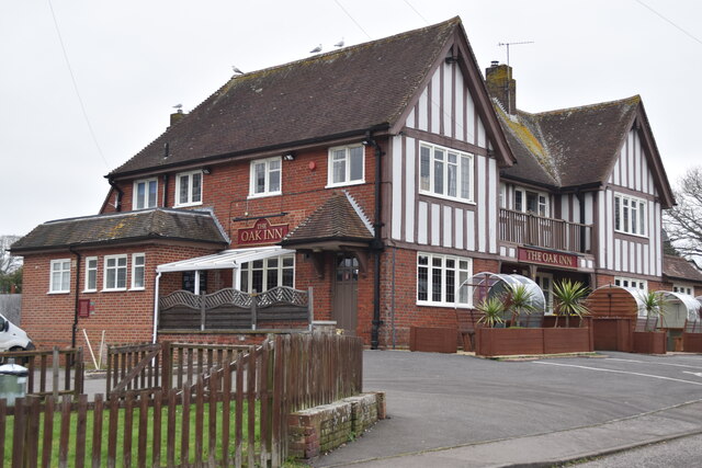
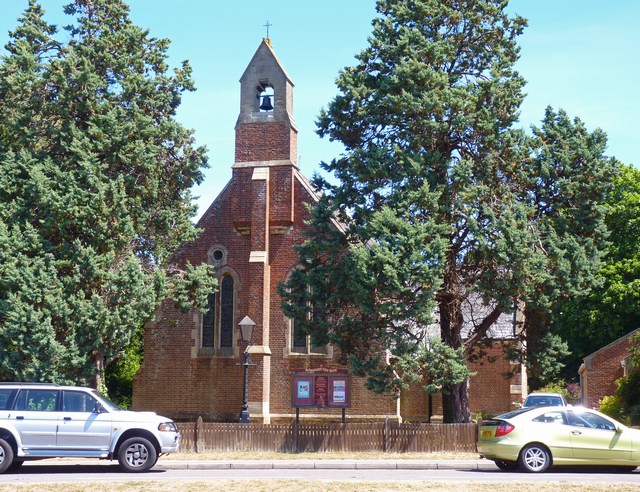
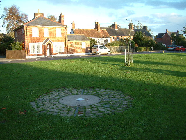
One of the notable features of South Bockhampton is its charming village center, which boasts a collection of traditional cottages and historic buildings. The village also houses a quaint pub, which serves as a social hub for locals and visitors alike. Additionally, there is a village hall that hosts various community events and gatherings throughout the year.
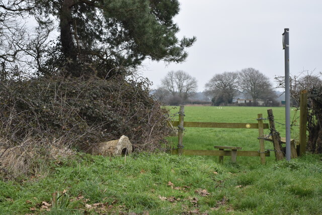
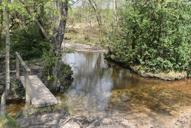
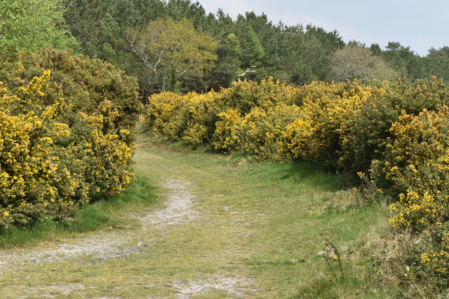
Surrounded by natural beauty, South Bockhampton offers plenty of opportunities for outdoor activities. The village is close to several walking and cycling trails, allowing residents to explore the stunning countryside that Hampshire has to offer. The nearby South Downs National Park is also within reach, providing further options for outdoor enthusiasts.
In terms of amenities, South Bockhampton has limited facilities. However, the nearby town of Winchester provides a wider range of services, including schools, shops, and healthcare facilities. Overall, South Bockhampton is a serene and idyllic village, perfect for those seeking a peaceful rural lifestyle within easy reach of larger towns and cities.
If you have any feedback on the listing, please let us know in the comments section below.
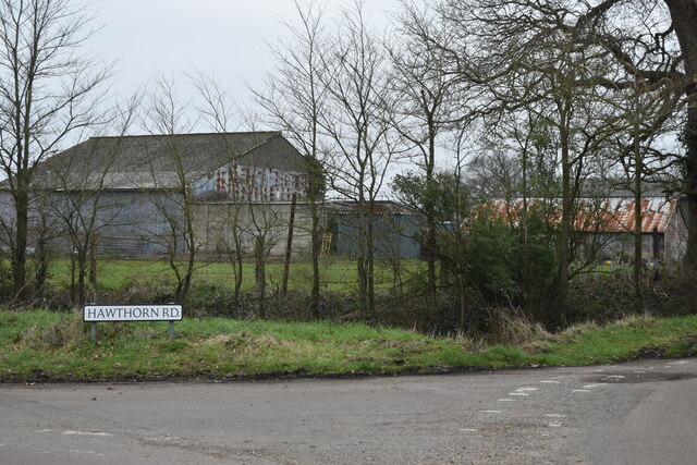
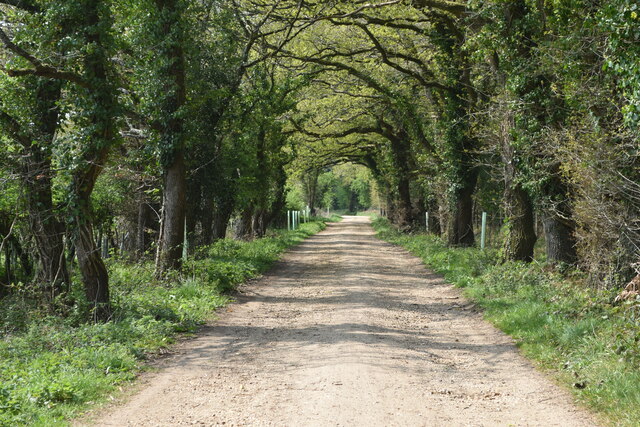
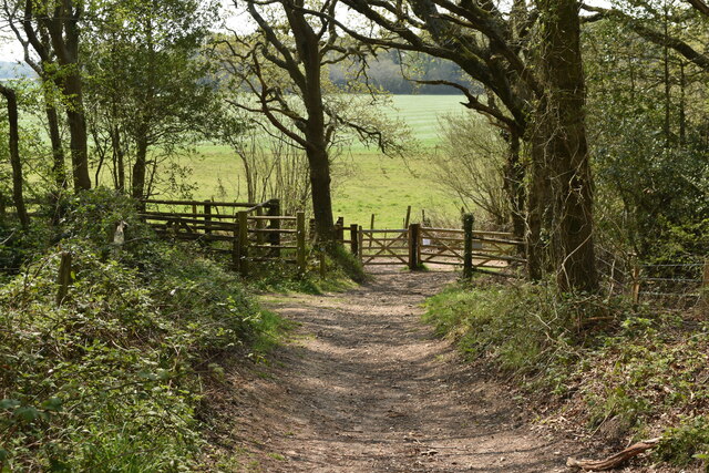
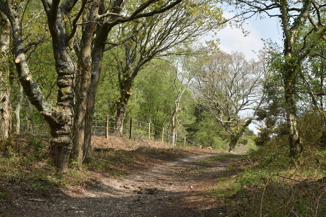
South Bockhampton Images
Images are sourced within 2km of 50.763014/-1.7526294 or Grid Reference SZ1795. Thanks to Geograph Open Source API. All images are credited.


South Bockhampton is located at Grid Ref: SZ1795 (Lat: 50.763014, Lng: -1.7526294)
Unitary Authority: Bournemouth, Christchurch and Poole
Police Authority: Dorset
What 3 Words
///chitchat.whoever.regret. Near Bransgore, Hampshire
Nearby Locations
Related Wikis

1958 BOAC Bristol Britannia crash
G-AOVD was a Bristol Britannia 312 operated by BOAC which crashed near Christchurch, Dorset, in the south of England on Christmas Eve 1958, killing two...

Homefield School
Homefield School (closed Feb. 10, 2005) was a school for boys and girls age four to 18 in Winkton, Dorset, England. The school occupied a large, cream...

Winkton, Dorset
Winkton is a hamlet in the historic county of Hampshire and the ceremonial county of Dorset, England. Together with the village of Burton, it is part of...
St Luke's Church, Burton
St. Luke's Church is a Church of England parish church in Burton, Dorset, England. It was designed by Benjamin Ferrey & Son and opened in 1875. The church...
Burton, Dorset
Burton is a village in the civil parish of Burton and Winkton, administered (since April 2019) as part of the Bournemouth, Christchurch and Poole unitary...
Moorlands College
Moorlands College is an Evangelical Christian training college with a campus based in Sopley (near Christchurch) Dorset, and Regional Centres in Devon...

Burton Common
Burton Common is a 32.1-hectare (79-acre) biological Site of Special Scientific Interest south of Bransgore in Hampshire.This dry heath has over-mature...

RAF Winkton
Royal Air Force Winkton, or more simply RAF Winkton, is a former Royal Air Force Advanced Landing Ground previously in Hampshire but now, due to County...
Nearby Amenities
Located within 500m of 50.763014,-1.7526294Have you been to South Bockhampton?
Leave your review of South Bockhampton below (or comments, questions and feedback).