Sawmills
Settlement in Derbyshire Amber Valley
England
Sawmills
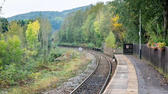
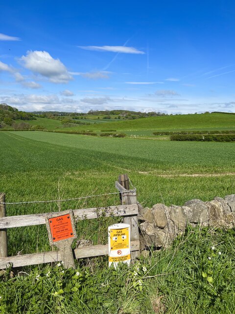
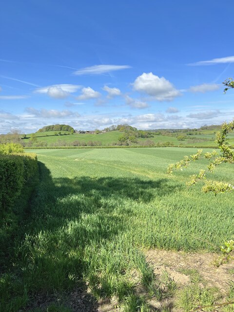
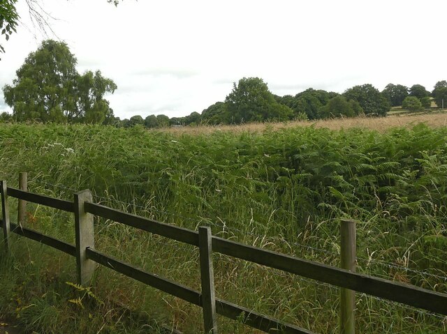
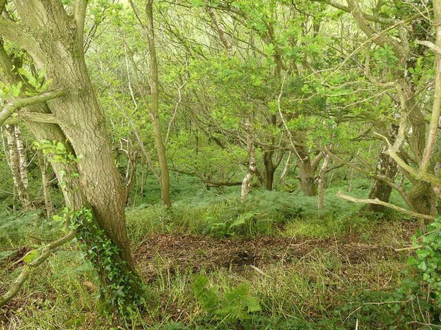
Sawmills is a small village located in the county of Derbyshire, England. Situated in the picturesque Derbyshire Dales, Sawmills is surrounded by rolling hills, green pastures, and charming countryside, making it an idyllic location for those seeking a peaceful and scenic retreat.
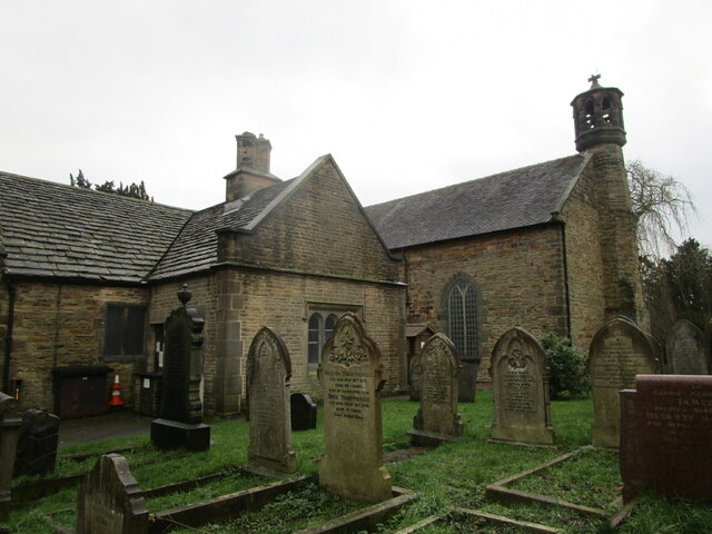
The village gets its name from the historical presence of several sawmills that were once an integral part of the local economy. While these sawmills have long ceased operation, the village still retains its quaint and rustic charm, with remnants of its industrial past scattered throughout.
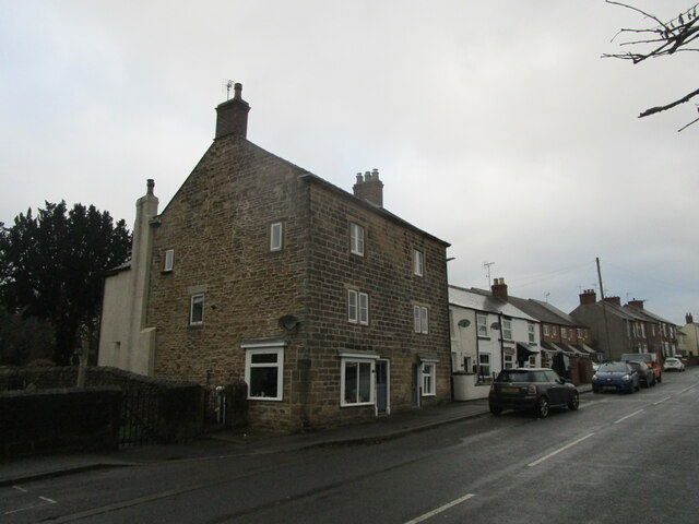
Sawmills boasts a close-knit community, with a population of approximately 500 residents. The village is home to a small but welcoming local pub, where locals and visitors alike can enjoy a pint and engage in friendly conversation. Additionally, there is a village hall that serves as a hub for various community events and activities such as meetings, social gatherings, and recreational classes.
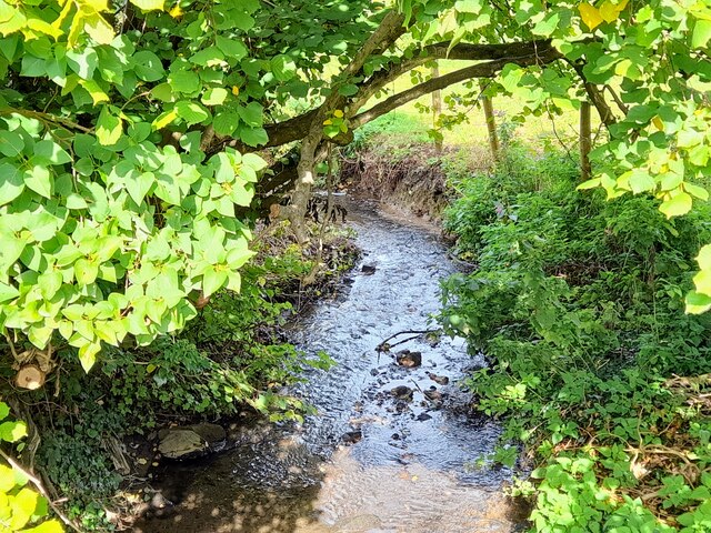
Nature enthusiasts and outdoor lovers will find plenty to explore in the surrounding area. Sawmills is situated near the Peak District National Park, a renowned destination for hiking, cycling, and wildlife spotting. The village also benefits from its proximity to the River Derwent, which offers opportunities for fishing and boating.
While Sawmills may be a peaceful and secluded village, it is conveniently located within a short distance of larger towns such as Matlock and Derby, where residents can access a wider range of amenities including shops, schools, and healthcare facilities.
Overall, Sawmills is a charming village that offers a tranquil lifestyle in the heart of Derbyshire's beautiful countryside, making it an appealing place to call home or to visit for a relaxing getaway.
If you have any feedback on the listing, please let us know in the comments section below.
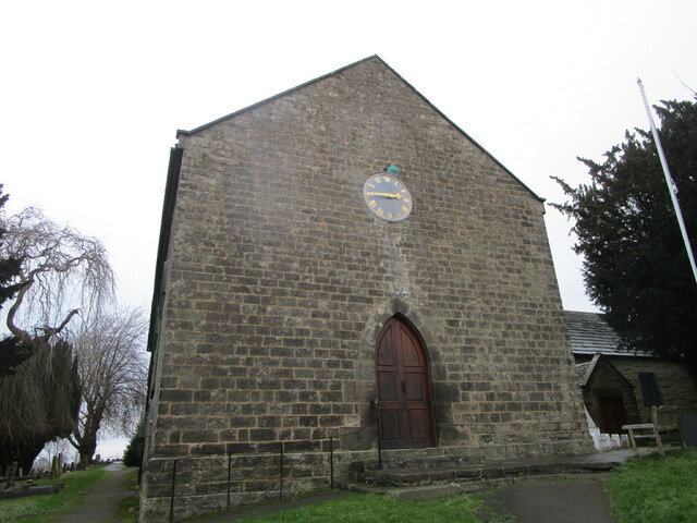
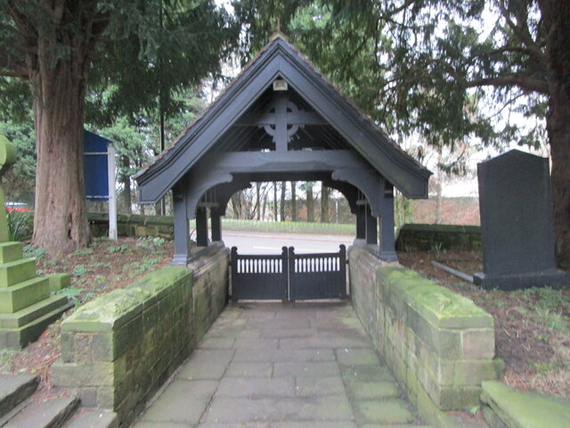
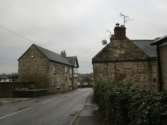
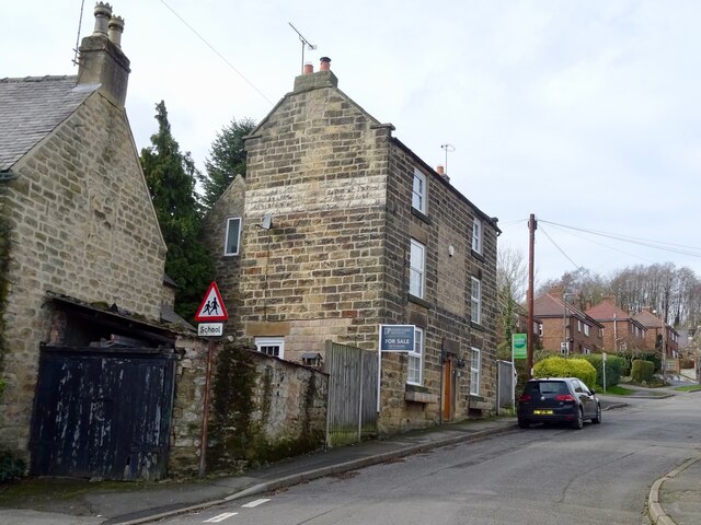
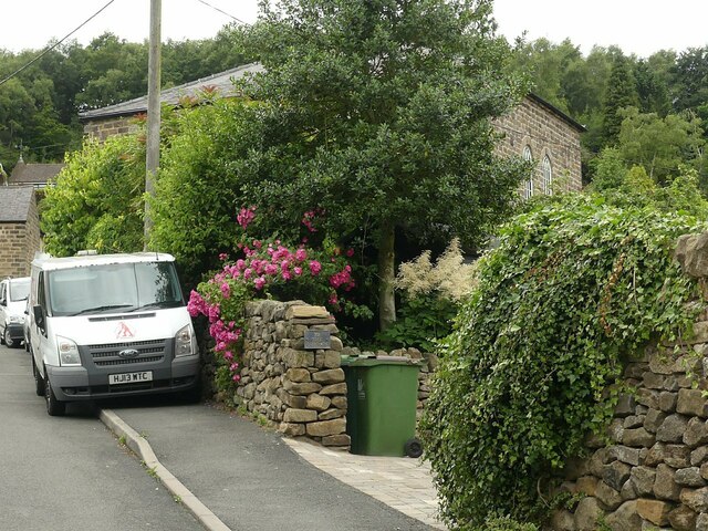
Sawmills Images
Images are sourced within 2km of 53.065926/-1.4625006 or Grid Reference SK3652. Thanks to Geograph Open Source API. All images are credited.
Sawmills is located at Grid Ref: SK3652 (Lat: 53.065926, Lng: -1.4625006)
Administrative County: Derbyshire
District: Amber Valley
Police Authority: Derbyshire
What 3 Words
///propelled.dolphin.origins. Near Heage, Derbyshire
Related Wikis

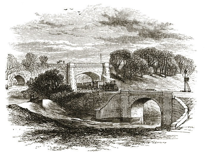
Bull bridge accident
The Bull Bridge accident was a failure of a cast-iron bridge at Bullbridge, near Ambergate in Derbyshire on 26 September 1860. As a goods train was passing...

Bullbridge
Bullbridge is a small village in Derbyshire. The Bull bridge accident, in which a railway bridge failed as a goods train was just passing over it, happened...
Bullbridge Aqueduct
The Bull Bridge Aqueduct was situated on the Cromford Canal, built in 1794, at Bullbridge east of Ambergate along the Amber Valley, where it turned sharply...

Fritchley
Fritchley is a small village in Derbyshire, England, situated to the south of Crich and north of Ambergate. It falls under the civil parish of Crich. To...
Nearby Amenities
Located within 500m of 53.065926,-1.4625006Have you been to Sawmills?
Leave your review of Sawmills below (or comments, questions and feedback).