Saunderton
Settlement in Buckinghamshire
England
Saunderton
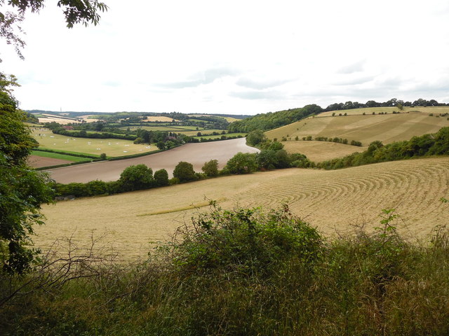
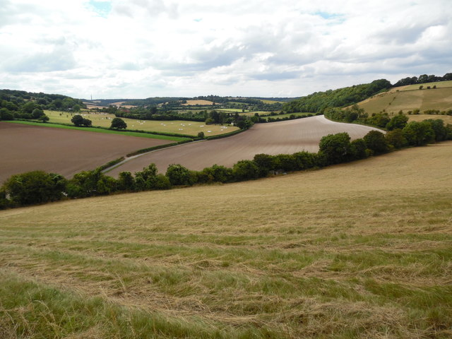
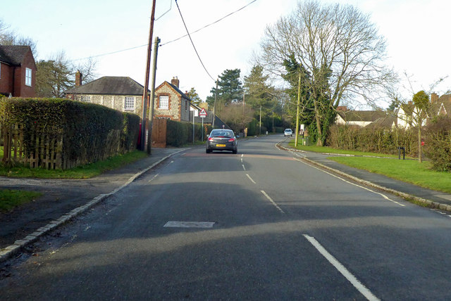
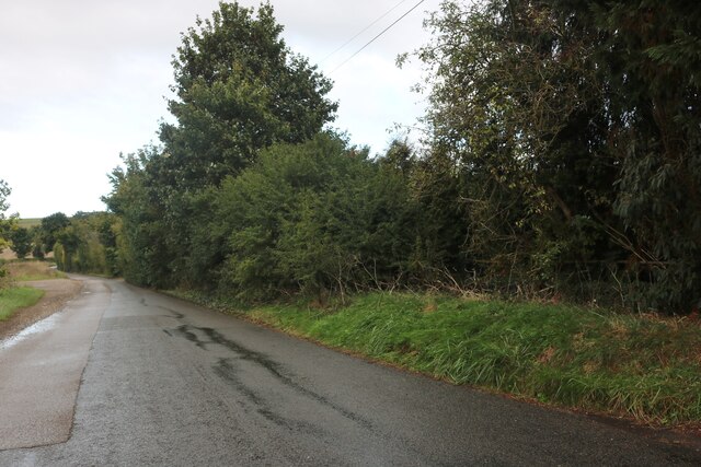
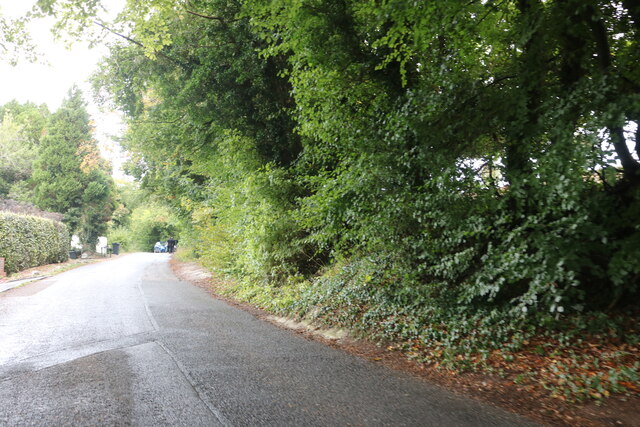
Saunderton is a small village located in the county of Buckinghamshire, England. Situated approximately 35 miles northwest of London, it is part of the Chiltern Hills Area of Outstanding Natural Beauty. The village is nestled in a picturesque valley, surrounded by rolling countryside and beautiful woodlands.
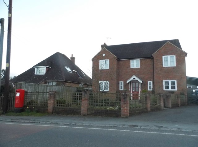
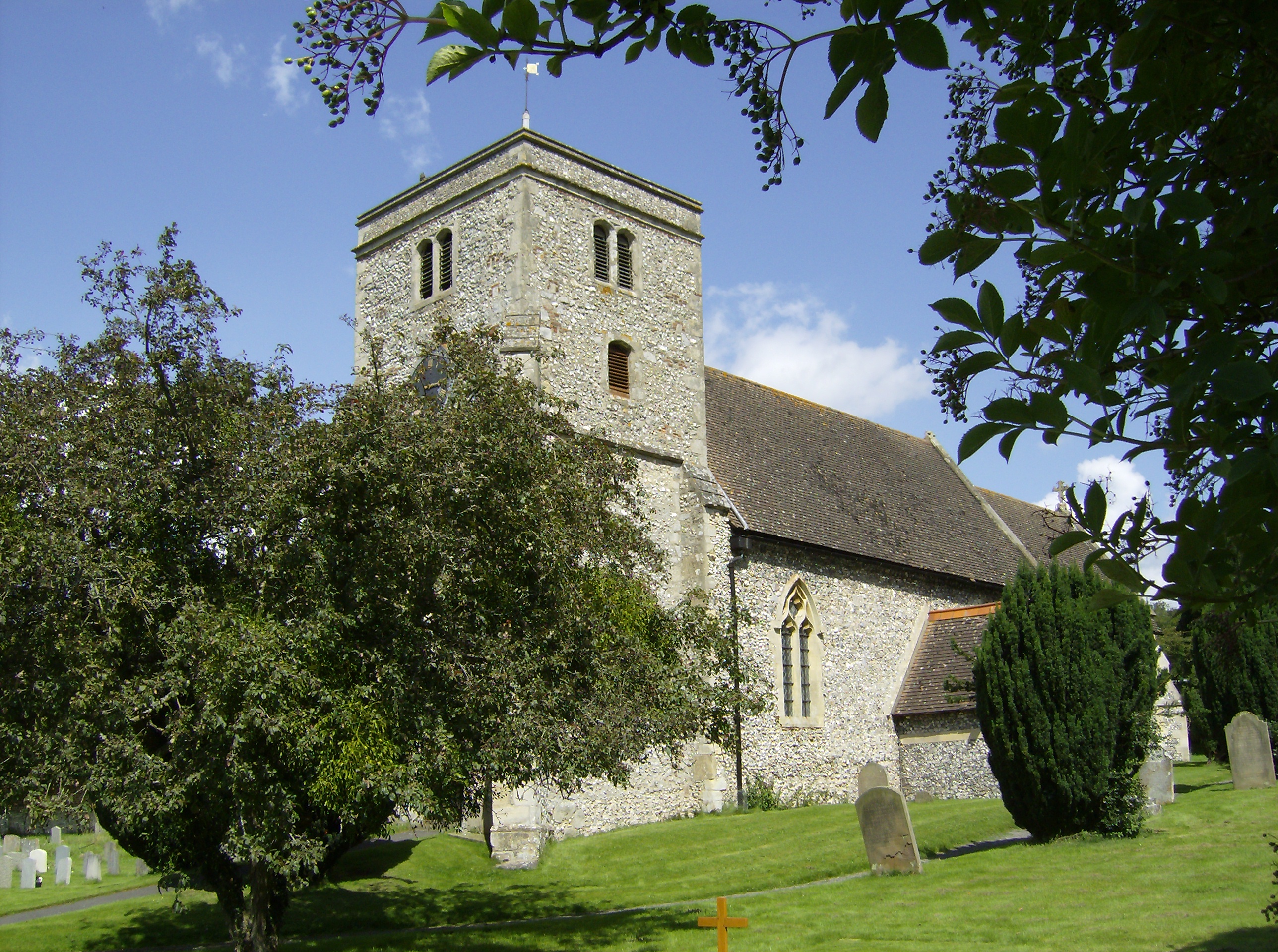
With a population of around 1,200 residents, Saunderton has a close-knit community atmosphere. The village is primarily residential, with a mix of historic cottages and more modern houses. The local architecture reflects the area's rich heritage, with some buildings dating back to the 17th century.
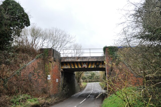
Saunderton is well-connected, with its own train station providing direct links to London Marylebone and other major cities. This makes it an attractive location for commuters looking for a peaceful rural lifestyle within easy reach of the capital.
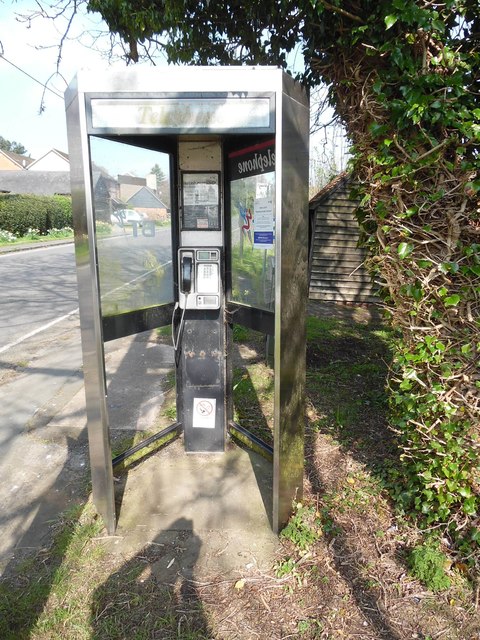
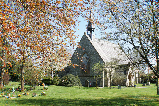
The village offers a range of amenities, including a primary school, a church, and a village hall. There are also several small businesses, such as a convenience store and a post office, serving the local community.
Nature enthusiasts will appreciate the abundance of walking and cycling trails in the surrounding countryside. The nearby Chiltern Hills provide opportunities for outdoor activities, including hiking and birdwatching. Saunderton is also within easy reach of several National Trust properties, such as Hughenden Manor and West Wycombe Park, offering cultural and historical attractions.
Overall, Saunderton offers a tranquil and idyllic setting, with its rural charm and convenient location, making it a desirable place to live for those seeking a balance between countryside living and urban accessibility.
If you have any feedback on the listing, please let us know in the comments section below.
Saunderton Images
Images are sourced within 2km of 51.675212/-0.82395332 or Grid Reference SU8198. Thanks to Geograph Open Source API. All images are credited.


Saunderton is located at Grid Ref: SU8198 (Lat: 51.675212, Lng: -0.82395332)
Unitary Authority: Buckinghamshire
Police Authority: Thames Valley
What 3 Words
///resides.flop.equivocal. Near Stokenchurch, Buckinghamshire
Nearby Locations
Related Wikis
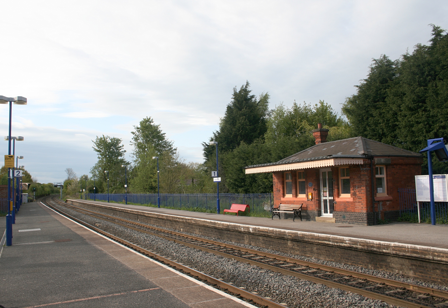
Saunderton railway station
Saunderton railway station is a railway station on the A4010 road between High Wycombe and Princes Risborough, in Buckinghamshire, England. It is located...

Bradenham Woods, Park Wood and The Coppice
Bradenham Woods, Park Wood and The Coppice is a 129.1-hectare (319-acre) biological Site of Special Scientific Interest in Bradenham in Buckinghamshire...
Bradenham, Buckinghamshire
Bradenham is a village and civil parish in Buckinghamshire, England. It is near Saunderton, off the main A4010 road between Princes Risborough and High...

RAF High Wycombe
Royal Air Force High Wycombe or more simply RAF High Wycombe is a Royal Air Force station, situated in the village of Walters Ash, near High Wycombe in...
Nearby Amenities
Located within 500m of 51.675212,-0.82395332Have you been to Saunderton?
Leave your review of Saunderton below (or comments, questions and feedback).