Saxlingham Thorpe

Settlement in Norfolk South Norfolk

England

Saxlingham Thorpe

Flordon: 'Tas Valley View'
Flordon: 'Tas Valley View' Credit: Michael Garlick

Saxlingham Thorpe is a small village located in the county of Norfolk, England. Situated approximately 10 miles south of Norwich, the village is nestled amidst picturesque countryside and offers a tranquil and idyllic setting.

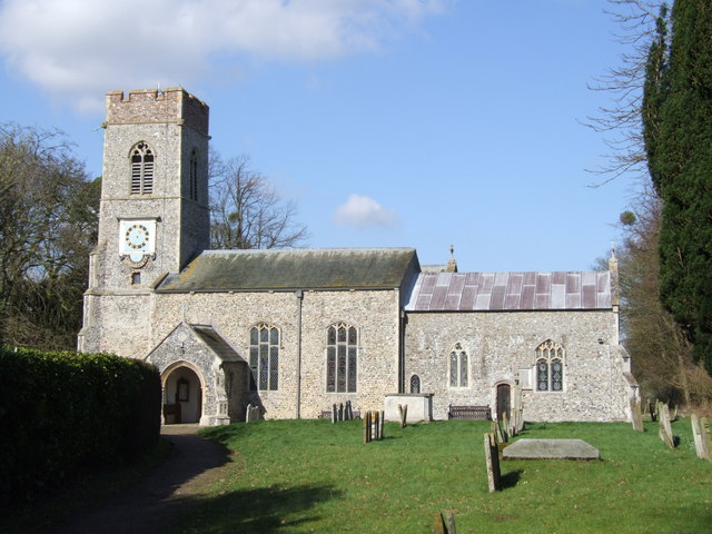
The village is known for its rich history, with evidence of human settlement dating back to the Roman era. Saxlingham Thorpe boasts several notable historic buildings, including St. Mary's Church, which dates back to the 14th century. The church is a fine example of medieval architecture, featuring a beautiful tower and intricate stained glass windows.

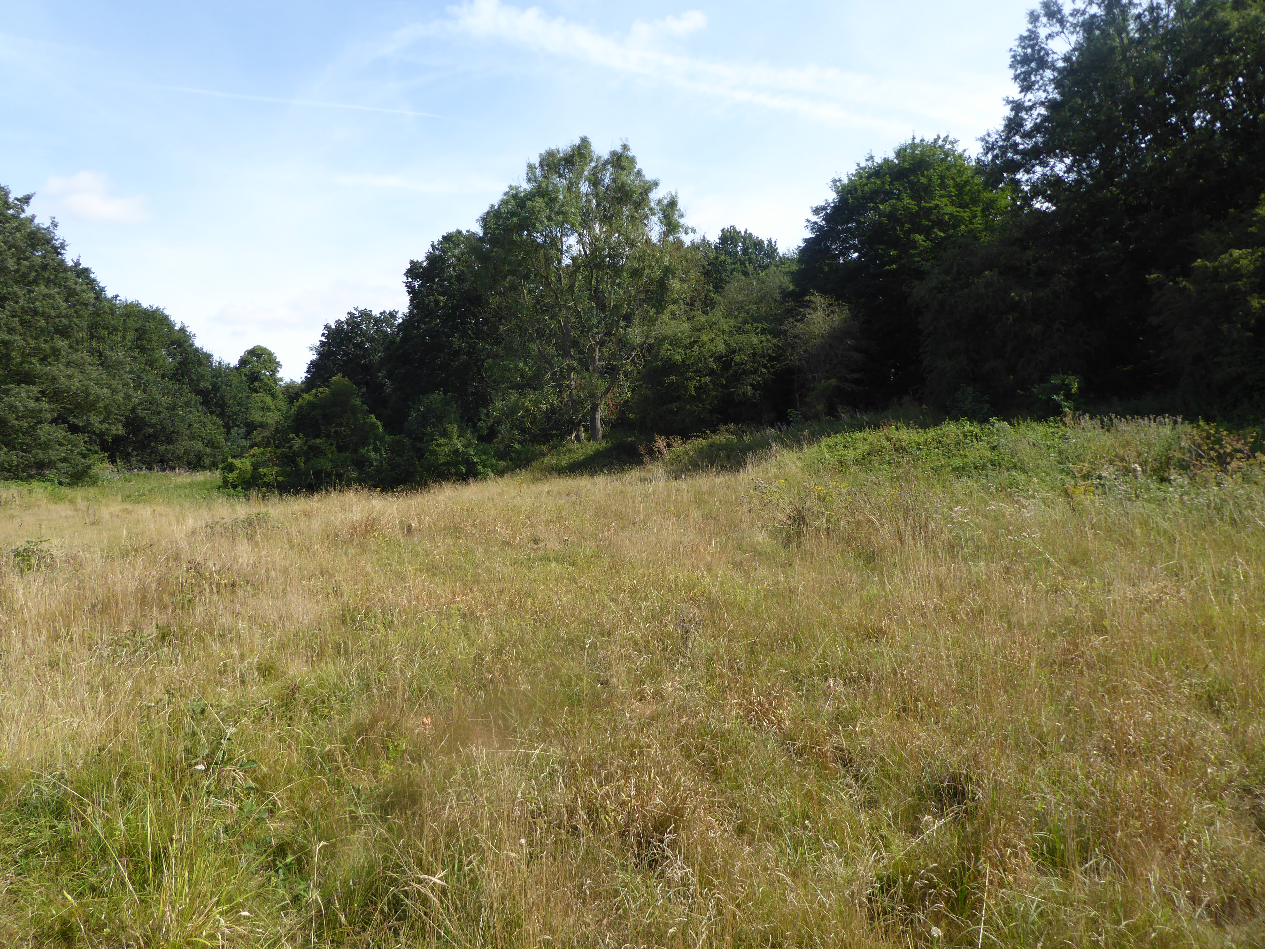
The village is also home to a number of traditional thatched cottages, adding to its charm and character. The surrounding countryside offers ample opportunities for scenic walks and exploration, with rolling fields and meandering footpaths.

Despite its small size, Saxlingham Thorpe has a strong sense of community. The village hosts various social events throughout the year, including a summer fete and a Christmas fair. There is also a village hall that serves as a hub for community activities and gatherings.

Amenities in Saxlingham Thorpe include a local pub, The Countryman, which offers a warm welcome to locals and visitors alike. The village is well-connected to nearby towns and cities, with regular bus services and easy access to major roads.

Overall, Saxlingham Thorpe is a charming and historic village that offers a peaceful escape from the hustle and bustle of city life. Its rich history, picturesque surroundings, and strong sense of community make it a delightful place to visit or call home.

If you have any feedback on the listing, please let us know in the comments section below.

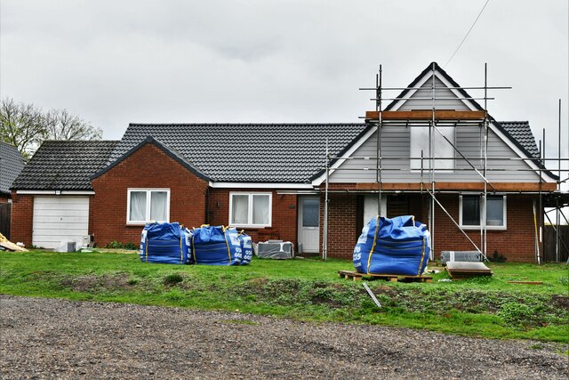
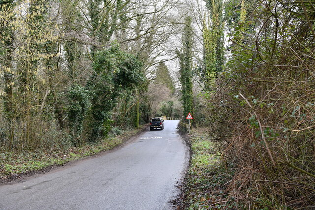
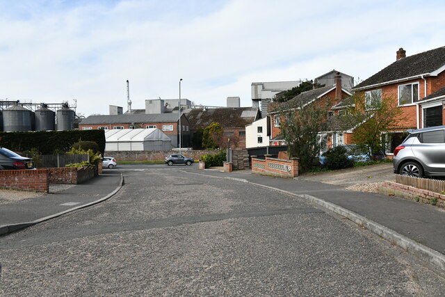
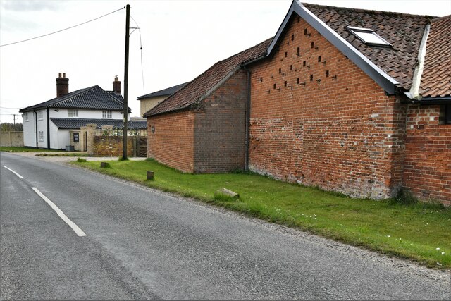
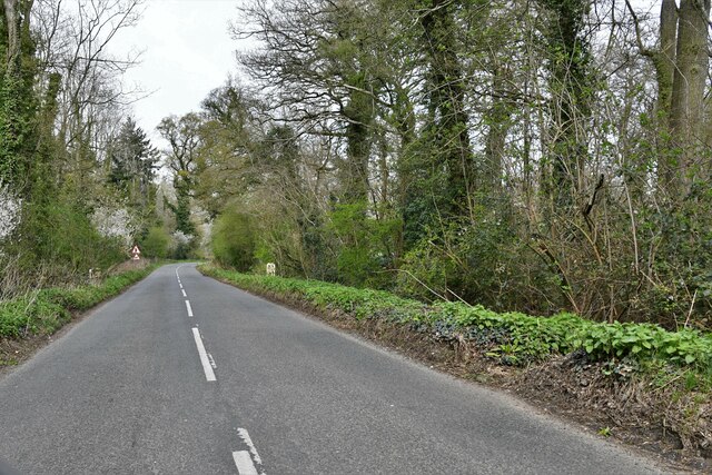
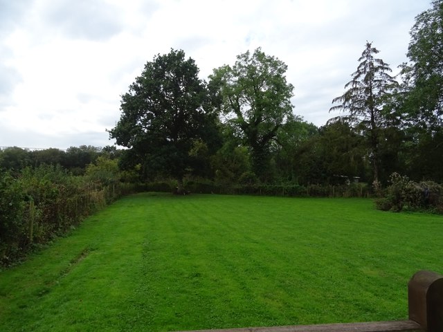
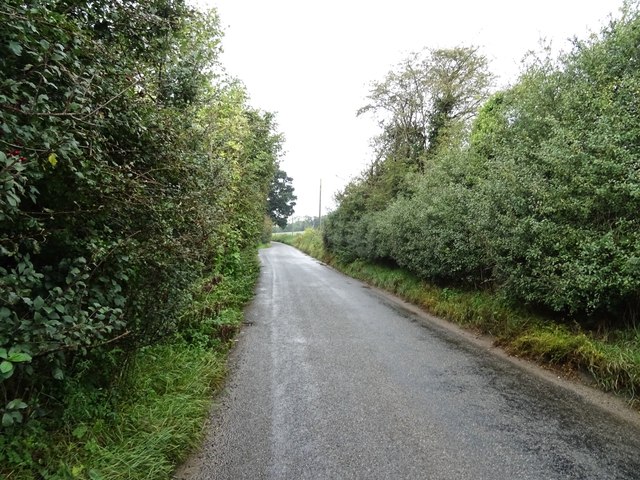
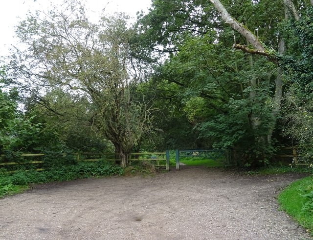
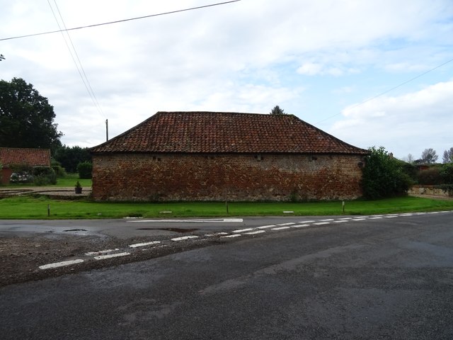
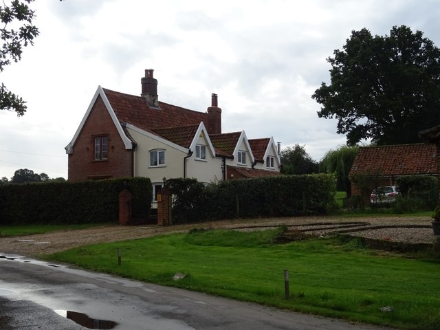
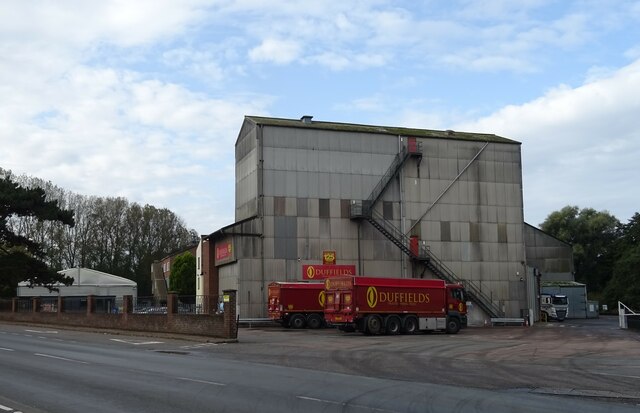
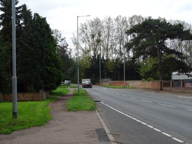
Saxlingham Thorpe Images

Images are sourced within 2km of 52.531768/1.258748 or Grid Reference TM2197. Thanks to Geograph Open Source API. All images are credited.

Flordon: 'Tas Valley View'
Lower Tasburgh: Looking towards a bridge over the river
Saxlingham Thorpe: Duffields Animal Feeds seen from Kingsway
Saxlingham Nethergate: Park Farm with the white painted Park Farm House
Saxlingham Nethergate: Norwich Road
Park Farm House
Park Farm House
Norwich Road approaching Park Farm
House on Norwich Road
Entering Saxlingham Nethergate On Norwich Road.
Entering Saxlingham Nethergate
On Norwich Road.
Norwich Road
Norwich Road
Shotesham Lane, Saxlingham Nethergate
Grassland off Cargate Lane
Cargate Lane Towards Saxlingham Thorpe.
Cargate Lane
Towards Saxlingham Thorpe.
Car park and footpath, Smockmill Common
Barn, Saxlingham Thorpe
Lodge Farm
Lodge Farm
Duffields Mill, Saxlingham Thorpe
A140, Saxlingham Thorpe
Show me another place!

Saxlingham Thorpe is located at Grid Ref: TM2197 (Lat: 52.531768, Lng: 1.258748)

Administrative County: Norfolk

District: South Norfolk

Police Authority: Norfolk

What 3 Words

///concerned.thinking.zones. Near Mulbarton, Norfolk

Nearby Locations

Foxhole Saxlingham Thorpe

Related Wikis

Newton Flotman

Newton Flotman, meaning new farm or settlement, is a village and civil parish in the English county of Norfolk, lies about 7 miles (11 km) south of Norwich...

Smockmill Common

Smockmill Common is a 10-hectare (25-acre) Local Nature Reserve on the eastern outskirts of Newton Flotman in Norfolk. It is owned by the Shotesham Estate...

A140 road

The A140 is an 'A-class' road in Norfolk and Suffolk, East Anglia, England partly following the route of the Roman Pye Road. It runs from the A14 near...

Saxlingham Nethergate

Saxlingham Nethergate is a village and civil parish in Norfolk, England, about 9.5 miles (15 km) south of Norwich. The civil parish has an area of 3.3...

Flordon railway station

Flordon railway station served the village of Flordon, Norfolk. It was opened in 1849, when the line from London Liverpool Street to Norwich Victoria was...

Tasburgh

Tasburgh ( TAYZ-bər-ə) is a civil parish and a village in the south of Norfolk, England, located approximately 8 miles south of Norwich. It lies on the...

Flordon

Flordon is a village and civil parish in the English county of Norfolk. The village is located 5.4 miles (8.7 km) south-east of Wymondham and 7.6 miles...

Flordon Common

Flordon Common is a 9.9-hectare (24-acre) biological Site of Special Scientific Interest south-east of Wymondham in Norfolk. It is a registered common...

Nearby Amenities

Located within 500m of 52.531768,1.258748
Bus Stop
Cargate Lane, adj
Naptan AtcoCode: 2900N0710
Naptan Bearing: S
Naptan BusStopType: CUS
Naptan CommonName: Cargate Lane
Naptan Indicator: adj
Naptan Locality: Newton Flotman
Naptan NaptanCode: nfodgtmt
Naptan PlusbusZoneRef: NRCH
Naptan Street: Ipswich Road
Naptan Verified: no
Source: naptan_import
Lat/Long: 52.5352581/1.2612236
Allan Avenue, adj
Naptan AtcoCode: 2900N078
Naptan Bearing: NE
Naptan BusStopType: CUS
Naptan CommonName: Allan Avenue
Naptan Indicator: adj
Naptan Locality: Newton Flotman
Naptan NaptanCode: nfodgtpw
Naptan Street: Flordon Road
Naptan Verified: no
Source: naptan_import
Lat/Long: 52.5358696/1.2579651
Allan Avenue, opp
Naptan AtcoCode: 2900N079
Naptan Bearing: SW
Naptan BusStopType: CUS
Naptan CommonName: Allan Avenue
Naptan Indicator: opp
Naptan Locality: Newton Flotman
Naptan NaptanCode: nfodgtwa
Naptan Street: Flordon Road
Naptan Verified: no
Source: naptan_import
Lat/Long: 52.5357627/1.2579276
Bus Stop
Mill Tavern, adj
Alt Name: Ipswich Road World's End
Bench: no
Naptan AltCommonName: Ipswich Road World's End
Naptan AtcoCode: 2900S061
Naptan Bearing: S
Naptan CommonName: Mill Tavern
Naptan Indicator: adj
Naptan Landmark: Mill Tavern Public House
Naptan Locality: Saxlingham Thorpe
Naptan NaptanCode: nfodtajd
Naptan Street: Ipswich Road
Naptan Verified: no
Shelter: no
Source: naptan_import
Tactile Paving: yes
Lat/Long: 52.5313226/1.2602077
Bus Stop
Mill Tavern, opp
Bench: no
Naptan AtcoCode: 2900S066
Naptan Bearing: N
Naptan CommonName: Mill Tavern
Naptan Indicator: opp
Naptan Landmark: Tasburgh Low Road
Naptan Locality: Saxlingham Thorpe
Naptan NaptanCode: nfodtamd
Naptan Street: Ipswich Road
Naptan Verified: no
Shelter: no
Source: naptan_import
Tactile Paving: yes
Lat/Long: 52.5311602/1.2599374
Barrier: bollard
Bicycle: yes
Bollard: fixed
Foot: yes
Lat/Long: 52.534427/1.2608857
West End
Place: neighbourhood
Lat/Long: 52.530694/1.2628886
Power: pole
Lat/Long: 52.5350467/1.2541173
Saxlingham Thorpe
Place: hamlet
Lat/Long: 52.5301383/1.2654447
Kerb: lowered
Lat/Long: 52.5347513/1.2604864
Give Way
Lat/Long: 52.5322968/1.2599836
Give Way
Lat/Long: 52.5314321/1.2600441
Give Way
Lat/Long: 52.5317761/1.2587738
Give Way
Lat/Long: 52.5356145/1.2607358
Give Way
Lat/Long: 52.5356069/1.2610178
Addr Housename: The Flints
Addr Street: Alan Avenue
Addr Village: Newton Flotman
Lat/Long: 52.5360882/1.2580363
Addr Housename: Holland House
Addr Street: Flordon Road
Addr Village: Newton Flotman
Lat/Long: 52.5362269/1.2582723
Give Way
Lat/Long: 52.531103/1.2601796
Turning Circle
Lat/Long: 52.5299816/1.2582162
Turning Circle
Lat/Long: 52.5280439/1.2564647
Generator Method: photovoltaic
Generator Output Electricity: yes
Generator Source: solar
Generator Type: solar_photovoltaic_panel
Location: roof
Power: generator
Lat/Long: 52.5337344/1.2541654
Generator Method: photovoltaic
Generator Output Electricity: yes
Generator Source: solar
Generator Type: solar_photovoltaic_panel
Location: roof
Power: generator
Lat/Long: 52.5336528/1.2533292
Generator Method: photovoltaic
Generator Output Electricity: yes
Generator Source: solar
Generator Type: solar_photovoltaic_panel
Location: roof
Power: generator
Lat/Long: 52.5336757/1.2536564
Generator Method: photovoltaic
Generator Output Electricity: yes
Generator Source: solar
Generator Type: solar_photovoltaic_panel
Location: roof
Power: generator
Lat/Long: 52.5345959/1.2582967
Access: yes
Barrier: bollard
Bollard: fixed
Foot: yes
Material: concrete
Lat/Long: 52.5335272/1.2655252
Saxlingham Thorpe Mills
Historic: yes
Place: locality
Website: https://www.norfolkmills.co.uk/Watermills/saxlingham-thorpe.html
Lat/Long: 52.5339302/1.2597692
Give Way
Lat/Long: 52.5360784/1.2583165
Entrance: yes
Lat/Long: 52.5337209/1.2597895
The data included in this document is from www.openstreetmap.org. The data is made available under ODbL.

Have you been to Saxlingham Thorpe?

Leave your review of Saxlingham Thorpe below (or comments, questions and feedback).