Foxhole
Settlement in Norfolk South Norfolk
England
Foxhole
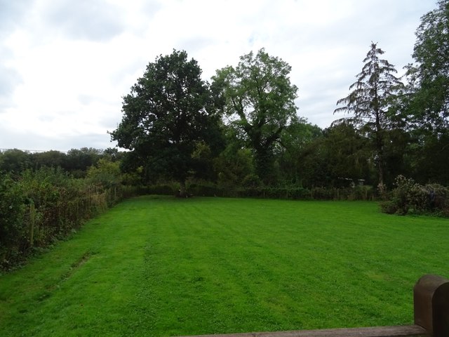
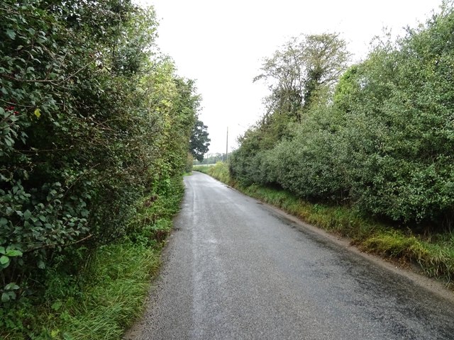
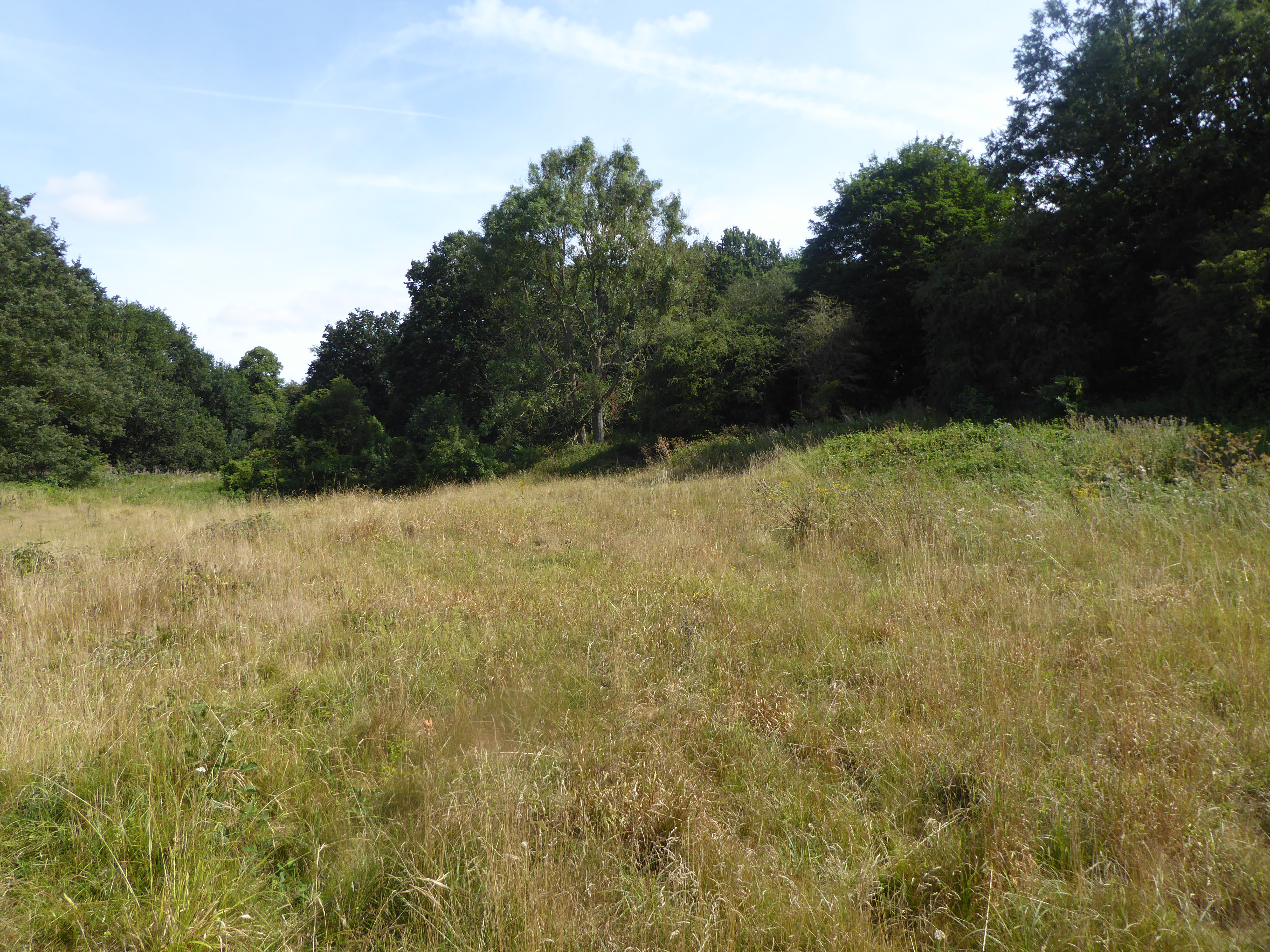
Foxhole is a small village located in the county of Norfolk, England. Situated approximately 8 miles northwest of the city of Norwich, it is a rural community with a population of around 300 residents. The village is nestled in the beautiful Norfolk countryside, surrounded by fields and farmland.
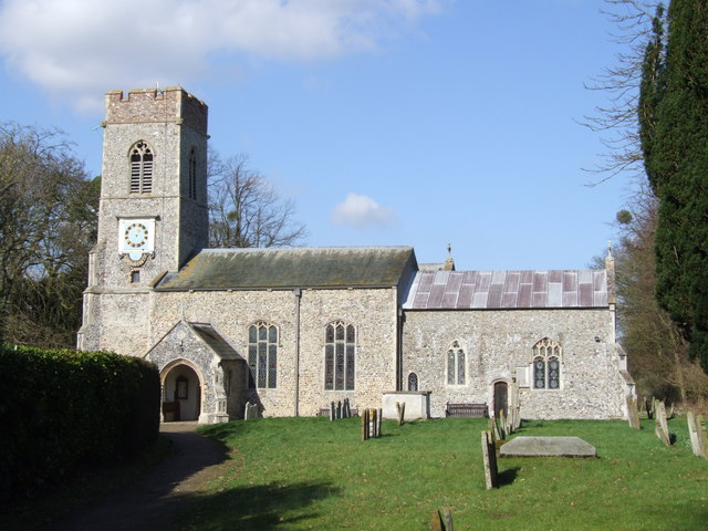
Foxhole is known for its picturesque setting and tranquil atmosphere, offering residents and visitors a peaceful escape from the hustle and bustle of city life. The village itself is characterized by charming cottages, some of which date back to the 17th century, giving it a traditional and timeless feel.
Despite its small size, Foxhole has a strong sense of community, with various local events and activities that bring residents together. The village hosts annual fairs, summer picnics, and other gatherings that provide opportunities for socializing and strengthening community bonds.
In terms of amenities, Foxhole has a local pub that serves as a hub for the village, providing a friendly meeting place for residents and visitors alike. Additionally, there is a village hall that hosts various events and activities throughout the year.
While Foxhole may not have extensive commercial facilities, it benefits from its proximity to larger towns and cities. Norwich, with its wide range of shops, restaurants, and cultural attractions, is easily accessible for those seeking a more urban experience.
Overall, Foxhole offers a peaceful and idyllic lifestyle in a charming rural setting, making it an attractive place for those looking to escape the hustle and bustle of city living.
If you have any feedback on the listing, please let us know in the comments section below.
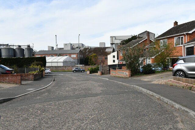
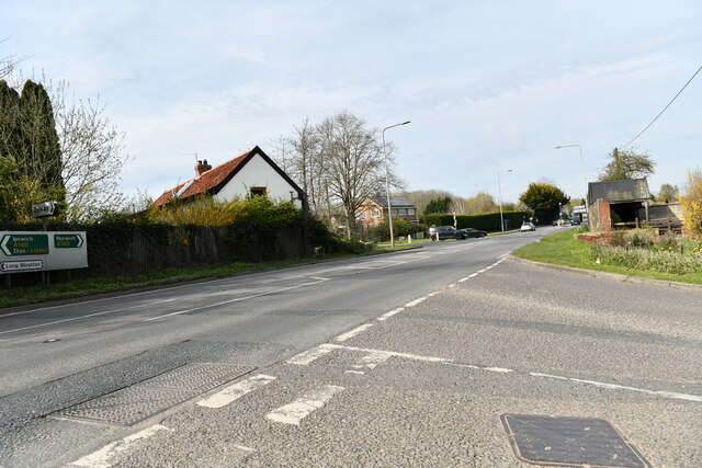
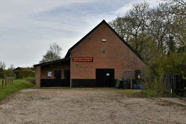
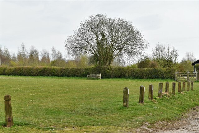
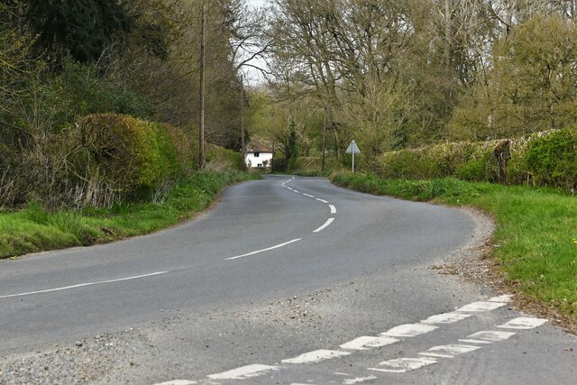
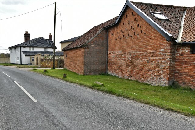
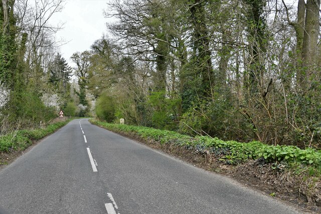
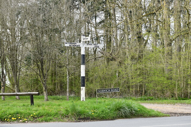
Foxhole Images
Images are sourced within 2km of 52.526966/1.269848 or Grid Reference TM2197. Thanks to Geograph Open Source API. All images are credited.


Foxhole is located at Grid Ref: TM2197 (Lat: 52.526966, Lng: 1.269848)
Administrative County: Norfolk
District: South Norfolk
Police Authority: Norfolk
What 3 Words
///dazzling.legroom.soil. Near Mulbarton, Norfolk
Nearby Locations
Related Wikis

Newton Flotman
Newton Flotman, meaning new farm or settlement, is a village and civil parish in the English county of Norfolk, lies about 7 miles (11 km) south of Norwich...
Saxlingham Nethergate
Saxlingham Nethergate is a village and civil parish in Norfolk, England, about 9.5 miles (15 km) south of Norwich. The civil parish has an area of 3.3...
Smockmill Common
Smockmill Common is a 10-hectare (25-acre) Local Nature Reserve on the eastern outskirts of Newton Flotman in Norfolk. It is owned by the Shotesham Estate...

A140 road
The A140 is an 'A-class' road in Norfolk and Suffolk, East Anglia, England partly following the route of the Roman Pye Road. It runs from the A14 near...

Tasburgh
Tasburgh ( TAYZ-bər-ə) is a civil parish and a village in the south of Norfolk, England, located approximately 8 miles south of Norwich. It lies on the...

Flordon railway station
Flordon railway station served the village of Flordon, Norfolk. It was opened in 1849, when the line from London Liverpool Street to Norwich Victoria was...

Flordon
Flordon is a village and civil parish in the English county of Norfolk. The village is located 5.4 miles (8.7 km) south-east of Wymondham and 7.6 miles...

Morningthorpe
Morningthorpe (sometimes Morning Thorpe) is a village and former civil parish, now in the parish of Morningthorpe and Fritton in the South Norfolk district...
Nearby Amenities
Located within 500m of 52.526966,1.269848Have you been to Foxhole?
Leave your review of Foxhole below (or comments, questions and feedback).