Ladygrove
Settlement in Derbyshire Amber Valley
England
Ladygrove
Ladygrove is a small village located in the county of Derbyshire, in the East Midlands region of England. Situated within the district of North East Derbyshire, Ladygrove is nestled amidst the picturesque countryside, offering residents and visitors a tranquil and scenic environment. The village is located just south of the larger town of Chesterfield, which is approximately 7 miles away.
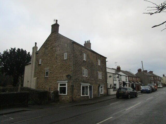
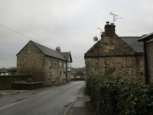
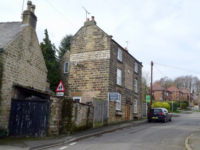
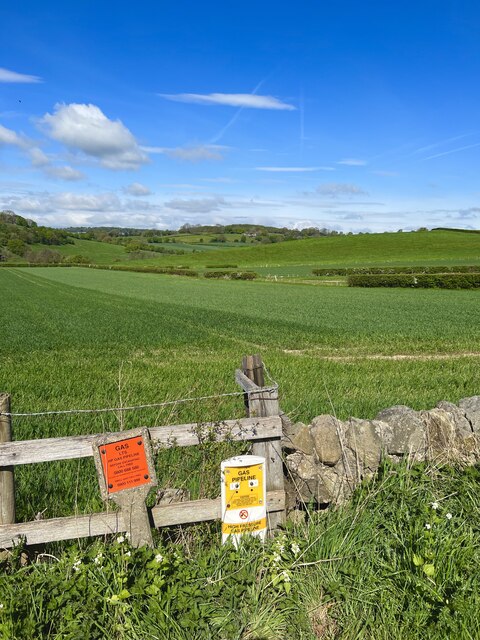
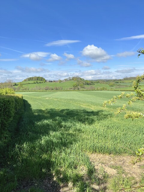
Ladygrove is known for its charming and idyllic setting, with rolling hills, lush green fields, and quaint cottages dotting the landscape. The village is primarily residential, with a close-knit community of friendly and welcoming locals. The population of Ladygrove is relatively small, with around 500 residents.
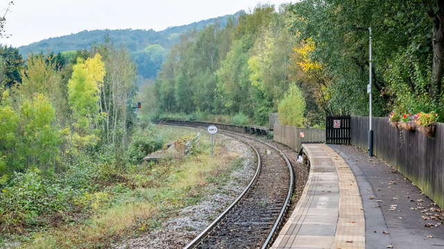
Although Ladygrove is a rural village, it benefits from good transport links, making it easily accessible for both residents and visitors. The A617 road passes through the village, connecting it to nearby towns and cities such as Chesterfield and Mansfield. Additionally, there are regular bus services that provide transportation to the surrounding areas.
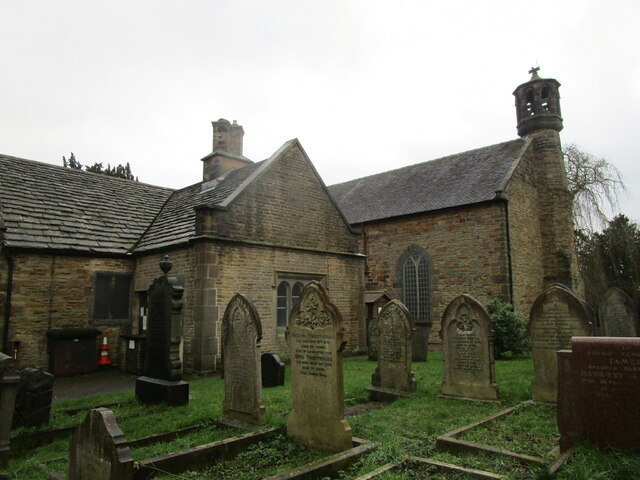
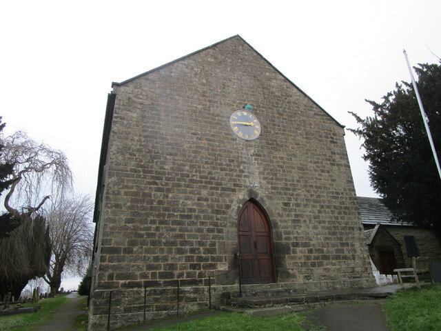
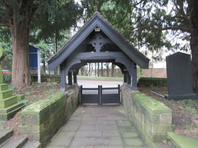
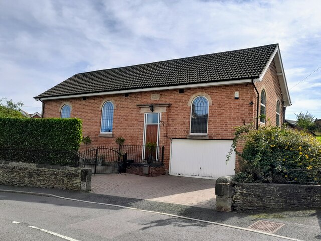
While Ladygrove may not have its own amenities such as shops or schools, residents can find all necessary facilities in nearby towns. The village is, however, home to a charming church, which serves as a focal point for community gatherings and events.
Overall, Ladygrove offers a peaceful and picturesque retreat from the hustle and bustle of city life. With its stunning natural surroundings and close-knit community, the village provides an ideal place for those seeking a slower pace of life in the heart of the English countryside.
If you have any feedback on the listing, please let us know in the comments section below.
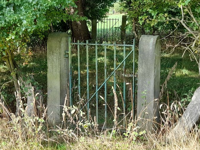
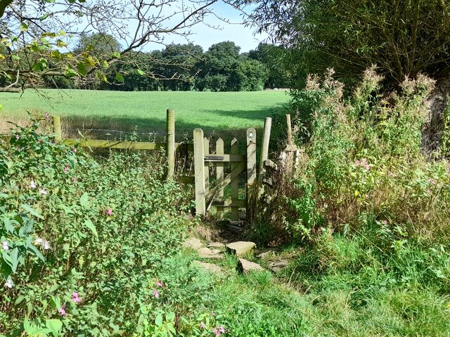
Ladygrove Images
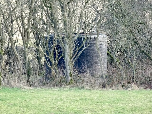
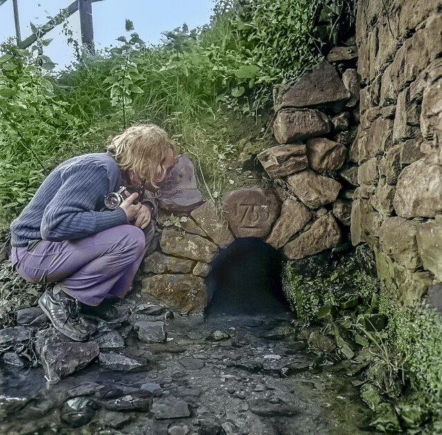
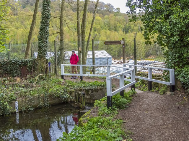
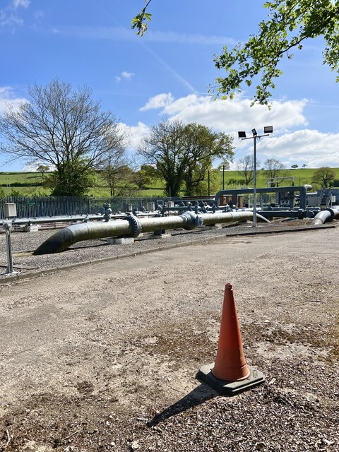
Images are sourced within 2km of 53.064843/-1.4536648 or Grid Reference SK3652. Thanks to Geograph Open Source API. All images are credited.
Ladygrove is located at Grid Ref: SK3652 (Lat: 53.064843, Lng: -1.4536648)
Administrative County: Derbyshire
District: Amber Valley
Police Authority: Derbyshire
What 3 Words
///braved.birdcage.surnames. Near Heage, Derbyshire
Related Wikis

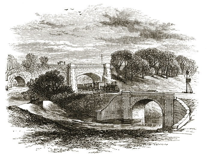
Bull bridge accident
The Bull Bridge accident was a failure of a cast-iron bridge at Bullbridge, near Ambergate in Derbyshire on 26 September 1860. As a goods train was passing...

Bullbridge
Bullbridge is a small village in Derbyshire. The Bull bridge accident, in which a railway bridge failed as a goods train was just passing over it, happened...
Bullbridge Aqueduct
The Bull Bridge Aqueduct was situated on the Cromford Canal, built in 1794, at Bullbridge east of Ambergate along the Amber Valley, where it turned sharply...

Fritchley
Fritchley is a small village in Derbyshire, England, situated to the south of Crich and north of Ambergate. It falls under the civil parish of Crich. To...
Nearby Amenities
Located within 500m of 53.064843,-1.4536648Have you been to Ladygrove?
Leave your review of Ladygrove below (or comments, questions and feedback).