Ladygill

Settlement in Lanarkshire

Scotland

Ladygill

Roberton church Now a private house
Roberton church Credit: Iain Macaulay

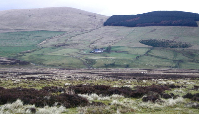
Ladygill is a small village located in the county of Lanarkshire, Scotland. Situated in the central lowlands of the country, the village is nestled amidst the picturesque countryside, offering residents and visitors a tranquil and scenic setting.

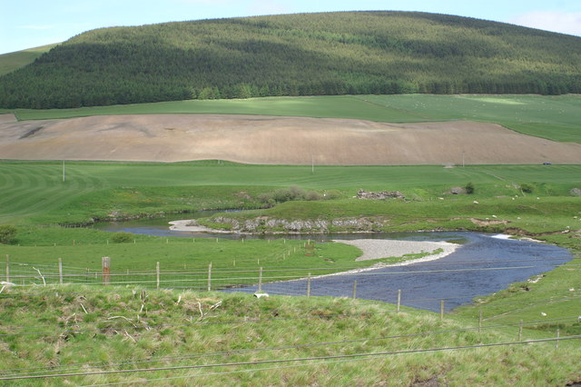
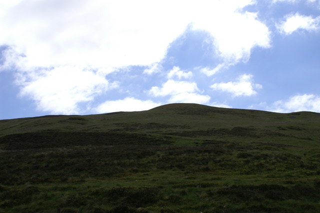
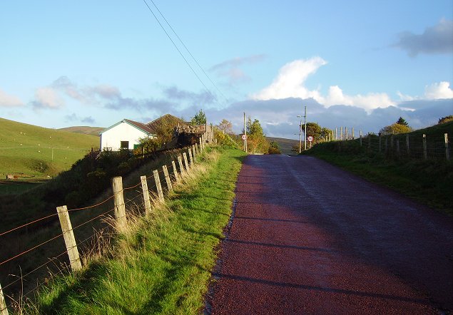
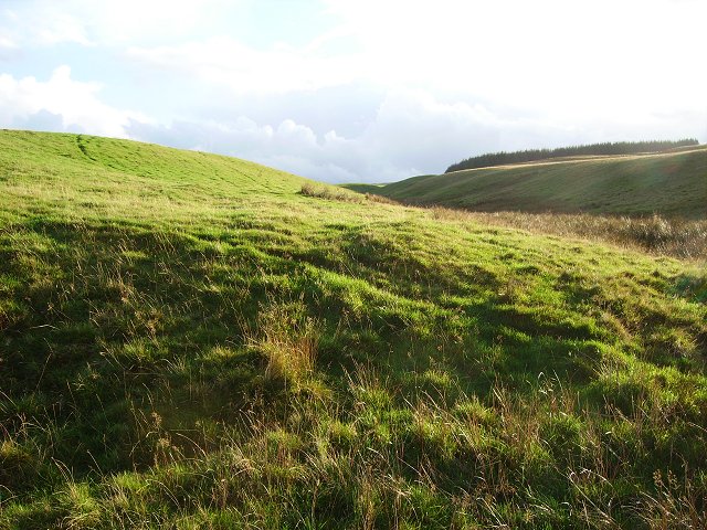
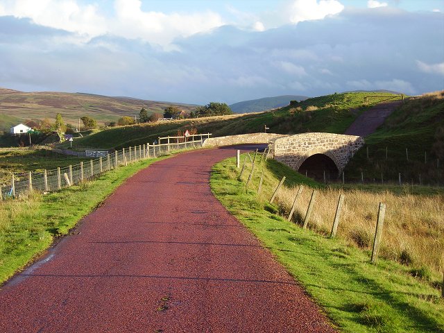
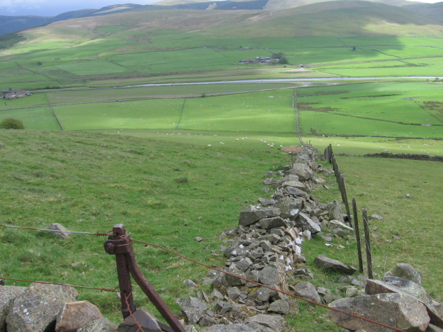
With a population of around 300 residents, Ladygill maintains a tight-knit community feel. The village is primarily residential, consisting of a collection of charming cottages and houses, which reflect the traditional Scottish architecture. The area is known for its well-kept gardens and beautiful landscapes, with lush green fields and rolling hills surrounding the village.

Despite its small size, Ladygill boasts a number of amenities to cater to the needs of its residents. These include a local convenience store, providing essential groceries and daily necessities, as well as a small community center that serves as a hub for social gatherings and events. The village also has a primary school, ensuring that the educational needs of young children are met within the community.

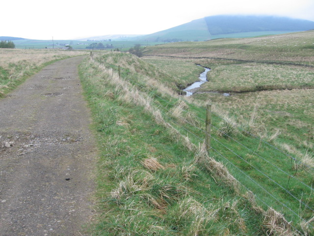
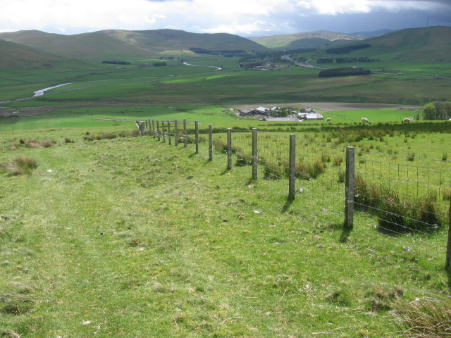
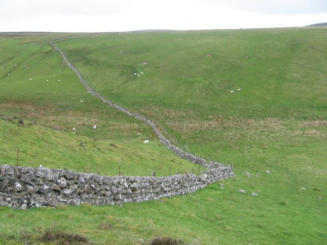
For those seeking outdoor activities, Ladygill is ideally located near several nature reserves and walking trails, offering opportunities for hiking, bird-watching, and enjoying the stunning Scottish countryside. Additionally, the village is within close proximity to larger towns and cities, such as Lanark and Glasgow, providing access to a wider range of amenities, shopping centers, and entertainment options.

Overall, Ladygill offers its residents a peaceful and idyllic place to call home, with its natural beauty and sense of community creating a truly desirable living environment.

If you have any feedback on the listing, please let us know in the comments section below.
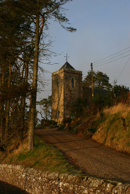
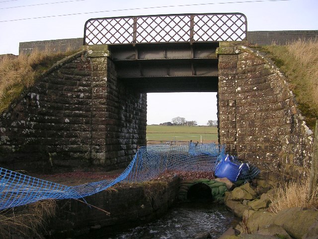
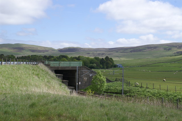
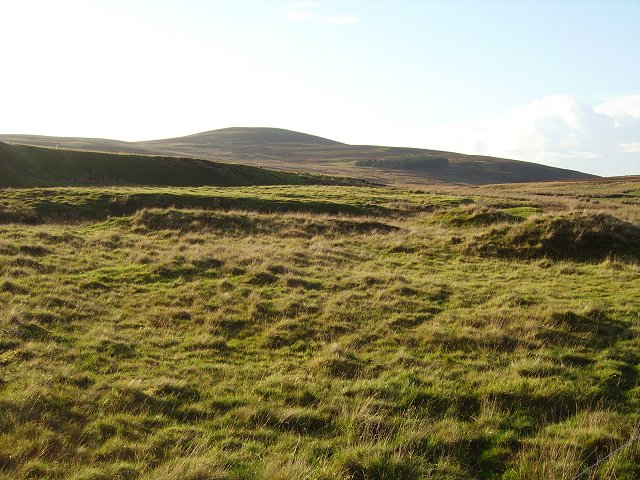
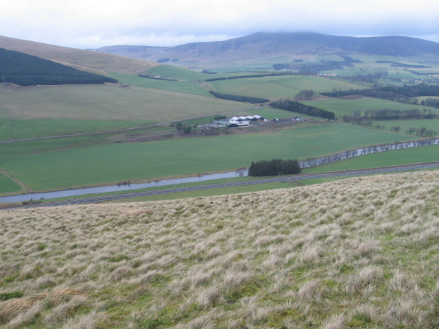
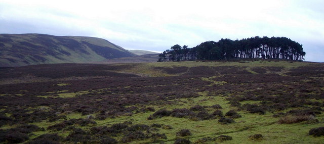
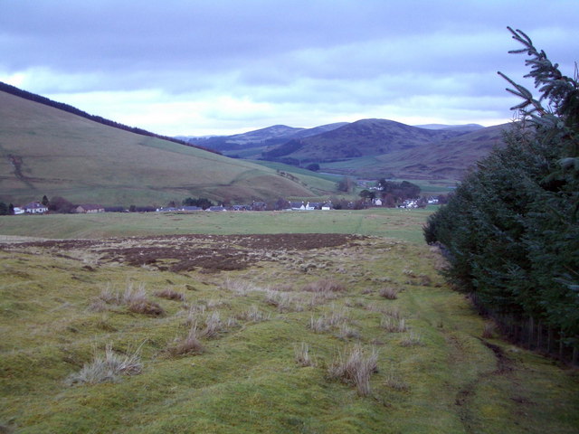
Ladygill Images

Images are sourced within 2km of 55.534554/-3.6781447 or Grid Reference NS9428. Thanks to Geograph Open Source API. All images are credited.

Roberton church Now a private house
Roberton church
Now a private house
Railway Bridge and Wandel Burn
Roberton Approaching the village along the Howgate Road.
Roberton
Approaching the village along the Howgate Road.
Fields, Roberton South of the Howgate Road.
Fields, Roberton
South of the Howgate Road.
Nap Bridge Carries Howgate Road over the Roberton Burn.
Nap Bridge
Carries Howgate Road over the Roberton Burn.
View up the Roberton Burn Grazing for sheep running up to Roberton  Law.
View up the Roberton Burn
Grazing for sheep running up to Roberton Law.
On Devonshaw Hill looking across the Clyde to Tinto
Wood on moorland near Roberton Coniferous wood on moorland near Roberton.  Forside hill in distance to the left of wood.
Wood on moorland near Roberton
Coniferous wood on moorland near Roberton. Forside hill in distance to the left of wood.
Roberton Village of Roberton looking ENE across River Clyde to Startup Hill.  Lower slopes of Dungavel Hill above Roberton on left.
Roberton
Village of Roberton looking ENE across River Clyde to Startup Hill. Lower slopes of Dungavel Hill above Roberton on left.
Dungavel Hill near Roberton Kilnpotlees on lower slopes of Dungavel Hill.
Dungavel Hill near Roberton
Kilnpotlees on lower slopes of Dungavel Hill.
Track beside Wandel Burn
Maidencots from Forside Hill
Below Harten Hill
Below Harten Hill
Little Law
Little Law
From Harten Hill towards the River Clyde
Show me another place!

Ladygill is located at Grid Ref: NS9428 (Lat: 55.534554, Lng: -3.6781447)

Unitary Authority: South Lanarkshire

Police Authority: Lanarkshire

What 3 Words

///thigh.hired.lawfully. Near Douglas, South Lanarkshire

Nearby Locations

Ladygill Roberton

Related Wikis

Nearby Amenities

Located within 500m of 55.534554,-3.6781447
Post Box
Lat/Long: 55.5363682/-3.6756679
Ladygill
Place: hamlet
Lat/Long: 55.5361045/-3.6754847
Power: pole
Lat/Long: 55.5349307/-3.6707844
Power: pole
Lat/Long: 55.5350163/-3.6724312
Power: pole
Lat/Long: 55.5350421/-3.6728299
Power: pole
Lat/Long: 55.5351061/-3.6742059
Power: pole
Lat/Long: 55.5351767/-3.6755196
Power: pole
Lat/Long: 55.5352988/-3.6760336
Power: pole
Lat/Long: 55.534917/-3.677252
Power: pole
Lat/Long: 55.5345303/-3.6784493
Power: pole
Lat/Long: 55.5341101/-3.6790437
Power: pole
Lat/Long: 55.5337247/-3.6793504
Power: pole
Lat/Long: 55.535488/-3.6717828
The data included in this document is from www.openstreetmap.org. The data is made available under ODbL.

Have you been to Ladygill?

Leave your review of Ladygill below (or comments, questions and feedback).