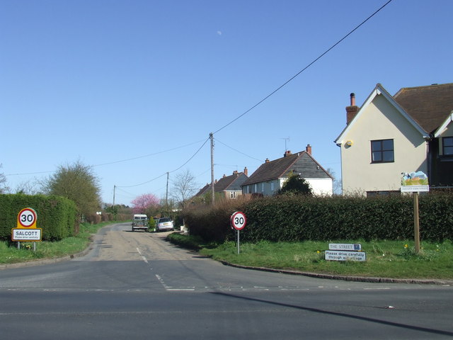
Salcott-cum-Virley

Settlement in Essex Colchester

England

Salcott-cum-Virley

Village Sign This is the village sign for Salcott Cum Virley on the junction of The B1026 Colchester Road and The Street.
Village Sign Credit: terry joyce

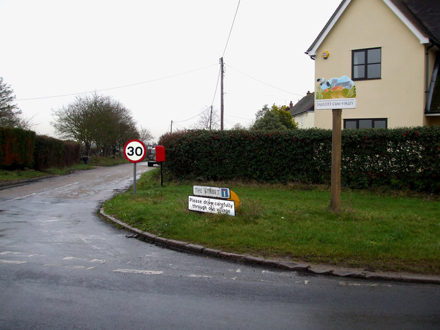
Salcott-cum-Virley is a small village located in the county of Essex, England. Situated approximately 10 miles southeast of the city of Colchester, it lies on the northern bank of the River Blackwater. The village is made up of two parts, Salcott and Virley, which are often referred to collectively.

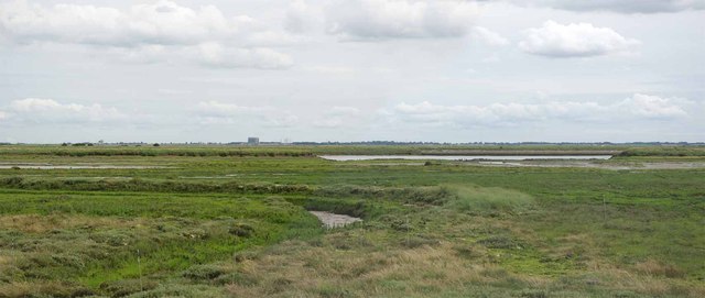
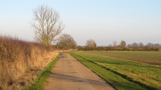
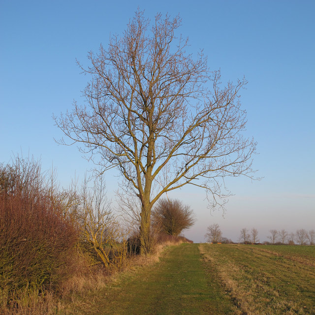
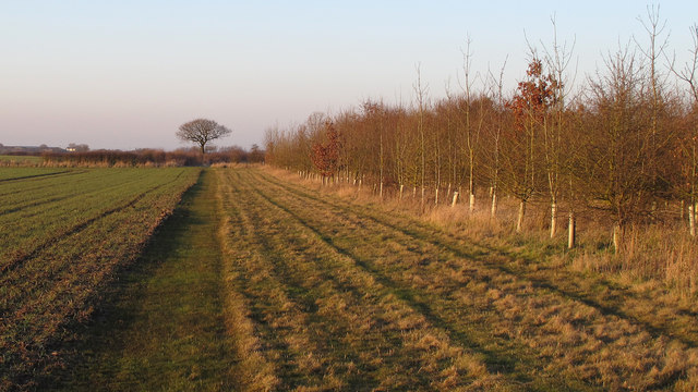
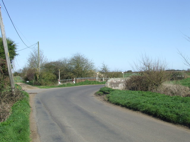
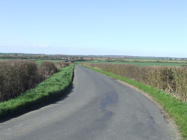
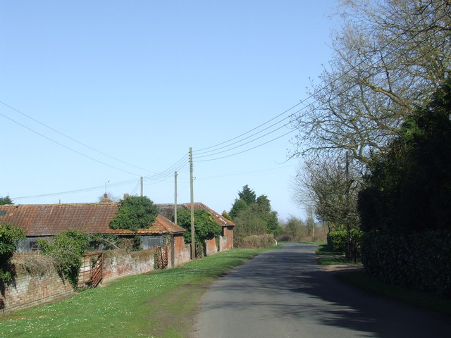
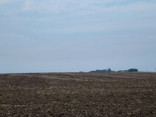
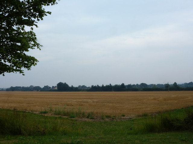
Salcott-cum-Virley is known for its picturesque rural setting, surrounded by farmland and marshes. The area is teeming with wildlife, making it a popular spot for birdwatchers and nature enthusiasts. The nearby Salcott Channel also offers opportunities for boating and fishing.

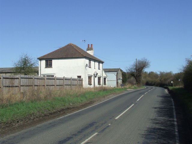
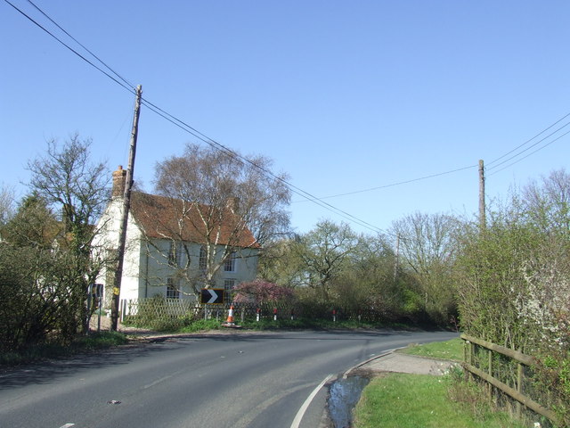
The village itself is characterized by its charming traditional cottages, many of which date back several centuries. The local church, St. Mary's, is a notable landmark, featuring a medieval tower and stained glass windows. The community is tight-knit and friendly, with a strong sense of pride in the village's history and heritage.

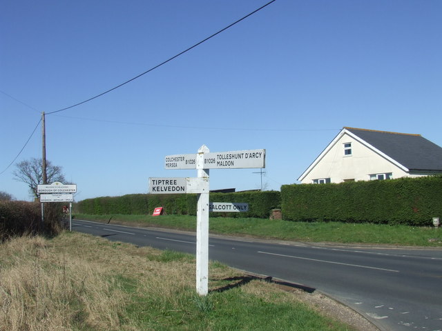
Amenities in Salcott-cum-Virley are limited, reflecting its small size and rural nature. There is a village hall that serves as a hub for community events and gatherings. The nearest amenities, including shops, schools, and healthcare facilities, can be found in the nearby towns of Colchester and Maldon.

Overall, Salcott-cum-Virley offers a peaceful and idyllic lifestyle, away from the hustle and bustle of city living. Its natural beauty and sense of community make it an appealing place for those seeking a quiet and picturesque setting in the heart of the Essex countryside.

If you have any feedback on the listing, please let us know in the comments section below.

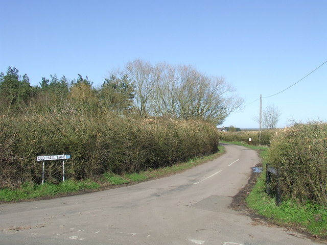
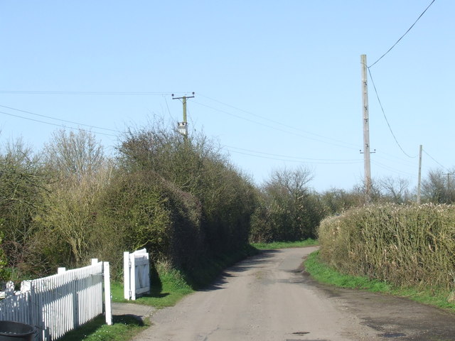
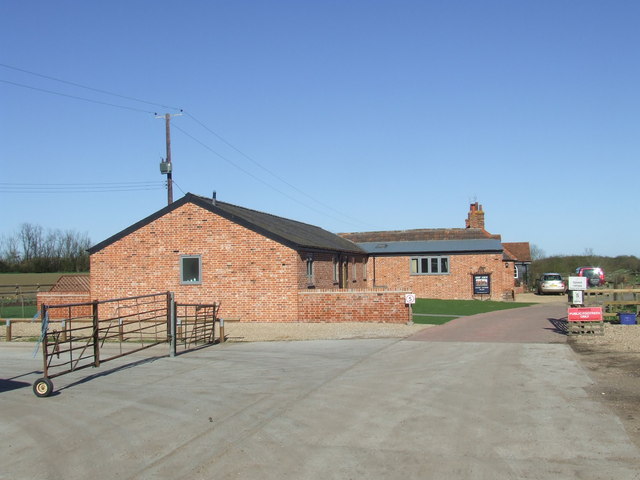
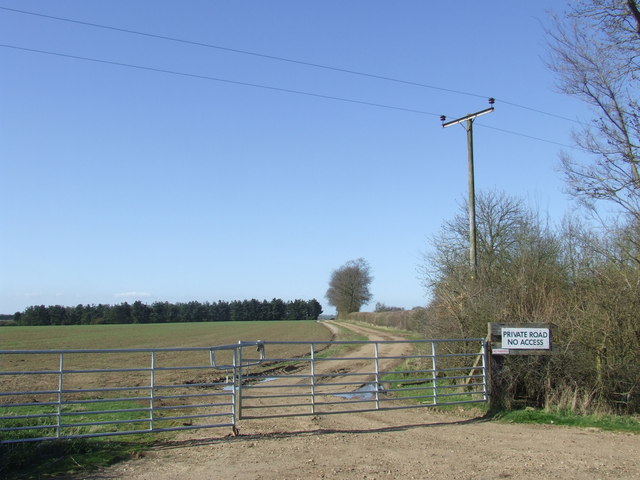
Salcott-cum-Virley Images

Images are sourced within 2km of 51.787774/0.82329526 or Grid Reference TL9413. Thanks to Geograph Open Source API. All images are credited.

Village Sign This is the village sign for Salcott Cum Virley on the junction of The B1026 Colchester Road and The Street.
Village Sign
This is the village sign for Salcott Cum Virley on the junction of The B1026 Colchester Road and The Street.
Breach B This panorama shows part of the largest continuous stretch of salt-marsh in Essex. It was created by Essex Wildlife Trust <span class="nowrap"><a title="http://www.essexwt.org.uk/visitor_centres__nature_reserves/abbotts_hall_farm/" rel="nofollow ugc noopener" href="http://www.essexwt.org.uk/visitor_centres__nature_reserves/abbotts_hall_farm/">Link</a><img style="margin-left:2px;" alt="External link" title="External link - shift click to open in new window" src="https://s1.geograph.org.uk/img/external.png" width="10" height="10"/></span> by cutting five breaches in the existing sea wall in October 2002, thus allowing 200 acres of reclaimed farmland to revert to a more natural state. You can see the scene in 2007 at <a href="https://www.geograph.org.uk/photo/550777">TL9613 : New Saltmarsh</a> "Breach B" is the largest of the gaps.
Breach B
This panorama shows part of the largest continuous stretch of salt-marsh in Essex. It was created by Essex Wildlife Trust LinkExternal link by cutting five breaches in the existing sea wall in October 2002, thus allowing 200 acres of reclaimed farmland to revert to a more natural state. You can see the scene in 2007 at TL9613 : New Saltmarsh "Breach B" is the largest of the gaps.
Track along field boundary,  Abbotts Hall Farm One of the main permissive paths near arable land at Essex Wildlife Trust's Abbotts Hall Farm, Great Wigborough.
Track along field boundary, Abbotts Hall Farm
One of the main permissive paths near arable land at Essex Wildlife Trust's Abbotts Hall Farm, Great Wigborough.
Tree on field boundary, Abbotts Hall Farm Looking east along a field margin and permissive path at Essex Wildlife Trust's Abbotts Hall Farm, Great Wigborough.
Tree on field boundary, Abbotts Hall Farm
Looking east along a field margin and permissive path at Essex Wildlife Trust's Abbotts Hall Farm, Great Wigborough.
Saplings, field margin, arable land: Abbotts Hall Farm Looking north along a permissive path near a small plantation of saplings at Essex Wildlife Trust's Abbotts Hall Farm, Great Wigborough.
Saplings, field margin, arable land: Abbotts Hall Farm
Looking north along a permissive path near a small plantation of saplings at Essex Wildlife Trust's Abbotts Hall Farm, Great Wigborough.
Maldon Road, Great Wigborough The house to the left is a farmhouse.
Maldon Road, Great Wigborough
The house to the left is a farmhouse.
Colchester Road, Salcott-cum-Virley Colchester Road is part of the B1206, heading south from Colchester.
Colchester Road, Salcott-cum-Virley
Colchester Road is part of the B1206, heading south from Colchester.
Road junction at Salcott-cum-Virley A signpost at a junction on the B1206 road south of Colchester.  The sign in the background indicates that this is the Colchester Borough boundary, as the road crosses into Maldon District here.
Road junction at Salcott-cum-Virley
A signpost at a junction on the B1206 road south of Colchester. The sign in the background indicates that this is the Colchester Borough boundary, as the road crosses into Maldon District here.
The Street, Salcott-cum-Virley The village of Salcott lies just off the B1206 road between Colchester and Maldon.
The Street, Salcott-cum-Virley
The village of Salcott lies just off the B1206 road between Colchester and Maldon.
Colchester Road near Salcott-cum-Virley The road bends to the right then crosses a bridge over a small stream.
Colchester Road near Salcott-cum-Virley
The road bends to the right then crosses a bridge over a small stream.
Colchester Road near Tollesbury
Back Road near Tollesbury, Essex
Old Hall Lane near Tollesbury, Essex The small blue square on the road name sign indicates that it is a "no through road".
Old Hall Lane near Tollesbury, Essex
The small blue square on the road name sign indicates that it is a "no through road".
Old Hall Lane near Tollesbury, Essex
Ship Ahoy holiday cottages near Tollesbury, Essex These holiday cottages were built in 2011.
Ship Ahoy holiday cottages near Tollesbury, Essex
These holiday cottages were built in 2011.
Farm track near Tollesbury, Essex
Essex Farmland This grid square is predominantly farmland.
Essex Farmland
This grid square is predominantly farmland.
Wheat Stubble Abbot's Wick Farm.
Wheat Stubble
Abbot's Wick Farm.
Show me another place!

Salcott-cum-Virley is located at Grid Ref: TL9413 (Lat: 51.787774, Lng: 0.82329526)

Administrative County: Essex

District: Colchester

Police Authority: Essex

What 3 Words

///card.pickup.wipes. Near Tollesbury, Essex

Nearby Locations

Salcott-cum-Virley Virley

Related Wikis

Salcott

Salcott or Salcott cum Virley is a village and civil parish in the Colchester borough of Essex, England, and forms part of the Winstred Hundred grouped...

Virley

Virley is a village and civil parish in the Colchester borough of Essex, England and forms part of the Winstred Hundred grouped parish council. According...

Abbotts Hall Farm

Abbotts Hall Farm is a 282 hectare nature reserve in Great Wigborough in Essex. It is the head office of the Essex Wildlife Trust, which manages the site...

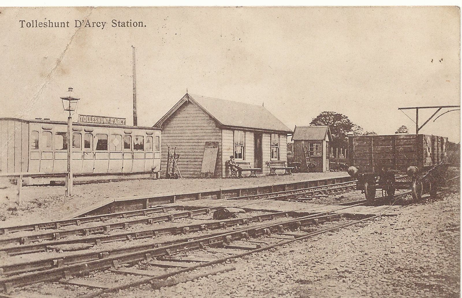
Tolleshunt d'Arcy railway station

Tolleshunt D'Arcy railway station was on the Kelvedon and Tollesbury Light Railway, serving the village of Tolleshunt D'Arcy, Essex. The station was 6...

Nearby Amenities

Located within 500m of 51.787774,0.82329526
Salcott-cum-Virley
Place: village
Source: NPE
Wikidata: Q3526188
Lat/Long: 51.7874067/0.8263982
Salcott
Place: hamlet
Lat/Long: 51.7878251/0.8215456
Virley
Place: hamlet
Lat/Long: 51.7888554/0.8259176
Post Box
Lat/Long: 51.7874549/0.8247081
The data included in this document is from www.openstreetmap.org. The data is made available under ODbL.

Have you been to Salcott-cum-Virley?

Leave your review of Salcott-cum-Virley below (or comments, questions and feedback).