Saint Andras

Settlement in Glamorgan

Wales

Saint Andras

The A4231 north east of Barry
The A4231 north east of Barry Credit: Mick Lobb

Saint Andrews is a small village located in the county of Glamorgan, Wales. Situated in the southern part of the country, it is nestled between the larger towns of Barry to the west and Penarth to the east. The village is known for its picturesque setting, as it is surrounded by rolling hills and offers stunning views of the Bristol Channel.

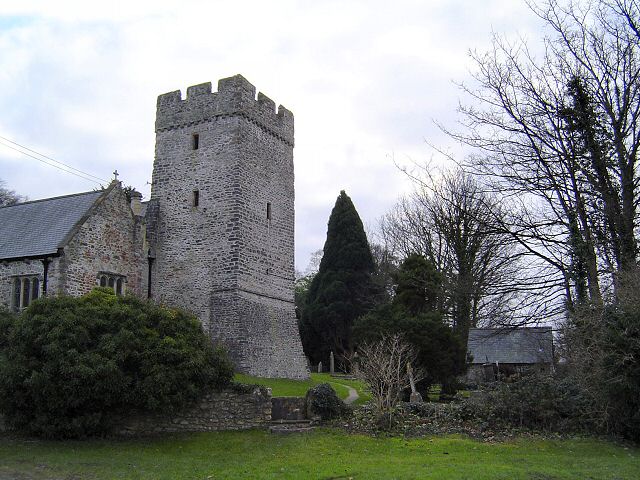
The history of Saint Andrews dates back many centuries, with evidence of human habitation in the area since prehistoric times. The village itself developed around a medieval church dedicated to Saint Andrew, from which it takes its name. The church, which still stands today, is a notable landmark and attracts visitors interested in its historical and architectural significance.

Despite its small size, Saint Andrews has a close-knit community and offers a range of amenities for its residents. There are several local shops, a primary school, and a community center that hosts various events and activities throughout the year. The village also benefits from its proximity to the nearby towns, providing easy access to additional services and facilities.

The natural beauty of the surrounding countryside makes Saint Andrews a popular destination for outdoor enthusiasts. The area offers numerous walking and hiking trails, as well as opportunities for birdwatching and wildlife spotting. Additionally, the nearby coastline provides residents and visitors with access to beautiful beaches and coastal activities.

Overall, Saint Andrews is a charming village that combines a rich history with stunning natural surroundings. It provides a peaceful and picturesque place to live or visit, with a strong sense of community and a range of amenities to cater to its residents' needs.

If you have any feedback on the listing, please let us know in the comments section below.
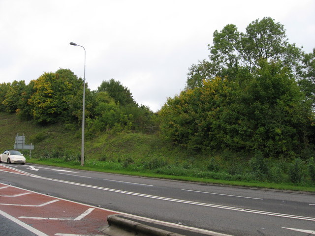
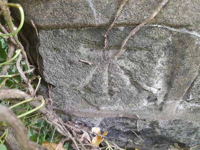
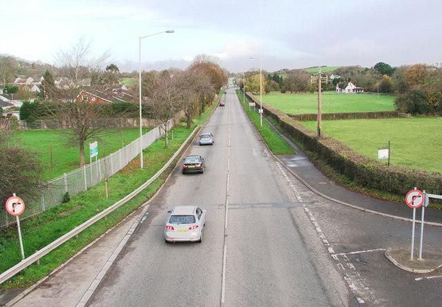
Saint Andras Images

Images are sourced within 2km of 51.435921/-3.2418001 or Grid Reference ST1371. Thanks to Geograph Open Source API. All images are credited.

The A4231 north east of Barry
Former railway near Cadoxton The line to Barry emerged at the low point on the embankment on the far side of the A4231.
Former railway near Cadoxton
The line to Barry emerged at the low point on the embankment on the far side of the A4231.
Glenbrook Inn The Glenbrook Inn, Palmerstown.
Glenbrook Inn
The Glenbrook Inn, Palmerstown.
Ordnance Survey Cut Mark This OS cut mark can be found on west parapet of the bridge. It marks a point 12.582m above mean sea level.
Ordnance Survey Cut Mark
This OS cut mark can be found on west parapet of the bridge. It marks a point 12.582m above mean sea level.
A4231 Barry Docks Link Road
St Peter's Church, Dinas Powys
Lidl supermarket, off the bypass of Barry
Car-park of Lidl supermarket, off the bypass of Barry
Cadoxton River under the Barry Railway, Dinas Powys Cadoxton River, or Afon Tregatwg, arises just beyond Michealston-le-Pit and flows through Dinas Powys down to Barry where it is channelled within the port before entering the Severn Estuary.
Here it is seen being passed over by the Barry Railway built in 1889 to the north of the Murch Community Playing Fields.
Cadoxton River under the Barry Railway, Dinas Powys
Cadoxton River, or Afon Tregatwg, arises just beyond Michealston-le-Pit and flows through Dinas Powys down to Barry where it is channelled within the port before entering the Severn Estuary. Here it is seen being passed over by the Barry Railway built in 1889 to the north of the Murch Community Playing Fields.
Roundabout on Port Road, the A4050, heading south
On the A4050 Port Road, heading south
At the roundabout where the Barry Docks road leaves the A4050
Cycle lane and traffic lights on the A4050
Ordnance Survey Cut Mark This OS cut mark can be found on the south parapet of the bridge. It marks a point 13.792m above mean sea level.
Ordnance Survey Cut Mark
This OS cut mark can be found on the south parapet of the bridge. It marks a point 13.792m above mean sea level.
Ordnance Survey Cut Mark This OS cut mark can be found on the east parapet of the culvert. It marks a point 17.889m above mean sea level.
Ordnance Survey Cut Mark
This OS cut mark can be found on the east parapet of the culvert. It marks a point 17.889m above mean sea level.
Ordnance Survey Cut Mark This OS cut mark can be found on the north parapet of the railway bridge. It marks a point 48.671m above mean sea level.
Ordnance Survey Cut Mark
This OS cut mark can be found on the north parapet of the railway bridge. It marks a point 48.671m above mean sea level.
Footpath near Dinas Powys woods
Footpath and fields near Michaelstone-le-Pit
Show me another place!

Saint Andras is located at Grid Ref: ST1371 (Lat: 51.435921, Lng: -3.2418001)

Unitary Authority: The Vale of Glamorgan

Police Authority: South Wales

Also known as: St Andrews Major

What 3 Words

///icons.trace.only. Near Dinas Powys, Vale of Glamorgan

Related Wikis

St. Andrews Major

St. Andrew's Major (Welsh: Saint Andras) is a village and parish in the community of Dinas Powys in the Vale of Glamorgan, between Barry and Cardiff in...

Wrinstone

Wrinstone or Wrinston (Welsh: Wrinstwn) is a medieval hamlet, just east of Wenvoe, Vale of Glamorgan, south Wales. The Wrinstone estate was variously also...

Dinas Powys hillfort

The Dinas Powys hillfort is an Iron Age hillfort near Dinas Powys, Glamorgan, Wales. It is just one of several thousand hillforts to have been constructed...

St Richard Gwyn Catholic High School, Barry

St Richard Gwyn Catholic High School is a Roman Catholic comprehensive secondary school situated in Vale of Glamorgan, Wales. It is named after the Welsh...

A4050 road

The A4050 road connects Barry, Vale of Glamorgan with Culverhouse Cross on the outskirts of Cardiff, Wales. It is approximately 10 miles (16 km) long,...

Dinas Powys railway station

Dinas Powys railway station is one of two railway stations serving the village of Dinas Powys in the Vale of Glamorgan, South Wales. It is located on Network...

Cadoxton, Vale of Glamorgan

Cadoxton (; Welsh: Tregatwg) is a district of Barry in the Vale of Glamorgan, Wales. Cadoxton was once originally its own village, separate from Barry...

Wenvoe Castle

Wenvoe Castle was a castle and country estate between Barry and Wenvoe, in the Vale of Glamorgan, south Wales. Today the former estate forms the Wenvoe...

Nearby Amenities

Located within 500m of 51.435921,-3.2418001
Barrier: kissing_gate
Lat/Long: 51.4399585/-3.2397275
Power: tower
Lat/Long: 51.4344976/-3.2482435
Barrier: stile
Stile: stepover
Lat/Long: 51.4398983/-3.2398628
St Andrew's Major
Name Cy: Saint Andras
Place: hamlet
Wikidata: Q7586941
Wikipedia: en:St. Andrews Major
Lat/Long: 51.4356877/-3.2402965
Power: tower
Lat/Long: 51.4328697/-3.2452235
Power: tower
Lat/Long: 51.432085/-3.2437818
Power: tower
Lat/Long: 51.4337066/-3.2467604
Power: pole
Lat/Long: 51.4316298/-3.2415918
Power: pole
Lat/Long: 51.4331682/-3.2449928
Power: pole
Lat/Long: 51.4340277/-3.2468301
Power: pole
Lat/Long: 51.4346881/-3.2482007
Barrier: kissing_gate
Foot: yes
Horse: no
Motor Vehicle: no
Lat/Long: 51.4366627/-3.2358972
Barrier: stile
Lat/Long: 51.4351761/-3.2411592
Barrier: stile
Stile: stepover
Lat/Long: 51.4394171/-3.2453124
Barrier: kissing_gate
Lat/Long: 51.4322781/-3.244116
Barrier: stile
Stile: stepover
Lat/Long: 51.4356784/-3.2410566
Direction: WSW
Generator Method: photovoltaic
Generator Output Electricity: yes
Generator Solar Modules: 16
Generator Source: solar
Generator Type: solar_photovoltaic_panel
Location: roof
Power: generator
Lat/Long: 51.4354489/-3.2462481
Direction: 235
Generator Method: photovoltaic
Generator Output Electricity: yes
Generator Solar Modules: 16
Generator Source: solar
Generator Type: solar_photovoltaic_panel
Location: roof
Power: generator
Lat/Long: 51.4352521/-3.2471469
Direction: 260
Generator Method: photovoltaic
Generator Output Electricity: yes
Generator Solar Modules: 8
Generator Source: solar
Generator Type: solar_photovoltaic_panel
Location: roof
Power: generator
Lat/Long: 51.4346162/-3.2474417
Direction: 170
Generator Method: photovoltaic
Generator Output Electricity: yes
Generator Solar Modules: 8
Generator Source: solar
Generator Type: solar_photovoltaic_panel
Location: roof
Power: generator
Lat/Long: 51.4347065/-3.2475221
Direction: SW
Generator Method: photovoltaic
Generator Output Electricity: yes
Generator Solar Modules: 7
Generator Source: solar
Generator Type: solar_photovoltaic_panel
Location: roof
Power: generator
Lat/Long: 51.4357324/-3.2423683
Direction: SE
Generator Method: photovoltaic
Generator Output Electricity: yes
Generator Solar Modules: 10
Generator Source: solar
Generator Type: solar_photovoltaic_panel
Location: roof
Power: generator
Lat/Long: 51.4357023/-3.242261
Direction: 255
Generator Method: photovoltaic
Generator Output Electricity: yes
Generator Solar Modules: 9
Generator Source: solar
Generator Type: solar_photovoltaic_panel
Location: roof
Power: generator
Lat/Long: 51.4362925/-3.2417249
Direction: 165
Generator Method: photovoltaic
Generator Output Electricity: yes
Generator Solar Modules: 8
Generator Source: solar
Generator Type: solar_photovoltaic_panel
Location: roof
Power: generator
Lat/Long: 51.4361665/-3.2416658
Power: pole
Lat/Long: 51.4351316/-3.2452057
Power: pole
Lat/Long: 51.4356314/-3.2437636
Traffic Sign: maxspeed
Lat/Long: 51.4356325/-3.2432779
Hazard: horse_riders
Traffic Sign: hazard
Lat/Long: 51.4352984/-3.2388708
The data included in this document is from www.openstreetmap.org. The data is made available under ODbL.

Have you been to Saint Andras?

Leave your review of Saint Andras below (or comments, questions and feedback).