Virley

Settlement in Essex Colchester

England

Virley

Tolleshunt D'Arcy, St Nicholas
Tolleshunt D'Arcy, St Nicholas Credit: Dave Kelly

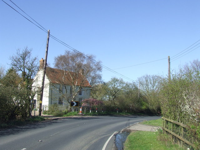
Virley is a small village located in the county of Essex, in the eastern part of England. Situated on the Dengie Peninsula, it is surrounded by picturesque countryside and is approximately 7 miles southeast of the town of Maldon. The village is relatively secluded and has a tranquil atmosphere, making it an ideal place for those seeking a peaceful retreat.

Virley is known for its charming rural character, with a scattering of traditional cottages and farmhouses dotting the landscape. The village is set amidst fertile farmland, predominantly used for agriculture, including arable farming and livestock rearing. The surrounding fields offer stunning views of the countryside, making it a popular spot for nature enthusiasts and photographers.

One of the notable features of Virley is its close proximity to the River Blackwater, which runs along the eastern border of the village. The river provides opportunities for boating, fishing, and other water-based activities, attracting both locals and visitors.

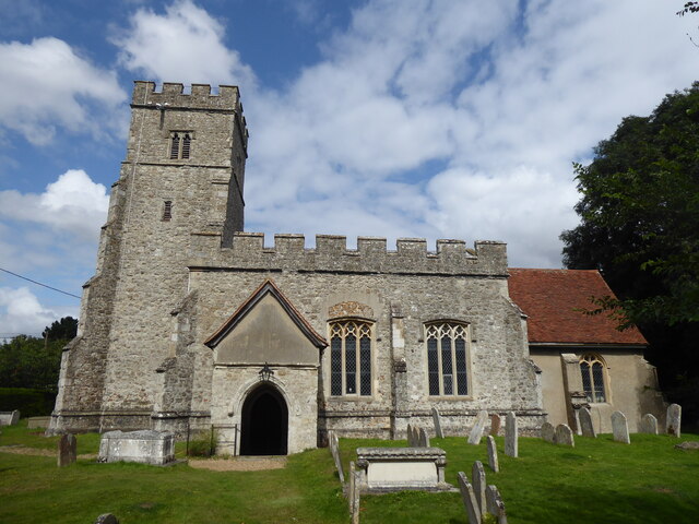
Despite its small size, Virley has a strong sense of community. The village has a historic church, St. Mary's, which stands as a prominent landmark and holds regular services. There are also community events organized throughout the year, including fairs and festivals, bringing residents together.

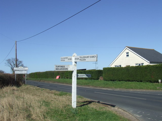
For amenities and services, the village is primarily reliant on nearby towns and villages. However, Virley benefits from its peaceful setting and natural beauty, making it an appealing destination for those seeking a serene and idyllic place to live or visit.

If you have any feedback on the listing, please let us know in the comments section below.
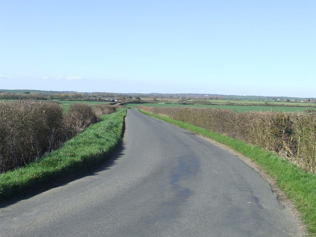
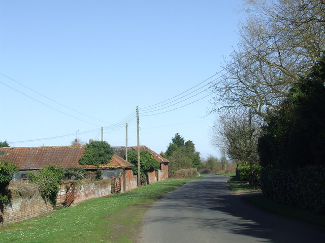
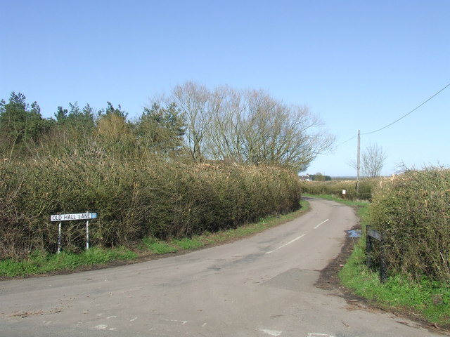
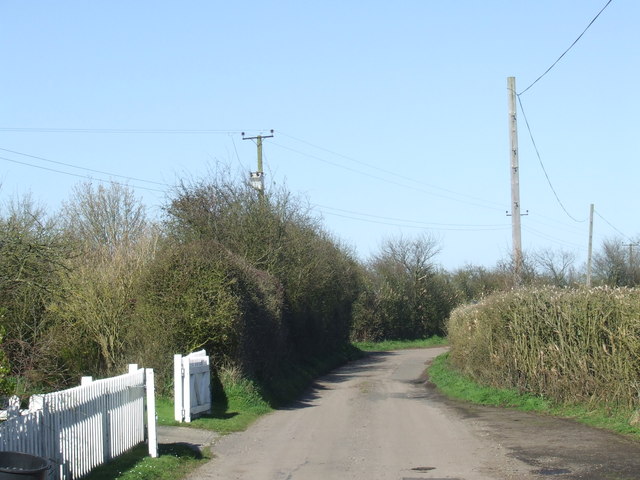
Virley Images

Images are sourced within 2km of 51.782024/0.81104618 or Grid Reference TL9413. Thanks to Geograph Open Source API. All images are credited.

Tolleshunt D'Arcy, St Nicholas
Playground at Tolleshunt D'Arcy
Playing fields at Tolleshunt D'Arcy
Tolleshunt D'Arcy primary school
Village Sign This is the village sign for Salcott Cum Virley on the junction of The B1026 Colchester Road and The Street.
Village Sign
This is the village sign for Salcott Cum Virley on the junction of The B1026 Colchester Road and The Street.
The Former Red Lion Public House, Tolleshunt D'Arcy Like many others it is now a restaurant
The Former Red Lion Public House, Tolleshunt D'Arcy
Like many others it is now a restaurant
The Former Thatchers Arms Public House Tolleshunt D'Arcy The pub closed in early 2008 and has since been demolished for housing to be built on the site
The Former Thatchers Arms Public House Tolleshunt D'Arcy
The pub closed in early 2008 and has since been demolished for housing to be built on the site
Tolleshunt D'Arcy from the air The Crowne Plaza Five Lakes Resort, with its two golf courses, can also be seen in this view from a Heathrow bound flight from Prague.
Tolleshunt D'Arcy from the air
The Crowne Plaza Five Lakes Resort, with its two golf courses, can also be seen in this view from a Heathrow bound flight from Prague.
St Nicholas Parish Church, Tolleshunt D'Arcy
St Nicholas
Parish Church, Tolleshunt D'Arcy
Colchester Road, Salcott-cum-Virley Colchester Road is part of the B1206, heading south from Colchester.
Colchester Road, Salcott-cum-Virley
Colchester Road is part of the B1206, heading south from Colchester.
Road junction at Salcott-cum-Virley A signpost at a junction on the B1206 road south of Colchester.  The sign in the background indicates that this is the Colchester Borough boundary, as the road crosses into Maldon District here.
Road junction at Salcott-cum-Virley
A signpost at a junction on the B1206 road south of Colchester. The sign in the background indicates that this is the Colchester Borough boundary, as the road crosses into Maldon District here.
The Street, Salcott-cum-Virley The village of Salcott lies just off the B1206 road between Colchester and Maldon.
The Street, Salcott-cum-Virley
The village of Salcott lies just off the B1206 road between Colchester and Maldon.
Colchester Road near Salcott-cum-Virley The road bends to the right then crosses a bridge over a small stream.
Colchester Road near Salcott-cum-Virley
The road bends to the right then crosses a bridge over a small stream.
Colchester Road near Tollesbury
Back Road near Tollesbury, Essex
Old Hall Lane near Tollesbury, Essex The small blue square on the road name sign indicates that it is a "no through road".
Old Hall Lane near Tollesbury, Essex
The small blue square on the road name sign indicates that it is a "no through road".
Old Hall Lane near Tollesbury, Essex
Ship Ahoy holiday cottages near Tollesbury, Essex These holiday cottages were built in 2011.
Ship Ahoy holiday cottages near Tollesbury, Essex
These holiday cottages were built in 2011.
Show me another place!

Virley is located at Grid Ref: TL9413 (Lat: 51.782024, Lng: 0.81104618)

Administrative County: Essex

District: Colchester

Police Authority: Essex

What 3 Words

///bill.rags.slap. Near Tolleshunt Knights, Essex

Nearby Locations

Salcott-cum-Virley Virley

Related Wikis

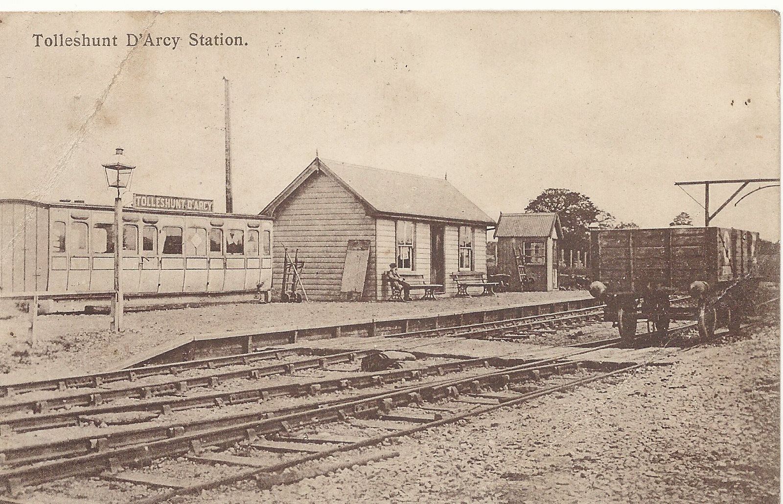
Tolleshunt d'Arcy railway station

Tolleshunt D'Arcy railway station was on the Kelvedon and Tollesbury Light Railway, serving the village of Tolleshunt D'Arcy, Essex. The station was 6...
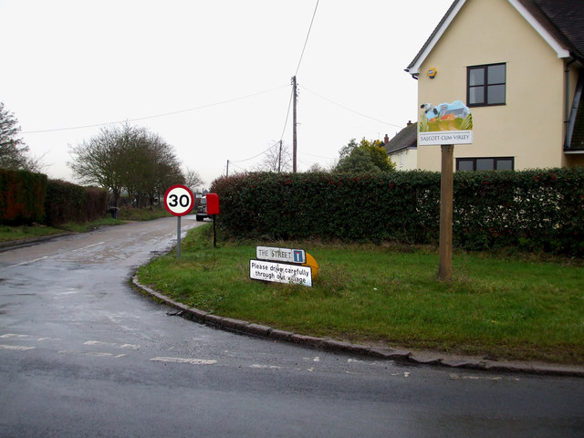
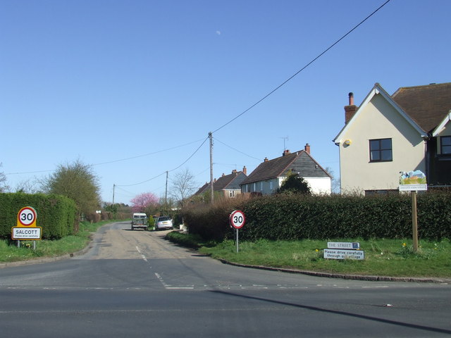
Salcott

Salcott or Salcott cum Virley is a village and civil parish in the Colchester borough of Essex, England, that forms part of the Winstred Hundred grouped...

Virley

Virley is a village and civil parish in the Colchester borough of Essex, England and forms part of the Winstred Hundred grouped parish council. According...

Queen's Head, Tolleshunt D'Arcy

The Queen's Head is a public house at The Square, Tolleshunt D'Arcy, Essex CM9 8TF. It is on the Campaign for Real Ale's National Inventory of Historic...

Nearby Amenities

Located within 500m of 51.782024,0.81104618
Bus Stop
Five Lakes
Bus: yes
Naptan AtcoCode: 150014010010
Naptan Bearing: N
Naptan BusStopType: CUS
Naptan CommonName: Whitehouse Hill
Naptan Crossing: Barnhall Road
Naptan Indicator: N-bound
Naptan Landmark: Whitehouse Hill
Naptan NaptanCode: esxgdjdm
Naptan Street: Whitehouse Hill
Naptan Verified: no
Public Transport: platform
Source: naptan_import
Lat/Long: 51.7849275/0.8142461
Bus Stop
Five Lakes
Bus: yes
Naptan AtcoCode: 1500140100Y0
Naptan Bearing: S
Naptan BusStopType: CUS
Naptan CommonName: Whitehouse Hill
Naptan Crossing: Barnhall Road
Naptan Indicator: S-bound
Naptan Landmark: Whitehouse Hill
Naptan NaptanCode: esxgtwjt
Naptan Street: Whitehouse Hill
Naptan Verified: no
Public Transport: platform
Source: naptan_import
Lat/Long: 51.7849131/0.8143767
The data included in this document is from www.openstreetmap.org. The data is made available under ODbL.

Have you been to Virley?

Leave your review of Virley below (or comments, questions and feedback).