Salford
Settlement in Yorkshire
England
Salford

Salford is a town located in the metropolitan borough of the City of Salford in Greater Manchester, England. It is situated on the banks of the River Irwell, approximately 1.5 miles west of Manchester city center. It is important to note that Salford is not part of the historic county of Yorkshire, but rather belongs to the county of Greater Manchester.
With a population of over 100,000 residents, Salford is a vibrant and diverse town that offers a mix of industrial heritage and modern developments. The town has a rich history, dating back to the Middle Ages, and was a key player in the Industrial Revolution. The iconic Salford Quays, once a bustling port, has been transformed into a thriving waterfront destination with cultural attractions, media outlets, and trendy residential areas.
Salford is home to several notable landmarks, including the Salford Cathedral, a stunning Gothic-style building that dates back to the 19th century. The town also boasts numerous green spaces, such as Peel Park and Buile Hill Park, providing locals and visitors with ample opportunities for outdoor activities and relaxation.
In terms of education, Salford is home to the University of Salford, which has a strong reputation for its courses in media, arts, and engineering. The town also has a range of schools, libraries, and community centers, ensuring access to educational resources for its residents.
Transport links in Salford are excellent, with several train stations, tram stops, and bus services providing easy access to Manchester and other neighboring towns. Additionally, the town is well-connected to major road networks, including the M60 motorway, making it easily accessible by car.
Overall, Salford offers a mix of historical charm, cultural attractions, and modern amenities, making it an appealing place to live, work, and visit.
If you have any feedback on the listing, please let us know in the comments section below.
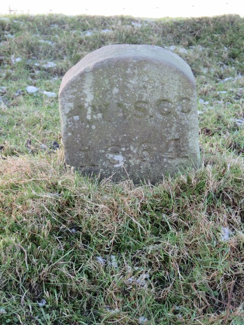
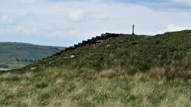
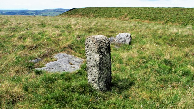
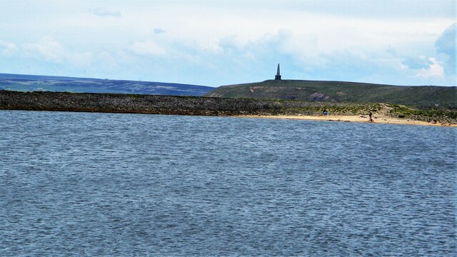
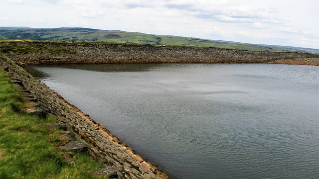
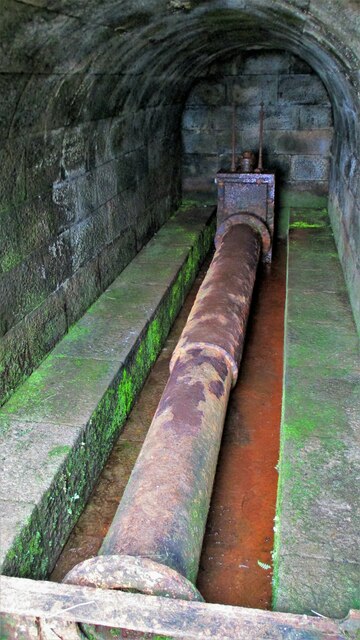
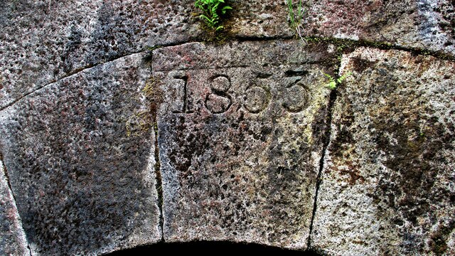
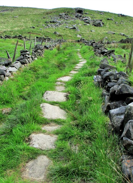
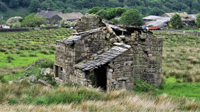
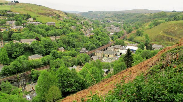
Salford Images
Images are sourced within 2km of 53.710698/-2.0986064 or Grid Reference SD9323. Thanks to Geograph Open Source API. All images are credited.


Salford is located at Grid Ref: SD9323 (Lat: 53.710698, Lng: -2.0986064)
Division: West Riding
Unitary Authority: Calderdale
Police Authority: West Yorkshire
What 3 Words
///scan.garage.confining. Near Todmorden, West Yorkshire
Nearby Locations
Related Wikis

Todmorden Unitarian Church
Todmorden Unitarian Church is a Unitarian church located in Honey Hole Road, Todmorden, West Yorkshire, England (grid reference SD935239). Built in honour...

Todmorden
Todmorden ( TOD-mər-dən; locally ) is a market town and civil parish in the Upper Calder Valley in Calderdale, West Yorkshire, England. It is 17 miles...

Todmorden railway station
Todmorden railway station serves the town of Todmorden in West Yorkshire, England, originally on the Yorkshire and Lancashire border. It was built by the...

Todmorden Town Hall
Todmorden Town Hall is a municipal building in Halifax Road, Todmorden, West Yorkshire, England. The town hall, which is the meeting place of Todmorden...

Todmorden Markets
Todmorden Markets consist of an indoor market held in the Public Market Hall and an outdoor open air market held to the front of the Public Market Hall...

Todmorden bus station
Todmorden bus station serves the town of Todmorden, West Yorkshire, England. The bus station is owned and managed by West Yorkshire Metro and was opened...

Dobroyd Castle
Dobroyd Castle is an important historic building above the town of Todmorden, West Yorkshire, England. It was built for John Fielden, local mill owner...
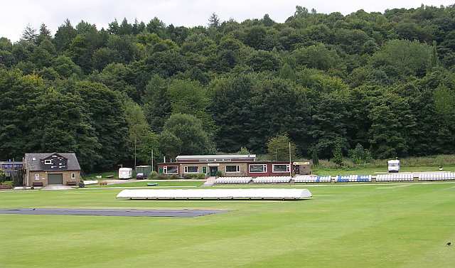
Todmorden Cricket Club
Todmorden Cricket Club is a cricket club in the Lancashire League, which plays its home games at Centre Vale in Todmorden, West Yorkshire. Until the administrative...
Nearby Amenities
Located within 500m of 53.710698,-2.0986064Have you been to Salford?
Leave your review of Salford below (or comments, questions and feedback).