Ramsey End

Settlement in Huntingdonshire Huntingdonshire

England

Ramsey End

Pond, sign, flagpost and fancy streetlamp Lots of Street furniture in this village scene
Pond, sign, flagpost and fancy streetlamp Credit: Chris Stafford

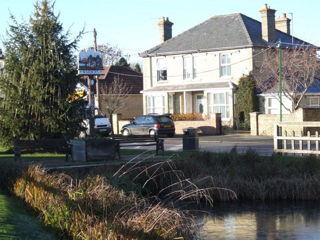
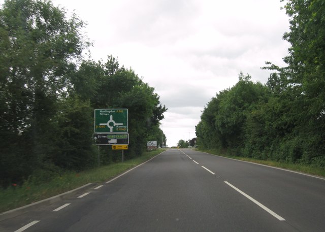
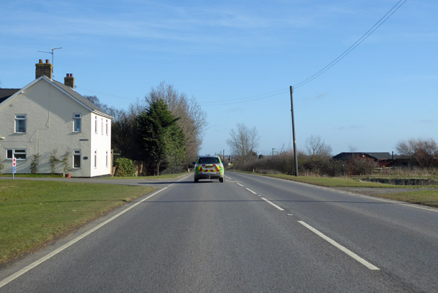
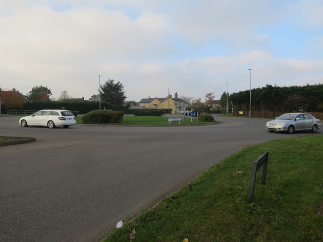
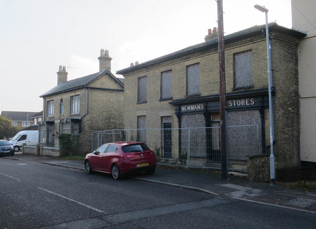
Ramsey End is a small village located in the district of Huntingdonshire, in the county of Cambridgeshire, England. Situated approximately 15 miles northwest of Cambridge, Ramsey End is nestled in the picturesque countryside, offering residents and visitors a tranquil and idyllic setting.

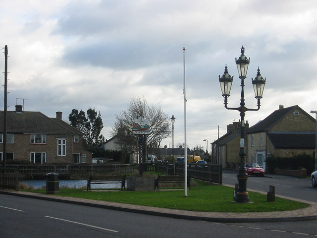
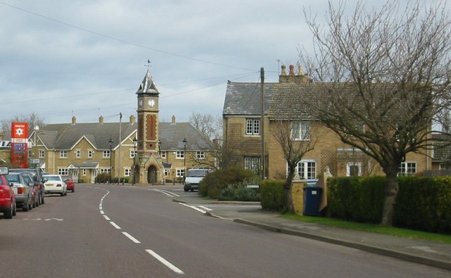
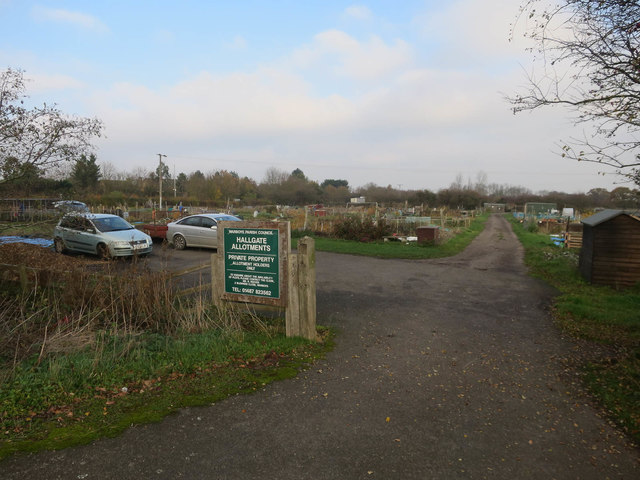
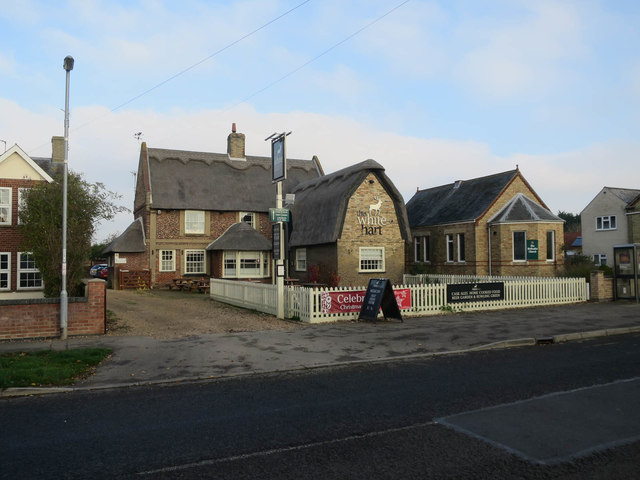
The village is characterized by its charming thatched cottages, traditional architecture, and well-maintained gardens. The surrounding landscape is primarily agricultural, with vast fields and rolling hills, providing a stunning backdrop for outdoor activities and leisurely walks.

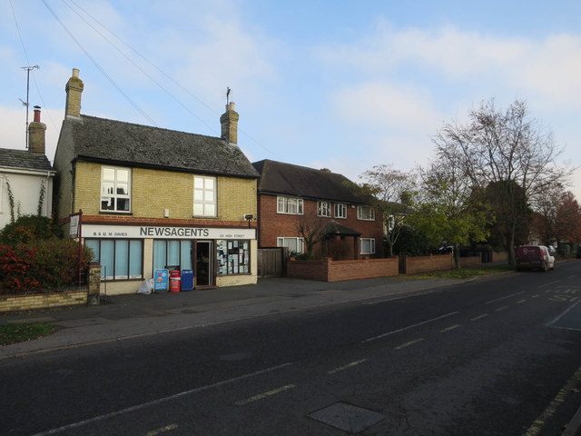
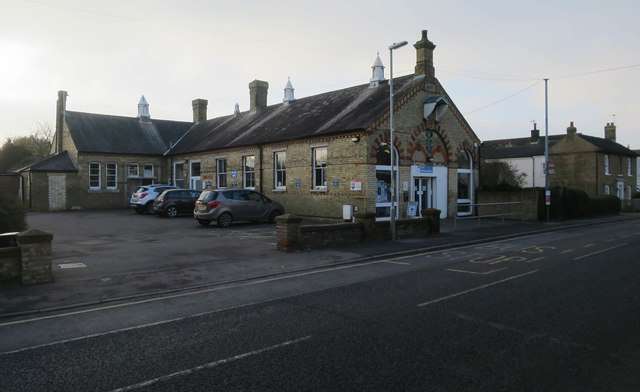
Ramsey End is home to a close-knit community, with a population of around 500 residents. The village offers a range of amenities, including a local pub, a community hall, and a primary school. The residents often participate in various community events and activities, fostering a strong sense of camaraderie.

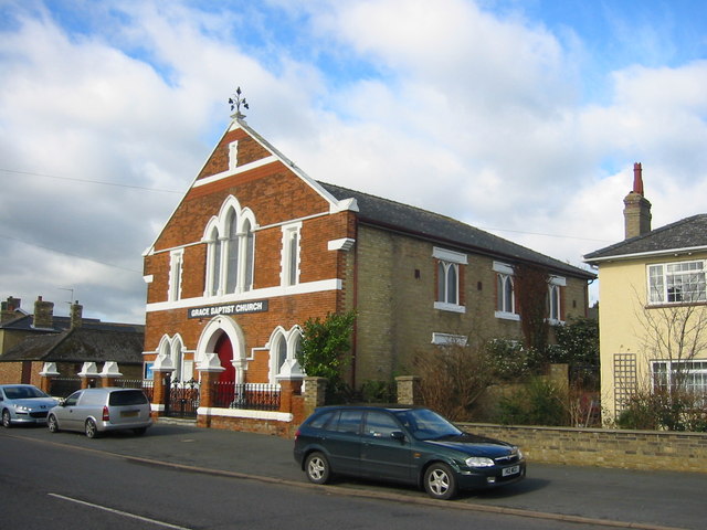
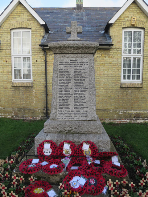
For those seeking historical and cultural experiences, Ramsey End boasts several notable landmarks. The village is home to the renowned Ramsey Abbey Gatehouse, a Grade I listed building dating back to the 15th century. This well-preserved structure offers a glimpse into the region's rich history and architectural heritage.

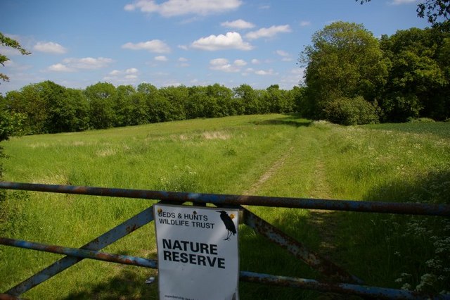
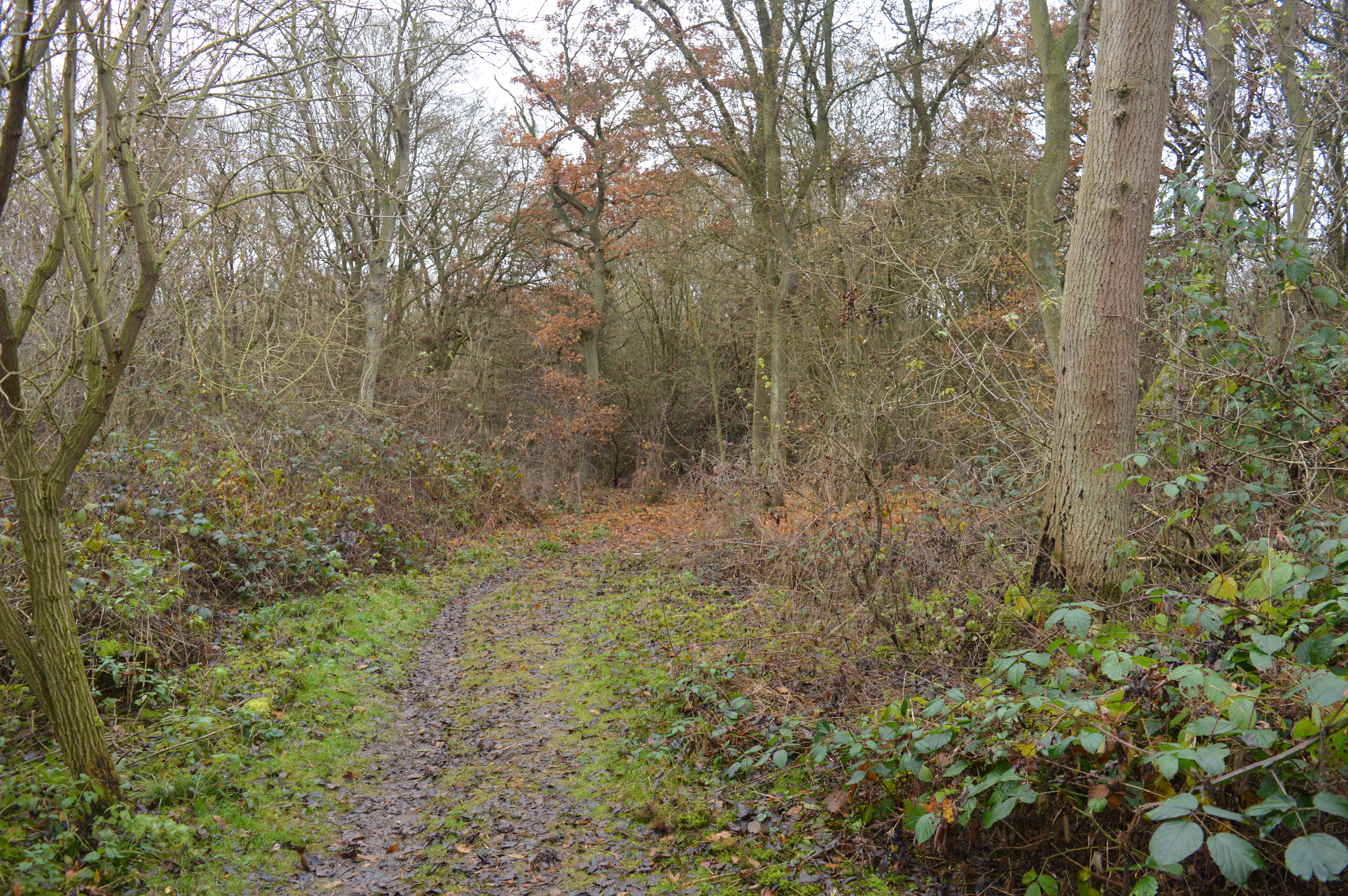
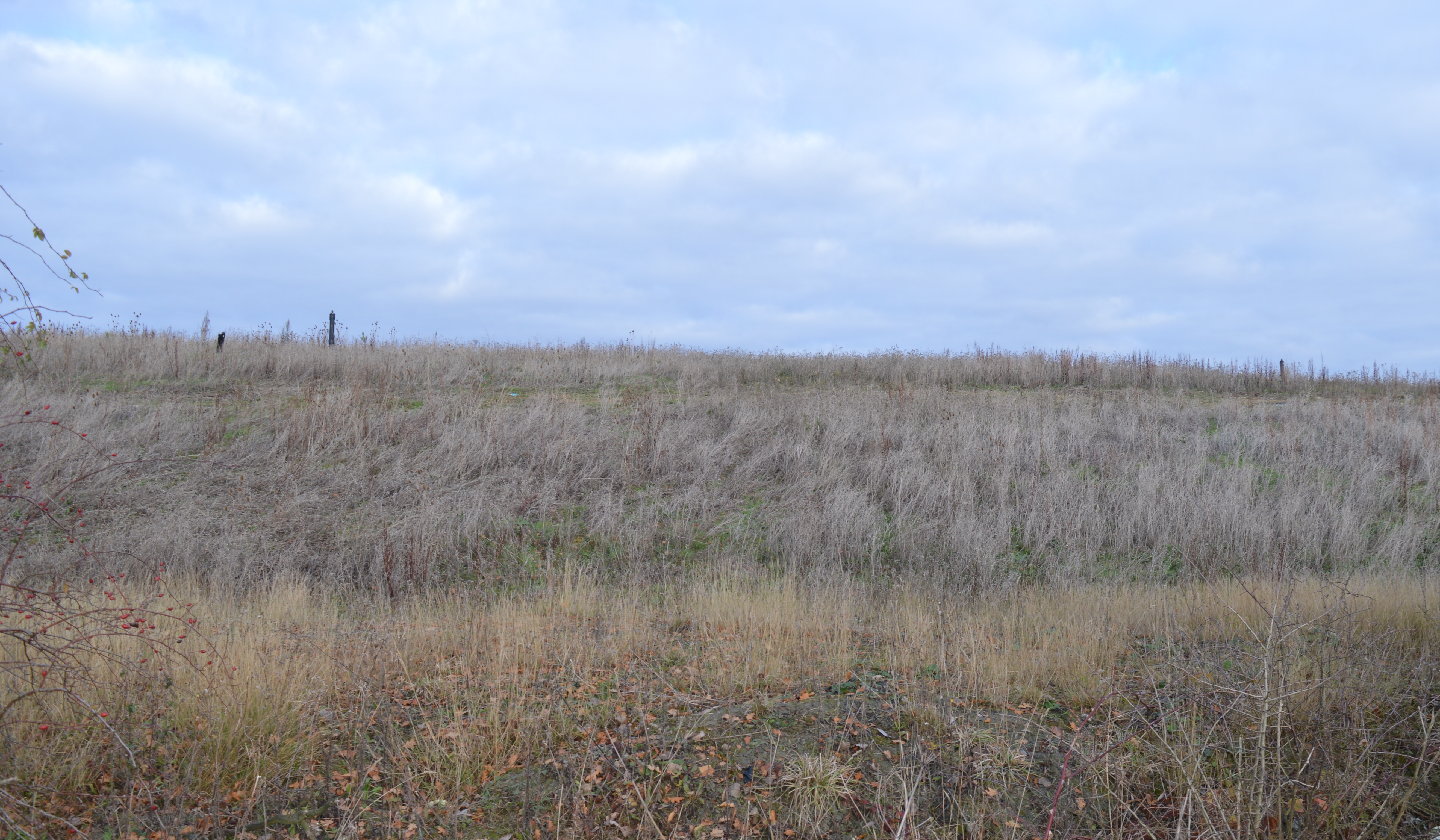
Nature enthusiasts can explore the nearby Ramsey Heights Nature Reserve, a designated Site of Special Scientific Interest (SSSI). This reserve is known for its diverse flora and fauna, including rare bird species and vibrant wildflowers.

Overall, Ramsey End offers a charming and peaceful retreat for residents and visitors alike, combining natural beauty, historical significance, and a strong sense of community.

If you have any feedback on the listing, please let us know in the comments section below.
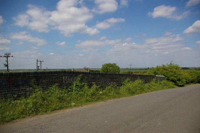
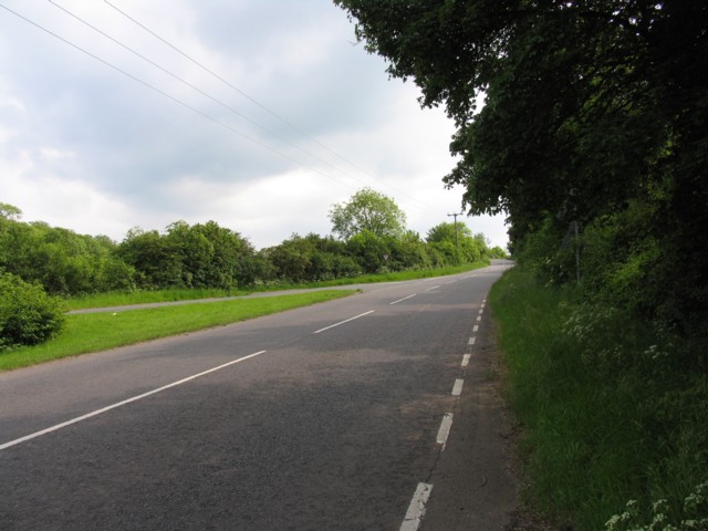
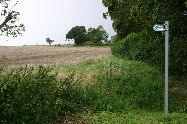
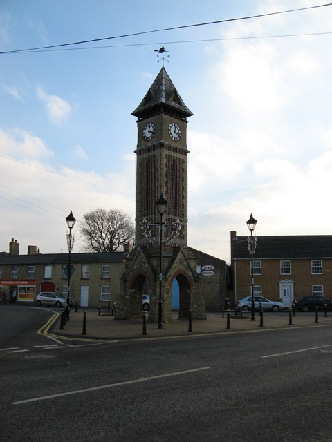
Ramsey End Images

Images are sourced within 2km of 52.403069/-0.085344667 or Grid Reference TL3080. Thanks to Geograph Open Source API. All images are credited.

Pond, sign, flagpost and fancy streetlamp Lots of Street furniture in this village scene
Pond, sign, flagpost and fancy streetlamp
Lots of Street furniture in this village scene
Grace Baptist Church High Street Red brick front with all the stonework picked out in fresh white paint
Grace Baptist Church High Street
Red brick front with all the stonework picked out in fresh white paint
Clock Tower built in 1887 Yellow and red brick tower with open arches at the bottom
Clock Tower built in 1887
Yellow and red brick tower with open arches at the bottom
Nature reserve and gate
Parapet of bridge over disused railway carrying minor road over Great Eastern Ramsey branch There was a station serving Warboys here - see <span class="nowrap"><a title="http://www.disused-stations.org.uk/w/warboys/index.shtml" rel="nofollow ugc noopener" href="http://www.disused-stations.org.uk/w/warboys/index.shtml">Link</a><img style="margin-left:2px;" alt="External link" title="External link - shift click to open in new window" src="https://s1.geograph.org.uk/img/external.png" width="10" height="10"/></span> for information on the station (which closed to passengers in 1930!) and the history of this branch line.
Parapet of bridge over disused railway carrying minor road over Great Eastern Ramsey branch
There was a station serving Warboys here - see LinkExternal link for information on the station (which closed to passengers in 1930!) and the history of this branch line.
Puddock Hill southwards
Footpath at Humbrills farm Footpath at Humbrills farm
Footpath at Humbrills farm
The Clock Tower A very prominent feature in Warboys.
The Clock Tower
A very prominent feature in Warboys.
Warboys Village Sign
A141 southbound
A141 southbound
A141 heading north-east Passing Claygate House.
A141 heading north-east
Passing Claygate House.
Hallgate Allotments, Warboys
A141 roundabout, Warboys
the white hart, Warboys Next to the Methodist Church.
the white hart, Warboys
Next to the Methodist Church.
Newsagents, Warboys
Newsagents, Warboys
Warboys Library
Warboys Library
Former Newmans Stores, Warboys Little change since <a href="https://www.geograph.org.uk/photo/2424247">TL3080 : Newman's Stores</a> seven year previous.
Former Newmans Stores, Warboys
Little change since TL3080 : Newman's Stores seven year previous.
War memorial, Warboys
Show me another place!

Ramsey End is located at Grid Ref: TL3080 (Lat: 52.403069, Lng: -0.085344667)

Administrative County: Cambridgeshire

District: Huntingdonshire

Police Authority: Cambridgeshire

What 3 Words

///gifted.bloom.implanted. Near Warboys, Cambridgeshire

Related Wikis

Warboys Town F.C.

Warboys Town Football Club is a football club based in Warboys, near Ramsey in Cambridgeshire, England. The club are currently members of the Peterborough...

Warboys

Warboys is a large village and civil parish in the Huntingdonshire district of Cambridgeshire, England, 7 miles (11 km) north-east of Huntingdon. ��2...

Warboys and Wistow Woods

Warboys and Wistow Woods is a 44.5-hectare (110-acre) biological Site of Special Scientific Interest north of Warboys and west of Wistow in Cambridgeshire...

Warboys Clay Pit

Warboys Clay Pit is a 12.6-hectare (31-acre) geological Site of Special Scientific Interest west of Warboys in Cambridgeshire. It is a Geological Conservation...

Nearby Amenities

Located within 500m of 52.403069,-0.085344667
Warboys
Place: village
Wikidata: Q1926205
Lat/Long: 52.4041489/-0.0793559
Doctors
Moat House Surgery
Addr Postcode: PE28 2RQ
Healthcare: doctor
Lat/Long: 52.400883/-0.0843538
Bus Stop
Ramsey Road
Bus: yes
Naptan AtcoCode: 0500HWARB001
Naptan Bearing: NW
Naptan CommonName: Ramsey Road
Naptan Indicator: o/s No 17
Naptan Landmark: Ramsey Road
Naptan NaptanCode: cmbdtjpd
Naptan ShortCommonName: Ramsey Road
Naptan Street: Ramsey Road
Naptan Verified: no
Public Transport: platform
Source: naptan_import
Lat/Long: 52.4040688/-0.0857325
Bus Stop
Church Road
Bus: yes
Naptan AtcoCode: 0500HWARB002
Naptan Bearing: W
Naptan CommonName: Church Road
Naptan Indicator: near
Naptan Landmark: Church Road
Naptan NaptanCode: cmbdtjpg
Naptan ShortCommonName: Church Road
Naptan Street: High Street
Naptan Verified: no
Public Transport: platform
Source: naptan_import
Lat/Long: 52.4032385/-0.0846135
Bus Stop
High Street
Bus: yes
Naptan AtcoCode: 0500HWARB003
Naptan Bearing: W
Naptan CommonName: High Street
Naptan Indicator: o/s No 48
Naptan Landmark: Pathfinder Way
Naptan NaptanCode: cmbdtjpj
Naptan ShortCommonName: High Street
Naptan Street: High Street
Naptan Verified: no
Public Transport: platform
Source: naptan_import
Lat/Long: 52.4033588/-0.07989
Bus Stop
High Street
Bus: yes
Naptan AtcoCode: 0500HWARB004
Naptan Bearing: E
Naptan CommonName: High Street
Naptan Indicator: o/s No 49
Naptan Landmark: High Street
Naptan NaptanCode: cmbdtjpm
Naptan ShortCommonName: High Street
Naptan Street: High Street
Naptan Verified: no
Public Transport: platform
Source: naptan_import
Lat/Long: 52.4035247/-0.0793463
Bus Stop
Humberdale Way
Bus: yes
Naptan AtcoCode: 0500HWARB006
Naptan Bearing: NW
Naptan CommonName: Humberdale Way
Naptan Indicator: opp
Naptan Landmark: Humberdale Way
Naptan NaptanCode: cmbdtjpw
Naptan ShortCommonName: Humberdale Way
Naptan Street: Ramsey Road
Naptan Verified: no
Public Transport: platform
Source: naptan_import
Lat/Long: 52.4056204/-0.0877089
Shelter
Church Road
Naptan AtcoCode: 0500HWARB008
Naptan Bearing: E
Naptan CommonName: Church Road
Naptan Indicator: opp
Naptan Landmark: George Lane
Naptan NaptanCode: cmbdtjtd
Naptan ShortCommonName: Church Road
Naptan Street: High Street
Naptan Verified: no
Shelter Type: public_transport
Source: naptan_import
Lat/Long: 52.4033542/-0.084788
Bus Stop
Humberdale Way
Bus: yes
Naptan AtcoCode: 0500HWARB010
Naptan Bearing: SE
Naptan CommonName: Humberdale Way
Naptan Indicator: near
Naptan Landmark: Humberdale Way
Naptan NaptanCode: cmbdtjtj
Naptan ShortCommonName: Humberdale Way
Naptan Street: Ramsey Road
Naptan Verified: no
Public Transport: platform
Source: naptan_import
Lat/Long: 52.4059089/-0.0877552
Shelter
High Street
Bench: yes
Bin: yes
Naptan AtcoCode: 0500HWARB035
Naptan Bearing: E
Naptan CommonName: High Street
Naptan Crossing: Pathfinder Way
Naptan Indicator: opp No 44
Naptan Landmark: Pathfinder Way
Naptan NaptanCode: cmbgjmap
Naptan ShortCommonName: High Street
Naptan Street: High Street
Naptan Verified: no
Shelter Type: public_transport
Source: naptan_import
Lat/Long: 52.4034634/-0.0805143
Fuel
Ouse Valley Autos
Lat/Long: 52.4031156/-0.08553
Post Box
Ref: PE28 196
Lat/Long: 52.4062591/-0.0878679
Warboys Clock Tower
Man Made: tower
Tower Type: clock
Lat/Long: 52.4032532/-0.0851552
Post Box
Brand: Royal Mail
Brand Wikidata: Q638098
Brand Wikipedia: en:Royal Mail
Operator: Royal Mail
Operator Wikidata: Q638098
Lat/Long: 52.4033187/-0.0820552
Barrier: cycle_barrier
Lat/Long: 52.4018296/-0.0823279
Barrier: cycle_barrier
Lat/Long: 52.4011239/-0.0839345
Barrier: bollard
Lat/Long: 52.4013208/-0.0829302
One Stop
Alt Name: Warboys Convenience Store
Brand: One Stop
Brand Wikidata: Q65954217
Old Name: Amar Foodstore
Shop: convenience
Lat/Long: 52.4031774/-0.0847093
Bicycle Parking
Capacity: 3
Lat/Long: 52.4009867/-0.0842715
Pharmacy
Ward's of Warboys Chemist
Dispensing: yes
Drive Through: no
Healthcare: pharmacy
Lat/Long: 52.4032731/-0.0854753
Leisure: playground
Lat/Long: 52.4025155/-0.0864602
Barrier: cycle_barrier
Lat/Long: 52.4045981/-0.0827287
Waste Basket
Lat/Long: 52.4034657/-0.080442
Crossing
Lat/Long: 52.4033659/-0.0829359
War Memorial
Historic: memorial
Lat/Long: 52.4034589/-0.0815587
Power: pole
Lat/Long: 52.4043382/-0.0895564
Power: pole
Lat/Long: 52.4051008/-0.0905594
Power: pole
Lat/Long: 52.4045249/-0.0887705
J & A Carpets
Shop: carpet
Lat/Long: 52.4036834/-0.0856561
Bus Stop
De Ramsey Court
Bus: yes
Public Transport: platform
Lat/Long: 52.4047898/-0.0814843
Bus Stop
De Ramsey Court
Bus: yes
Public Transport: platform
Lat/Long: 52.4045149/-0.0817713
Crossing
Lat/Long: 52.4055793/-0.0818669
Waste Basket
Lat/Long: 52.4032397/-0.0845958
Recycling
Recycling Type: container
Lat/Long: 52.4033457/-0.0795801
Leisure: park
Lat/Long: 52.4025568/-0.0860634
The data included in this document is from www.openstreetmap.org. The data is made available under ODbL.

Have you been to Ramsey End?

Leave your review of Ramsey End below (or comments, questions and feedback).